2020s Maps of Boone County, Missouri
Explore 19 historic maps of Boone County from the 2020s. These maps offer a rare glimpse into what life looked like during the 2020s — showing old roads, neighborhoods, homes, and landmarks that have changed or disappeared over time.
Whether you're researching your family's past, planning a metal detecting trip, or studying how Boone County's landscape evolved across the 2020s, these high-resolution maps are a powerful tool for exploring the history of this region.
- Focus on a specific era: All maps on this page are from the 2020s, giving you a focused view of this time period.
- See what’s changed: Compare century-old streets, trails, and buildings to today's modern landscape using overlays and satellite layers.
- Research with precision: Use these maps for genealogy, historical research, land use analysis, or educational projects.
- View, download, or print: Maps are fully viewable online in high resolution, and can be downloaded or printed for your own records.
Start exploring Boone County's history through authentic maps from the 2020s. This is your window into the past.
Boone County, MO maps
(19)- 2021 Map of Browns, 2021 Print
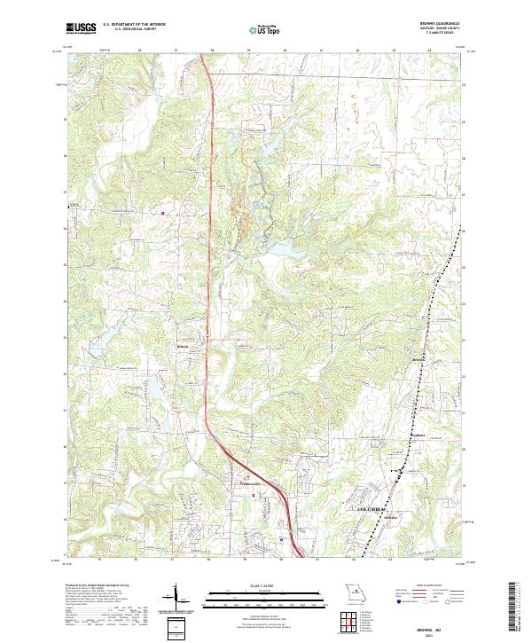 2021 Browns2021 Print · USGSNorthern Boone County is captured here in the early twenty-first century as the city of Columbia grows toward the rural communities of Hinton and Browns. Local historians can trace family landmarks like Dripping Spring Cemetery and the complex waterways of Rocky Fork Creek.
 - 2021 Map of Hallsville, 2021 Print
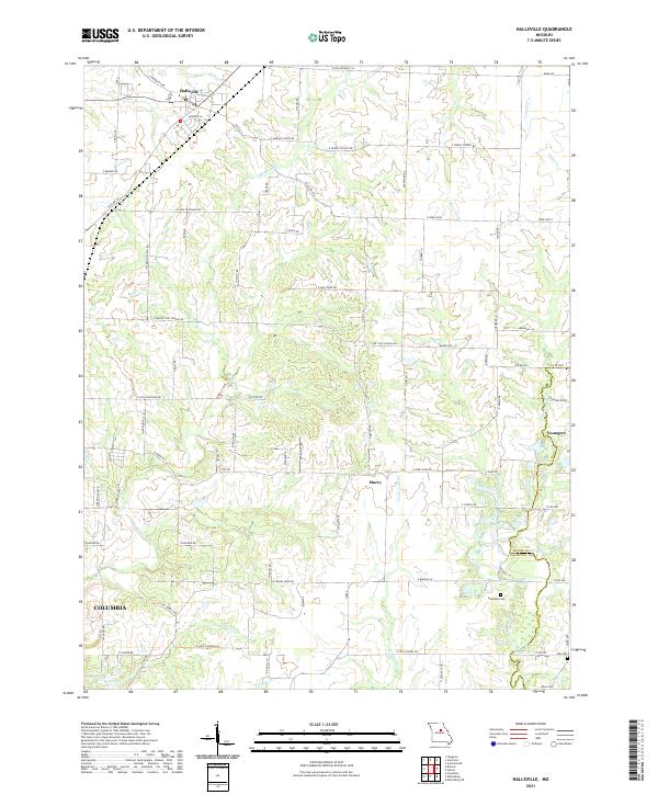 2021 Hallsville2021 Print · USGSThis central Missouri landscape near the Boone and Callaway county line showcases rural community life and the northern reaches of COLUMBIA. Researchers can trace old family roots and rural networks through landmarks like Stephens Cem, E JUDY SCHOOL RD, and the settlement of Youngers.
 - 2021 Map of Hilldale, 2021 Print
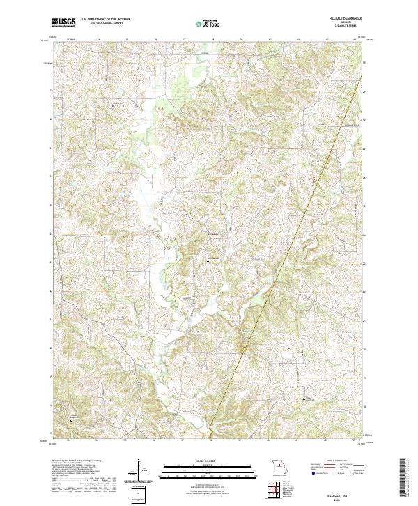 2021 Hilldale2021 Print · USGSThe borderlands of Howard and Boone counties are captured here in the early 2020s, showing a landscape shaped by the winding Moniteau Creek. Genealogists and local historians can locate several family burial grounds like Ricketts Cem or trace unique natural landmarks such as U S Salt Springs.
 - 2021 Map of Centralia, 2021 Print
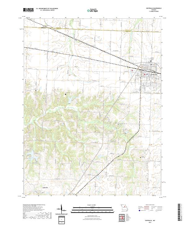 2021 Centralia2021 Print · USGSThe northern Missouri borderlands between Boone and Audrain counties appear here in their modern agricultural and residential configuration. Genealogists and local historians can trace family plots at Centralia Cem or find smaller sites like Fountain Cem and Union Cem.
 - 2021 Map of Harrisburg, 2021 Print
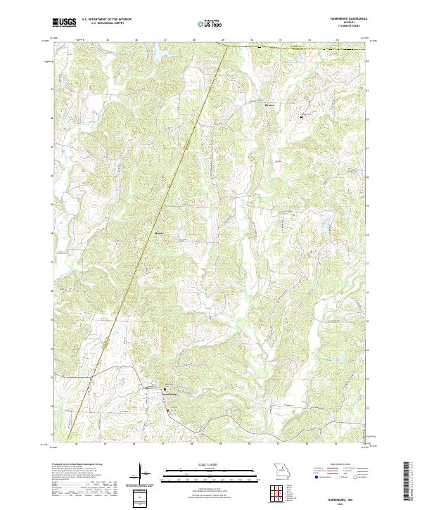 2021 Harrisburg2021 Print · USGSHarrisburg and the surrounding Boone County countryside appear here in contemporary detail during the early 2020s. Researchers can trace local lineage and property at the Harrisburg Cem and Robison Cem or follow the paths of Perche Cr and Coon Cr.
 - 2021 Map of Sturgeon SW, 2021 Print
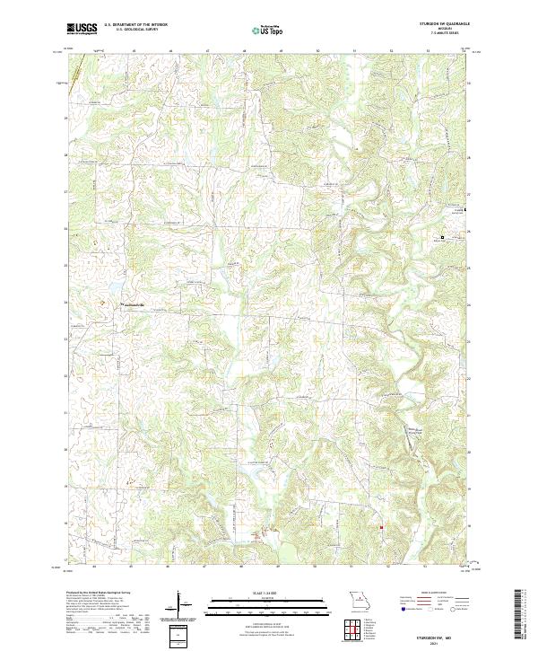 2021 Sturgeon SW2021 Print · USGSBoone County's rural heartland is captured in this survey, showing the agricultural community of Woodlandville and its surrounding creek systems. Genealogists can locate family landmarks like Dripping Spring Cem or trace the namesake N Evert School Rd.
 - 2021 Map of Centralia NE, 2021 Print
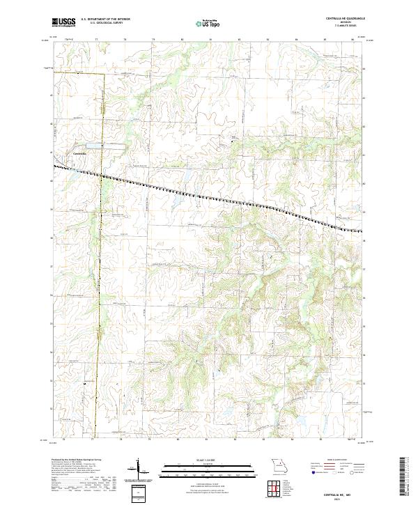 2021 Centralia NE2021 Print · USGSAudrain County’s agricultural heartland is documented here in the early twenty-first century as the city of Centralia expands toward the county line. Genealogists and local historians can locate early burial sites like Skull Lick Cem and German Cem or trace the route of the Wabash RR.
 - 2021 Map of Sturgeon, 2021 Print
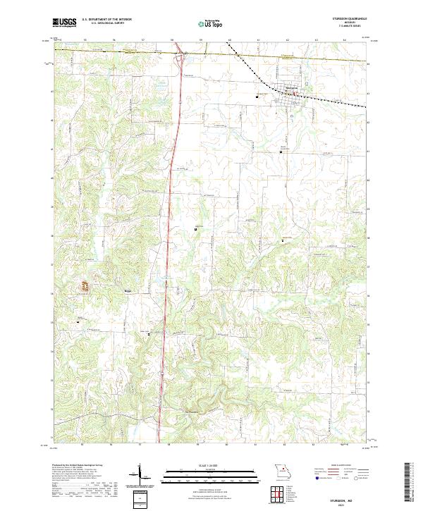 2021 Sturgeon2021 Print · USGSThe northern Boone County borderlands are shown here in the early 2020s, centered on the communities of Sturgeon and Clark. Researchers can trace rural lineages through numerous local sites like Mount Carmel Cem and The Pinnacles.
 - 2021 Map of Hatton, 2021 Print
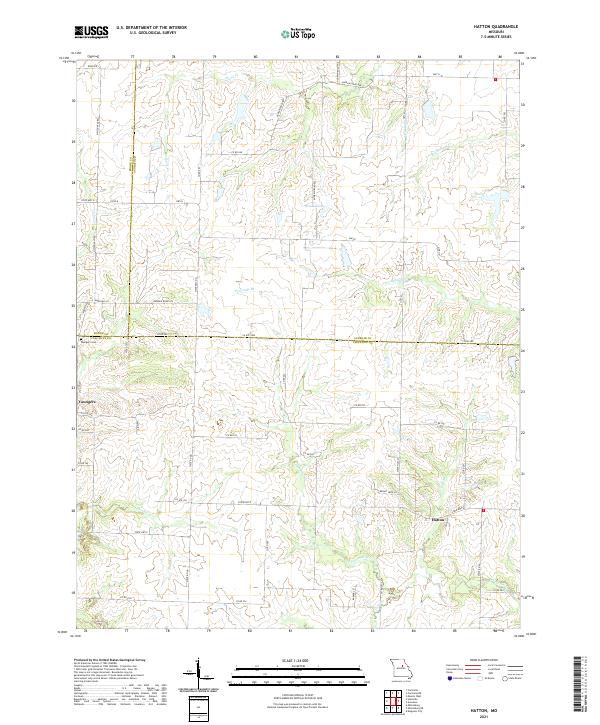 2021 Hatton2021 Print · USGSMid-Missouri's rural crossroads come alive in this detailed look at the borderlands of Boone, Audrain, and Callaway counties. Genealogists and local historians can trace the landscape around Youngers and Hatton, locating the Youngers Cem and winding creeks like Fourmile Br.
 - 2021 Map of Jefferson City NW, 2021 Print
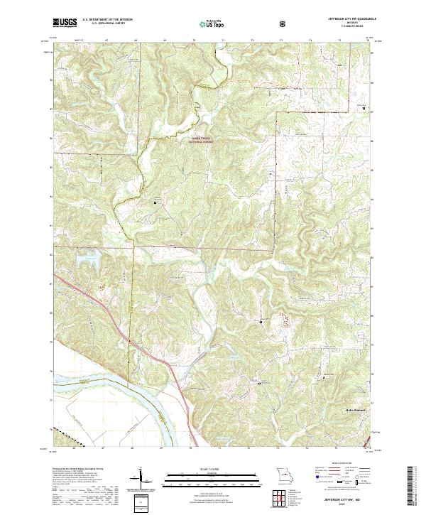 2021 Jefferson City NW2021 Print · USGSCallaway and Boone counties are seen here as they appeared recently, centered on the wooded breaks and creek valleys north of the Missouri River. Genealogists and hikers can trace the Katy Trl or locate family sites like Mount Zion Cem and Wallace Cem.
 - 2021 Map of Jamestown, 2021 Print
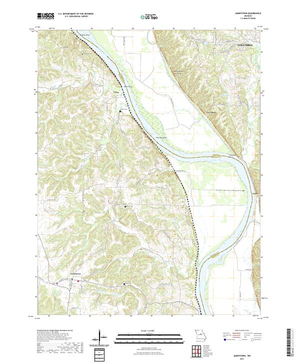 2021 Jamestown2021 Print · USGSCentral Missouri's river country comes to life in this survey of the riverbanks between Moniteau and Boone counties. Genealogists and local historians can trace family roots at Hickam Cem or Bethel Cem and explore the early riverfront settlements of Lupus, Providence, and Easley.
 - 2021 Map of Rocheport, 2021 Print
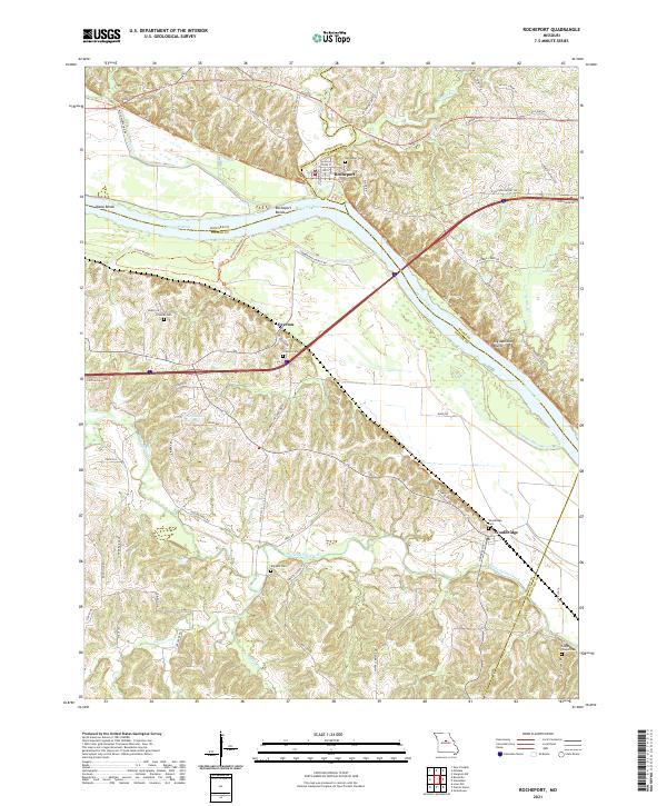 2021 Rocheport2021 Print · USGSThe Missouri riverfront and the bluffs of Boone and Cooper counties are shown here in the early twenty-first century. Genealogists and hikers can trace the Katy Trl past historic Rocheport or locate family sites like Clayton Cem and Wooldridge.
 - 2021 Map of Huntsdale, 2021 Print
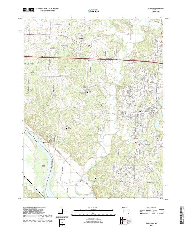 2021 Huntsdale2021 Print · USGSBoone County river towns and the outskirts of the county seat are documented here in the early twenty-first century. Genealogists and local historians can trace rural landmarks from Big Manitou Bluffs to burial sites like Mount Nebo Cem and Valley Springs Cem.
 - 2021 Map of Ashland, 2021 Print
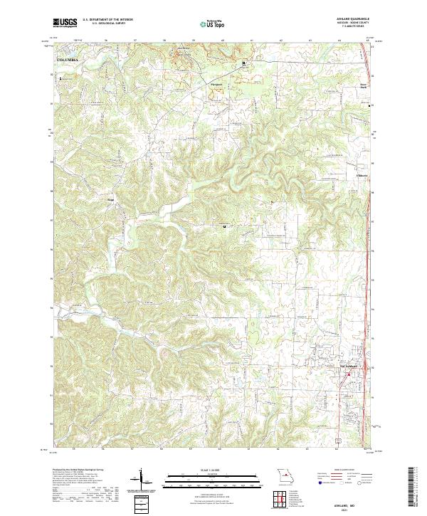 2021 Ashland2021 Print · USGSBoone County south of the state capital area reveals its rural character and growing settlements in the early 2020s. Genealogists and hikers can trace family sites like Samuel Cem or explore the terrain of Rock Bridge and the Devils Icebox.
 - 2021 Map of Millersburg, 2021 Print
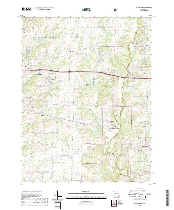 2021 Millersburg2021 Print · USGSModern Boone and Callaway counties meet at the edge of the national forest in this 2020s study. Researchers can trace local lineage through Prairie Grove Cem or locate rural landmarks like Cedar Creek Airport and Millersburg.
 - 2021 Map of Hartsburg, 2021 Print
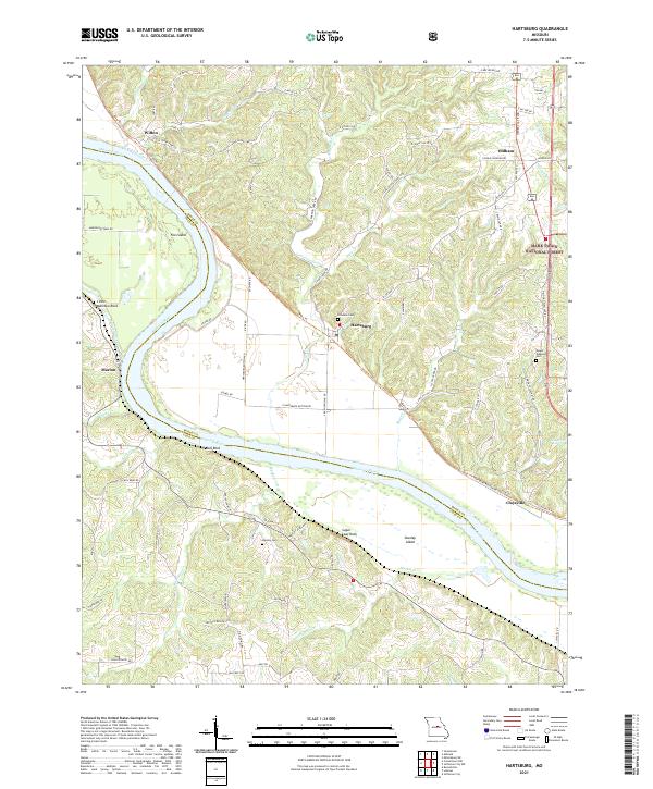 2021 Hartsburg2021 Print · USGSThe Missouri River bottoms near Boone and Cole County come alive in this recent survey. Local historians can trace riverfront landmarks like Sugar Loaf Rock and Little Manitou Rock or locate rural family sites at Friedens Cem.
 - 2021 Map of Centertown NW, 2021 Print
 2021 Centertown NW2021 Print · USGSThe Missouri River bluffs and rolling hills of Moniteau County appear in detail during the early twenty-first century. Researchers can trace family history through numerous rural burial sites like Sweetwater Cem or Marion Cem, and follow the old rail corridor near Centertown.
 - 2021 Map of Columbia, 2021 Print
 2021 Columbia2021 Print · USGSColumbia is shown as a thriving academic and cultural hub in the early 2020s, dominated by its historic universities and intricate creek systems. Researchers can trace local heritage through sites like the Boone County Courthouse, Jewell Cemetery, and the University of Missouri campus.
 - 2021 Map of Millersburg SW, 2021 Print
 2021 Millersburg SW2021 Print · USGSBoone County's landscape in the early 2020s is defined by the Columbia Regional Airport and the forested reaches of the Mark Twain National Forest. Trace family history at Johnson Cem or explore the terrain near Devil's Backbone and Duley Mill Bridge.
End of results
Showing maps 1-19 of 19
Top cities of Boone County
- Columbia historical maps
- Centralia historical maps
- Ashland historical maps
- Hallsville historical maps
- Sturgeon historical maps
- Rocheport historical maps
See more
Frequently asked questions
- What are the different types of historical maps available for Boone County?
- What is the oldest map of Boone County?
- Where can I purchase historical maps of Boone County for my home or office?
- Where can I download high-res historical maps of Boone County?
- Are there historical topographic maps available for Boone County?
- Is there historical aerial imagery available for Boone County?
- Where are historical maps of Boone County sourced from?