2000s (21st Century) Maps of Boone County, Missouri
Explore 80 historic maps of Boone County from the 2000s (21st Century). These maps offer a rare glimpse into what life looked like during the 2000s — showing old roads, neighborhoods, homes, and landmarks that have changed or disappeared over time.
Whether you're researching your family's past, planning a metal detecting trip, or studying how Boone County's landscape evolved across the 2000s, these high-resolution maps are a powerful tool for exploring the history of this region.
- Focus on a specific era: All maps on this page are from the 2000s, giving you a focused view of this time period.
- See what’s changed: Compare century-old streets, trails, and buildings to today's modern landscape using overlays and satellite layers.
- Research with precision: Use these maps for genealogy, historical research, land use analysis, or educational projects.
- View, download, or print: Maps are fully viewable online in high resolution, and can be downloaded or printed for your own records.
Start exploring Boone County's history through authentic maps from the 2000s. This is your window into the past.
Boone County, MO maps
(80)- 2000 Map of Millersburg, 2002 Print
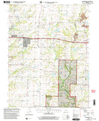 2000 Millersburg2002 Print · USGSBoone and Callaway Counties are captured here at the end of the twentieth century, showing a mix of national forest lands and rural settlements. Genealogists can trace family landmarks like Cedar Ch Cem, Olivet Ch, and the crossroads at Harg.
 - 2000 Map of Hartsburg, 2003 Print
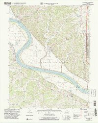 2000 Hartsburg2003 Print · USGSThe Missouri River bluffs and bottomlands are captured here at the end of the twentieth century. Genealogists and historians can trace family sites like Steeley Cem and Bonds Chapel, or locate the Indian Mound and State Auxiliary Prison (Church Farm).
 - 2000 Map of Jefferson City NW, 2003 Print
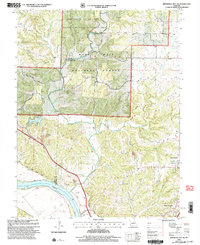 2000 Jefferson City NW2003 Print · USGSCallaway County and the Missouri River bottomlands are captured here at the turn of the millennium as a blend of conservation forest and river-fed agriculture. Researchers can trace family history at Wallace Cemetery or explore the corridor of the Katy Trail State Park near the State Prison Farm.
 - 2000 Map of Millersburg SW, 2003 Print
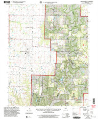 2000 Millersburg SW2003 Print · USGSSouthern Boone County at the turn of the century shows a landscape where university research lands and national forest meet regional infrastructure. Genealogists and local historians can locate Barnes Chapel, Harris Cem, and the rural community of Englewood.
 - 2011 Map of Rocheport, 2011 Print
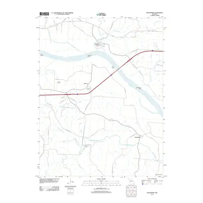 2011 Rocheport2011 Print · USGSThe Missouri River bluffs near the Ozark edge are shown in detail during the early twenty-first century. Researchers can trace family history at Big Lick Cemetery or Schmidt Cemetery and locate historic sites like Gooch Mill and the riverfront at Rocheport.
 - 2011 Map of Centertown NW, 2011 Print
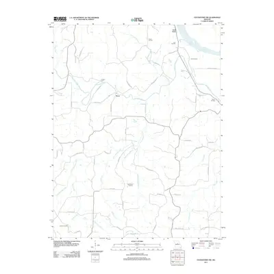 2011 Centertown NW2011 Print · USGSThe rural landscapes of Cole County are captured here in the early twenty-first century, centered on the Missouri River bluffs. Researchers can trace ancestral property and community hubs through several rural burial grounds like Sweetwater Cemetery and the settlement at Bacon.
 - 2011 Map of Huntsdale, 2011 Print
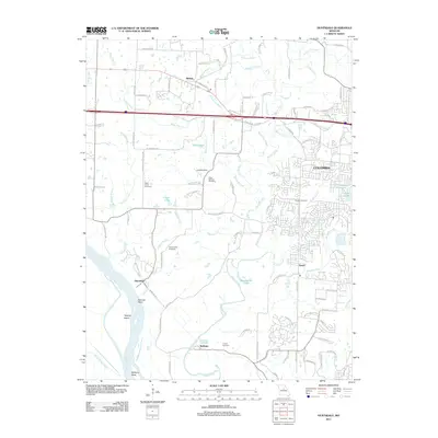 2011 Huntsdale2011 Print · USGSThe western edges of Columbia and the winding Missouri River bottoms are captured here in the early twenty-first century. Researchers can locate several family cemeteries, including Valley Springs and Conley, alongside river landmarks like Tadpole Island.
 - 2011 Map of Columbia, 2011 Print
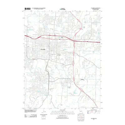 2011 Columbia2011 Print · USGSColumbia and its surrounding Boone County landscape are captured here in the early twenty-first century, showing the city's modern expansion alongside deep-rooted landmarks. Trace the grounds of the University of Missouri, locate historic burial sites like Antioch Cemetery, or follow the winding path of Hinkson Creek.
 - 2011 Map of Ashland, 2011 Print
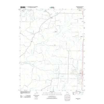 2011 Ashland2011 Print · USGSBoone County's central corridor is captured here during the early twenty-first century, showing the growth of Ashland and Pierpont. Researchers can locate several family burial sites including Samuel Cemetery and Oakland Cemetery, or trace the winding course of Little Bonne Femme Creek.
 - 2012 Map of Hartsburg, 2012 Print
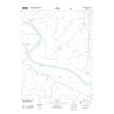 2012 Hartsburg2012 Print · USGSThe Missouri River corridor comes into sharp focus during the early twenty-first century, highlighting riverfront towns and geological landmarks. Genealogists can locate family sites at Friedens Cemetery and Mount Pleasant Cemetery or trace the river's edge past Little Manitou Rocks and Fox Island.
 - 2012 Map of Millersburg, 2012 Print
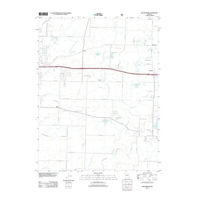 2012 Millersburg2012 Print · USGSEastern Boone County is shown here in the early twenty-first century as suburban growth follows the historic Interstate 70 route. Genealogists can trace family sites like Simpson Cemetery and Allen Cemetery or find rural landmarks such as Little Dixie Lake.
 - 2012 Map of Jefferson City NW, 2012 Print
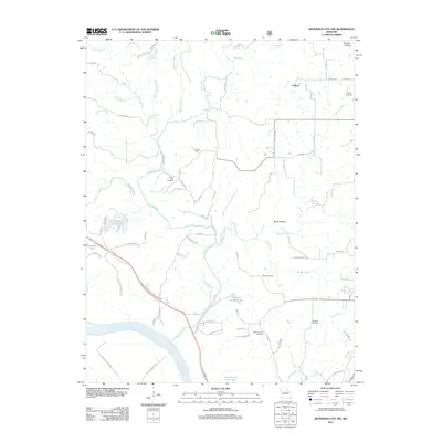 2012 Jefferson City NW2012 Print · USGSNorth of the Missouri River, this early 21st-century landscape preserves a network of rural homesteads and family burial grounds. Researchers can trace local lineage through several sites including Mount Vernon Cemetery, Wallace Cemetery, and the settlement of Folsom.
 - 2012 Map of Millersburg SW, 2012 Print
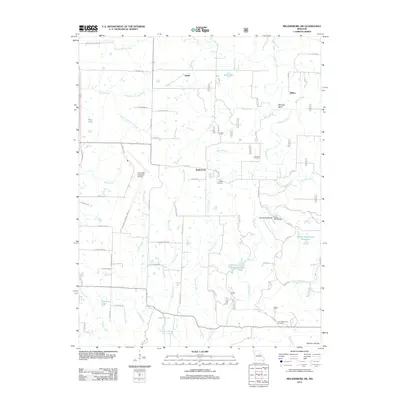 2012 Millersburg SW2012 Print · USGSBoone County's rolling creek valleys and rural hubs are captured here in the early twenty-first century. Genealogists and hikers can trace the terrain around Englewood, locating the Johnson Cemetery or the crossing at Duley Mill Bridge along the winding Cedar Creek.
 - 2012 Map of Sturgeon, 2012 Print
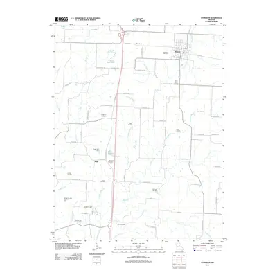 2012 Sturgeon2012 Print · USGSSturgeon and the rural landscapes of northern Boone County are captured here in the early twenty-first century. Genealogists and local historians can locate several family cemeteries such as Nailer Cemetery and prominent landmarks like The Pinnacles.
 - 2012 Map of Harrisburg, 2012 Print
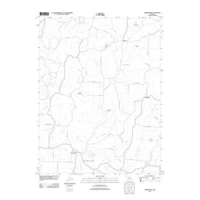 2012 Harrisburg2012 Print · USGSBoone County, Missouri, is captured here in the early twenty-first century, showing a rural landscape of winding creeks and small settlements. Genealogists can locate Robison Cemetery or trace the family-named roads like N Barber Rd near the communities of Harrisburg and Rileysburg.
 - 2012 Map of Hatton, 2012 Print
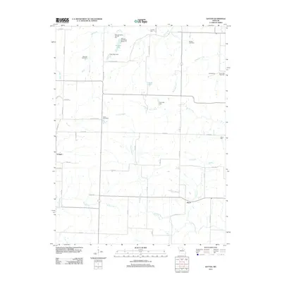 2012 Hatton2012 Print · USGSCallaway County's rural crossroads and water systems are documented here in the early twenty-first century. Researchers can trace family land and small-scale infrastructure around Hatton, Youngers, and private landmarks like Bastian Lake Dam.
 - 2012 Map of Centralia, 2012 Print
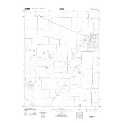 2012 Centralia2012 Print · USGSCentralia and the surrounding Missouri countryside are shown in detail as they appeared during the early twenty-first century. Researchers can locate family roots at Far West Cemetery or Union Cemetery and trace the local landscape through features like Tri-City Lake and the Chance Airport.
 - 2012 Map of Sturgeon SW, 2012 Print
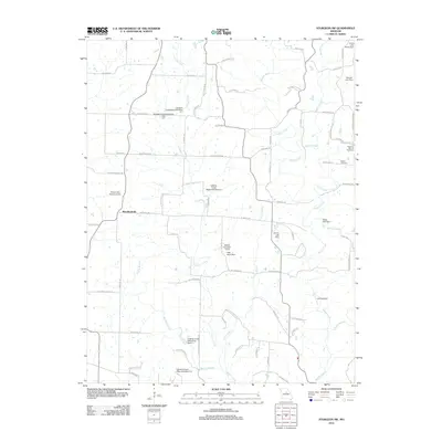 2012 Sturgeon SW2012 Print · USGSWoodlandville and the surrounding Boone County countryside appear in this early 21st-century survey, showcasing a landscape of managed watersheds and family legacies. Researchers can trace historic local road networks to the Botner Cemetery, the Dripping Spring Cemetery, and several watershed dams along Perche Creek.
 - 2012 Map of Browns, 2012 Print
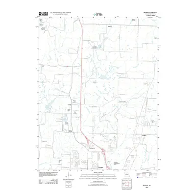 2012 Browns2012 Print · USGSNorthern Boone County in the early twenty-first century shows a landscape where growing residential corridors meet traditional rural hamlets. Researchers can trace the development of Hinton and Prathersville or locate local landmarks like Camp Takimina and Bo Co Mo Lake.
 - 2012 Map of Hilldale, 2012 Print
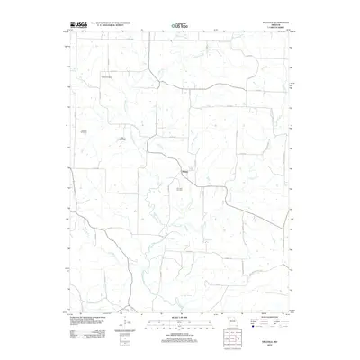 2012 Hilldale2012 Print · USGSHoward County's rural interior is captured in this early 21st-century survey, showing the agricultural landscape north of the Missouri River. Genealogists and local researchers can trace family landmarks like Ricketts Cemetery or locate natural features such as Big Spring and U.S. Salt Springs.
 - 2012 Map of Hallsville, 2012 Print
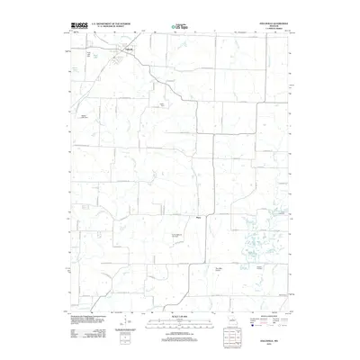 2012 Hallsville2012 Print · USGSHallsville and the surrounding Boone County countryside appear in this 2012 survey as the local landscape transitions toward the Two Mile Prairie. Genealogists and researchers can trace family landmarks like Stephens Cemetery, Oak Cemetery, and the quiet crossroads of Murry.
 - 2012 Map of Centralia NE, 2012 Print
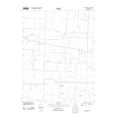 2012 Centralia NE2012 Print · USGSAgricultural development and rural water management define this Central Missouri landscape as it appeared in the early twenty-first century. Genealogists and local historians can trace family roots through sites like Skull Lick Cemetery and German Cemetery, or locate the settlement at Gant.
 - 2012 Map of Jamestown, 2012 Print
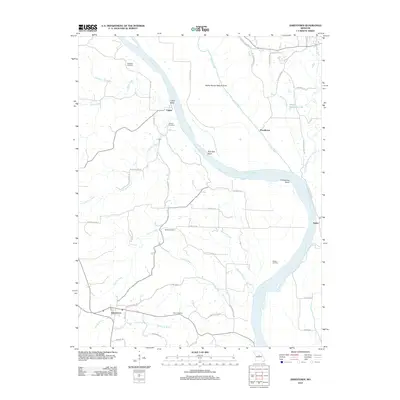 2012 Jamestown2012 Print · USGSThe Missouri River bottoms and bluffs near Columbia appear here in the early twenty-first century, showing a landscape defined by deep river bends and rural crossings. Researchers can locate family landmarks like Pettigrew Cemetery, the geological Roche Percée Natural Arch, and small riverfront communities like Lupus and Easley.
 - 2014 Map of Sturgeon SW, 2014 Print
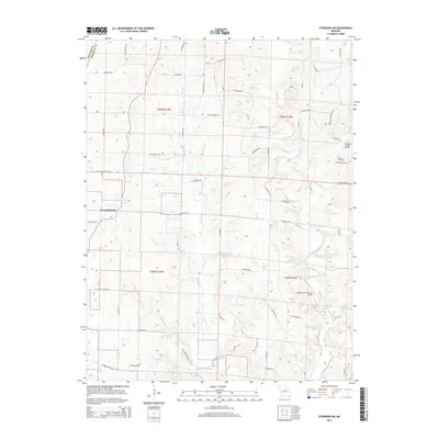 2014 Sturgeon SW2014 Print · USGSBoone County's rural landscape is captured here in the early twenty-first century, centered on the community of Woodlandville. Genealogists can trace local roots at Dripping Spring Cemetery and Botner Cemetery, while aviation enthusiasts can locate the White Cloud Flying Field.
 - 2014 Map of Hallsville, 2014 Print
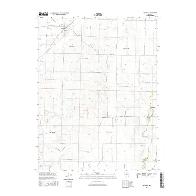 2014 Hallsville2014 Print · USGSBoone County at the start of the 2010s shows a landscape of established farmsteads and rural crossroads. Researchers can trace family history at Stephens Cemetery and Oak Cemetery or explore the drainage basins of Hinkson Cr and Cedar Cr.
Showing maps 1-25 of 80
Top cities of Boone County
- Columbia historical maps
- Centralia historical maps
- Ashland historical maps
- Hallsville historical maps
- Sturgeon historical maps
- Rocheport historical maps
See more
Frequently asked questions
- What are the different types of historical maps available for Boone County?
- What is the oldest map of Boone County?
- Where can I purchase historical maps of Boone County for my home or office?
- Where can I download high-res historical maps of Boone County?
- Are there historical topographic maps available for Boone County?
- Is there historical aerial imagery available for Boone County?
- Where are historical maps of Boone County sourced from?