Old Maps of Callaway County, Missouri for Metal Detecting
Plan your next treasure hunt with 97 historic maps of Callaway County. Find old homesites, ghost towns, trails, and gathering spots that may be lost to time — perfect for identifying promising metal detecting locations.
- Locate forgotten sites: Uncover places like long-lost settlements, abandoned rail lines, or gathering spots.
- Plan better hunts: Use map overlays combined with LiDAR or satellite views to narrow in on historically rich areas.
- Made for detectorists: Thousands of hobbyists use these maps to discover relics, coins, and hidden history.
Use these historic maps to boost your research and find new opportunities beneath the surface of Callaway County.
Callaway County, MO maps
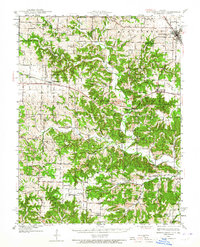
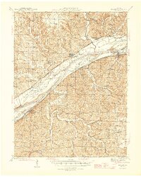
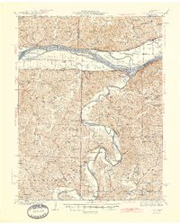
(97)- 1886 Map of Jefferson City
 1886 Jefferson City1886 Print · USGSCovers Callaway County, including Columbia, Jefferson City, and other nearby areas
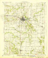
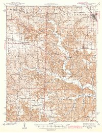
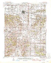
 - 1890 Map of Mexico
 1890 Mexico1890 Print · USGSCovers Callaway County, including Mexico, Vandalia, and other nearby areas5 unique versions available
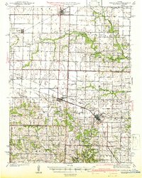
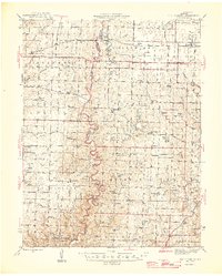
 - 1890 Map of Moberly
 1890 Moberly1890 Print · USGSCovers Callaway County, including Columbia, Moberly, and other nearby areas6 unique versions available
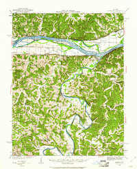
 - 1890 Map of Fulton
 1890 Fulton1890 Print · USGSCovers Callaway County, including Fulton, Montgomery City, and other nearby areas5 unique versions available
 - 1894 Map of Jefferson City
 1894 Jefferson City1894 Print · USGSCovers Callaway County, including Columbia, Jefferson City, and other nearby areas4 unique versions available
 - 1928 Map of Fulton, 1954 Print
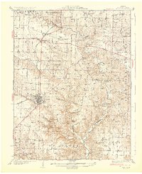
 1928 Fulton1954 Print · USGSCovers Callaway County, including Fulton, Kingdom City, and other nearby areas2 unique versions available
 - 1931 Map of Fulton
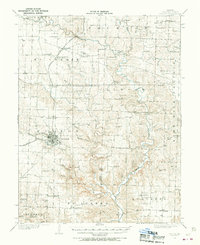
 1931 Fulton1931 Print · USGSCovers Callaway County, including Fulton, Kingdom City, and other nearby areas2 unique versions available
 - 1932 Map of Mexico
 1932 Mexico1932 Print · USGSCovers Callaway County, including Mexico, Auxvasse, and other nearby areas3 unique versions available
 - 1935 Map of Morrison
 1935 Morrison1935 Print · USGSCovers Callaway County, including Gasconade, Rhineland, and other nearby areas
 - 1939 Map of Jefferson City
 1939 Jefferson City1939 Print · USGSCovers Callaway County, including Jefferson City, Holts Summit, and other nearby areas2 unique versions available
 - 1939 Map of Jefferson City, 1954 Print
 1939 Jefferson City1954 Print · USGSCovers Callaway County, including Jefferson City, Holts Summit, and other nearby areas2 unique versions available
 - 1940 Map of Montgomery City, 1965 Print
 1940 Montgomery City1965 Print · USGSCovers Callaway County, including Montgomery City, Readsville, and other nearby areas2 unique versions available
 - 1942 Map of Montgomery City
 1942 Montgomery City1942 Print · USGSCovers Callaway County, including Montgomery City, Readsville, and other nearby areas2 unique versions available
 - 1942 Map of Wellsville
 1942 Wellsville1942 Print · USGSCovers Callaway County, including Wellsville, Laddonia, and other nearby areas2 unique versions available
 - 1942 Map of Jefferson City
 1942 Jefferson City1942 Print · USGSCovers Callaway County, including Jefferson City, Holts Summit, and other nearby areas2 unique versions available
 - 1942 Map of Morrison, 1961 Print
 1942 Morrison1961 Print · USGSCovers Callaway County, including Gasconade, Rhineland, and other nearby areas2 unique versions available
 - 1944 Map of Millersburg, 1963 Print
 1944 Millersburg1963 Print · USGSCovers Callaway County, including Columbia, Ashland, and other nearby areas
 - 1945 Map of Mokane
 1945 Mokane1945 Print · USGSCovers Callaway County, including Chamois, Mokane, and other nearby areas3 unique versions available
 - 1945 Map of Morrison
 1945 Morrison1945 Print · USGSCovers Callaway County, including Gasconade, Rhineland, and other nearby areas2 unique versions available
 - 1945 Map of Centralia
 1945 Centralia1945 Print · USGSCovers Callaway County, including Columbia, Centralia, and other nearby areas2 unique versions available
 - 1946 Map of Millersburg
 1946 Millersburg1946 Print · USGSCovers Callaway County, including Columbia, Ashland, and other nearby areas2 unique versions available
 - 1947 Map of Jefferson City, 1949 Print
 1947 Jefferson City1949 Print · USGSCovers Callaway County, including Columbia, Jefferson City, and other nearby areas
 - 1948 Map of Quincy
 1948 Quincy1948 Print · USGSCovers Callaway County, including Quincy, Hannibal, and other nearby areas2 unique versions available
 - 1949 Map of Saint Louis
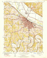
 1949 Saint Louis1949 Print · USGSCovers Callaway County, including St. Louis, O'Fallon, and other nearby areas2 unique versions available
 - 1953 Map of Moberly
 1953 Moberly1953 Print · USGSCovers Callaway County, including Columbia, Moberly, and other nearby areas
Showing maps 1-25 of 97
Top cities of Callaway County
- Fulton historical maps
- Holts Summit historical maps
- Auxvasse historical maps
- New Bloomfield historical maps
- Lake Mykee Town historical maps
- Mokane historical maps
See more
Frequently asked questions
- What are the different types of historical maps available for Callaway County?
- What is the oldest map of Callaway County?
- Where can I purchase historical maps of Callaway County for my home or office?
- Where can I download high-res historical maps of Callaway County?
- Are there historical topographic maps available for Callaway County?
- Is there historical aerial imagery available for Callaway County?
- Where are historical maps of Callaway County sourced from?