2000s (21st Century) Maps of Callaway County, Missouri
Explore 101 historic maps of Callaway County from the 2000s (21st Century). These maps offer a rare glimpse into what life looked like during the 2000s — showing old roads, neighborhoods, homes, and landmarks that have changed or disappeared over time.
Whether you're researching your family's past, planning a metal detecting trip, or studying how Callaway County's landscape evolved across the 2000s, these high-resolution maps are a powerful tool for exploring the history of this region.
- Focus on a specific era: All maps on this page are from the 2000s, giving you a focused view of this time period.
- See what’s changed: Compare century-old streets, trails, and buildings to today's modern landscape using overlays and satellite layers.
- Research with precision: Use these maps for genealogy, historical research, land use analysis, or educational projects.
- View, download, or print: Maps are fully viewable online in high resolution, and can be downloaded or printed for your own records.
Start exploring Callaway County's history through authentic maps from the 2000s. This is your window into the past.
Callaway County, MO maps
(101)- 2000 Map of Millersburg, 2002 Print
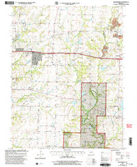 2000 Millersburg2002 Print · USGSBoone and Callaway Counties are captured here at the end of the twentieth century, showing a mix of national forest lands and rural settlements. Genealogists can trace family landmarks like Cedar Ch Cem, Olivet Ch, and the crossroads at Harg.
 - 2000 Map of Millersburg NE, 2003 Print
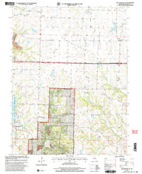 2000 Millersburg NE2003 Print · USGSSettlement and conservation meet in central Missouri at the turn of the millennium. Genealogists and researchers can locate Rising Sun Ch, New Richland Ch Cem, and the Callaway R 1 Sch among the rolling hills and forest.
 - 2000 Map of Mokane East, 2003 Print
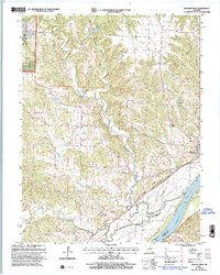 2000 Mokane East2003 Print · USGSCallaway County at the turn of the millennium shows a landscape shaped by the Missouri River and the conversion of the old rail corridor. Local researchers can trace family sites at Middle River Cem, explore the community at Mokane, and locate old landmarks like Browns Ford.
 - 2000 Map of Mokane West, 2003 Print
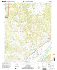 2000 Mokane West2003 Print · USGSMissouri River bottomlands and Callaway County uplands meet in this 2000 survey, showing the landscape just before the modern era. Genealogists and hikers can trace the Katy State Park Trail through Mokane or locate Mt Tabor Cem and the river crossing at Browns Ford.
 - 2000 Map of Jefferson City NW, 2003 Print
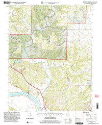 2000 Jefferson City NW2003 Print · USGSCallaway County and the Missouri River bottomlands are captured here at the turn of the millennium as a blend of conservation forest and river-fed agriculture. Researchers can trace family history at Wallace Cemetery or explore the corridor of the Katy Trail State Park near the State Prison Farm.
 - 2000 Map of Guthrie, 2003 Print
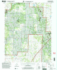 2000 Guthrie2003 Print · USGSCallaway County at the turn of the century shows a rural landscape where the timber of the Mark Twain National Forest meets active resource extraction. Researchers can locate local landmarks like Guthrie, the Carrington Sch, and numerous family burial sites such as the Hundley Cem.
 - 2000 Map of Fulton, 2003 Print
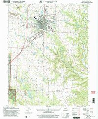 2000 Fulton2003 Print · USGSFulton was a major regional hub for education and healthcare at the turn of the millennium. Genealogists and historians can trace the expansive grounds of State Hospital No 1, the local Carver Sch, and the quiet rural roads of Hams Prairie.
 - 2000 Map of New Bloomfield, 2003 Print
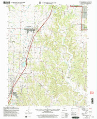 2000 New Bloomfield2003 Print · USGSCallaway County at the turn of the millennium shows a landscape where established towns like New Bloomfield meet the edges of the Mark Twain National Forest. Genealogists can trace family names through over a dozen rural burial sites, including Cason Cem, Williams Cem, and Foster Cem.
 - 2000 Map of Millersburg SW, 2003 Print
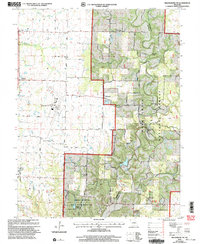 2000 Millersburg SW2003 Print · USGSSouthern Boone County at the turn of the century shows a landscape where university research lands and national forest meet regional infrastructure. Genealogists and local historians can locate Barnes Chapel, Harris Cem, and the rural community of Englewood.
 - 2011 Map of Osage City, 2011 Print
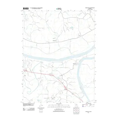 2011 Osage City2011 Print · USGSThe Missouri and Osage rivers converge here in the early twenty-first century, shaping a landscape of river towns and rural family lands. Genealogists can locate several local burial sites including Saint Xaviers Cemetery, Wolfrum Cemetery, and Link Cemetery.
 - 2011 Map of Jefferson City, 2011 Print
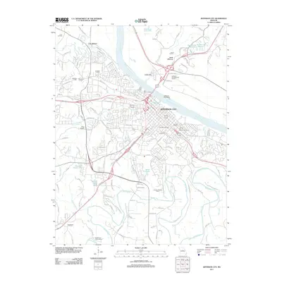 2011 Jefferson City2011 Print · USGSJefferson City and the Missouri River corridor are captured here in the early twenty-first century, showing the capital's expansion and its river-bound geography. Genealogists and historians can locate Lincoln University, the Jefferson City National Cemetery, and family sites like Smith Cemetery or Lamkin Cemetery.
 - 2012 Map of Millersburg, 2012 Print
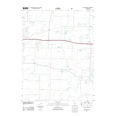 2012 Millersburg2012 Print · USGSEastern Boone County is shown here in the early twenty-first century as suburban growth follows the historic Interstate 70 route. Genealogists can trace family sites like Simpson Cemetery and Allen Cemetery or find rural landmarks such as Little Dixie Lake.
 - 2012 Map of Jefferson City NW, 2012 Print
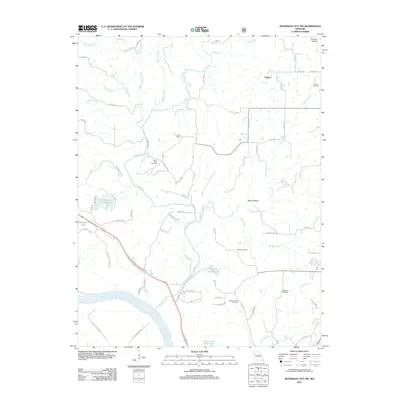 2012 Jefferson City NW2012 Print · USGSNorth of the Missouri River, this early 21st-century landscape preserves a network of rural homesteads and family burial grounds. Researchers can trace local lineage through several sites including Mount Vernon Cemetery, Wallace Cemetery, and the settlement of Folsom.
 - 2012 Map of Guthrie, 2012 Print
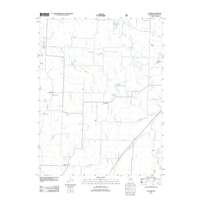 2012 Guthrie2012 Print · USGSGuthrie and Callaway County are shown here in the early twenty-first century, revealing a landscape of long-established farmsteads and rural crossroads. Local historians can trace family ties through several burial grounds, including Millers Creek Cemetery and Paris Fork Cemetery, or locate the Carrington Pits Picnic Area.
 - 2012 Map of Millersburg SW, 2012 Print
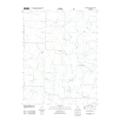 2012 Millersburg SW2012 Print · USGSBoone County's rolling creek valleys and rural hubs are captured here in the early twenty-first century. Genealogists and hikers can trace the terrain around Englewood, locating the Johnson Cemetery or the crossing at Duley Mill Bridge along the winding Cedar Creek.
 - 2012 Map of New Bloomfield, 2012 Print
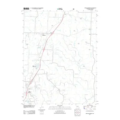 2012 New Bloomfield2012 Print · USGSCallaway County at the start of the 2010s shows a landscape of growing communities and deep-rooted family history. Genealogists can locate over a dozen burial grounds including Providence Cemetery and Caldwell Cemetery, or trace the development around Lake Mykee Town.
 - 2012 Map of Morrison, 2012 Print
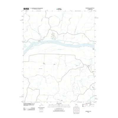 2012 Morrison2012 Print · USGSThe Missouri River valley at the start of the 21st century remains a landscape defined by its waterways and small river towns. Family historians can trace ancestral roots through numerous burial sites including Welton Cemetery and Schobe Cemetery, or explore the streets of Portland and Morrison.
 - 2012 Map of Readsville, 2012 Print
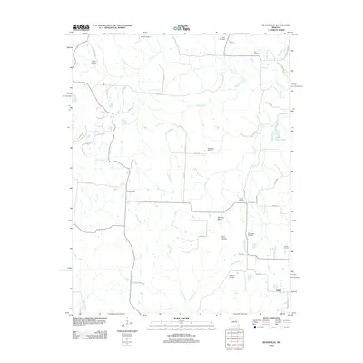 2012 Readsville2012 Print · USGSMidway through the first decade of the 2000s, this area of Callaway and Montgomery counties remains a quiet landscape of prairies and family cemeteries. Genealogists can trace local legacies at Saint Patricks Cemetery, Garrett Cemetery, and Egbert.
 - 2012 Map of Fulton, 2012 Print
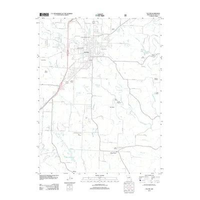 2012 Fulton2012 Print · USGSFulton and its surrounding university grounds are captured here in the early twenty-first century, showcasing the city's development and its rural southern outskirts. Genealogists can trace family sites at Muir Cemetery or Hams Prairie, while researchers can locate the Winston Churchill Memorial and Library.
 - 2012 Map of Mokane West, 2012 Print
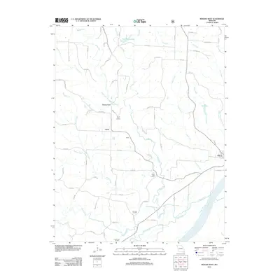 2012 Mokane West2012 Print · USGSCallaway County's riverfront and uplands are captured here in the early twenty-first century, centered on the Missouri River bend. Genealogists and local historians can trace family roots at Mount Tabor Cemetery and locate rural hubs like Mokane and Liberty.
 - 2012 Map of Millersburg NE, 2012 Print
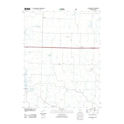 2012 Millersburg NE2012 Print · USGSCallaway County in the early twenty-first century remains a landscape of quiet crossroads and winding creeks like Millers Creek. You can trace the rural layout of Millersburg and Hereford or locate family sites at Mount Olivet Cemetery and White Cloud Cemetery.
 - 2012 Map of Calwood, 2012 Print
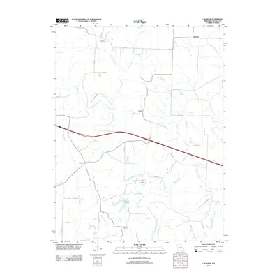 2012 Calwood2012 Print · USGSCallaway County in the early twenty-first century remains a landscape of historic family farms and interstate transit. Genealogists and local historians can trace legacy sites like Bachelor, Harrison Cemetery, and the open reaches of Tates Prairie.
 - 2012 Map of Mokane East, 2012 Print
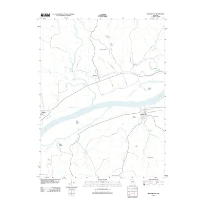 2012 Mokane East2012 Print · USGSThe Missouri River floodplain comes to life in the early 2010s, showcasing the intricate relationship between the river and the towns of Chamois and Mokane. Genealogists and local researchers can trace family plots at Bode Cemetery and Lawrence Cemetery or explore the river islands like Saint Aubert Island.
 - 2012 Map of Kingdom City, 2012 Print
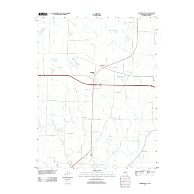 2012 Kingdom City2012 Print · USGSCallaway County at the start of the 2010s is anchored by the crossroads of Kingdom City and the surrounding rural landscapes. Researchers can trace local landmarks like McCredie, the McCredie Watershed W-1 Reservoir, and the paths of Auxvasse Creek or Richland Creek.
 - 2012 Map of Reform, 2012 Print
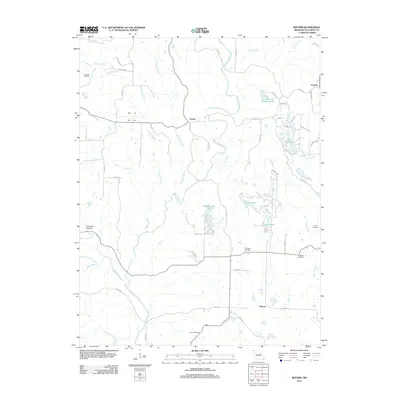 2012 Reform2012 Print · USGSCallaway County in the early twenty-first century remains a landscape of creek-fed hollows and quiet settlements. Genealogists and local historians can pinpoint family burial grounds like Old Salem Cemetery and Guerrart Cemetery or trace the development of Lake Lochaweeno.
Showing maps 1-25 of 101
Top cities of Callaway County
- Fulton historical maps
- Holts Summit historical maps
- Auxvasse historical maps
- New Bloomfield historical maps
- Lake Mykee Town historical maps
- Mokane historical maps
See more
Frequently asked questions
- What are the different types of historical maps available for Callaway County?
- What is the oldest map of Callaway County?
- Where can I purchase historical maps of Callaway County for my home or office?
- Where can I download high-res historical maps of Callaway County?
- Are there historical topographic maps available for Callaway County?
- Is there historical aerial imagery available for Callaway County?
- Where are historical maps of Callaway County sourced from?