2000s (21st Century) Maps of Cape Girardeau, Missouri
Explore 17 historic maps of Cape Girardeau from the 2000s (21st Century). These maps offer a rare glimpse into what life looked like during the 2000s — showing old roads, neighborhoods, homes, and landmarks that have changed or disappeared over time.
Whether you're researching your family's past, planning a metal detecting trip, or studying how Cape Girardeau's landscape evolved across the 2000s, these high-resolution maps are a powerful tool for exploring the history of this region.
- Focus on a specific era: All maps on this page are from the 2000s, giving you a focused view of this time period.
- See what’s changed: Compare century-old streets, trails, and buildings to today's modern landscape using overlays and satellite layers.
- Research with precision: Use these maps for genealogy, historical research, land use analysis, or educational projects.
- View, download, or print: Maps are fully viewable online in high resolution, and can be downloaded or printed for your own records.
Start exploring Cape Girardeau's history through authentic maps from the 2000s. This is your window into the past.
Cape Girardeau, MO maps
(17)- 2012 Map of Cape Girardeau NE, 2012 Print
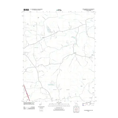 2012 Cape Girardeau NE2012 Print · USGSCape Girardeau County in the early twenty-first century remains a landscape of small settlements and family burial grounds. Researchers can trace ancestral roots through several sites like Darby and Noland Cemetery, while locating old homesteads near Leemon and Oriole.
 - 2012 Map of Scott City, 2012 Print
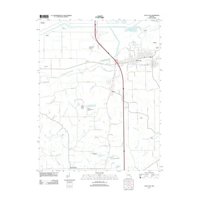 2012 Scott City2012 Print · USGSThe Missouri riverlands near the Mississippi come into focus during the early twenty-first century, showcasing a landscape of complex drainage channels and small towns. Genealogists and historians can locate legacy sites like Mount Zion Cemetery, the community of New Hamburg, and the Castor River Diversion Channel.
 - 2012 Map of Cape Girardeau, 2012 Print
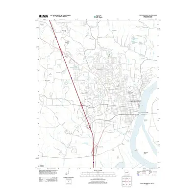 2012 Cape Girardeau2012 Print · USGSCape Girardeau sits at a vital bend in the Mississippi River during the early 21st century, balancing its role as a regional educational hub and river port. Genealogists can locate several historic burial sites like Lorimier Cemetery and McKendree Cemetery, or trace the rail landscape near Gulf Junction.
 - 2012 Map of McClure, 2012 Print
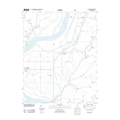 2012 McClure2012 Print · USGSThe Mississippi River floodplain and the Shawnee National Forest meet in this early 2010s survey of the Illinois-Missouri border. Researchers can trace the legacy of local families and industry through sites like Hobbs Chapel Cem, Reynoldsville, and the Big Inch Pipe Line.
 - 2015 Map of Cape Girardeau NE, 2015 Print
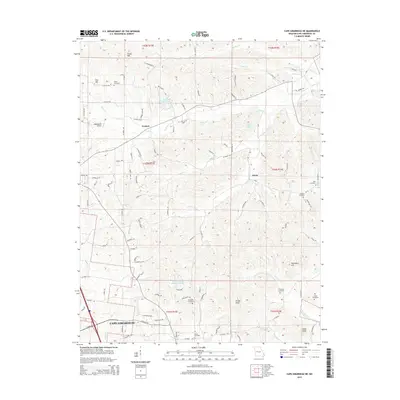 2015 Cape Girardeau NE2015 Print · USGSCape Girardeau County in the mid-2010s reveals a landscape of quiet rural settlements and family burial grounds north of the city. Genealogists and local historians can trace legacy sites like Vangilder Cemetery, Darby Cemetery, and the community of Oriole.
 - 2015 Map of Scott City, 2015 Print
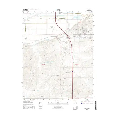 2015 Scott City2015 Print · USGSIn the early twenty-first century, the river valley south of Cape Girardeau reveals a landscape of massive water diversions and historic rail corridors. Trace family roots at Ancell Cemetery or Rockview Cemetery, and explore the growth of Scott City, Illmo, and Kelso.
 - 2015 Map of Cape Girardeau, 2015 Print
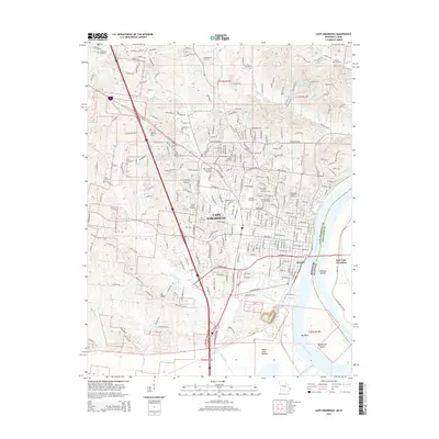 2015 Cape Girardeau2015 Print · USGSCape Girardeau and its riverfront neighborhoods appear in detail as they were in the mid-2010s, showing a mix of historic cemeteries and modern university grounds. Researchers can trace family sites like McKendree Cemetery and Salem Church or follow the Burlington Northern Santa Fe RR along the Mississippi River.
 - 2015 Map of McClure, 2015 Print
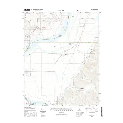 2015 McClure2015 Print · USGSThe Mississippi River corridor comes into sharp focus during the mid-2010s, showing the intersection of river navigation and the rugged Illinois bluffs. Genealogists and researchers can pinpoint Hobbs Chapel Cem, trace the settlement at McClure, and explore the drainage of Picayune Chute.
 - 2017 Map of Cape Girardeau, 2017 Print
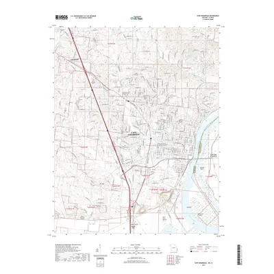 2017 Cape Girardeau2017 Print · USGSCape Girardeau and the Mississippi River bottomlands are captured here during a period of significant regional growth. Genealogists and researchers can trace local lineage through numerous sites like Old Lorimier Cem, Hitt Cem, and the Southeast Missouri State University campus.
 - 2017 Map of Scott City, 2017 Print
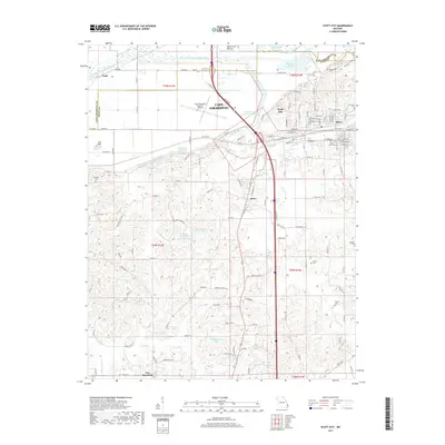 2017 Scott City2017 Print · USGSThe interconnected communities of Scott City, Illmo, and Kelso are shown in the 2010s amidst a landscape of sophisticated river diversions and low-lying bottoms. Genealogists and local historians can trace family roots through numerous sites including Mount Zion Cem, Ancell Cem, and New Hamburg.
 - 2017 Map of Cape Girardeau NE, 2017 Print
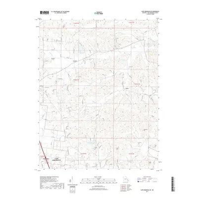 2017 Cape Girardeau NE2017 Print · USGSThe rural uplands north of Cape Girardeau are documented here in 2017, showing the area between the city and the small settlements of Leemon and Oriole. Genealogists can locate several historic burial sites, including Iona Cem, Noland Cem, and Thompson Cem.
 - 2018 Map of McClure, 2018 Print
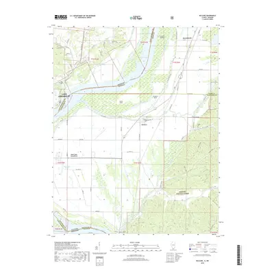 2018 McClure2018 Print · USGSThe Mississippi River borderlands between Missouri and Illinois are captured here in the late 2010s, showing a landscape defined by flood control and forest ridges. Genealogists and local historians can locate Hobbs Chapel Cem, trace the drainage of Edmondson Slough, or explore the bottomlands near McClure.
 - 2021 Map of McClure, 2021 Print
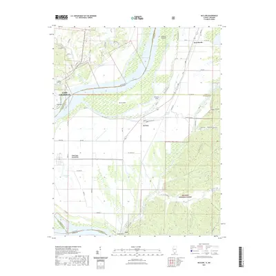 2021 McClure2021 Print · USGSThe riverfront and timbered bluffs near the Missouri-Illinois border are documented here in the early twenty-first century. Genealogists and local historians can locate Hobbs Chapel Cem and Lindsay Cem or trace the early paths through Happy Hollow and McClure.
 - 2021 Map of Cape Girardeau NE, 2021 Print
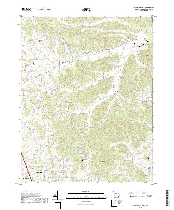 2021 Cape Girardeau NE2021 Print · USGSUpper Cape Girardeau County in the early 2020s shows a landscape where modern subdivisions meet deeply rooted family farmsteads and cemeteries. Genealogists and historians can trace local lineages at McLains Chapel Cem, Vangilder Cem, and the settlement of Leemon.
 - 2021 Map of Scott City, 2021 Print
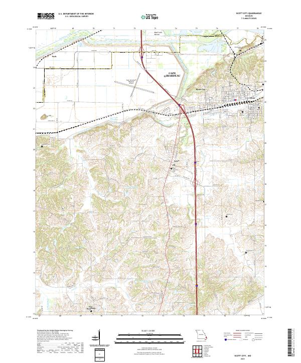 2021 Scott City2021 Print · USGSScott City and Illmo sit at the junction of the Missouri river bottoms and interior hills in the early twenty-first century. Researchers can locate family heritage sites like Saint Augustine Cem, the settlement of New Hamburg, and the Eisleben Lutheran Church Cem.
 - 2021 Map of Cape Girardeau, 2021 Print
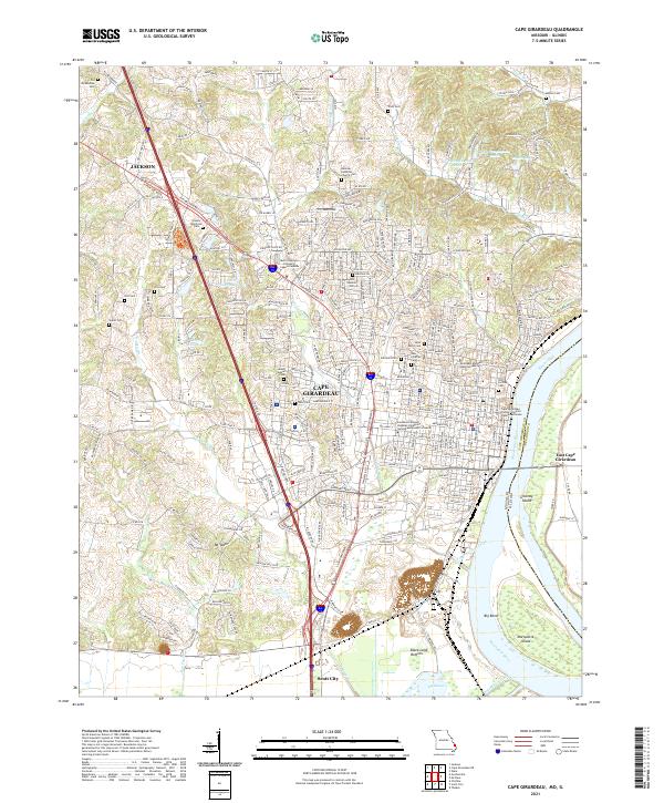 2021 Cape Girardeau2021 Print · USGSThe Mississippi River riverfront in the early 2020s shows the dense settlement of Cape Girardeau and its northern neighbor Jackson. Researchers can locate numerous family-named landmarks and burial sites like Old Lorimier Cem and the Old McKendree Cem.
 - 2024 Map of McClure, 2024 Print
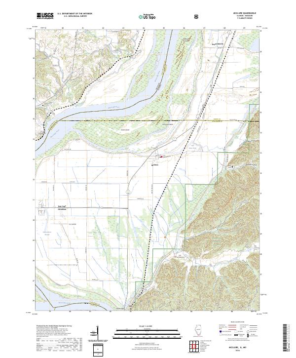 2024 McClure2024 Print · USGSSouthern Illinois river life is captured here along the Mississippi corridor in the modern day. Researchers can locate family landmarks and rural communities such as Hobbs Chapel Cem, the settlement of McClure, and the wooded terrain of Dongola Hollow.
End of results
Showing maps 1-17 of 17
Top cities near Cape Girardeau
- Jackson historical maps
- Scott City historical maps
- Chaffee historical maps
- Oran historical maps
- Benton historical maps
- Delta historical maps
See more
Top neighborhoods of Cape Girardeau
Frequently asked questions
- What are the different types of historical maps available for Cape Girardeau?
- What is the oldest map of Cape Girardeau?
- Where can I purchase historical maps of Cape Girardeau for my home or office?
- Where can I download high-res historical maps of Cape Girardeau?
- Are there historical topographic maps available for Cape Girardeau?
- Is there historical aerial imagery available for Cape Girardeau?
- Where are historical maps of Cape Girardeau sourced from?