2000s (21st Century) Maps of Crawford County, Missouri
Explore 93 historic maps of Crawford County from the 2000s (21st Century). These maps offer a rare glimpse into what life looked like during the 2000s — showing old roads, neighborhoods, homes, and landmarks that have changed or disappeared over time.
Whether you're researching your family's past, planning a metal detecting trip, or studying how Crawford County's landscape evolved across the 2000s, these high-resolution maps are a powerful tool for exploring the history of this region.
- Focus on a specific era: All maps on this page are from the 2000s, giving you a focused view of this time period.
- See what’s changed: Compare century-old streets, trails, and buildings to today's modern landscape using overlays and satellite layers.
- Research with precision: Use these maps for genealogy, historical research, land use analysis, or educational projects.
- View, download, or print: Maps are fully viewable online in high resolution, and can be downloaded or printed for your own records.
Start exploring Crawford County's history through authentic maps from the 2000s. This is your window into the past.
Crawford County, MO maps
(93)- 2011 Map of Seaton, 2011 Print
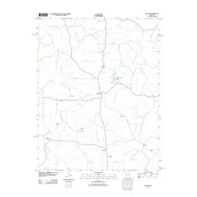 2011 Seaton2011 Print · USGSThe rural landscapes of Phelps County are detailed here in the early twenty-first century, showing the enduring structure of its hill country settlements. Genealogists and local historians can trace family roots at Asher Cemetery or Bell Cemetery and locate vanished footprints in Seaton and Winkler.
 - 2011 Map of Courtois, 2011 Print
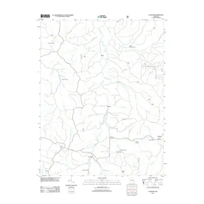 2011 Courtois2011 Print · USGSThe Missouri Ozarks are revealed here in the early twenty-first century, showing a landscape defined by winding creek valleys and dispersed rural communities. Genealogists can locate family landmarks like Jinkerson Cemetery, Antioch Cemetery, and the settlement of Ishmael.
 - 2011 Map of Davisville, 2011 Print
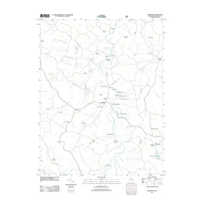 2011 Davisville2011 Print · USGSCrawford County's rural heartland is shown here in the early 21st century, centered on the settlement of Davisville. Genealogists can trace family heritage through numerous remote burial sites like Woodlock Cemetery, Skaggs Cemetery, and Eaton Cemetery.
 - 2011 Map of Berryman, 2011 Print
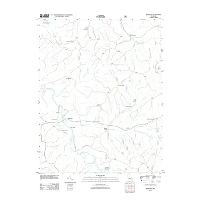 2011 Berryman2011 Print · USGSBerryman and its timbered hollows are captured here at the start of the 2010s, showcasing a landscape defined by forest recreation and family history. Researchers can trace ancestral sites at Dobkins Cemetery and Whitby-Ellis Cemetery or locate industrial markers like Davis Sawmill.
 - 2011 Map of Indian Springs, 2011 Print
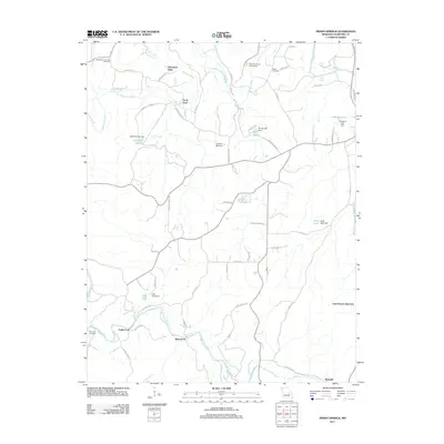 2011 Indian Springs2011 Print · USGSCrawford County's river-dependent landscape is preserved here during the early twenty-first century, centered on the winding Meramec River. Researchers can trace the locations of several river crossings and rural landmarks like Scott Ford, Hibler Cemetery, and Keysville.
 - 2011 Map of Huzzah, 2011 Print
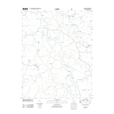 2011 Huzzah2011 Print · USGSCrawford County, Missouri, is shown here in the early 2000s, centered on the winding valleys of Huzzah Creek and Courtois Creek. Researchers can locate numerous family burial sites like Dodkin Cemetery and landmark outposts including Fishermans Dude Ranch and Service.
 - 2011 Map of Viburnum West, 2011 Print
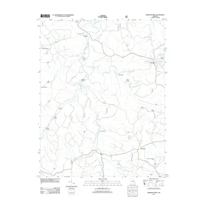 2011 Viburnum West2011 Print · USGSThe northern edge of the Missouri lead belt is captured here in the early twenty-first century, centered on the mining town of Viburnum. Researchers can trace local lineage through several rural burial grounds like Richards Cemetery and explore industrial sites such as the Moloc Smelter.
 - 2011 Map of Steelville, 2011 Print
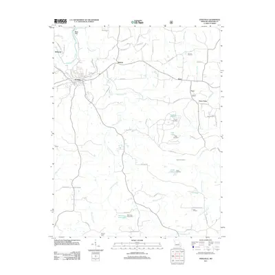 2011 Steelville2011 Print · USGSSteelville and the Meramec River valley are captured here in the early 2000s as the regional landscape balanced historic rural roots with new development. Genealogists can locate family sites at Moultray Cemetery and Cherry Valley Cemetery or trace landmarks like the Keysville Lookout Tower.
 - 2011 Map of Viburnum East, 2011 Print
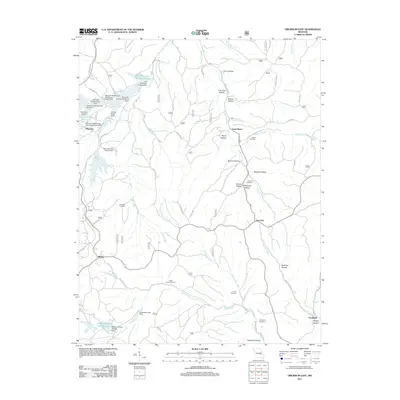 2011 Viburnum East2011 Print · USGSThe Missouri lead belt is revealed in this early twenty-first-century survey, showcasing a landscape shaped by mining and rural settlement. Genealogists and historians can trace family locations through Abbott Cemetery, Turner Cemetery, and the small community of Bixby.
 - 2012 Map of Maramec Spring, 2012 Print
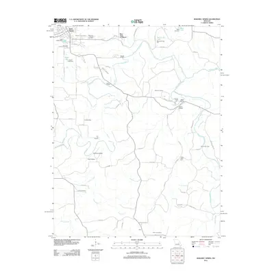 2012 Maramec Spring2012 Print · USGSSoutheast of Saint James in the early twenty-first century, this area of the Ozarks shows a deep connection to its water and industrial roots. Researchers can trace the grounds of the Old Iron Furnace near Maramec Spring or locate rural family burials at Pine Hill Cemetery.
 - 2012 Map of Cherryville, 2012 Print
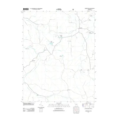 2012 Cherryville2012 Print · USGSCrawford County at the start of the 2010s shows a landscape of deep hollows and family-named landmarks. Genealogists and local historians can locate several rural burial grounds like Wilkinson Cemetery and the site of the Earney Mill.
 - 2012 Map of Cook Station, 2012 Print
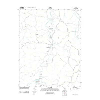 2012 Cook Station2012 Print · USGSThe Meramec River valley comes to life in this recent study of Crawford County, showing a network of small settlements and family cemeteries. Researchers can locate Goltra Ford, trace ancestral roots at Wesco Cemetery, or explore the terrain around Lost Mountain.
 - 2012 Map of Howes Mill Spring, 2012 Print
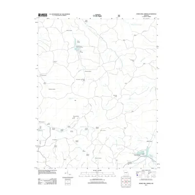 2012 Howes Mill Spring2012 Print · USGSThe wooded hollows and headwaters of Dent County come into focus in the early 21st century near the settlement of Ark. Genealogists can locate family landmarks like Mounce Cemetery, while conservationists can trace the waters of Howes Mill Spring and Indian Trail State Forest Lake.
 - 2012 Map of Redbird, 2012 Print
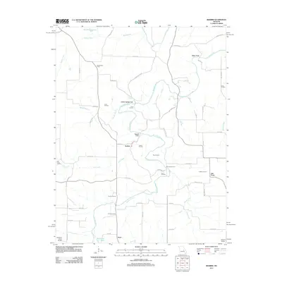 2012 Redbird2012 Print · USGSThe Bourbeuse River valley in the early 2000s remains defined by its historic river crossings and scattered rural settlements. Family historians can locate numerous small burial sites like Scantlin Cemetery and Collier Cemetery or trace old river fords including Glaser Ford.
 - 2012 Map of Leasburg, 2012 Print
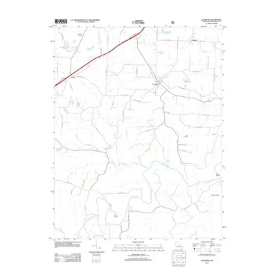 2012 Leasburg2012 Print · USGSCrawford County's rural character is on full display in the early 2010s as the Meramec River winds through the southern valleys. Genealogists and local historians can locate several family burial grounds, including McNickle Cemetery and Haack Cemetery, alongside small communities like Leasburg and Hofflins.
 - 2012 Map of Argo, 2012 Print
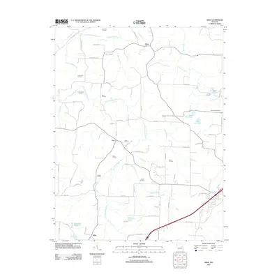 2012 Argo2012 Print · USGSCrawford County's rural character is preserved in this study of the communities around Japan and Argo during the early 2010s. Genealogists can locate numerous burial sites, from the Old Japan Cemetery to Crow Cemetery, along the banks of the Little Bourbeuse River.
 - 2012 Map of Rosati, 2012 Print
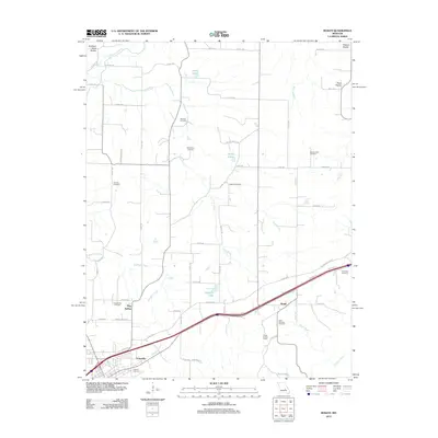 2012 Rosati2012 Print · USGSThe Missouri Ozarks transition from the Northern Border to the Eastern high country in the early twenty-first century. Genealogists can trace several local burial grounds including Dawson Cemetery and Saint Anthony Cemetery, or locate the Rosati Lookout Tower.
 - 2012 Map of Cuba, 2012 Print
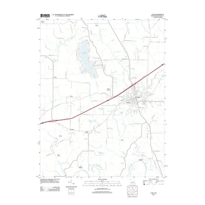 2012 Cuba2012 Print · USGSCrawford County's Ozark plateau transitions from bustling transportation hubs to quiet river bends in the early 21st century. Researchers can trace historic family burial sites like Kinder Cemetery or locate old community centers at Iron Center and Fanning.
 - 2012 Map of Oak Hill, 2012 Print
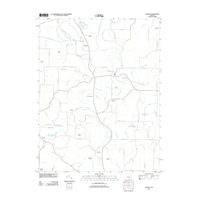 2012 Oak Hill2012 Print · USGSCrawford County's rural character and family heritage are preserved here in the early twenty-first century. Genealogists and local historians can trace the locations of numerous family burial grounds such as Aunt Pop Cemetery and Pinnell Cemetery along the Bourbeuse River corridor.
 - 2012 Map of Onondaga Cave, 2012 Print
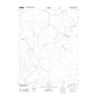 2012 Onondaga Cave2012 Print · USGSCrawford County at the start of the 2010s shows a landscape of deep river valleys and small river-crossing settlements. Researchers can trace family history through sites like the Cedar Grove School, Hardy Cemetery, and crossings such as Harrison Ford.
 - 2012 Map of Anthonies Mill, 2012 Print
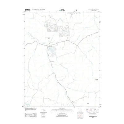 2012 Anthonies Mill2012 Print · USGSThe Anthonies Mill area in the early twenty-first century shows a landscape of modern residential clusters set against traditional Ozark hollows. Genealogists can locate several historic burial sites like Swan Cemetery and Anthonie's Mill Cemetery along the banks of Brazil Creek.
 - 2012 Map of Sullivan, 2012 Print
 2012 Sullivan2012 Print · USGSSullivan and Bourbon appear in the early twenty-first century along a corridor defined by the Meramec River and rugged hollows. Genealogists and local historians can trace family sites at Hill Cemetery, Rock Cemetery, and the landing strip at Sullivan Memorial Airport.
 - 2012 Map of Meramec State Park, 2012 Print
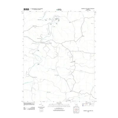 2012 Meramec State Park2012 Print · USGSThe Meramec River valley in the early twenty-first century reveals a landscape shaped by conservation and old river crossings. Genealogists and local historians can trace family sites near Pea Ridge Cemetery, the Reedville School, and former industrial sites like the Old Hamilton Works.
 - 2015 Map of Cuba, 2015 Print
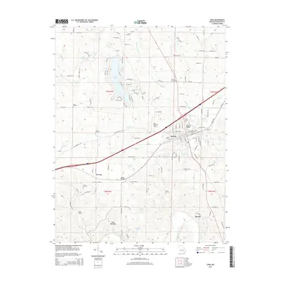 2015 Cuba2015 Print · USGSThe Crawford County landscape around Cuba is captured here during a period of modern growth and recreation. Genealogists and local historians can trace family roots through several burial sites like Zenser Cemetery or follow the BNSF Railway past Fanning and Amanda.
 - 2015 Map of Onondaga Cave, 2015 Print
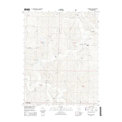 2015 Onondaga Cave2015 Print · USGSCrawford County at the river forks shows a landscape defined by the winding Meramec River and Huzzah Creek. Trace family history and local landmarks near Harrison Mills, Onondaga Cave, and the Harrison Cemetery.
Showing maps 1-25 of 93
Top cities of Crawford County
- Cuba historical maps
- Steelville historical maps
- Bourbon historical maps
- Leasburg historical maps
- West Sullivan historical maps
Frequently asked questions
- What are the different types of historical maps available for Crawford County?
- What is the oldest map of Crawford County?
- Where can I purchase historical maps of Crawford County for my home or office?
- Where can I download high-res historical maps of Crawford County?
- Are there historical topographic maps available for Crawford County?
- Is there historical aerial imagery available for Crawford County?
- Where are historical maps of Crawford County sourced from?