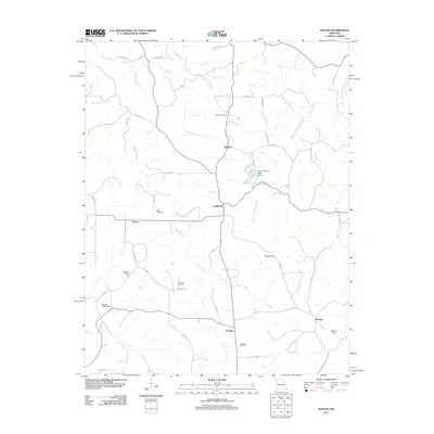
2011 Map of Seaton
USGS Topo · Published 2011About this map
The Clinton area of Phelps County is defined by a network of rural settlements and winding waterways including Norman Creek and the West Fork Benton Creek. Small communities like Seaton, Winkler, Condray, and Bangert are connected by a web of county roads, such as Seaton Rd and the historical Plank Rd. The landscape is dotted with several family and community burial grounds, including Asher Cemetery, Bell Cemetery, Morrison Cemetery, and Freeman Cemetery, which provide significant points of interest for genealogical research in this part of Missouri. Prominent terrain features such as Blue Knob and Wards Hill overlook the valleys, while water management is evident at Seven Springs Lake and the Ryder Lake Dam. The presence of these named landmarks alongside the Dry Fork and Benton Creek drainage systems illustrates the enduring rural character and agricultural structure of the region.
Find a feature on this map
52 named features on this map. Tap any name to fly to it.
Don’t see what you’re looking for? This feature index may not catch every label — zoom into the map to look around manually.
Map Details
Editions of this 2011 Seaton Map
This is the sole edition of this map. No revisions or reprints were ever made.
Other maps of this area

1928 · Meramec Spring
USGS Topo · 1:62,500

1932 · Steelville
USGS Topo · 1:48,000

1933 · Steelville
USGS Topo · 1:62,500

1937 · Steelville
USGS Topo · 1:62,500

1941 · Salem
USGS Topo · 1:62,500

1941 · Stone Hill
USGS Topo · 1:62,500

1945 · Salem
USGS Topo · 1:62,500

1945 · Stone Hill
USGS Topo · 1:62,500

1949 · Rolla
USGS Topo · 1:250,000

1949 · Meramec Spring
USGS Topo · 1:62,500