2010s Maps of Greene County, Missouri
Explore 63 historic maps of Greene County from the 2010s. These maps offer a rare glimpse into what life looked like during the 2010s — showing old roads, neighborhoods, homes, and landmarks that have changed or disappeared over time.
Whether you're researching your family's past, planning a metal detecting trip, or studying how Greene County's landscape evolved across the 2010s, these high-resolution maps are a powerful tool for exploring the history of this region.
- Focus on a specific era: All maps on this page are from the 2010s, giving you a focused view of this time period.
- See what’s changed: Compare century-old streets, trails, and buildings to today's modern landscape using overlays and satellite layers.
- Research with precision: Use these maps for genealogy, historical research, land use analysis, or educational projects.
- View, download, or print: Maps are fully viewable online in high resolution, and can be downloaded or printed for your own records.
Start exploring Greene County's history through authentic maps from the 2010s. This is your window into the past.
Greene County, MO maps
(63)- 2011 Map of Morrisville, 2011 Print
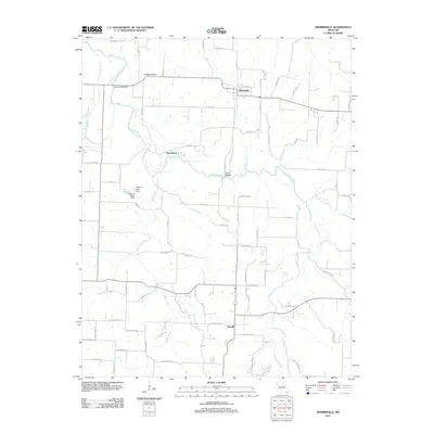 2011 Morrisville2011 Print · USGSPolk County life is centered around the Morrisville and Sacville communities in this 2011 survey. Researchers can trace the winding Little Sac River to find local landmarks like Hamilton Bridge, Grisham Knob, and the West Bend crossing.
 - 2011 Map of Strafford, 2011 Print
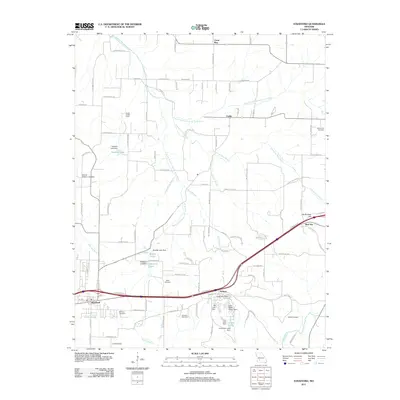 2011 Strafford2011 Print · USGSGreene County is shown at a moment of modern growth and rural preservation in the early twenty-first century. Family history researchers can trace local roots at Mullinax Cemetery and Welch Cemetery, while identifying landmarks like Happy Hollow Camp.
 - 2011 Map of Oak Grove Heights, 2011 Print
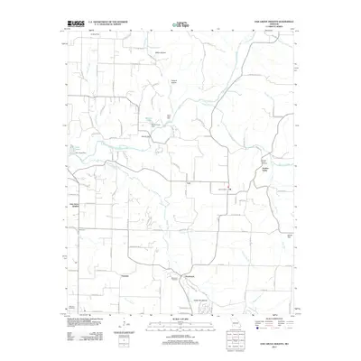 2011 Oak Grove Heights2011 Print · USGSEastern Greene County is documented here during a period of modern growth and rural preservation. Genealogists and local historians can locate the All Post Office, the Wilkerson Cemetery, and tracing the path of the James River past Panther Valley.
 - 2011 Map of Billings, 2011 Print
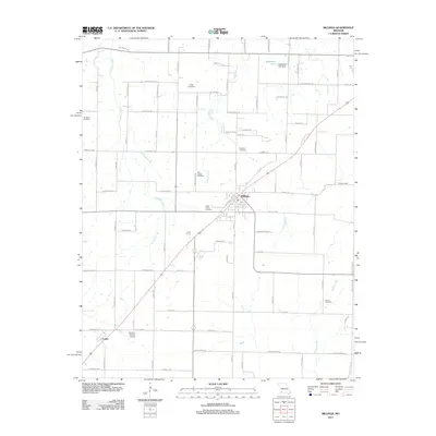 2011 Billings2011 Print · USGSThe Missouri countryside around Billings is documented here during a period of modern agricultural stability. Genealogists and historians can trace family roots through numerous local sites including Laney Cemetery, Saint Peters Cemetery, and the community of Logan.
 - 2011 Map of Nixa, 2011 Print
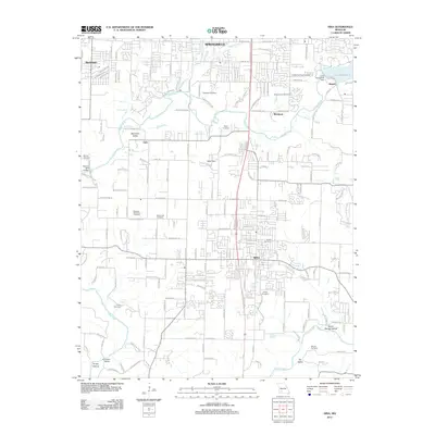 2011 Nixa2011 Print · USGSThe James River corridor south of Springfield is captured here at a moment of significant suburban expansion. Genealogists and historians can locate numerous family burial grounds like James Cemetery or Payne Cemetery, and trace old landmarks such as Nelson Mill Bridge.
 - 2011 Map of Everton, 2011 Print
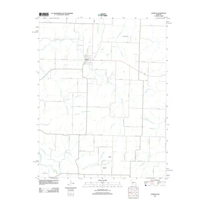 2011 Everton2011 Print · USGSThe rural landscape of Everton and its surrounding Dade County farmstead network are captured here in the early 2010s. Genealogists and local historians can locate the Hopewell School, the East Limekiln, and family burial grounds like Richardson Cemetery.
 - 2011 Map of Halltown NE, 2011 Print
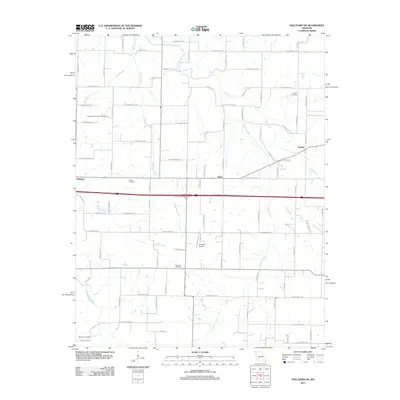 2011 Halltown NE2011 Print · USGSThe Sac River valley and the rural communities of Yeakley and Plano are captured here in the early twenty-first century. Researchers can trace family history through local landmarks like Squib Cemetery, Garoutte Cemetery, and the Methodist Conference Grounds.
 - 2011 Map of Brookline, 2011 Print
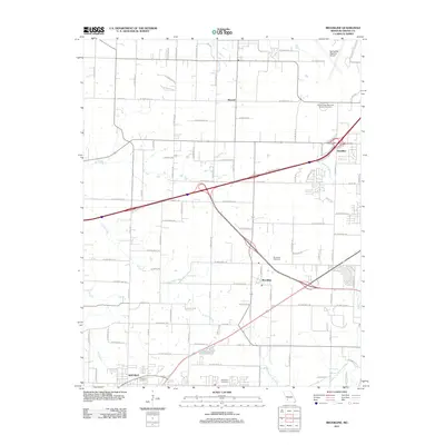 2011 Brookline2011 Print · USGSThe rural-to-suburban transition of Greene County is captured here in the early 21st century. Genealogists can trace family landmarks like Evergreen Cemetery and Harrington Cemetery or the original rail and road layouts at Brookline and Elwood.
 - 2011 Map of Pleasant Hope, 2011 Print
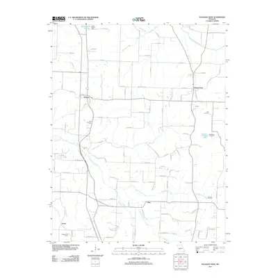 2011 Pleasant Hope2011 Print · USGSSouthern Polk County in the early 2010s reveals a rural landscape defined by the North Dry Sac River and the Pomme de Terre River. Genealogists and local historians can locate New Hope Cemetery, the community of Alsup, and the Hogue Farm Airport.
 - 2011 Map of Ebenezer, 2011 Print
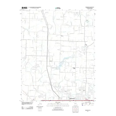 2011 Ebenezer2011 Print · USGSSpringfield and its northern Greene County environs are captured here in the early twenty-first century as suburban growth meets rural crossroads. Genealogists and local historians can trace family sites near Ebenezer, Brick Church Cemetery, and the Little Sac River.
 - 2011 Map of Ash Grove, 2011 Print
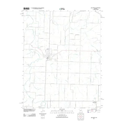 2011 Ash Grove2011 Print · USGSAsh Grove and its Greene County surroundings are captured in this modern survey of the Missouri Ozark Plateau. Researchers can trace land ownership patterns near Hamilton Cemetery or locate natural landmarks like Sand Mountain and Leeper Spring.
 - 2011 Map of Republic, 2011 Print
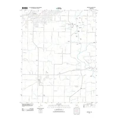 2011 Republic2011 Print · USGSMissouri's Civil War history and rural heritage are preserved here in the early twenty-first century. Genealogists and historians can locate family cemeteries like Lindsey Cemetery and significant battlefield markers including Bloody Hill and the Ray House.
 - 2011 Map of Bassville, 2011 Print
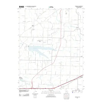 2011 Bassville2011 Print · USGSGreene County is shown here during a period of sustained growth north of Springfield, where new infrastructure meets long-standing rural communities. Researchers can trace the layout of early settlements like Bassville and Hickory Barren alongside Fellows Lake and the Dishman Cemetery.
 - 2011 Map of Walnut Grove, 2011 Print
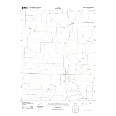 2011 Walnut Grove2011 Print · USGSWalnut Grove and the Greene County countryside are captured in the early 2010s, showing a landscape of agriculture and dispersed settlements. Researchers can locate family burial sites at Green Lawn and King Cemetery, or trace the path of Turkey Creek.
 - 2011 Map of Willard, 2011 Print
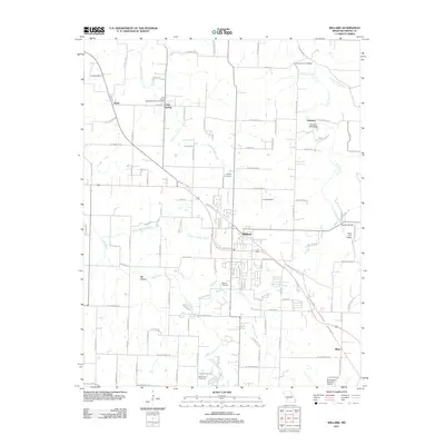 2011 Willard2011 Print · USGSThe growing community of Willard and its rural Greene County surroundings are captured here just after the turn of the millennium. Researchers can trace local heritage through landmarks like Hackney Mill Bridge, Murray Cemetery, and the historic site of Pearl.
 - 2011 Map of Rogersville, 2011 Print
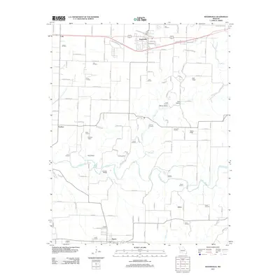 2011 Rogersville2011 Print · USGSThe northern edge of Christian County comes into focus in the early 21st century, centered on the growing communities of Rogersville and Sparta. Researchers can trace dozens of family burial sites including Casebolt Cemetery and Tallman Cemetery, or locate landmarks like Hindman Airport and Ollie Lasley Spring.
 - 2011 Map of Springfield, 2011 Print
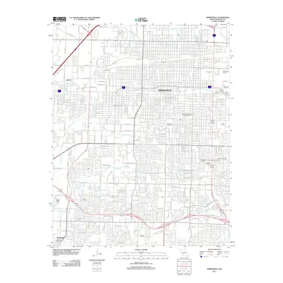 2011 Springfield2011 Print · USGSSpringfield at the start of the 2010s shows a thriving regional hub centered on its historic downtown and university campus. Researchers can trace local heritage through numerous sites like Payne Cemetery, the Downtown Airport, and Chadwick Junction.
 - 2011 Map of Ozark, 2011 Print
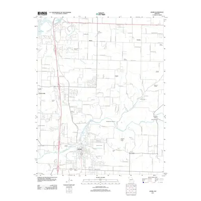 2011 Ozark2011 Print · USGSOzark and the surrounding Christian County countryside are shown here during a period of modern growth and suburban expansion. Genealogists can trace family heritage through a dense network of burial sites like Gibson-Porter Cemetery and Weaver Cemetery along the Finley Creek valley.
 - 2011 Map of Fair Grove, 2011 Print
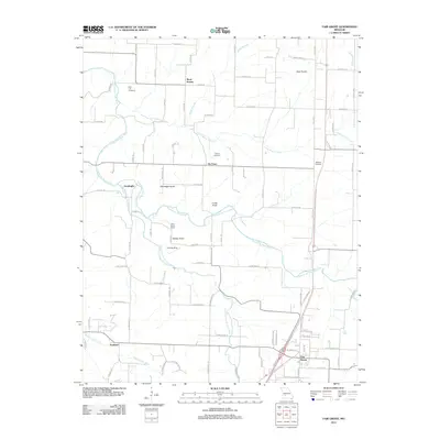 2011 Fair Grove2011 Print · USGSFair Grove and the surrounding Greene County countryside are documented here at the start of the 2010s. Genealogists and local historians can locate Union Grove School, several rural burial grounds like Mallard Cemetery, and small communities including Tin Town.
 - 2011 Map of Elkland, 2011 Print
 2011 Elkland2011 Print · USGSElkland and its Dallas County neighbors appear here in the early twenty-first century, showing a landscape of Ozark foothills and rural farmsteads. Trace family history at Old Pleasant View Cemetery or locate the headwaters of the Pomme de Terre River near Mutton Hollow.
 - 2011 Map of Galloway, 2011 Print
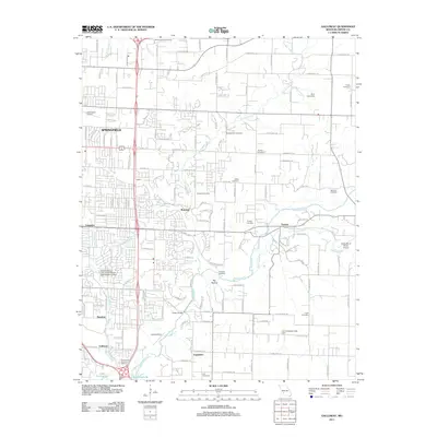 2011 Galloway2011 Print · USGSSpringfield and its eastern suburbs are captured here during a period of modern growth in Greene County. Genealogists and local historians can locate numerous burial sites like Webb Cemetery and McCraw Cemetery along the James River corridor.
 - 2015 Map of Morrisville, 2015 Print
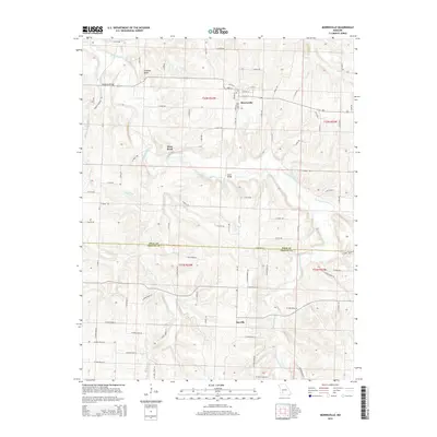 2015 Morrisville2015 Print · USGSMorrisville and the surrounding farm country are captured here in the mid-2010s. Researchers can trace rural lineages across the Polk Co line, locating property near Grisham Knob, the banks of the Little Sac River, or the settlement at Sacville.
 - 2015 Map of Billings, 2015 Print
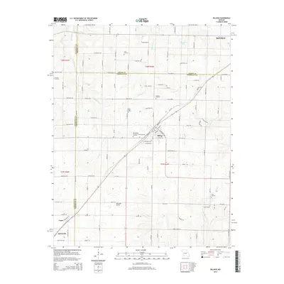 2015 Billings2015 Print · USGSThe rolling hills of southwest Missouri appear in detail at a time when the BNSF Railway still connects the rural communities of Billings and Logan. Genealogists can trace family roots through several well-documented sites like Brashers Cemetery and Laney Cemetery.
 - 2015 Map of Elkland, 2015 Print
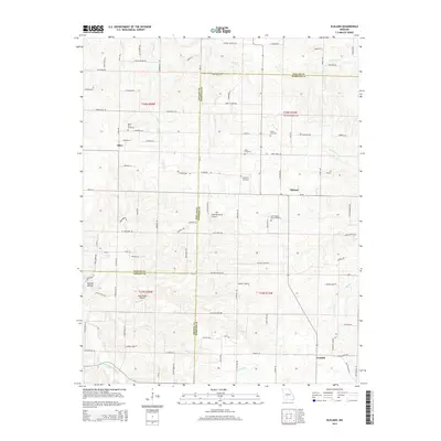 2015 Elkland2015 Print · USGSThe rural borderlands of Dallas, Webster, and Greene counties are detailed here during the early twenty-first century. Family history researchers can locate numerous burial grounds like Old Pleasant View Cemetery and trace landmarks near Olive or the Pomme de Terre River.
 - 2015 Map of Bassville, 2015 Print
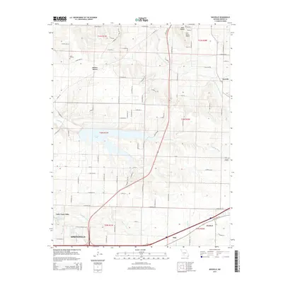 2015 Bassville2015 Print · USGSGreene County at the mid-2010s shows the suburban expansion of the Springfield fringe into established rural townships. Researchers can trace family roots at Salem Cemetery or locate old community hubs like Fair Grove and the namesake Bassville.
Showing maps 1-25 of 63
Top cities of Greene County
- Springfield historical maps
- Republic historical maps
- Willard historical maps
- Battlefield historical maps
- Strafford historical maps
- Ash Grove historical maps
See more
Frequently asked questions
- What are the different types of historical maps available for Greene County?
- What is the oldest map of Greene County?
- Where can I purchase historical maps of Greene County for my home or office?
- Where can I download high-res historical maps of Greene County?
- Are there historical topographic maps available for Greene County?
- Is there historical aerial imagery available for Greene County?
- Where are historical maps of Greene County sourced from?