2020s Maps of Greene County, Missouri
Explore 21 historic maps of Greene County from the 2020s. These maps offer a rare glimpse into what life looked like during the 2020s — showing old roads, neighborhoods, homes, and landmarks that have changed or disappeared over time.
Whether you're researching your family's past, planning a metal detecting trip, or studying how Greene County's landscape evolved across the 2020s, these high-resolution maps are a powerful tool for exploring the history of this region.
- Focus on a specific era: All maps on this page are from the 2020s, giving you a focused view of this time period.
- See what’s changed: Compare century-old streets, trails, and buildings to today's modern landscape using overlays and satellite layers.
- Research with precision: Use these maps for genealogy, historical research, land use analysis, or educational projects.
- View, download, or print: Maps are fully viewable online in high resolution, and can be downloaded or printed for your own records.
Start exploring Greene County's history through authentic maps from the 2020s. This is your window into the past.
Greene County, MO maps
(21)- 2021 Map of Elkland, 2021 Print
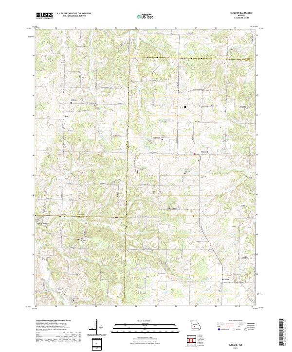 2021 Elkland2021 Print · USGSElkland and its surrounding farmsteads are captured in the early 2020s at the intersection of Webster, Dallas, and Greene counties. Researchers can locate many family-named landmarks and rural burial sites including Davis Cem, Cedar Bluff Cem, and the Eads Ridge Airport.
 - 2021 Map of Republic, 2021 Print
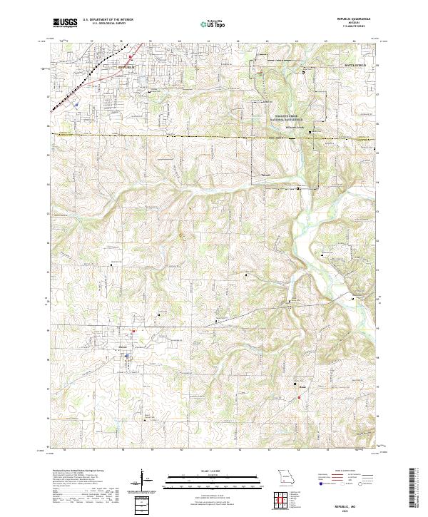 2021 Republic2021 Print · USGSSouthwest of Springfield in the early twenty-first century, this area balances modern growth with deep Civil War history. Researchers can trace family plots at Wise Hill Cem or explore the preserved grounds of Wilson's Creek National Battlefield.
 - 2021 Map of Fair Grove, 2021 Print
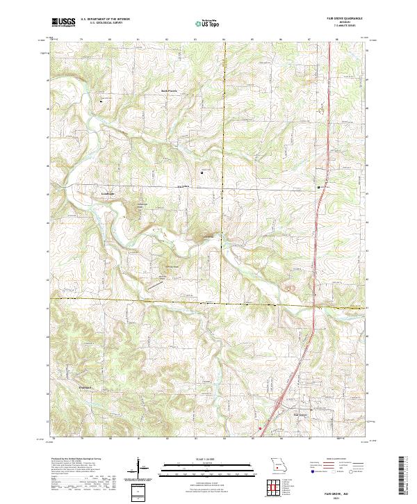 2021 Fair Grove2021 Print · USGSThe Missouri Ozarks fringe comes into focus in this recent survey of Greene, Polk, and Dallas Counties. Trace family roots and local history across rural nodes like Tin Town, Goodnight, and Rock Prairie or the hills of Goodnight Knob.
 - 2021 Map of Galloway, 2021 Print
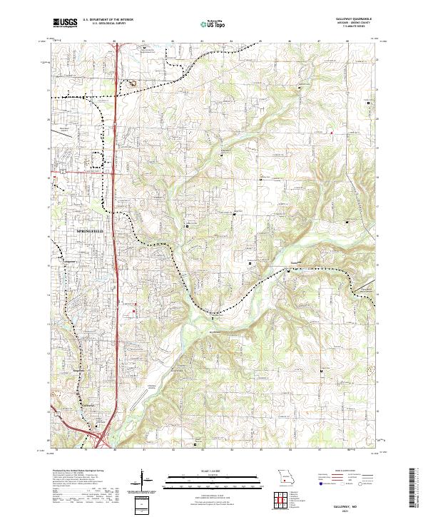 2021 Galloway2021 Print · USGSEastern Greene County at the start of the 2020s shows the continued integration of historic rural settlements into the expanding Springfield metro area. Researchers can locate numerous family burial sites like Danforth Cemetery and landmarks such as Kinser Bridge along the James River.
 - 2021 Map of Willard, 2021 Print
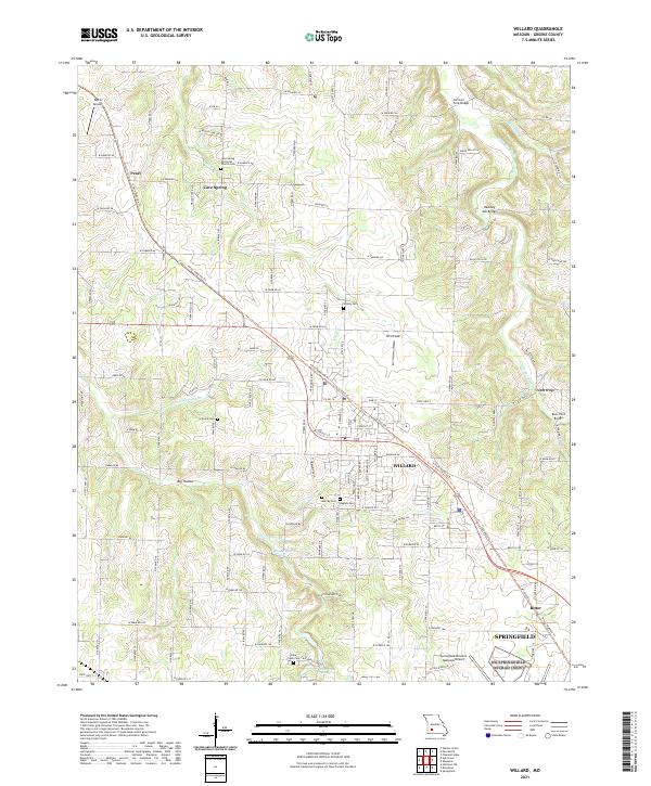 2021 Willard2021 Print · USGSWillard and the surrounding Greene County countryside are captured here as the Springfield suburbs meet rural farmland. Researchers can trace historic river crossings like Hackney Mill Bridge and Knox Ford Bridge, or locate family sites at Murray Cem and Wesley Cem.
 - 2021 Map of Pleasant Hope, 2021 Print
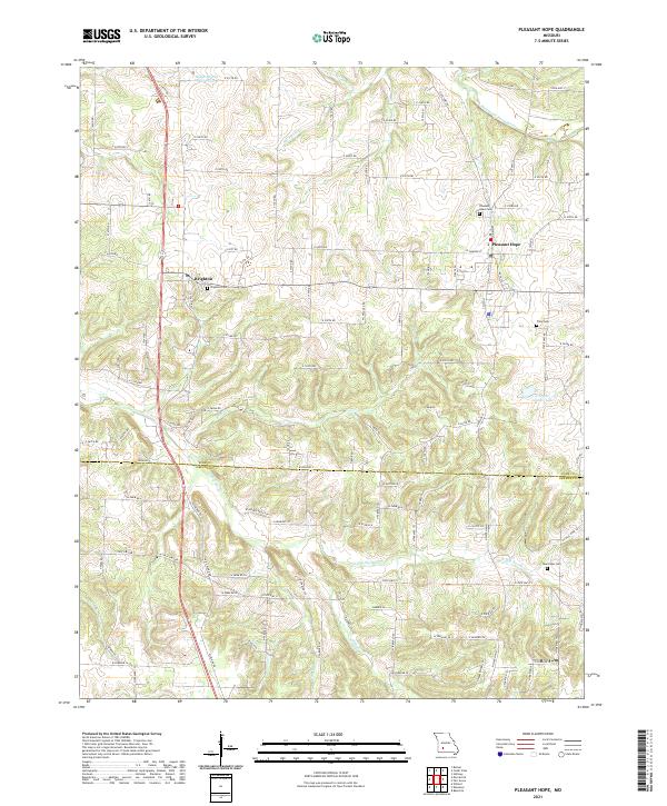 2021 Pleasant Hope2021 Print · USGSPleasant Hope and Brighton mark the rural transition from Greene to Polk County in the early 2020s. Genealogists and local historians can trace family ties at Pleasant Hope Cem and Brighton Cem or follow the waters of the Pomme de Terre River.
 - 2021 Map of Billings, 2021 Print
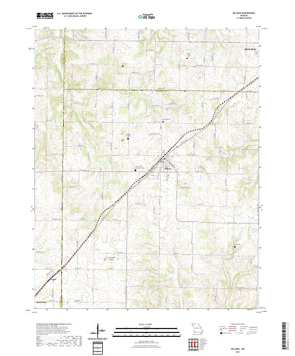 2021 Billings2021 Print · USGSThe rural landscapes of Christian, Greene, and Lawrence counties come together here during a period of steady growth. Genealogists can trace family connections through numerous local burial sites including Blades Chapel Cem, Laney Cem, and Saint Joseph's Cem.
 - 2021 Map of Ozark, 2021 Print
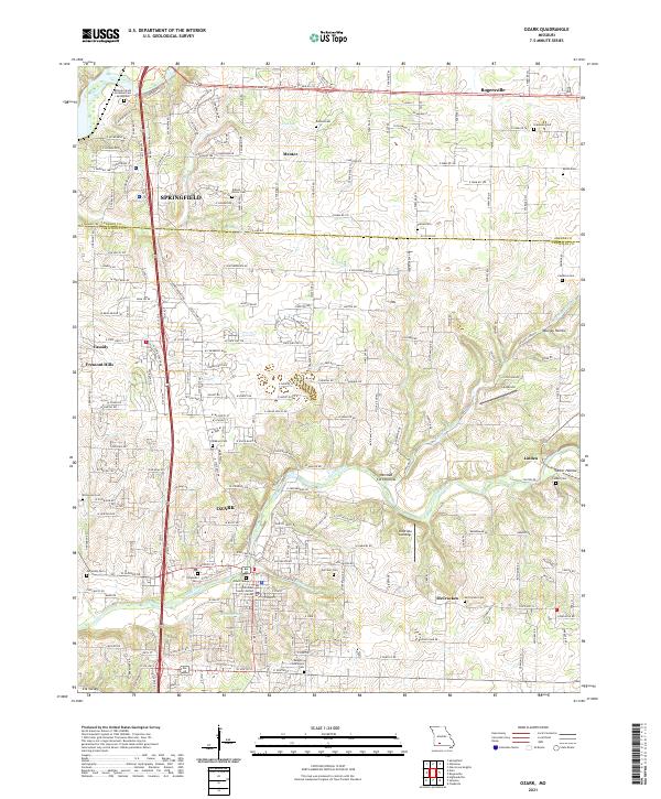 2021 Ozark2021 Print · USGSOzark and the rural fringes of Springfield are captured in this 2021 survey during a period of steady residential growth. Genealogists can locate several historic burial sites like Vaught-Oddfellow Cem and Weaver Cem or trace the winding waters of Finley Creek.
 - 2021 Map of Brookline, 2021 Print
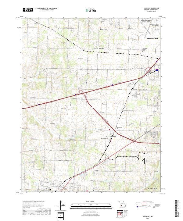 2021 Brookline2021 Print · USGSGreene County communities southwest of Springfield are captured here during a period of rapid suburban and industrial expansion. Researchers can locate family landmarks such as Brookline Cemetery and Harrington Cemetery or trace the early paths of the Sac River and Dailey Spring.
 - 2021 Map of Everton, 2021 Print
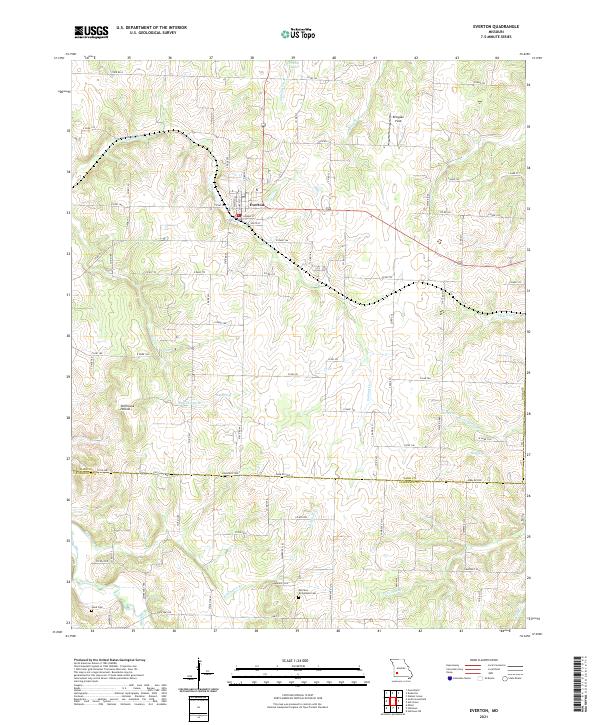 2021 Everton2021 Print · USGSEverton and the surrounding farmsteads of Dade County are documented here in the early twenty-first century. Genealogists can trace family heritage at Morrison - Richardson Cem and Hood Cem or locate the rural Ellingsen Field.
 - 2021 Map of Rogersville, 2021 Print
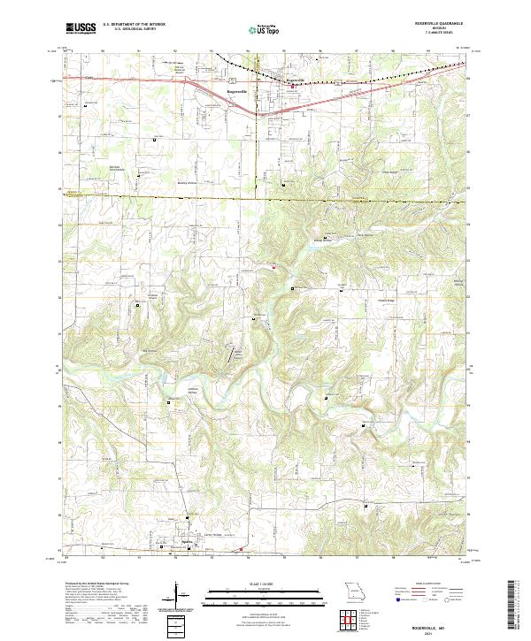 2021 Rogersville2021 Print · USGSThis Greene and Christian County borderland near the Ozarks shows a landscape of deep hollows and ridgelines at the start of the 2020s. Genealogists and local historians can trace numerous rural burial sites including Holland Cem, Spilliens Cem, and Farmer Cem.
 - 2021 Map of Strafford, 2021 Print
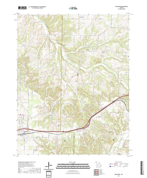 2021 Strafford2021 Print · USGSNear the Greene and Webster county line in the early 2020s, this area maintains its rural character along the upper Pomme de Terre River. Genealogists can locate several family burial sites including Willis Cem, Epworth Cem, and the Bumgarner - Keiser Cem.
 - 2021 Map of Halltown NE, 2021 Print
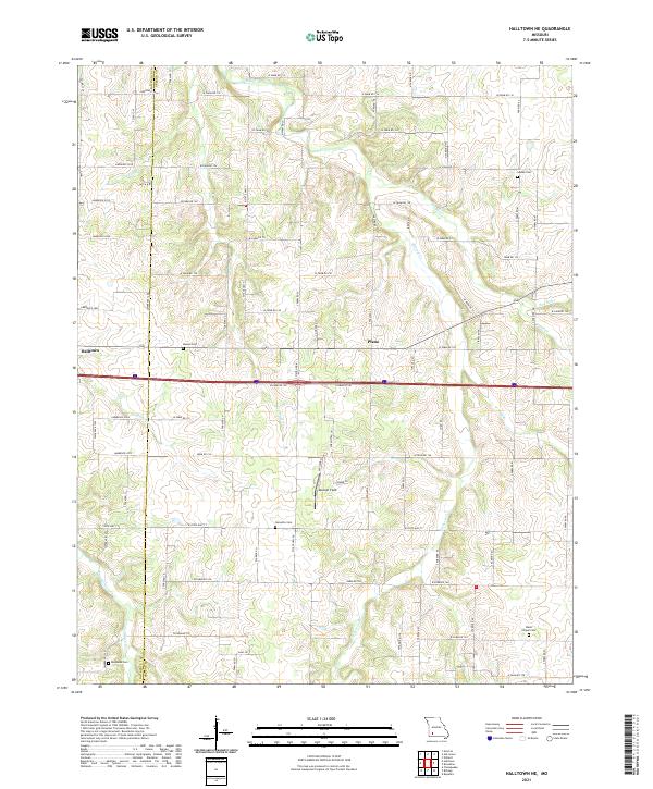 2021 Halltown NE2021 Print · USGSGreene County and the neighboring Lawrence County line are shown here in the early 2020s, dominated by a network of creek valleys and family farms. Local historians can locate small family cemeteries like Garoutte Cem and Squibb Cem or trace the winding course of the Sac River.
 - 2021 Map of Ash Grove, 2021 Print
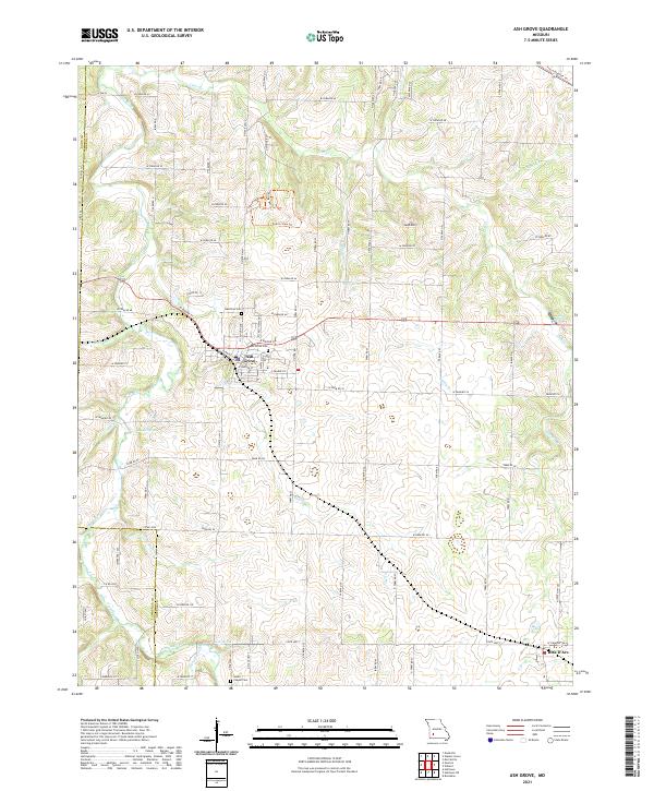 2021 Ash Grove2021 Print · USGSGreene County and the town of Ash Grove are shown here in the modern era, where traditional farm life meets recreational trail systems. Genealogists and local historians can locate several rural burying grounds including Johns Chapel Cem and Hamilton Cem, or trace the path of the Frisco Highline Trl.
 - 2021 Map of Nixa, 2021 Print
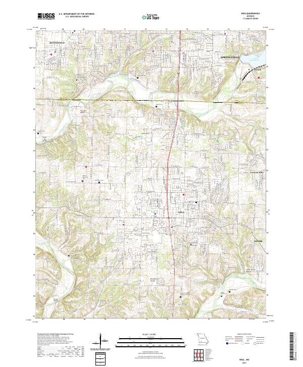 2021 Nixa2021 Print · USGSMissouri's Christian and Greene counties are seen here as residential growth expands between the river valleys during the early twenty-first century. Researchers can trace local heritage through numerous burial sites and landmarks like McLean Cem, Frazier Bridge, and Nelson Mill Bridge.
 - 2021 Map of Springfield, 2021 Print
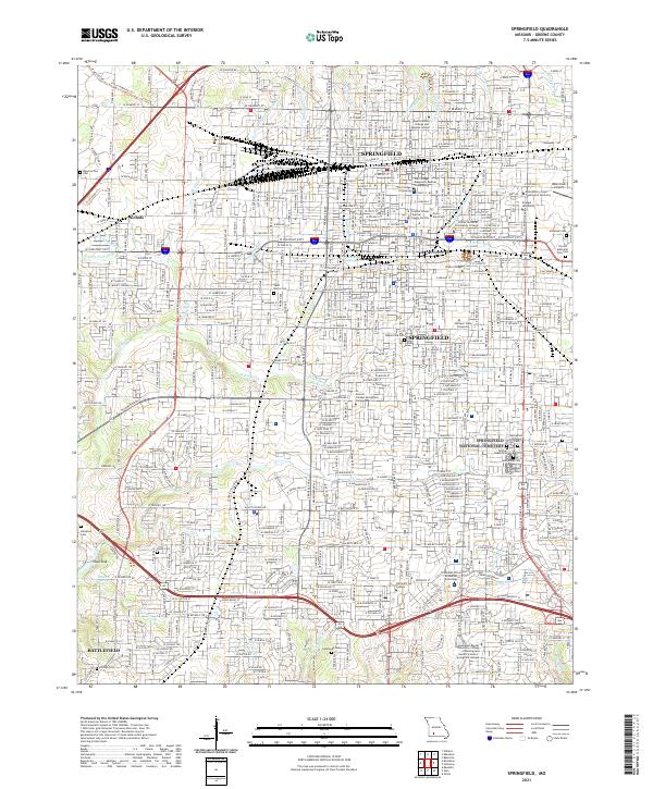 2021 Springfield2021 Print · USGSSpringfield and its southwestern suburbs are shown in 2021 as a major hub of industry, education, and historical preservation. Researchers can locate family sites and landmarks like Springfield National Cemetery, Nichols, and Payne Cemetery.
 - 2021 Map of Oak Grove Heights, 2021 Print
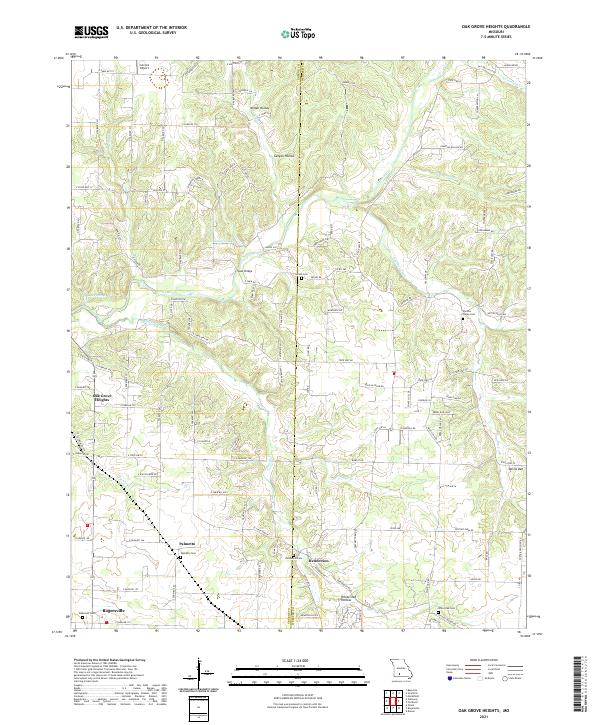 2021 Oak Grove Heights2021 Print · USGSThis rural Missouri landscape at the Greene and Webster county line shows the area during a period of modern residential growth. Genealogists can trace local roots through numerous burial sites like Panther Valley Cem and Wilkerson Cem near Palmetto.
 - 2021 Map of Walnut Grove, 2021 Print
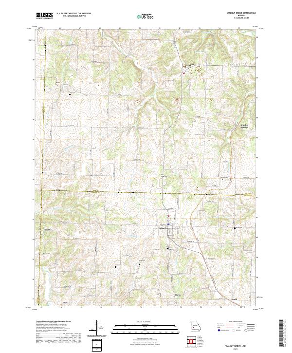 2021 Walnut Grove2021 Print · USGSThis southwestern Missouri corner where three counties converge shows the rural landscape as it appeared in the early 2020s. Researchers can trace the path of the Frisco Highline Trail through Phenix or locate family sites at Green Lawn Cemetery and Turkey Creek Cemetery.
 - 2021 Map of Bassville, 2021 Print
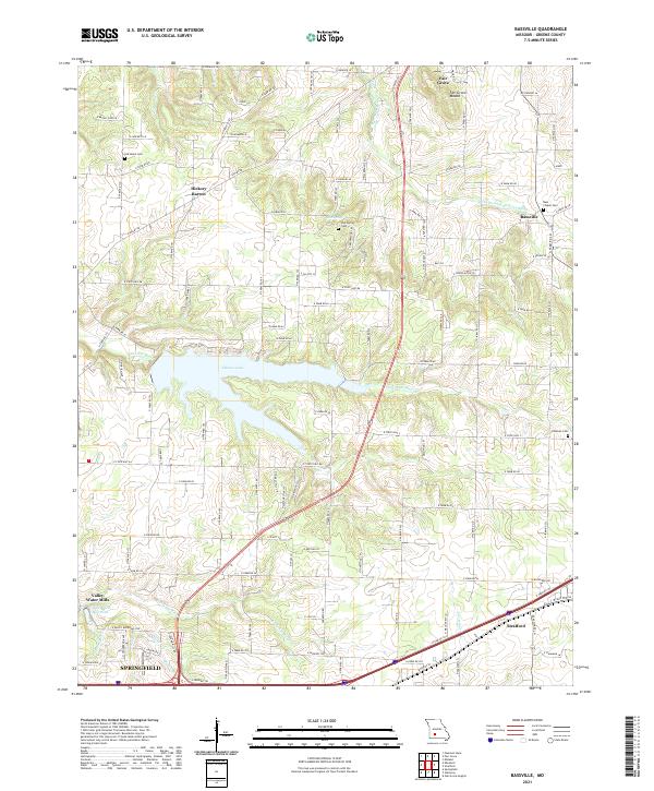 2021 Bassville2021 Print · USGSGreene County north of Springfield shows a mix of suburban growth and traditional rural crossroads in the early 2020s. Researchers can trace historical footprints at Old Salem Cem, Hickory Barren, and the waters of Fellows Lake.
 - 2021 Map of Morrisville, 2021 Print
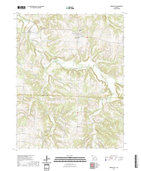 2021 Morrisville2021 Print · USGSPolk and Greene Counties are captured here in the early 2020s, showing the enduring rural character of the Missouri Ozarks. Researchers can trace local landmarks like Morrisville Cem, the path of the Frisco Highline Trl, and historic crossings at Hamilton Bridge.
 - 2021 Map of Ebenezer, 2021 Print
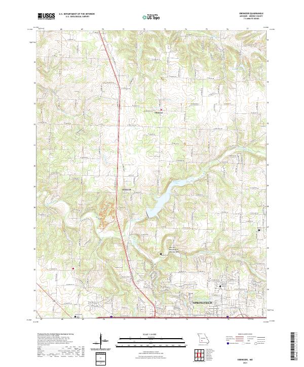 2021 Ebenezer2021 Print · USGSNorthern Greene County in the 2020s shows the suburban expansion of Springfield toward historic Ebenezer. Researchers can trace rural cemeteries like Antioch Cem and geologic landmarks like Natural Arch and Dry Sac Arch.
End of results
Showing maps 1-21 of 21
Top cities of Greene County
- Springfield historical maps
- Republic historical maps
- Willard historical maps
- Battlefield historical maps
- Strafford historical maps
- Ash Grove historical maps
See more
Frequently asked questions
- What are the different types of historical maps available for Greene County?
- What is the oldest map of Greene County?
- Where can I purchase historical maps of Greene County for my home or office?
- Where can I download high-res historical maps of Greene County?
- Are there historical topographic maps available for Greene County?
- Is there historical aerial imagery available for Greene County?
- Where are historical maps of Greene County sourced from?