2000s (21st Century) Maps of Knox County, Missouri
Explore 64 historic maps of Knox County from the 2000s (21st Century). These maps offer a rare glimpse into what life looked like during the 2000s — showing old roads, neighborhoods, homes, and landmarks that have changed or disappeared over time.
Whether you're researching your family's past, planning a metal detecting trip, or studying how Knox County's landscape evolved across the 2000s, these high-resolution maps are a powerful tool for exploring the history of this region.
- Focus on a specific era: All maps on this page are from the 2000s, giving you a focused view of this time period.
- See what’s changed: Compare century-old streets, trails, and buildings to today's modern landscape using overlays and satellite layers.
- Research with precision: Use these maps for genealogy, historical research, land use analysis, or educational projects.
- View, download, or print: Maps are fully viewable online in high resolution, and can be downloaded or printed for your own records.
Start exploring Knox County's history through authentic maps from the 2000s. This is your window into the past.
Knox County, MO maps
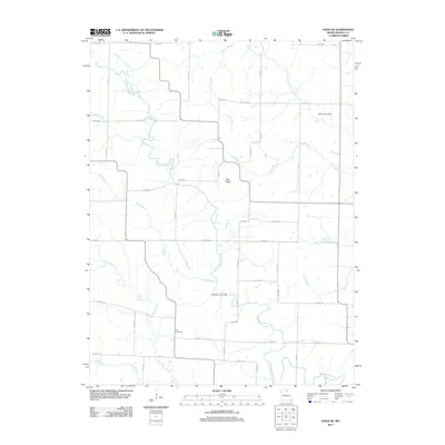
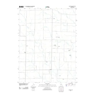
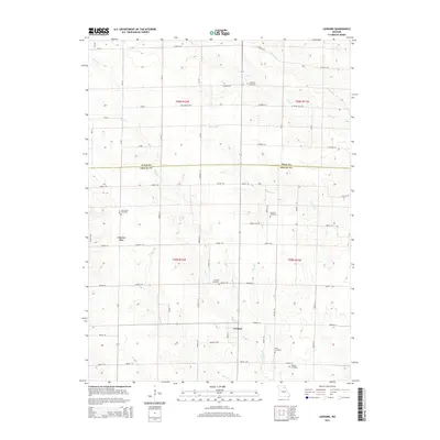
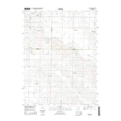
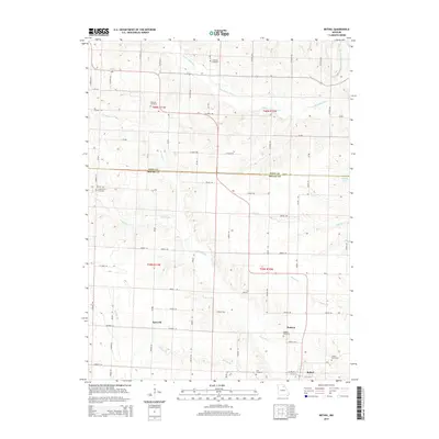
(64)- 2012 Map of Novelty, 2012 Print
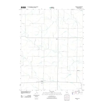 2012 Novelty2012 Print · USGSCovers Knox County, including Novelty, Hedge City, and other nearby areas
 - 2012 Map of Hurdland, 2012 Print
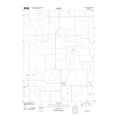 2012 Hurdland2012 Print · USGSCovers Knox County, including Brashear, Hurdland, and other nearby areas
 - 2012 Map of Greensburg, 2012 Print
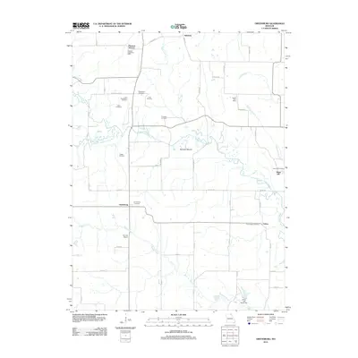 2012 Greensburg2012 Print · USGSCovers Knox County, including Pleasant Retreat, Sand Hill, and other nearby areas
 - 2012 Map of Bible Grove, 2012 Print
 2012 Bible Grove2012 Print · USGSCovers Knox County, including Bible Grove, Adair County, and other nearby areas
 - 2012 Map of Edina SE, 2012 Print
 2012 Edina SE2012 Print · USGSCovers Knox County, including United States, Missouri, and other nearby areas
 - 2012 Map of Rutledge, 2012 Print
 2012 Rutledge2012 Print · USGSCovers Knox County, including Rutledge, South Gorin, and other nearby areas
 - 2012 Map of Locust Hill, 2012 Print
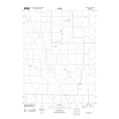 2012 Locust Hill2012 Print · USGSCovers Knox County, including Locust Hill, Adair County, and other nearby areas
 - 2012 Map of Edina, 2012 Print
 2012 Edina2012 Print · USGSCovers Knox County, including Edina, Baring, and other nearby areas
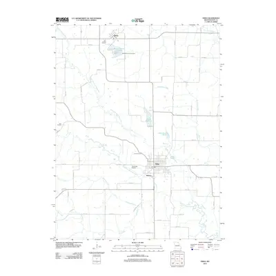
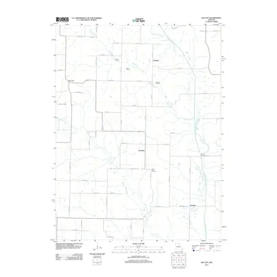
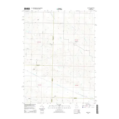
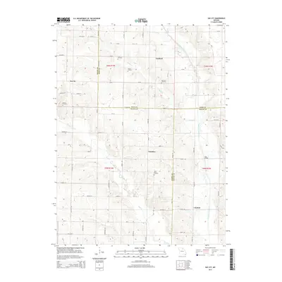
 - 2012 Map of Knox City, 2012 Print
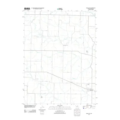 2012 Knox City2012 Print · USGSCovers Knox County, including Knox City, United States, and other nearby areas
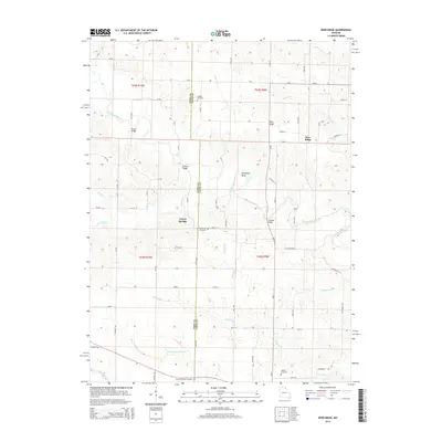
 - 2012 Map of Deer Ridge, 2012 Print
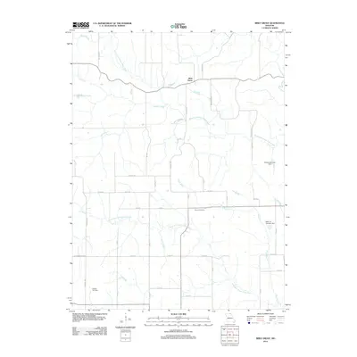
 2012 Deer Ridge2012 Print · USGSCovers Knox County, including Deer Ridge, Forest Springs, and other nearby areas
 - 2012 Map of Colony, 2012 Print
 2012 Colony2012 Print · USGSCovers Knox County, including Colony, Fairmont, and other nearby areas
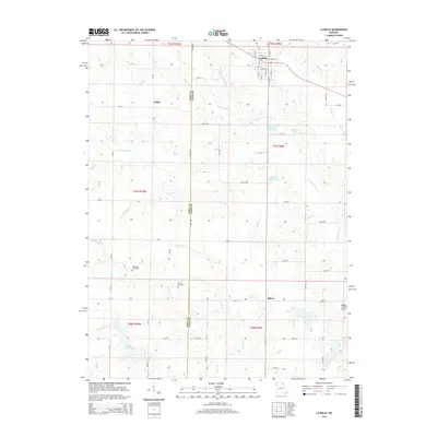
 - 2012 Map of La Belle, 2012 Print
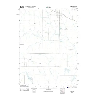 2012 La Belle2012 Print · USGSCovers Knox County, including La Belle, Salem, and other nearby areas
 - 2012 Map of Leonard, 2012 Print
 2012 Leonard2012 Print · USGSCovers Knox County, including Leonard, Cherry Box, and other nearby areas
 - 2012 Map of Sue City, 2012 Print
 2012 Sue City2012 Print · USGSCovers Knox County, including Lakeland, Goodland, and other nearby areas
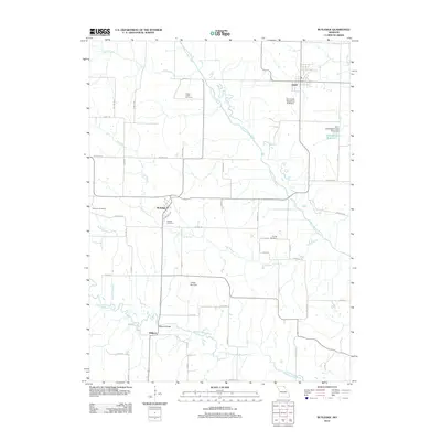
 - 2012 Map of Bethel, 2012 Print
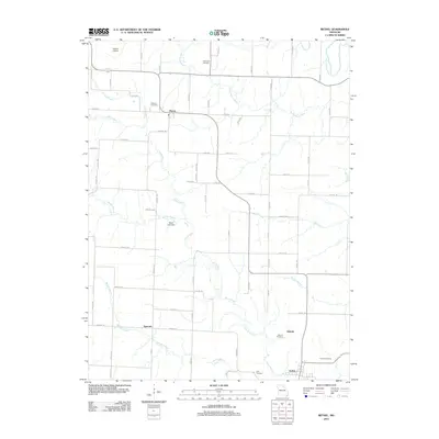 2012 Bethel2012 Print · USGSCovers Knox County, including Bethel, Hebron, and other nearby areas
 - 2012 Map of Newark, 2012 Print
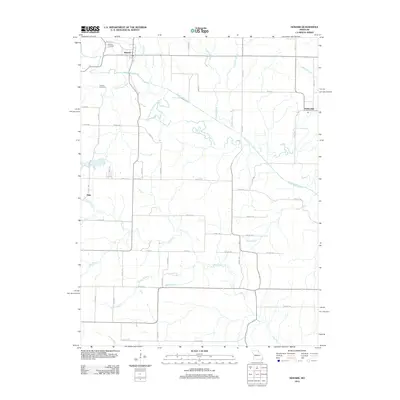 2012 Newark2012 Print · USGSCovers Knox County, including Newark, Elgin, and other nearby areas
 - 2014 Map of Leonard, 2014 Print
 2014 Leonard2014 Print · USGSCovers Knox County, including Leonard, Cherry Box, and other nearby areas
 - 2014 Map of La Belle, 2014 Print
 2014 La Belle2014 Print · USGSCovers Knox County, including La Belle, Salem, and other nearby areas
 - 2014 Map of Newark, 2014 Print
 2014 Newark2014 Print · USGSCovers Knox County, including Newark, Elgin, and other nearby areas
 - 2014 Map of Colony, 2014 Print
 2014 Colony2014 Print · USGSCovers Knox County, including Colony, Fairmont, and other nearby areas
 - 2014 Map of Deer Ridge, 2014 Print
 2014 Deer Ridge2014 Print · USGSCovers Knox County, including Deer Ridge, Forest Springs, and other nearby areas
 - 2014 Map of Sue City, 2014 Print
 2014 Sue City2014 Print · USGSCovers Knox County, including Lakeland, Goodland, and other nearby areas
 - 2014 Map of Bethel, 2014 Print
 2014 Bethel2014 Print · USGSCovers Knox County, including Bethel, Hebron, and other nearby areas
 - 2015 Map of Greensburg, 2015 Print
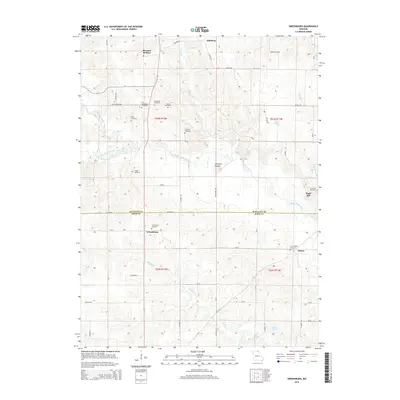 2015 Greensburg2015 Print · USGSCovers Knox County, including Pleasant Retreat, Sand Hill, and other nearby areas
 - 2015 Map of Knox City, 2015 Print
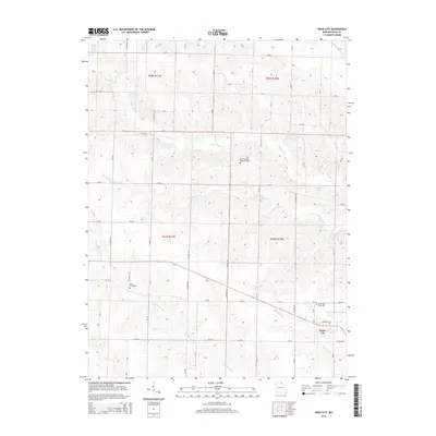 2015 Knox City2015 Print · USGSCovers Knox County, including Knox City, United States, and other nearby areas
Showing maps 1-25 of 64
Top cities of Knox County
- Edina historical maps
- Hurdland historical maps
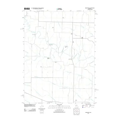
- Knox City historical maps
- Baring historical maps
- Novelty historical maps
- Newark historical maps
Frequently asked questions
- What are the different types of historical maps available for Knox County?
- What is the oldest map of Knox County?
- Where can I purchase historical maps of Knox County for my home or office?
- Where can I download high-res historical maps of Knox County?
- Are there historical topographic maps available for Knox County?
- Is there historical aerial imagery available for Knox County?
- Where are historical maps of Knox County sourced from?