2010s Maps of Lawrence County, Missouri
Explore 60 historic maps of Lawrence County from the 2010s. These maps offer a rare glimpse into what life looked like during the 2010s — showing old roads, neighborhoods, homes, and landmarks that have changed or disappeared over time.
Whether you're researching your family's past, planning a metal detecting trip, or studying how Lawrence County's landscape evolved across the 2010s, these high-resolution maps are a powerful tool for exploring the history of this region.
- Focus on a specific era: All maps on this page are from the 2010s, giving you a focused view of this time period.
- See what’s changed: Compare century-old streets, trails, and buildings to today's modern landscape using overlays and satellite layers.
- Research with precision: Use these maps for genealogy, historical research, land use analysis, or educational projects.
- View, download, or print: Maps are fully viewable online in high resolution, and can be downloaded or printed for your own records.
Start exploring Lawrence County's history through authentic maps from the 2010s. This is your window into the past.
Lawrence County, MO maps
(60)- 2011 Map of Kings Point, 2011 Print
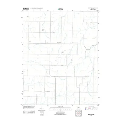 2011 Kings Point2011 Print · USGSThe rural agricultural landscape of Dade County comes into focus here during the early twenty-first century. Researchers can trace the layout of small settlements like Meinert and Round Grove and follow the paths of Horse Creek and Coon Creek.
 - 2011 Map of Rescue, 2011 Print
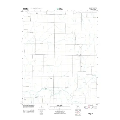 2011 Rescue2011 Print · USGSLawrence County agricultural life is captured here in the early twenty-first century as rural homesteads remain anchored by their local creeks. Genealogists can locate family sites like Grays Point Cemetery, Wilson Cemetery, and the community at Phelps.
 - 2011 Map of Mount Vernon, 2011 Print
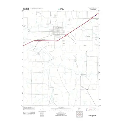 2011 Mount Vernon2011 Print · USGSMount Vernon and the surrounding Missouri farmland are captured here in the early twenty-first century as the Interstate 44 corridor reshaped the local landscape. Genealogists and historians can trace long-established family ties at Spanish Fort Cemetery, Roberts Cemetery, and the rural community of Hoberg.
 - 2011 Map of South Greenfield, 2011 Print
 2011 South Greenfield2011 Print · USGSMissouri's rural Dade County is mapped here in the early twenty-first century, showing a landscape of family farms and creek-side settlements. Local historians can trace family ties through Dilday Mill, Antioch Bridge, and numerous burial sites like Friend Cemetery and Bishop Cemetery.
 - 2011 Map of Billings, 2011 Print
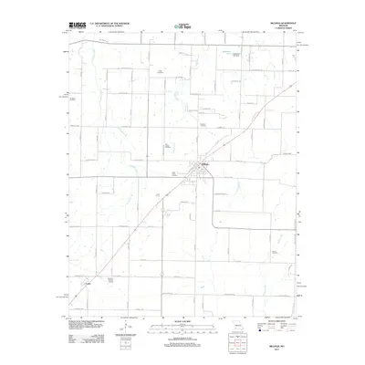 2011 Billings2011 Print · USGSThe Missouri countryside around Billings is documented here during a period of modern agricultural stability. Genealogists and historians can trace family roots through numerous local sites including Laney Cemetery, Saint Peters Cemetery, and the community of Logan.
 - 2011 Map of Everton, 2011 Print
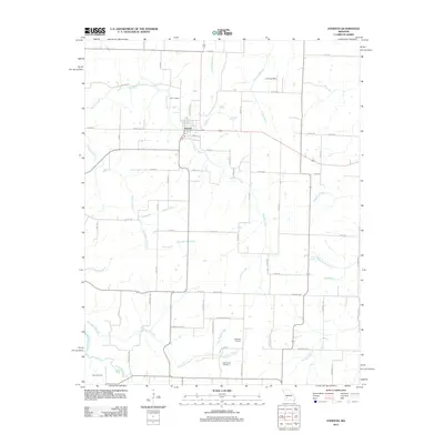 2011 Everton2011 Print · USGSThe rural landscape of Everton and its surrounding Dade County farmstead network are captured here in the early 2010s. Genealogists and local historians can locate the Hopewell School, the East Limekiln, and family burial grounds like Richardson Cemetery.
 - 2011 Map of Halltown NE, 2011 Print
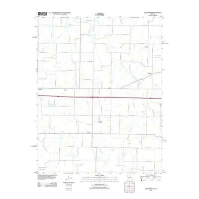 2011 Halltown NE2011 Print · USGSThe Sac River valley and the rural communities of Yeakley and Plano are captured here in the early twenty-first century. Researchers can trace family history through local landmarks like Squib Cemetery, Garoutte Cemetery, and the Methodist Conference Grounds.
 - 2011 Map of Miller, 2011 Print
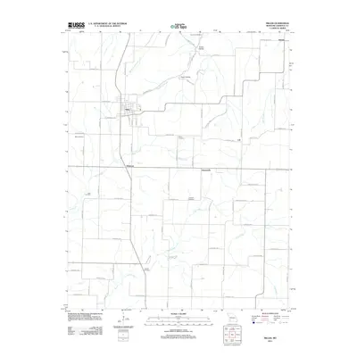 2011 Miller2011 Print · USGSLawrence County farming communities thrive at the start of the 2010s, centered on the local hub of Miller. Researchers can locate several family and community burial grounds, such as Webb Cemetery and Hickman Cemetery, alongside settlements like Albatross.
 - 2011 Map of Halltown, 2011 Print
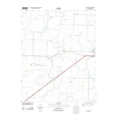 2011 Halltown2011 Print · USGSHalltown and the rural Lawrence County landscape are captured here in the early twenty-first century. Genealogists can locate several family burial grounds, including Rock Prairie Cemetery and Pritchett Cemetery, alongside the Hall Post Office and the hamlet of Paris Springs.
 - 2011 Map of Ash Grove, 2011 Print
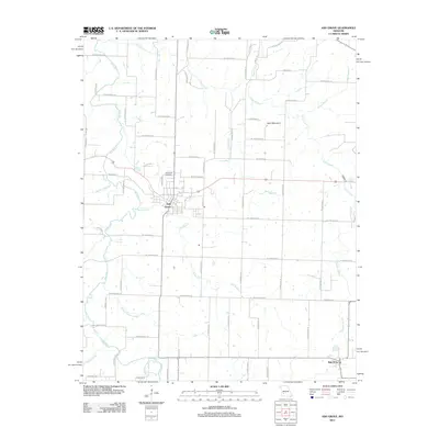 2011 Ash Grove2011 Print · USGSAsh Grove and its Greene County surroundings are captured in this modern survey of the Missouri Ozark Plateau. Researchers can trace land ownership patterns near Hamilton Cemetery or locate natural landmarks like Sand Mountain and Leeper Spring.
 - 2011 Map of Stotts City, 2011 Print
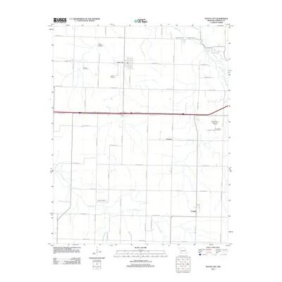 2011 Stotts City2011 Print · USGSLawrence County at the start of the 2010s reveals a structured landscape of established farmsteads and agricultural research sites. Genealogists and local historians can trace family locations near Stotts City and several remote burial sites like Patton Cemetery and Shelton Cemetery.
 - 2011 Map of La Russell, 2011 Print
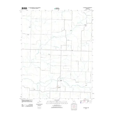 2011 La Russell2011 Print · USGSJasper and Lawrence Counties are shown here during the early 2010s, revealing a landscape of small hamlets and family farmsteads. Researchers can locate numerous historic burial grounds like Stemons Cemetery and old settlements such as Bowers Mill and Red Oak.
 - 2011 Map of Dudenville, 2011 Print
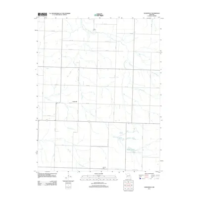 2011 Dudenville2011 Print · USGSDudenville and the surrounding Missouri countryside are captured in the early twenty-first century as agricultural life follows the local creek beds. Genealogists and local historians can locate Kistler Cemetery, Leaming Field, and the rural settlement of Dudenville.
 - 2011 Map of Sarcoxie, 2011 Print
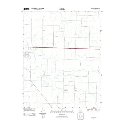 2011 Sarcoxie2011 Print · USGSSarcoxie and the surrounding Jasper County countryside are mapped here in the early twenty-first century, showcasing a landscape defined by its springs and rural burial grounds. Researchers can locate Cave Spring Cemetery, Talmage City, and the winding waters of Center Creek.
 - 2011 Map of Chesapeake, 2011 Print
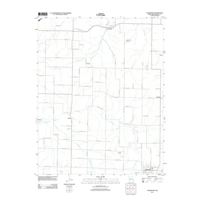 2011 Chesapeake2011 Print · USGSLawrence County at the start of the 2010s reveals a landscape of quiet crossroads and historic farmsteads. Researchers can trace ancestral roots through several burial grounds like Campground Cemetery and Butler Cemetery or locate the Lick Prairie Community Hall.
 - 2012 Map of Aurora, 2012 Print
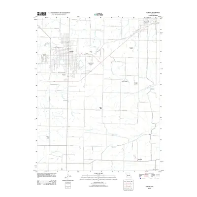 2012 Aurora2012 Print · USGSLawrence County at the start of the 2010s shows a landscape of established townships and persistent rural school districts. Genealogists and historians can locate community landmarks like Lone Star School, Buck Prairie Cemetery, and the Sunset Drive-In near Aurora.
 - 2012 Map of Monett, 2012 Print
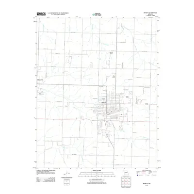 2012 Monett2012 Print · USGSThe borderlands of Lawrence and Barry County come into focus in the early 2010s, centered on the growing grid of Monett. Genealogists and local historians can trace burial sites like Carlin Cemetery and Cox Cemetery or locate regional aviation landmarks such as Monett Airport.
 - 2012 Map of Crane, 2012 Print
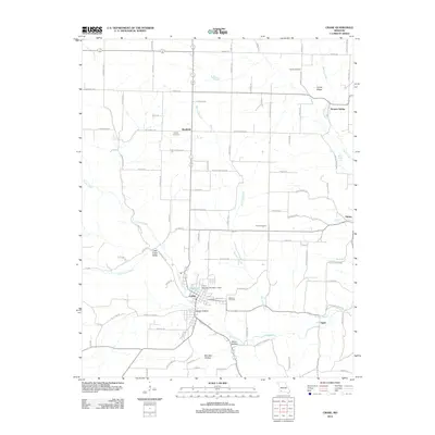 2012 Crane2012 Print · USGSMarionville and the Crane Creek valley come into focus during the early twenty-first century as the local landscape balances small-town centers with rural agriculture. Researchers can trace historic routes like Old Wire Rd and find family sites near Masonic Cemetery or the community of Bradfield.
 - 2012 Map of Verona, 2012 Print
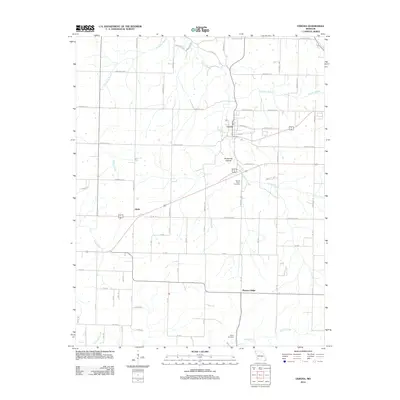 2012 Verona2012 Print · USGSLawrence County, Missouri, at the start of the twenty-first century shows a landscape of river-valley settlements and well-established rural networks. Researchers can trace local heritage through sites like Verona, Spring River Cemetery, and the quiet crossroads at Globe.
 - 2012 Map of Pierce City, 2012 Print
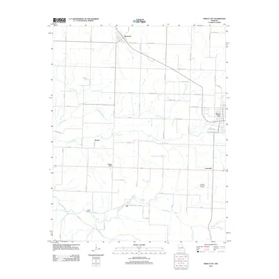 2012 Pierce City2012 Print · USGSPierce City and its surrounding rural townships are shown here in the early twenty-first century as a well-established network of farm roads and spring-fed creeks. Researchers can trace family history at Wright Cemetery or locate the historic hamlets of Berwick, Jolly, and Wentworth.
 - 2015 Map of Dudenville, 2015 Print
 2015 Dudenville2015 Print · USGSDudenville sits at the intersection of four Missouri counties in the mid-2010s, capturing a traditional agricultural landscape defined by its section-line roads. Researchers can locate Kistler Cemetery, the settlement of Maple Grove, and local water features like Poirot Farms Lake.
 - 2015 Map of Sarcoxie, 2015 Print
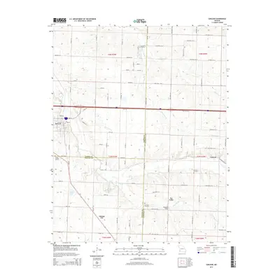 2015 Sarcoxie2015 Print · USGSSarcoxie and the surrounding prairies at the intersection of Jasper, Newton, and Lawrence counties are mapped here in the mid-2010s. Researchers can trace rural lineages through local landmarks like Talmage City, Bleuins Lake, and Schooling Cemetery.
 - 2015 Map of Stotts City, 2015 Print
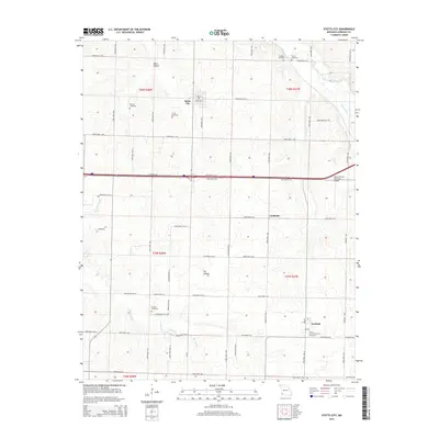 2015 Stotts City2015 Print · USGSLawrence County at the start of the 2010s shows a landscape deeply rooted in its pioneer cemeteries and agricultural grid. Genealogists can trace family footprints at Stotts Cemetery, Boucher Cemetery, and the Trinity Lutheran Church Cemetery near Freistatt.
 - 2015 Map of Billings, 2015 Print
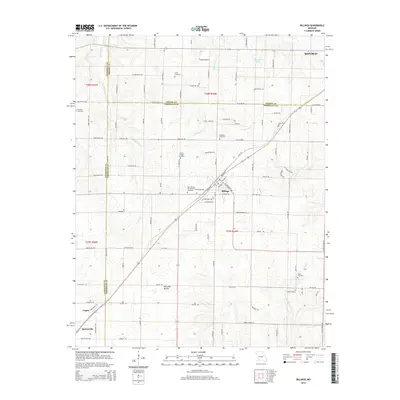 2015 Billings2015 Print · USGSThe rolling hills of southwest Missouri appear in detail at a time when the BNSF Railway still connects the rural communities of Billings and Logan. Genealogists can trace family roots through several well-documented sites like Brashers Cemetery and Laney Cemetery.
 - 2015 Map of Rescue, 2015 Print
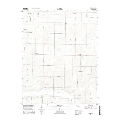 2015 Rescue2015 Print · USGSThe Lawrence County countryside around Rescue and Phelps is captured here in the early twenty-first century. Researchers can trace local lineage through a dozen family and community burial sites, including Grays Point Cemetery and Cole Cemetery.
Showing maps 1-25 of 60
Top cities of Lawrence County
- Aurora historical maps
- Mount Vernon historical maps
- Marionville historical maps
- Pierce City historical maps
- Verona historical maps
- Miller historical maps
See more
Frequently asked questions
- What are the different types of historical maps available for Lawrence County?
- What is the oldest map of Lawrence County?
- Where can I purchase historical maps of Lawrence County for my home or office?
- Where can I download high-res historical maps of Lawrence County?
- Are there historical topographic maps available for Lawrence County?
- Is there historical aerial imagery available for Lawrence County?
- Where are historical maps of Lawrence County sourced from?