2020s Maps of Linn County, Missouri
Explore 20 historic maps of Linn County from the 2020s. These maps offer a rare glimpse into what life looked like during the 2020s — showing old roads, neighborhoods, homes, and landmarks that have changed or disappeared over time.
Whether you're researching your family's past, planning a metal detecting trip, or studying how Linn County's landscape evolved across the 2020s, these high-resolution maps are a powerful tool for exploring the history of this region.
- Focus on a specific era: All maps on this page are from the 2020s, giving you a focused view of this time period.
- See what’s changed: Compare century-old streets, trails, and buildings to today's modern landscape using overlays and satellite layers.
- Research with precision: Use these maps for genealogy, historical research, land use analysis, or educational projects.
- View, download, or print: Maps are fully viewable online in high resolution, and can be downloaded or printed for your own records.
Start exploring Linn County's history through authentic maps from the 2020s. This is your window into the past.
Linn County, MO maps
(20)- 2021 Map of Lindley, 2021 Print
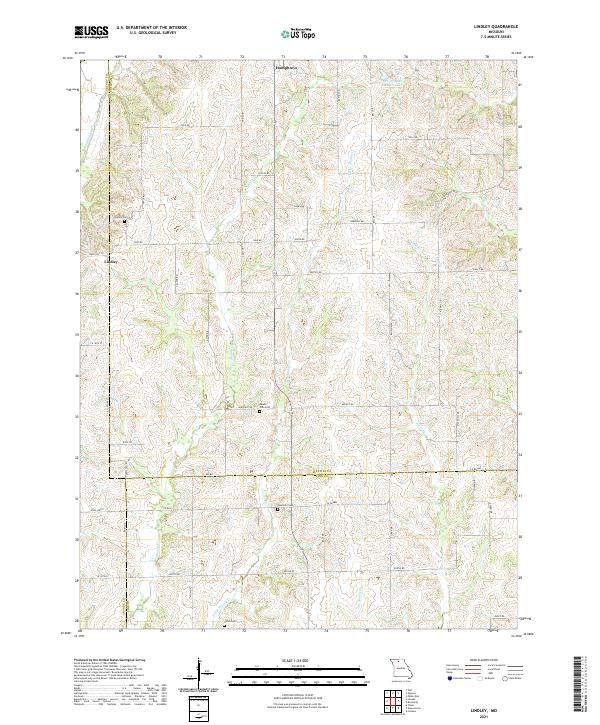 2021 Lindley2021 Print · USGSSullivan and Linn counties are documented here in the early twenty-first century, showing a landscape defined by meandering creek beds and family-run farms. Researchers can locate burial sites like Haseville Cem and Mount Zion Cem or trace the drainage of Medicine Creek and Muddy Cr.
 - 2021 Map of Winigan, 2021 Print
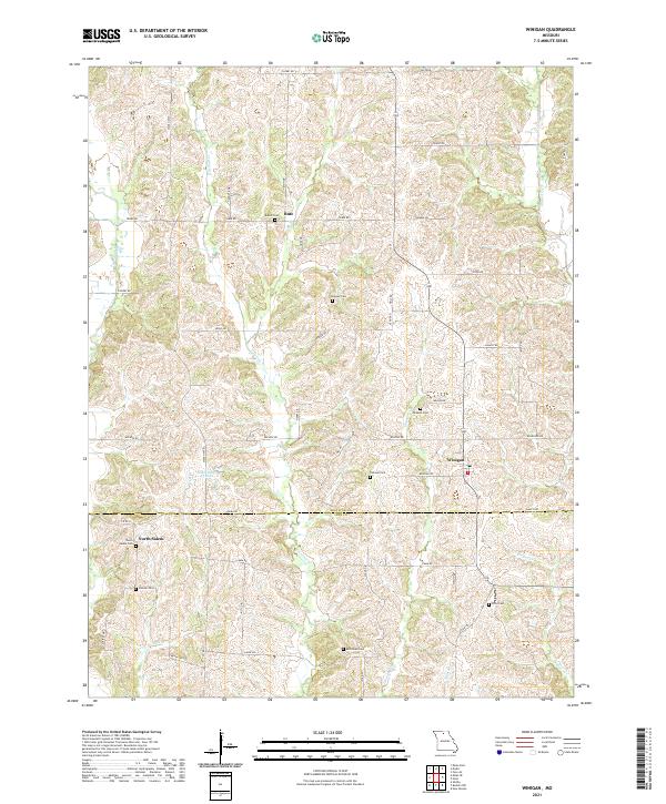 2021 Winigan2021 Print · USGSThe rural borderlands of Sullivan and Linn Counties come into focus in this recent survey. Local historians can trace family roots through several dedicated burial sites, including North Salem Cem, Pickerel Cem, and the small settlement of Bute.
 - 2021 Map of Browning, 2021 Print
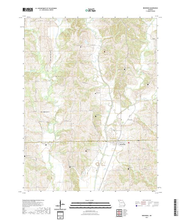 2021 Browning2021 Print · USGSBrowning and the Sullivan-Linn County line are shown here as they appeared in the early 2020s amidst a network of winding creek valleys. Researchers can trace rural family legacies through numerous local burial sites including Jenkins Cem, Dry Ridge Cem, and Hooker Cem.
 - 2021 Map of Milan SE, 2021 Print
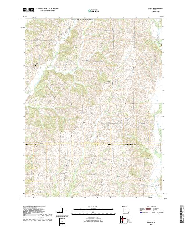 2021 Milan SE2021 Print · USGSSullivan and Linn Counties are captured here in their modern rural character along the border of these two Missouri districts. Researchers can trace family history at Hollon Cem and Knifong Cem or explore the drainage of Paw Paw Cr and W Yellow Cr.
 - 2021 Map of Nind, 2021 Print
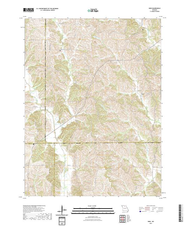 2021 Nind2021 Print · USGSAdair and Sullivan counties meet in this 2021 survey of Missouri's rolling drainage basins. Genealogists can trace family landmarks like Hall Cem and Worley Cem while following the winding courses of Mussel Fork and Nind.
 - 2021 Map of Wien, 2021 Print
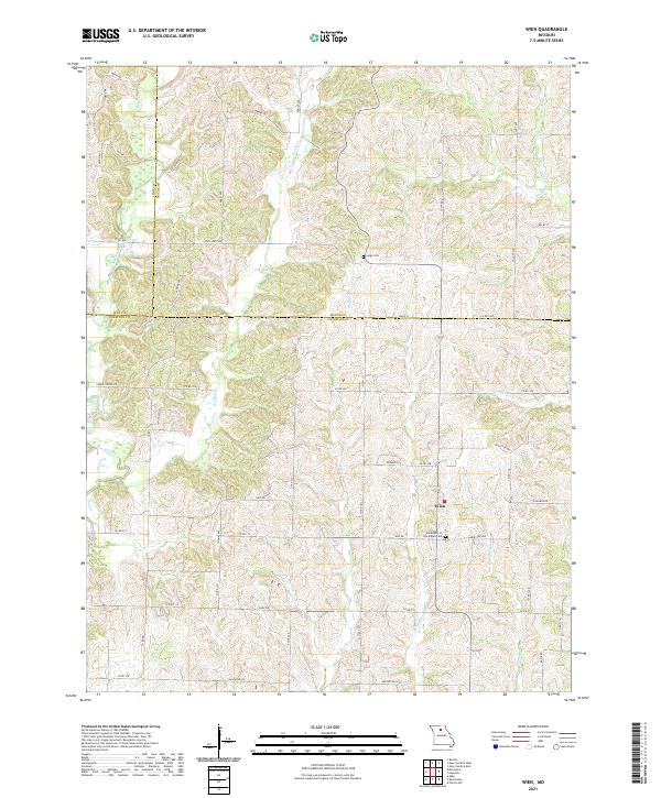 2021 Wien2021 Print · USGSThe rural tri-county border of north-central Missouri is documented here as it appeared in the early twenty-first century. Researchers can trace family history through the Saint Mary of the Angels Cem and explore the winding paths of Mussel Fork and Puzzle Cr.
 - 2021 Map of Bucklin, 2021 Print
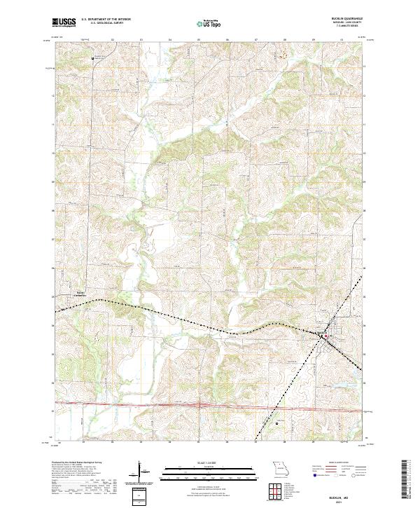 2021 Bucklin2021 Print · USGSLinn County, Missouri, is captured here in the early twenty-first century, showing the established rural layouts of Bucklin and Saint Catharine. Local historians can trace family locations near Pleasant View Baptist Cem and Cash Cem or follow the waters of E Yellow Cr.
 - 2021 Map of Marceline, 2021 Print
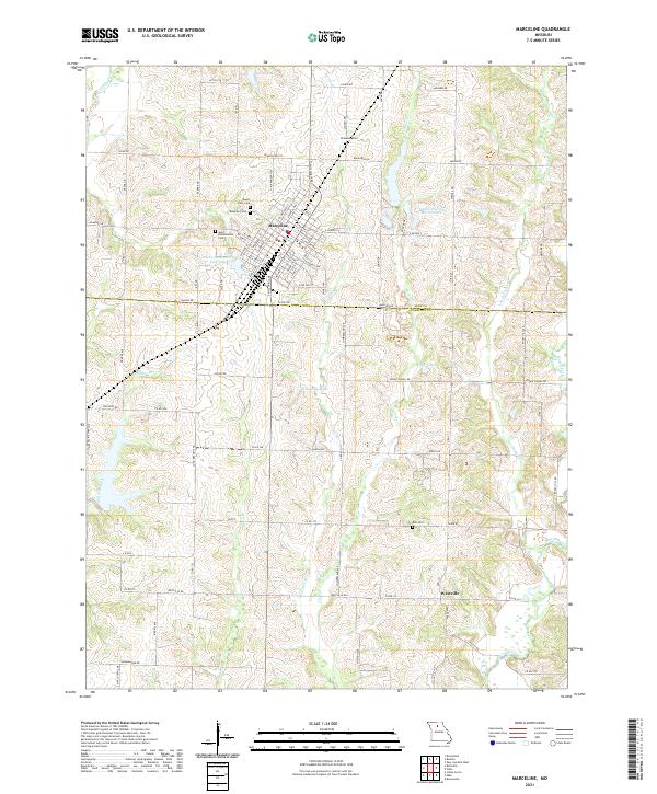 2021 Marceline2021 Print · USGSMarceline and the surrounding Missouri countryside are captured here in the early twenty-first century as the landscape straddles the Linn and Chariton county line. Genealogists can trace family sites at Saint Bonaventure Cem and Bell Cem or locate rural holdings near Westville and the Mussel Fork.
 - 2021 Map of New Boston, 2021 Print
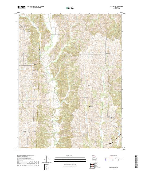 2021 New Boston2021 Print · USGSThe rural border of Linn and Macon Counties is documented here in the early 2020s, showing a landscape shaped by the Mussel Fork and its tributaries. Local historians can trace family ties at White Cem or locate the small centers of New Boston and Goldsberry.
 - 2021 Map of New Cambria West, 2021 Print
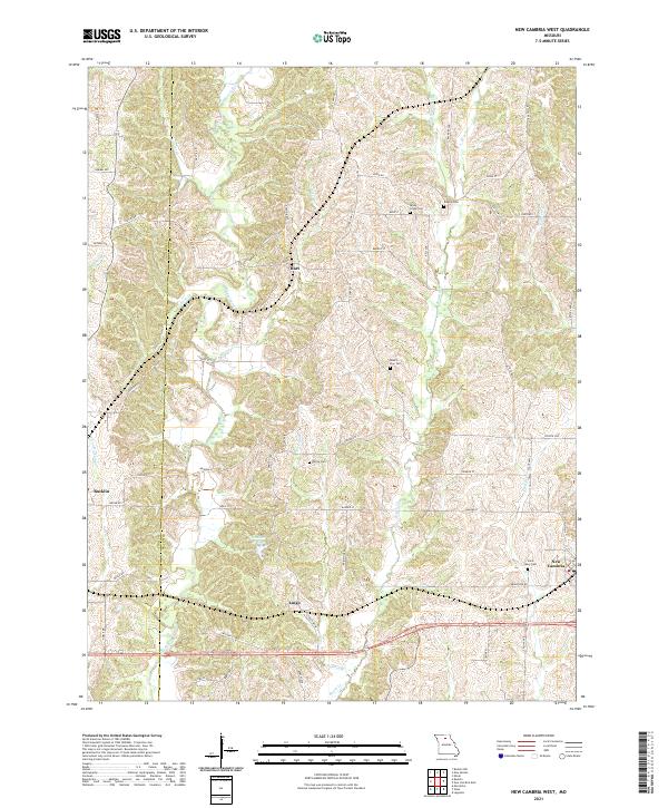 2021 New Cambria West2021 Print · USGSThe rural borderlands of Linn and Macon counties are captured here in the early twenty-first century, centered on the Mussel Fork drainage. Researchers can locate several historical cemeteries like Dowell Cem and trace the small communities of Hart and Lingo.
 - 2021 Map of Bucklin NW, 2021 Print
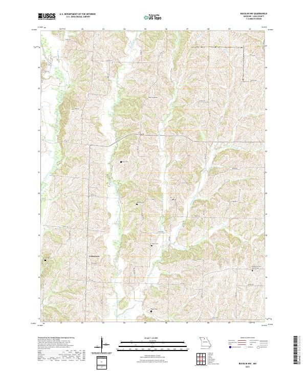 2021 Bucklin NW2021 Print · USGSNorthern Linn County comes into focus in this contemporary survey of its rural landscape and family-named landmarks. Genealogists can trace roots through several documented burial sites, including Wyant Cem, Baker Cem, and the settlement at Johnstown.
 - 2021 Map of Linneus, 2021 Print
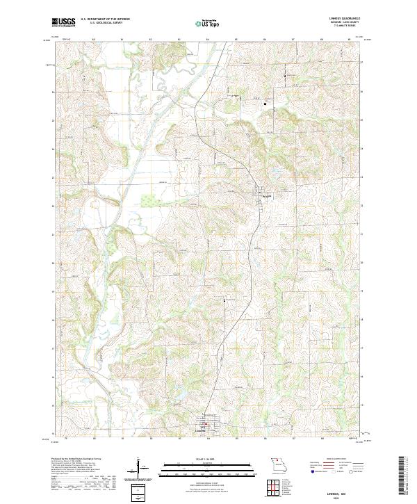 2021 Linneus2021 Print · USGSLinn County, Missouri, is captured here in the early twenty-first century, showing the enduring rural character of its townships and creek bottoms. Family researchers can locate historic burial grounds like Gooch Cem and Dryden Cem or trace the lands surrounding Linneus and Purdin.
 - 2021 Map of Rothville, 2021 Print
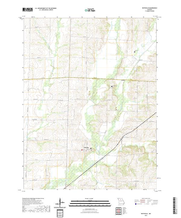 2021 Rothville2021 Print · USGSChariton County farming communities and the town of Rothville are captured here during the early twenty-first century. Researchers can trace ancestral land ties through family-named landmarks like Stains Cem, Redding Cem, and the waters of W Yellow Cr.
 - 2021 Map of Laclede, 2021 Print
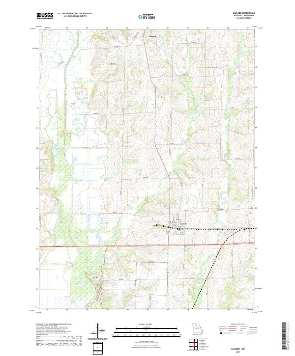 2021 Laclede2021 Print · USGSThe northern Missouri landscape near Linneus and Laclede is captured here in the early twenty-first century. Researchers can trace the persistent grid of rural roads and the intricate drainage of Locust Creek, Muddy Cr, and Little Turkey Cr.
 - 2021 Map of Shelby, 2021 Print
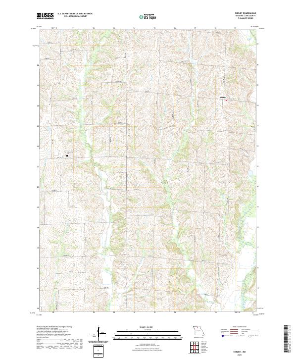 2021 Shelby2021 Print · USGSLinn County agriculture and local creek systems are captured here in the early twenty-first century. Researchers can locate Grantsville Cem and trace the complex drainage networks of West Yellow Creek and Big Turkey Cr across the rural township of Shelby.
 - 2021 Map of Eversonville, 2021 Print
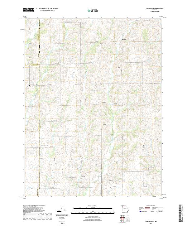 2021 Eversonville2021 Print · USGSLinn and Livingston counties appear in this modern survey of north-central Missouri farmland. Researchers can trace family roots at Van Horne Cem and Parsons Creek Cem or locate the quiet settlements of Eversonville, Shafter, and Hecla.
 - 2021 Map of Fountain Grove, 2021 Print
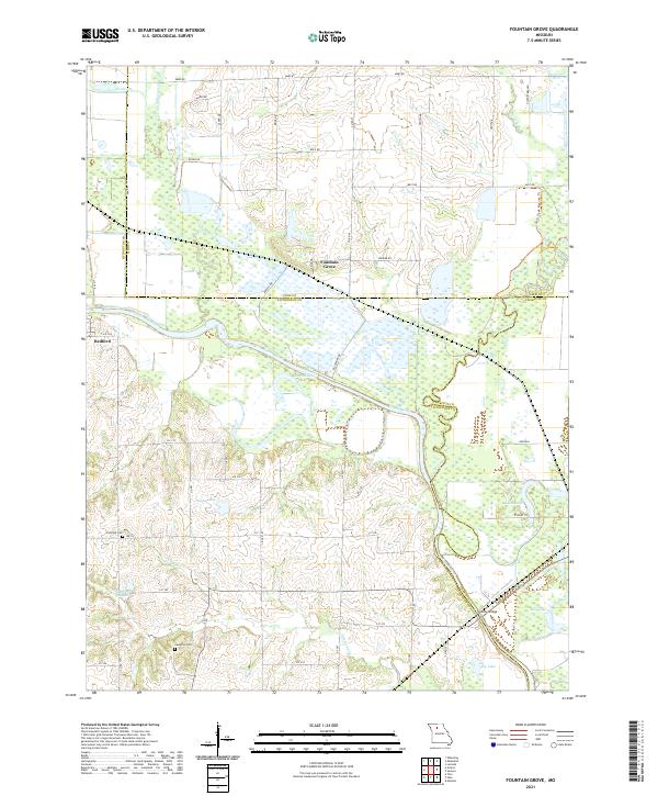 2021 Fountain Grove2021 Print · USGSThe Grand River floodplain south of Fountain Grove is captured here at a time when managed wetlands and rail lines defined the rural landscape. Genealogists can locate Fairland Cemetery and Cameron Cemetery or trace the river's path past Eagle Lake.
 - 2021 Map of Brookfield, 2021 Print
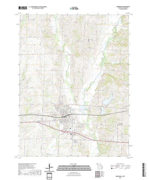 2021 Brookfield2021 Print · USGSMissouri's Linn County comes into focus in this recent survey of Brookfield and its surrounding prairie streams. Genealogists can pinpoint family landmarks like New Garden Cem or trace the flight paths at North Central Missouri Regional Airport.
 - 2021 Map of Sumner, 2021 Print
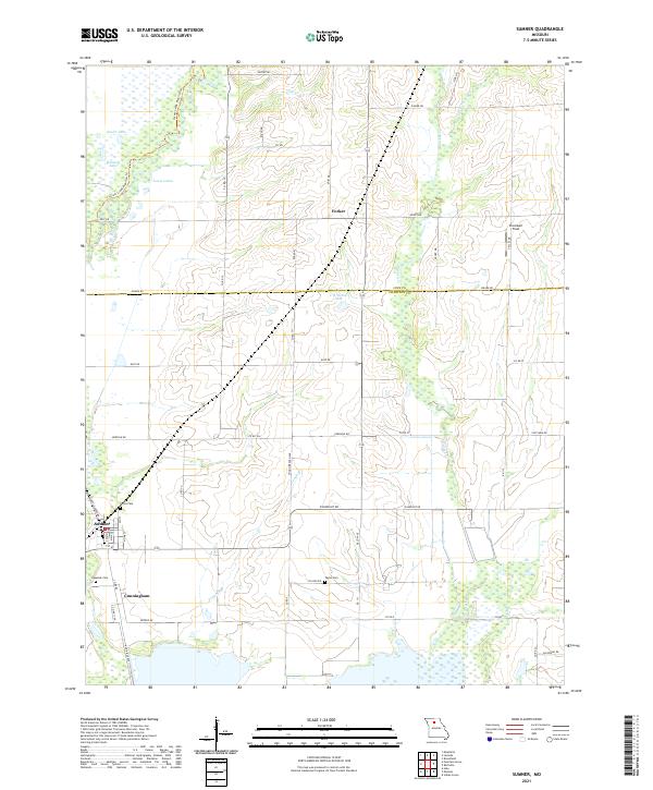 2021 Sumner2021 Print · USGSThe river-bottom country of Chariton County is captured here in the early 2020s, showing a landscape defined by wetlands and rural outposts. Researchers can trace family history at Purvis Cem and Lakeside Cem or locate the small settlements of Sumner and Forker.
 - 2021 Map of Meadville, 2021 Print
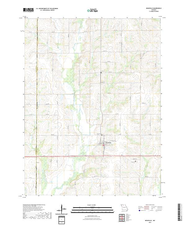 2021 Meadville2021 Print · USGSMeadville and the rural border between Linn and Livingston counties are captured here in the early 2020s. Researchers can trace land ties and local history through features like Botts Cem, Meadville Cem, and winding waterways like Lousy Cr.
End of results
Showing maps 1-20 of 20
Top cities of Linn County
- Brookfield historical maps
- Marceline historical maps
- Bucklin historical maps
- Meadville historical maps
- Laclede historical maps
- Linneus historical maps
See more
Frequently asked questions
- What are the different types of historical maps available for Linn County?
- What is the oldest map of Linn County?
- Where can I purchase historical maps of Linn County for my home or office?
- Where can I download high-res historical maps of Linn County?
- Are there historical topographic maps available for Linn County?
- Is there historical aerial imagery available for Linn County?
- Where are historical maps of Linn County sourced from?