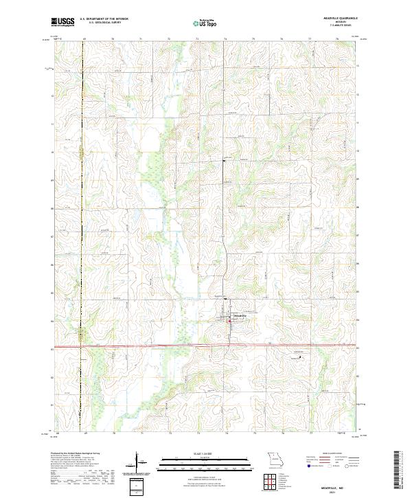
2021 Map of Meadville
USGS Topo · Published 2021About this map
Meadville serves as the central hub for this portion of the northern Missouri agricultural landscape, situated precisely where the Livingston Co and Linn Co boundary line runs through the western edge of the region. The map documents a complex drainage system characterized by numerous winding waterways, including the uniquely named Lousy Cr, Little Parson Cr, and Lewis Cr, which carve through the terrain between a network of county roads. For those researching local family history, several burial grounds are preserved across the area, such as Botts Cem to the north, Meadville Cem near the town center, and Bethel Cem to the southeast. The survey highlights a well-established rural grid where roads like Atlas Rd and Co Rd Y connect isolated farmsteads and agricultural tracts across the rolling prairie.
Find a feature on this map
66 named features on this map. Tap any name to fly to it.
Don’t see what you’re looking for? This feature index may not catch every label — zoom into the map to look around manually.
Map Details
Editions of this 2021 Meadville Map
This is the sole edition of this map. No revisions or reprints were ever made.
Other maps of this area

1924 · Chula
USGS Topo · 1:62,500

1924 · Hale
USGS Topo · 1:62,500

1946 · Brookfield
USGS Topo · 1:62,500

1947 · Chula
USGS Topo · 1:62,500

1948 · Brookfield
USGS Topo · 1:62,500

1949 · Sumner
USGS Topo · 1:24,000

1950 · Sumner
USGS Topo · 1:24,000

1951 · Hale
USGS Topo · 1:62,500

1953 · Moberly
USGS Topo · 1:250,000

1954 · Moberly
USGS Topo · 1:250,000