2000s (21st Century) Maps of Maries County, Missouri
Explore 60 historic maps of Maries County from the 2000s (21st Century). These maps offer a rare glimpse into what life looked like during the 2000s — showing old roads, neighborhoods, homes, and landmarks that have changed or disappeared over time.
Whether you're researching your family's past, planning a metal detecting trip, or studying how Maries County's landscape evolved across the 2000s, these high-resolution maps are a powerful tool for exploring the history of this region.
- Focus on a specific era: All maps on this page are from the 2000s, giving you a focused view of this time period.
- See what’s changed: Compare century-old streets, trails, and buildings to today's modern landscape using overlays and satellite layers.
- Research with precision: Use these maps for genealogy, historical research, land use analysis, or educational projects.
- View, download, or print: Maps are fully viewable online in high resolution, and can be downloaded or printed for your own records.
Start exploring Maries County's history through authentic maps from the 2000s. This is your window into the past.
Maries County, MO maps
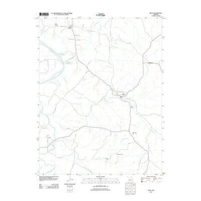
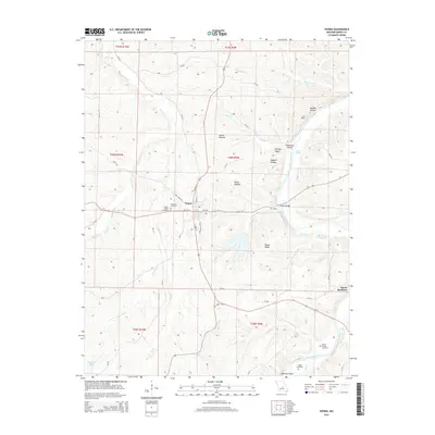
(60)- 2011 Map of Brinktown, 2011 Print
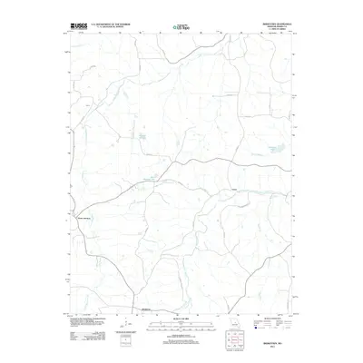 2011 Brinktown2011 Print · USGSCovers Maries County, including Ozark Junction, Venus, and other nearby areas
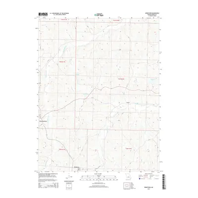
 - 2011 Map of Van Cleve, 2011 Print
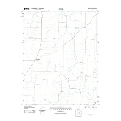
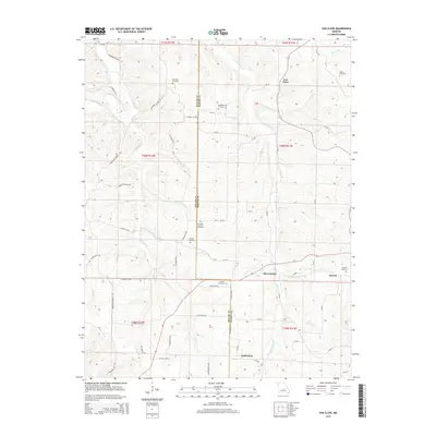
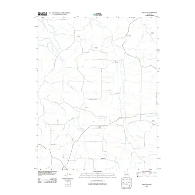 2011 Van Cleve2011 Print · USGSCovers Maries County, including Tavern, Sudheimer, and other nearby areas
 - 2011 Map of Argyle, 2011 Print
 2011 Argyle2011 Print · USGSCovers Maries County, including Koeltztown, Argyle, and other nearby areas
 - 2011 Map of Brays, 2011 Print
 2011 Brays2011 Print · USGSCovers Maries County, including Brays, Atwell, and other nearby areas
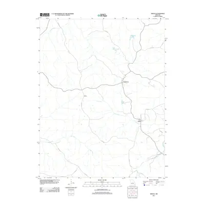
 - 2011 Map of Meta, 2011 Print
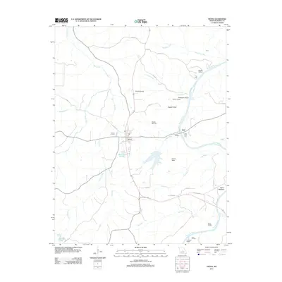
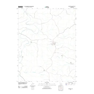
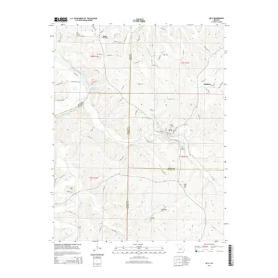
 2011 Meta2011 Print · USGSCovers Maries County, including Meta, Teal, and other nearby areas
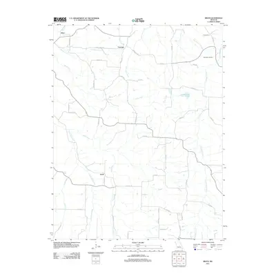
 - 2012 Map of Nagogami Lodge, 2012 Print
 2012 Nagogami Lodge2012 Print · USGSCovers Maries County, including Hayden, Stickney, and other nearby areas
 - 2012 Map of Paydown, 2012 Print
 2012 Paydown2012 Print · USGSCovers Maries County, including Lindell, Paydown, and other nearby areas
 - 2012 Map of Summerfield, 2012 Print
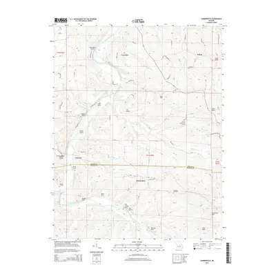
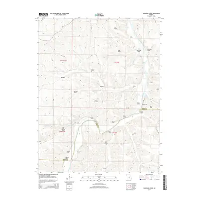
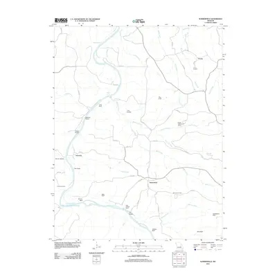 2012 Summerfield2012 Print · USGSCovers Maries County, including Gascondy, Summerfield, and other nearby areas
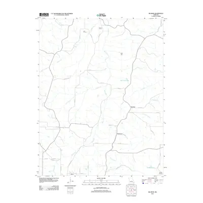
 - 2012 Map of Belle, 2012 Print
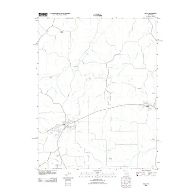 2012 Belle2012 Print · USGSCovers Maries County, including Bland, Belle, and other nearby areas
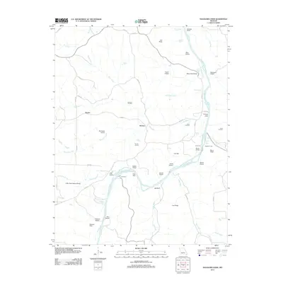
 - 2012 Map of Vienna, 2012 Print
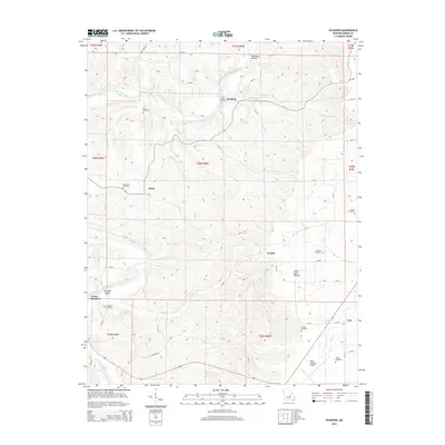
 2012 Vienna2012 Print · USGSCovers Maries County, including Vienna, James Brothers, and other nearby areas
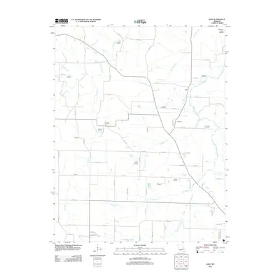
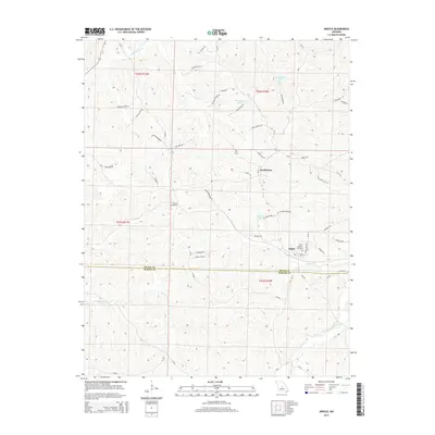
 - 2012 Map of Safe, 2012 Print
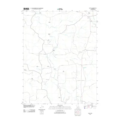
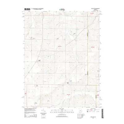
 2012 Safe2012 Print · USGSCovers Maries County, including St. James, Safe, and other nearby areas
 - 2012 Map of Big Bend, 2012 Print
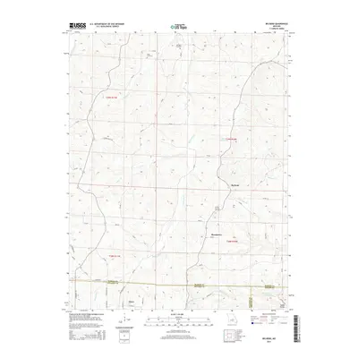
 2012 Big Bend2012 Print · USGSCovers Maries County, including Dixon, Shantytown, and other nearby areas
 - 2012 Map of Freeburg, 2012 Print
 2012 Freeburg2012 Print · USGSCovers Maries County, including Freeburg, Osage County, and other nearby areas
 - 2012 Map of High Gate, 2012 Print
 2012 High Gate2012 Print · USGSCovers Maries County, including Lanes Prairie, High Gate, and other nearby areas
 - 2012 Map of Vichy, 2012 Print
 2012 Vichy2012 Print · USGSCovers Maries County, including Vichy, Davis Ford, and other nearby areas
 - 2015 Map of Meta, 2015 Print
 2015 Meta2015 Print · USGSCovers Maries County, including Meta, Teal, and other nearby areas
 - 2015 Map of Vienna, 2015 Print
 2015 Vienna2015 Print · USGSCovers Maries County, including Vienna, James Brothers, and other nearby areas
 - 2015 Map of Brinktown, 2015 Print
 2015 Brinktown2015 Print · USGSCovers Maries County, including Ozark Junction, Venus, and other nearby areas
 - 2015 Map of Argyle, 2015 Print
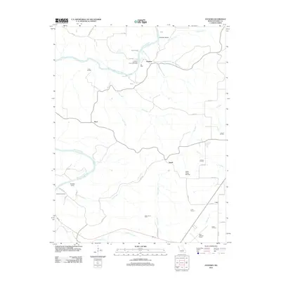
 2015 Argyle2015 Print · USGSCovers Maries County, including Koeltztown, Argyle, and other nearby areas
 - 2015 Map of Summerfield, 2015 Print
 2015 Summerfield2015 Print · USGSCovers Maries County, including Gascondy, Summerfield, and other nearby areas
 - 2015 Map of High Gate, 2015 Print
 2015 High Gate2015 Print · USGSCovers Maries County, including Lanes Prairie, High Gate, and other nearby areas
 - 2015 Map of Paydown, 2015 Print
 2015 Paydown2015 Print · USGSCovers Maries County, including Lindell, Paydown, and other nearby areas
 - 2015 Map of Nagogami Lodge, 2015 Print
 2015 Nagogami Lodge2015 Print · USGSCovers Maries County, including Hayden, Stickney, and other nearby areas
 - 2015 Map of Big Bend, 2015 Print
 2015 Big Bend2015 Print · USGSCovers Maries County, including Dixon, Shantytown, and other nearby areas
 - 2015 Map of Van Cleve, 2015 Print
 2015 Van Cleve2015 Print · USGSCovers Maries County, including Tavern, Sudheimer, and other nearby areas
Showing maps 1-25 of 60
Top cities of Maries County
Frequently asked questions
- What are the different types of historical maps available for Maries County?
- What is the oldest map of Maries County?
- Where can I purchase historical maps of Maries County for my home or office?
- Where can I download high-res historical maps of Maries County?
- Are there historical topographic maps available for Maries County?
- Is there historical aerial imagery available for Maries County?
- Where are historical maps of Maries County sourced from?