2010s Maps of Maries County, Missouri
Explore 45 historic maps of Maries County from the 2010s. These maps offer a rare glimpse into what life looked like during the 2010s — showing old roads, neighborhoods, homes, and landmarks that have changed or disappeared over time.
Whether you're researching your family's past, planning a metal detecting trip, or studying how Maries County's landscape evolved across the 2010s, these high-resolution maps are a powerful tool for exploring the history of this region.
- Focus on a specific era: All maps on this page are from the 2010s, giving you a focused view of this time period.
- See what’s changed: Compare century-old streets, trails, and buildings to today's modern landscape using overlays and satellite layers.
- Research with precision: Use these maps for genealogy, historical research, land use analysis, or educational projects.
- View, download, or print: Maps are fully viewable online in high resolution, and can be downloaded or printed for your own records.
Start exploring Maries County's history through authentic maps from the 2010s. This is your window into the past.
Maries County, MO maps
(45)- 2011 Map of Brinktown, 2011 Print
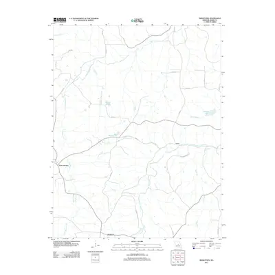 2011 Brinktown2011 Print · USGSThe rural interior of Maries County is seen here in the early twenty-first century, centered on the community of Brinktown. Local researchers can trace the waterways of Little Maries River and locate family landmarks near Venus and Cairns.
 - 2011 Map of Van Cleve, 2011 Print
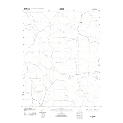 2011 Van Cleve2011 Print · USGSMaries County settlement patterns and family heritage are well-preserved here in the early twenty-first century. Genealogists can trace family footprints across several rural burial grounds, including Duncan Cemetery, Lawson Cemetery, and Barnhart Cemetery.
 - 2011 Map of Argyle, 2011 Print
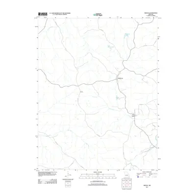 2011 Argyle2011 Print · USGSOsage County at the start of the 2010s reveals a landscape of winding creek beds and rural villages. Genealogists and local historians can trace family land near Koeltztown, locate the elusive Tunnel Number 2, or survey the banks of Loose Creek and Argyle.
 - 2011 Map of Brays, 2011 Print
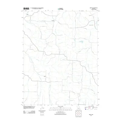 2011 Brays2011 Print · USGSMiller County’s rural interior is documented here during the early 2010s, showcasing the winding creek systems and small crossroads. Researchers can trace local heritage at Washington Cemetery and Rose Cemetery or locate the settlements of Brays and Atwell.
 - 2011 Map of Meta, 2011 Print
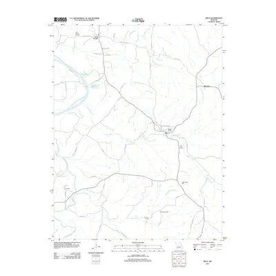 2011 Meta2011 Print · USGSOsage County in the early twenty-first century remains a landscape of high ridges and winding river bottoms. Researchers can trace family sites near Saint Thomas, Babbtown, and Meta, or locate rural burial grounds like Saint Cecilia Cemetery and South Side Cemetery.
 - 2012 Map of Nagogami Lodge, 2012 Print
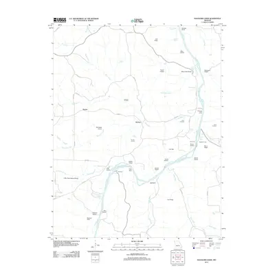 2012 Nagogami Lodge2012 Print · USGSMaries County life along the Gasconade River is captured here in the early twenty-first century, highlighting a landscape of rural settlements and deep-rooted family sites. Researchers can locate several burial grounds like Fulkerson Cemetery and trace historical river access at Gaines Ferry or Bell Chute Public Access.
 - 2012 Map of Paydown, 2012 Print
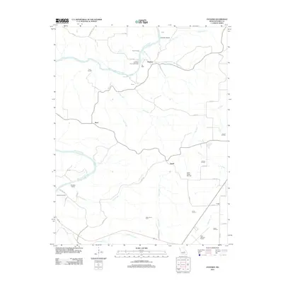 2012 Paydown2012 Print · USGSMaries County settlement and river culture are on display here in the early 2010s, centered on the winding Gasconade River. Researchers can trace family history at Green Cemetery and Bowles Cemetery or locate landmarks like the Vichy Lookout Tower.
 - 2012 Map of Summerfield, 2012 Print
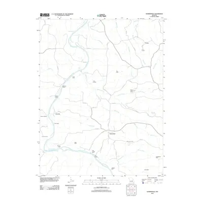 2012 Summerfield2012 Print · USGSOsage County's river-cut terrain is shown in detail during the early twenty-first century, centered on the bend of the Gasconade River. Researchers can locate family landmarks like Koenig Cemetery, the small community of Summerfield, and aviation sites such as Stickle Cattle Farms Airport.
 - 2012 Map of Belle, 2012 Print
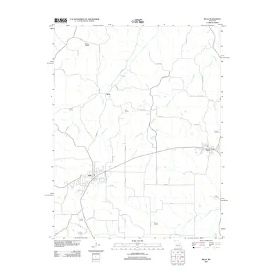 2012 Belle2012 Print · USGSThe borderlands of Gasconade and Maries counties appear in the early 21st century as a landscape of established small towns and generational homesteads. Researchers can locate numerous family burial sites such as Francis Cemetery and Campbell Cemetery or trace the winding course of Crider Creek.
 - 2012 Map of Vienna, 2012 Print
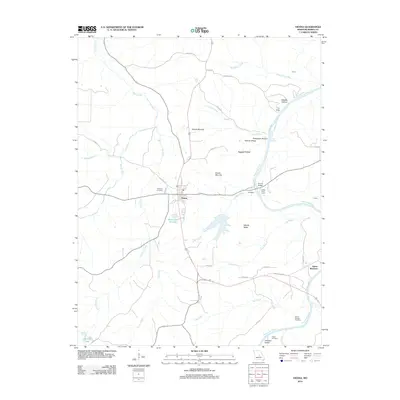 2012 Vienna2012 Print · USGSMaries County settlement and river geography are documented here just after the turn of the millennium. Researchers can trace local heritage through Visitation Cemetery and James Brothers, or follow the winding Gasconade River past Johnson Island.
 - 2012 Map of Safe, 2012 Print
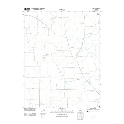 2012 Safe2012 Print · USGSPhelps County settlements like Safe and Highgrove are captured here in the early twenty-first century along the Northern Ozark Border. Genealogists can trace family roots through numerous burial sites including Rock Spring Cemetery, Beeler Cemetery, and Matlock Cemetery.
 - 2012 Map of Big Bend, 2012 Print
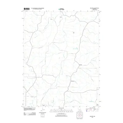 2012 Big Bend2012 Print · USGSDixon and the surrounding river valleys of central Missouri are captured here in the early twenty-first century. Researchers can trace family history through local landmarks like Weldon Post Office, Dodd Cemetery, and the riverside community of Big Bend.
 - 2012 Map of Freeburg, 2012 Print
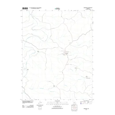 2012 Freeburg2012 Print · USGSFreeburg and the surrounding hollows of Osage County are shown here in the early twenty-first century. Researchers can trace family history at Holy Family Cemetery and Breeding Cemetery or locate landmarks like the Freeburg Lookout Tower.
 - 2012 Map of High Gate, 2012 Print
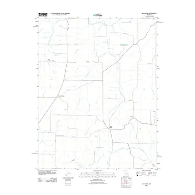 2012 High Gate2012 Print · USGSMaries County settlement and genealogy are well-preserved in this modern survey of the Northern Ozark Border. Researchers can trace ancestral roots through numerous local sites including Lanes Prairie, Love Cemetery, and High Gate.
 - 2012 Map of Vichy, 2012 Print
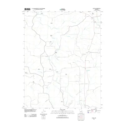 2012 Vichy2012 Print · USGSMaries County remains a land of family-named ridges and rural burial grounds in the early twenty-first century. Genealogists and local historians can trace legacy sites like Tennison Cemetery and Davis Ford or locate the Wo He Lo Woods Camp.
 - 2015 Map of Meta, 2015 Print
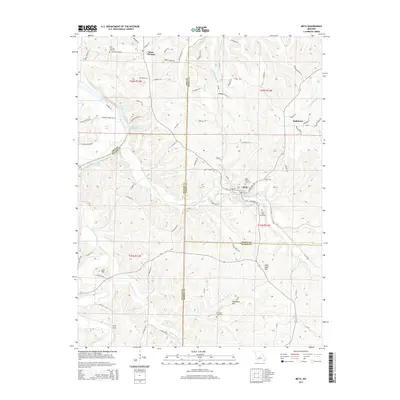 2015 Meta2015 Print · USGSOsage County and its neighboring borders are documented here in the mid-2010s, showing a landscape defined by the Osage River and traditional rural settlements. Researchers can trace family history through Saint Cecilia Cemetery or locate natural landmarks like Arch Cave and Lost Hill.
 - 2015 Map of Vienna, 2015 Print
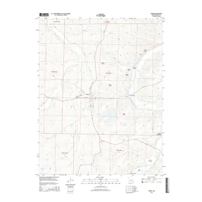 2015 Vienna2015 Print · USGSVienna and the surrounding Missouri Ozark plateaus are captured here during the mid-2010s, showing a landscape defined by river bends and ridge-top settlements. Researchers can locate family sites like James Brothers and historic grounds such as Bloom Garden Cemetery or Feeler Cemetery.
 - 2015 Map of Brinktown, 2015 Print
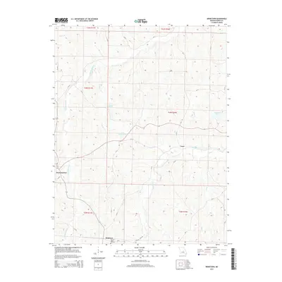 2015 Brinktown2015 Print · USGSBrinktown and the surrounding Maries County countryside appear here in the mid-2010s, defined by the winding drainages of the Little Maries River. Genealogists and local historians can locate the Guardian Angel Cemetery and trace early settlements like Venus and Ozark Junction.
 - 2015 Map of Argyle, 2015 Print
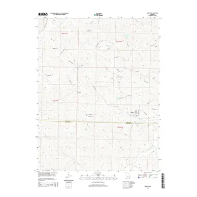 2015 Argyle2015 Print · USGSThe Osage and Maries County borderlands come into focus in the mid-2010s, showing a landscape defined by deep creek valleys and family farmsteads. Researchers can trace the heritage of Argyle and Koeltztown, locating landmarks like Saint Aloysius Cemetery and the curious Tunnel Number 2.
 - 2015 Map of Summerfield, 2015 Print
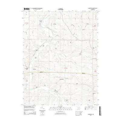 2015 Summerfield2015 Print · USGSOsage and Maries counties in the early twenty-first century are defined by the winding course of the Gasconade River. Local historians can trace family roots through the Branson Cemetery or explore landmarks like Summerfield and the Stickle Cattle Farms Airport.
 - 2015 Map of High Gate, 2015 Print
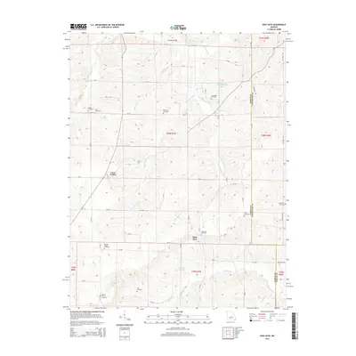 2015 High Gate2015 Print · USGSThe crossroads of Maries County are captured here in the early twenty-first century, showing the enduring rural character of the Missouri Ozarks. Genealogists can trace family heritage through a remarkable number of local burial sites, including High Gate Cemetery, Hart Cemetery, and Moreland Cemetery.
 - 2015 Map of Paydown, 2015 Print
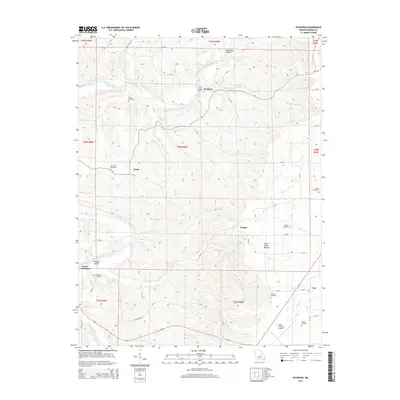 2015 Paydown2015 Print · USGSMaries County near the middle of the 2010s remains a landscape of deep river valleys and high ridge cemeteries. Family historians and researchers can locate several rural burial grounds like Green Cemetery and Ferrell Cemetery, or trace the historical Indian House Mounds.
 - 2015 Map of Nagogami Lodge, 2015 Print
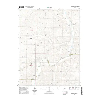 2015 Nagogami Lodge2015 Print · USGSThe Gasconade River corridor in Maries County is shown here in its modern rural character. Genealogists and local historians can locate several family burial sites like Granny Baker Graveyard and landmarks such as the Clifty Creek Natural Bridge.
 - 2015 Map of Big Bend, 2015 Print
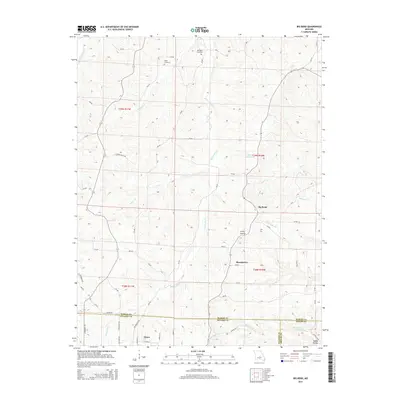 2015 Big Bend2015 Print · USGSThe river valleys of central Missouri are captured here just north of Dixon, where the Maries River meets the rural crossing at Big Bend. Researchers can trace family history through local landmarks like Dodd Cemetery, Bumpass Cemetery, and the rugged contours of Clifty Hollow.
 - 2015 Map of Van Cleve, 2015 Print
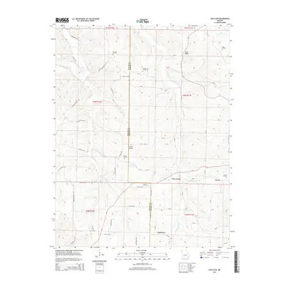 2015 Van Cleve2015 Print · USGSThe Maries and Miller County border comes to life in this recent survey of the Missouri Ozarks. Genealogists can trace family roots at Stokes Cemetery, Duncan Cemetery, and through landmarks along Little Tavern Cr.
Showing maps 1-25 of 45
Top cities of Maries County
Frequently asked questions
- What are the different types of historical maps available for Maries County?
- What is the oldest map of Maries County?
- Where can I purchase historical maps of Maries County for my home or office?
- Where can I download high-res historical maps of Maries County?
- Are there historical topographic maps available for Maries County?
- Is there historical aerial imagery available for Maries County?
- Where are historical maps of Maries County sourced from?