2020s Maps of Mississippi County, Missouri
Explore 19 historic maps of Mississippi County from the 2020s. These maps offer a rare glimpse into what life looked like during the 2020s — showing old roads, neighborhoods, homes, and landmarks that have changed or disappeared over time.
Whether you're researching your family's past, planning a metal detecting trip, or studying how Mississippi County's landscape evolved across the 2020s, these high-resolution maps are a powerful tool for exploring the history of this region.
- Focus on a specific era: All maps on this page are from the 2020s, giving you a focused view of this time period.
- See what’s changed: Compare century-old streets, trails, and buildings to today's modern landscape using overlays and satellite layers.
- Research with precision: Use these maps for genealogy, historical research, land use analysis, or educational projects.
- View, download, or print: Maps are fully viewable online in high resolution, and can be downloaded or printed for your own records.
Start exploring Mississippi County's history through authentic maps from the 2020s. This is your window into the past.
Mississippi County, MO maps
(19)- 2021 Map of Cache, 2021 Print
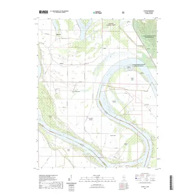 2021 Cache2021 Print · USGSAlexander County and the Mississippi River are seen here in the early 2020s, showing a landscape defined by massive river bends and floodplain agriculture. Genealogists and local historians can trace family sites at County Farm Cem, Bumgard Cem, and the ancient Dogtooth Bend Mounds.
 - 2021 Map of Cairo, 2021 Print
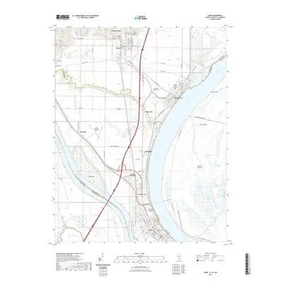 2021 Cairo2021 Print · USGSThe confluence of the Ohio and Mississippi Rivers comes into sharp focus in this recent survey of Southern Illinois. Genealogists can trace family plots at Mound City National Cemetery or explore the civic centers of Cairo and Mound City.
 - 2021 Map of Bayouville, 2021 Print
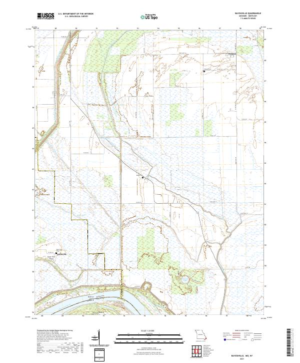 2021 Bayouville2021 Print · USGSThe Missouri-Kentucky borderlands along the Mississippi River are shown here in the early twenty-first century. Genealogists can locate family names at Pinhook Cem and Sugar Tree Ridge, or trace the river's path past Island Number 8.
 - 2021 Map of Anniston, 2021 Print
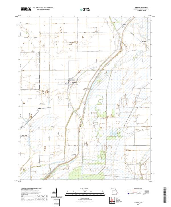 2021 Anniston2021 Print · USGSThe Missouri Bootheel's agricultural and drainage history is on full display in this modern survey of the lowlands near the Mississippi River. Researchers can trace local lineage at Anniston Cem or explore the development of Anniston, Whiting, and Airline Acres.
 - 2021 Map of Charleston, 2021 Print
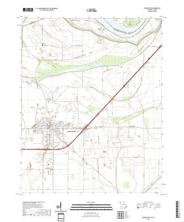 2021 Charleston2021 Print · USGSCharleston and the Mississippi River lowlands are captured here in the early twenty-first century as a landscape of structured towns and complex drainage. Researchers can locate the Mississippi County Courthouse and burial sites like the Independent Order of Odd Fellows Cem.
 - 2021 Map of East Prairie, 2021 Print
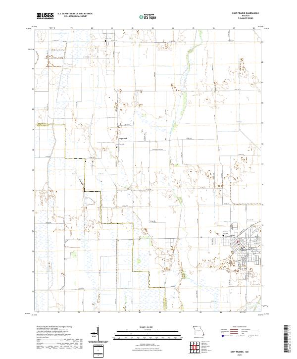 2021 East Prairie2021 Print · USGSSoutheast Missouri's agricultural heartland is documented here in the early twenty-first century, showing the reclaimed lands of the Bootheel. Genealogists and local historians can locate East Prairie and the Dogwood Cem, alongside the complex drainage of Maple Slough Ditch.
 - 2021 Map of Henderson Mound, 2021 Print
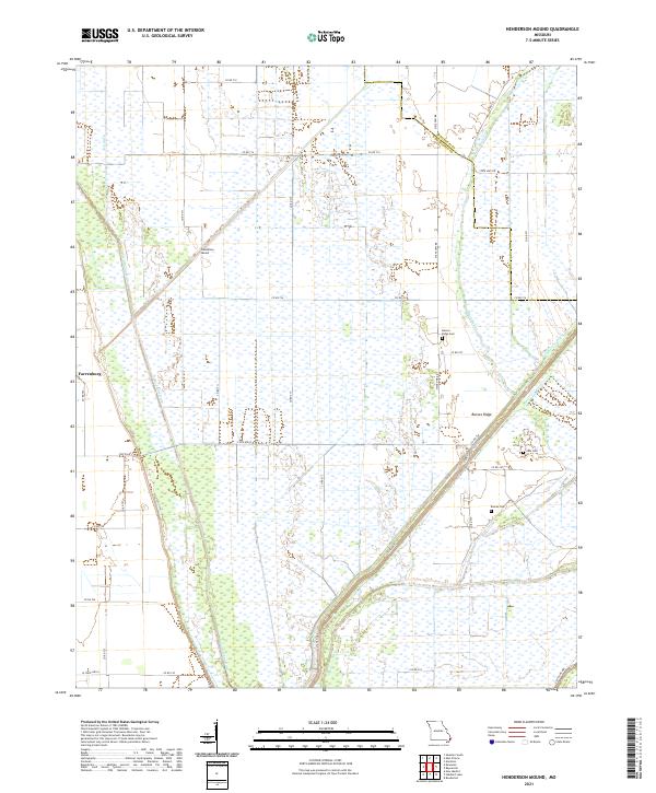 2021 Henderson Mound2021 Print · USGSThe Missouri Bootheel's agricultural landscape is shown here in the 2020s, defined by the complex drainage networks of the Mississippi and New Madrid county border. Genealogists can locate family sites such as Barnes Ridge Cem, Cole Cem, and Farrenburg.
 - 2021 Map of Sikeston North, 2021 Print
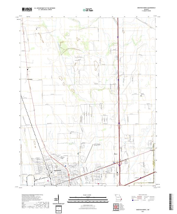 2021 Sikeston North2021 Print · USGSThe northern edge of Sikeston and the fertile fields of Scott County come alive in this recent survey. Researchers can trace family history through numerous rural burial sites like Hunter Cem and Bright Prospect Cem or locate the small siding at Sargent.
 - 2021 Map of Wickliffe SW, 2021 Print
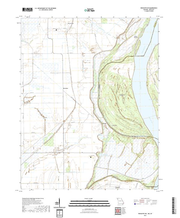 2021 Wickliffe SW2021 Print · USGSThe Missouri-Kentucky borderlands along the Mississippi River are shown here in the early twenty-first century. Researchers can trace the legacy of river settlements like Deventer and Crosno or locate family sites at O'Bryan Cem and Travis Cem.
 - 2021 Map of Sikeston South, 2021 Print
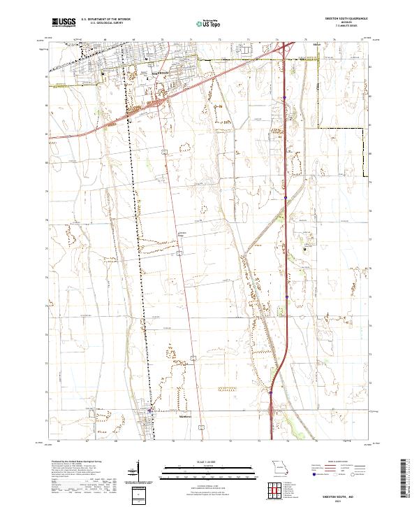 2021 Sikeston South2021 Print · USGSSikeston and the surrounding Bootheel plains are captured here in the early twenty-first century as the region continues its legacy of agriculture and transport. Researchers can trace local burial sites like Little Vine Cem or follow the path of Saint Johns Ditch through Matthews.
 - 2021 Map of Wolf Island, 2021 Print
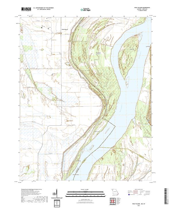 2021 Wolf Island2021 Print · USGSThe Missouri-Kentucky borderlands are defined by the river's changing course in the early 2020s. Genealogists can trace family footprints at Wolf Island Cem and Lee Cem near the riverfront landings at Beckwith Bend.
 - 2021 Map of Bertrand, 2021 Print
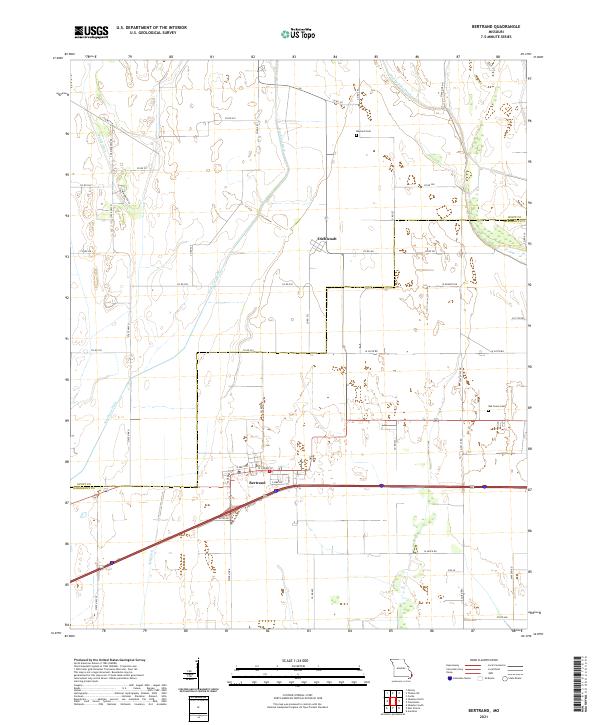 2021 Bertrand2021 Print · USGSSoutheast Missouri's agricultural heartland is documented here in the early twenty-first century, spanning the Scott and Mississippi County line. Genealogists can locate Maynard Cem and Oak Grove Cem or trace family lands near Bertrand and Diehlstadt.
 - 2021 Map of Wyatt, 2021 Print
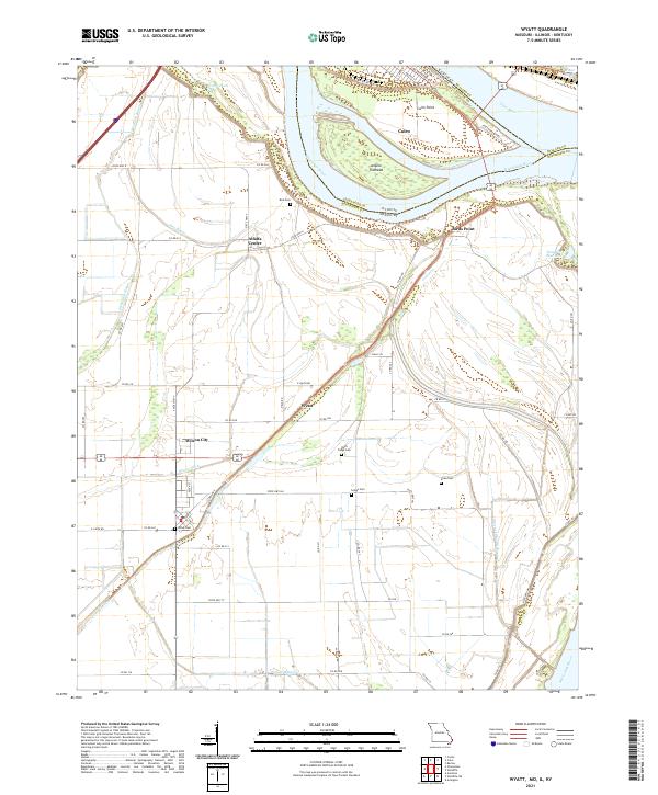 2021 Wyatt2021 Print · USGSThe confluence of the great rivers at the tri-state border defines this landscape during the early 2020s. Researchers can trace the legacy of local families through rural landmarks like Bird Cem, Wyatt Cem, and the settlement of Alfalfa Center.
 - 2022 Map of Arlington, 2022 Print
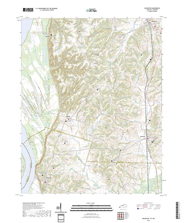 2022 Arlington2022 Print · USGSArlington and Columbus sit at the edge of the Mississippi River bottomlands in the early twenty-first century. Genealogists can trace family lines across dozens of rural burial sites like the Columbus Confederate Cem, Lillard King Cem, and Beech Grove Church Cem.
 - 2022 Map of Hickman, 2022 Print
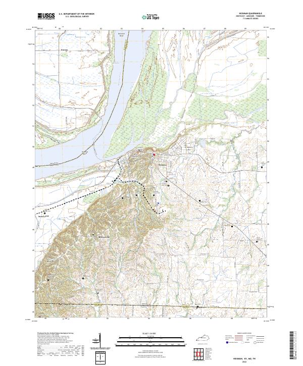 2022 Hickman2022 Print · USGSHickman and the surrounding river bluffs are shown here at the start of the 2020s, highlighting the enduring river-and-road connections of western Kentucky. Researchers can trace ancestral sites like the County Farm Cem and the Dorena-Hickman Ferry.
 - 2022 Map of Wickliffe, 2022 Print
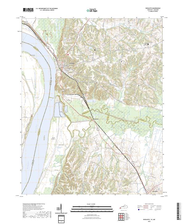 2022 Wickliffe2022 Print · USGSThe river bluffs of Ballard County come into focus in the early 2020s, showing the strategic position of Wickliffe above the Mississippi River floodplains. Genealogists can locate several key burial grounds including Cone Creek Cem and Bethlehem Cem.
 - 2022 Map of Bondurant, 2022 Print
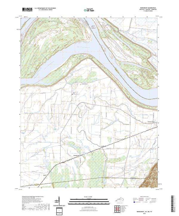 2022 Bondurant2022 Print · USGSThe Mississippi River bottomlands of Kentucky and Tennessee are mapped here during the early 2020s, showing a landscape defined by alluvial plains and flood control. Researchers can trace family roots through the Sassafras Ridge Community Cem or locate the historic sites of Bondurant and Tyler among the winding channels of Hogpen Slough and Willow Pond.
 - 2024 Map of Cache, 2024 Print
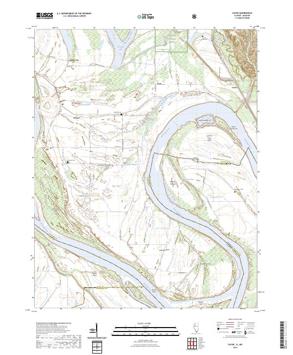 2024 Cache2024 Print · USGSThe confluence of river and floodplains in southern Illinois is captured here, showing how the Mississippi River channel defines the state border. Genealogists can locate several burial grounds like Bumgard Cem and Thompson Cem near the historic Dogtooth Bend area.
 - 2024 Map of Cairo, 2024 Print
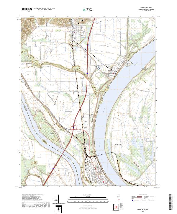 2024 Cairo2024 Print · USGSThe confluence of the Ohio and Mississippi Rivers in southern Illinois creates a landscape of deep historical and civic importance. Researchers can trace the layout of Cairo and Mound City, finding landmarks like the Mound City National Cemetery and Alexander County Courthouse.
End of results
Showing maps 1-19 of 19
Top cities of Mississippi County
- Charleston historical maps
- East Prairie historical maps
- Bertrand historical maps
- Wyatt historical maps
- Anniston historical maps
- Wilson City historical maps
See more
Frequently asked questions
- What are the different types of historical maps available for Mississippi County?
- What is the oldest map of Mississippi County?
- Where can I purchase historical maps of Mississippi County for my home or office?
- Where can I download high-res historical maps of Mississippi County?
- Are there historical topographic maps available for Mississippi County?
- Is there historical aerial imagery available for Mississippi County?
- Where are historical maps of Mississippi County sourced from?