2010s Maps of Mississippi County, Missouri
Explore 60 historic maps of Mississippi County from the 2010s. These maps offer a rare glimpse into what life looked like during the 2010s — showing old roads, neighborhoods, homes, and landmarks that have changed or disappeared over time.
Whether you're researching your family's past, planning a metal detecting trip, or studying how Mississippi County's landscape evolved across the 2010s, these high-resolution maps are a powerful tool for exploring the history of this region.
- Focus on a specific era: All maps on this page are from the 2010s, giving you a focused view of this time period.
- See what’s changed: Compare century-old streets, trails, and buildings to today's modern landscape using overlays and satellite layers.
- Research with precision: Use these maps for genealogy, historical research, land use analysis, or educational projects.
- View, download, or print: Maps are fully viewable online in high resolution, and can be downloaded or printed for your own records.
Start exploring Mississippi County's history through authentic maps from the 2010s. This is your window into the past.
Mississippi County, MO maps
(60)- 2010 Map of Bayouville, 2010 Print
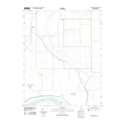 2010 Bayouville2010 Print · USGSMississippi County, Missouri, is captured at the turn of the century as a landscape of river landings and flood-control engineering. Traces of rural life are preserved at Pinhook, Sugar Tree Ridge, and the Barker Cemetery along the banks of James Bayou.
 - 2010 Map of Wyatt, 2010 Print
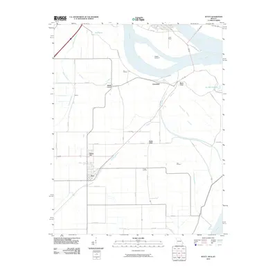 2010 Wyatt2010 Print · USGSThe convergence of the Ohio and Mississippi Rivers dominates this Missouri and Illinois borderland during the early twenty-first century. Genealogists and local historians can trace small river-plain settlements like Wilson City and Wyatt or locate family plots at Bird Cemetery and Allen Cemetery.
 - 2010 Map of Arlington, 2010 Print
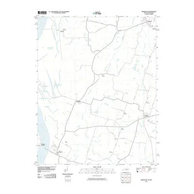 2010 Arlington2010 Print · USGSWestern Kentucky's riverfront and agricultural heartland are shown here in the years following the millennium. Genealogists and historians can trace family locations through numerous named sites like Taylor Cemetery, Belmont Landing, and Allred Cemetery.
 - 2010 Map of Wickliffe, 2010 Print
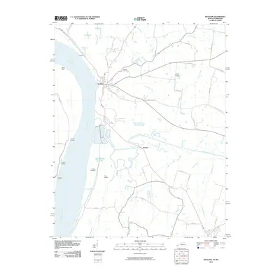 2010 Wickliffe2010 Print · USGSThe Kentucky-Missouri borderlands along the Mississippi River come to life in this early twenty-first-century survey. Local historians can trace river landings and rural roots through features like Pritchard Landing, Winford, and the Harrison-Hughes Cemetery.
 - 2010 Map of Wolf Island, 2010 Print
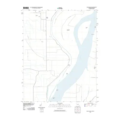 2010 Wolf Island2010 Print · USGSThe Missouri-Kentucky borderlands along the Mississippi River are captured here in the early twenty-first century. Genealogists and historians can locate numerous burial sites such as Ivie Cemetery and Lee Cemetery near the settlement of Wolf Island.
 - 2010 Map of Wickliffe SW, 2010 Print
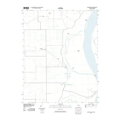 2010 Wickliffe SW2010 Print · USGSThe Mississippi River lowlands of Missouri and Kentucky appear here just after the turn of the millennium. Researchers can trace family history through the O'Bryan Cemetery and explore river-bound landmarks like Lucas Bend and O'Bryan Landing.
 - 2010 Map of Cairo, 2010 Print
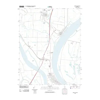 2010 Cairo2010 Print · USGSThe confluence of the Ohio and Mississippi Rivers is captured here in the early twenty-first century as it borders Illinois, Kentucky, and Missouri. Genealogists and historians can trace the developments of Cairo, Mound City, and Future City, alongside significant sites like the Mound City National Cemetery.
 - 2010 Map of Bondurant, 2010 Print
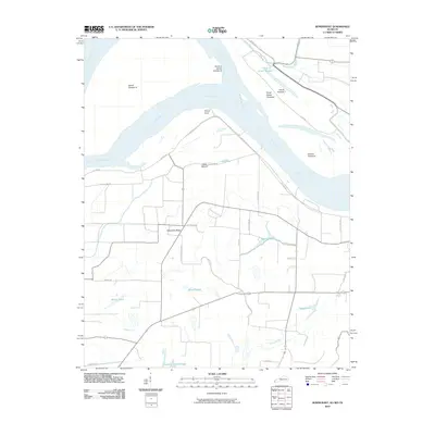 2010 Bondurant2010 Print · USGSNear the tri-state junction in the early twenty-first century, this landscape reveals the deep history of the river's shifting channels and early inhabitants. Researchers can locate the ancient Indian Mound or trace the geography of the Mississippi River through features like Island Number 7 and Sassafras Ridge.
 - 2010 Map of Hickman, 2010 Print
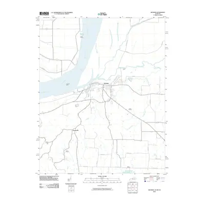 2010 Hickman2010 Print · USGSThe riverfront town of Hickman and the surrounding borderlands of the Mississippi are captured here in the early twenty-first century. Researchers can trace rural family roots at Barnett Cemetery or follow the old tracks of State Line Rd near Lester.
 - 2012 Map of Wyatt, 2012 Print
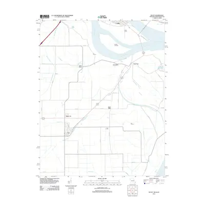 2012 Wyatt2012 Print · USGSThe confluence of the Ohio and Mississippi Rivers is captured here in the early twenty-first century. Genealogists and local historians can trace family roots through Bird Cemetery and Allen Cemetery or locate the settlements of Wyatt and Wilson City.
 - 2012 Map of Wickliffe SW, 2012 Print
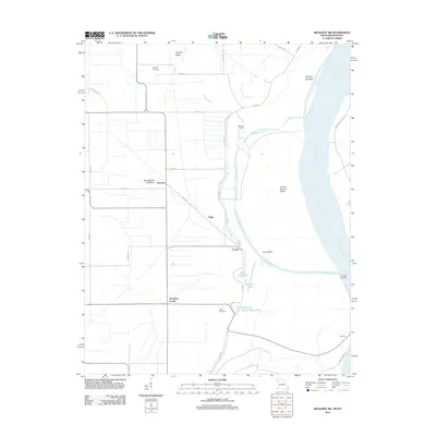 2012 Wickliffe SW2012 Print · USGSMissouri's river bottomlands are captured here in the early twenty-first century, showing a landscape defined by the shifting currents of the Mississippi River. Genealogists and historians can trace family roots near Deventer or locate riverside landmarks like O'Bryan Landing and Thirtyfour Corner.
 - 2012 Map of Sikeston North, 2012 Print
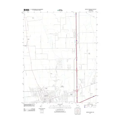 2012 Sikeston North2012 Print · USGSSikeston and the northern Scott County plains are captured here in the early twenty-first century as urban growth meets traditional farmland. Researchers can locate family heritage sites like Cobb Cemetery or trace the layout of small communities like McMullin and Miner.
 - 2012 Map of Bayouville, 2012 Print
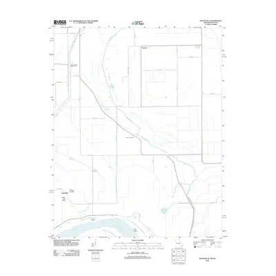 2012 Bayouville2012 Print · USGSThe Mississippi River floodplain comes into focus in this modern survey of the Missouri-Kentucky borderlands. Researchers can trace local lineage at Barker Cemetery or locate historic river access points like Dry Bayou Landing and Three States Landing.
 - 2012 Map of Sikeston South, 2012 Print
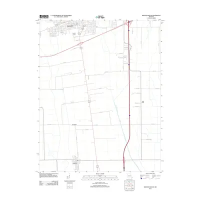 2012 Sikeston South2012 Print · USGSThe Missouri Bootheel near Sikeston is shown here in the early twenty-first century, revealing a landscape of managed waterways and agricultural hubs. Trace the development of Matthews and smaller locales like Champion alongside Saint Johns Ditch.
 - 2012 Map of East Prairie, 2012 Print
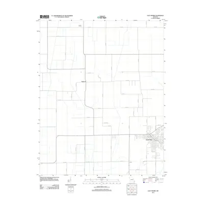 2012 East Prairie2012 Print · USGSEast Prairie and the surrounding Mississippi County lowlands are captured here in the early twenty-first century. Genealogists and local historians can trace family locations near Armour Cemetery or throughout the settlements of Dogwood and Defield.
 - 2012 Map of Wolf Island, 2012 Print
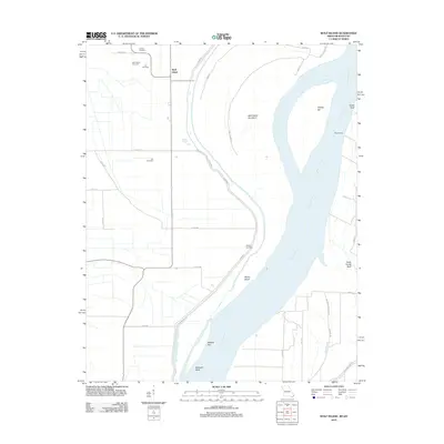 2012 Wolf Island2012 Print · USGSThe Missouri-Kentucky borderlands along the Mississippi River are captured here in the early twenty-first century. Genealogists can trace family roots at Wolf Island Cemetery or Lee Cemetery, while river historians can locate Medley Landing and Beckwith Bend.
 - 2012 Map of Charleston, 2012 Print
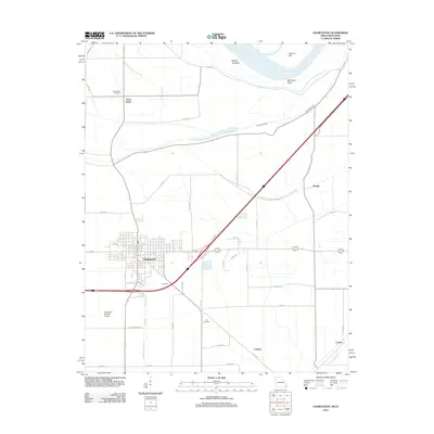 2012 Charleston2012 Print · USGSMissouri's Bootheel region is captured here in the early twenty-first century as the town of Charleston balances its civic grid with the surrounding river-bottom lands. Genealogists and local researchers can locate Texas Bend Cemetery, Lee Cemetery, and the riverfront terrain of Dog Tooth Bend.
 - 2012 Map of Bertrand, 2012 Print
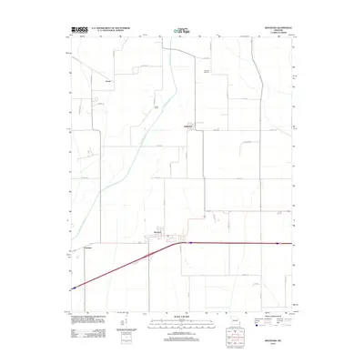 2012 Bertrand2012 Print · USGSMississippi County at the start of the 2010s reveals a structured agricultural landscape shaped by significant drainage projects. Trace local heritage and land use through the sites of Maynard Cemetery, the settlement of Diehlstadt, and the waters of North Cut Ditch.
 - 2012 Map of Anniston, 2012 Print
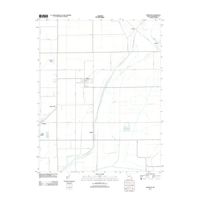 2012 Anniston2012 Print · USGSThe Missouri Bootheel in the early 2010s shows a landscape defined by industrial-scale drainage and small agricultural hubs. Researchers can trace rural community footprints from Anniston and Pulltight to the intricate water systems of Black Bayou and Rice Pond.
 - 2012 Map of Henderson Mound, 2012 Print
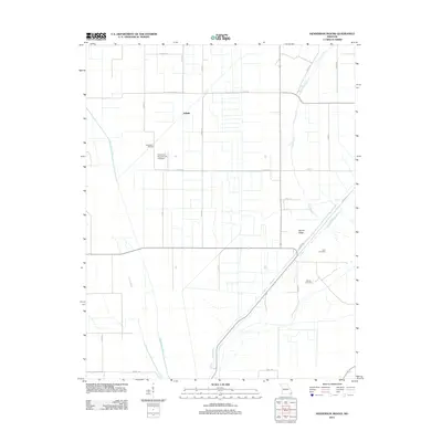 2012 Henderson Mound2012 Print · USGSNew Madrid County's agricultural landscape is seen here in the early twenty-first century, showing the intricate network of drainage ditches and county roads. Researchers can locate family landmarks like Cole Cemetery and Barnes Cemetery or trace the path of Black Bayou.
 - 2012 Map of Cairo, 2012 Print
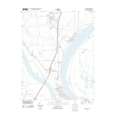 2012 Cairo2012 Print · USGSThe Illinois peninsula comes alive in this modern survey, showing the riverfront settlements where the Ohio and Mississippi meet. Researchers can trace the levee-protected streets of Cairo, find ancestors at the Mound City National Cem, or locate landmarks like Cairo Junction and Future City.
 - 2012 Map of Cache, 2012 Print
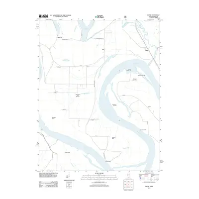 2012 Cache2012 Print · USGSThe Illinois-Missouri borderlands along the Mississippi River are captured here in a period of modern agricultural and conservation management. Genealogists and local historians can trace family locations near Miller City, Schendler Cem, and the ancient Dogtooth Bend Mounds.
 - 2013 Map of Hickman, 2013 Print
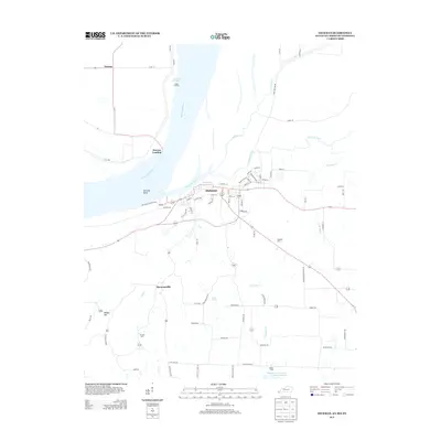 2013 Hickman2013 Print · USGSThe riverfront and agricultural corridors of Fulton County are detailed here in the early twenty-first century. Researchers can trace the legacy of river transit through Old Hickman Ferry Xing or locate family roots at Hubbard Cem and Barnett Cem.
 - 2013 Map of Bondurant, 2013 Print
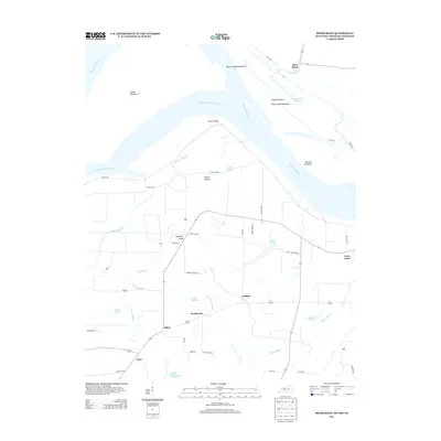 2013 Bondurant2013 Print · USGSThe tri-state border region of the Mississippi River floodplain is captured here in the early twenty-first century. Genealogists and local historians can trace family-named sites and rural settlements like Sassafras Ridge, Bondurant, and the ancient Indian Mound.
 - 2013 Map of Arlington, 2013 Print
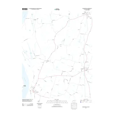 2013 Arlington2013 Print · USGSThe Mississippi River bottoms and the uplands of western Kentucky come alive in this recent survey. Genealogists and local historians can trace family sites like Roselawn Cem and Zook Cem or explore the riverfront at Belmont Landing.
Showing maps 1-25 of 60
Top cities of Mississippi County
- Charleston historical maps
- East Prairie historical maps
- Bertrand historical maps
- Wyatt historical maps
- Anniston historical maps
- Wilson City historical maps
See more
Frequently asked questions
- What are the different types of historical maps available for Mississippi County?
- What is the oldest map of Mississippi County?
- Where can I purchase historical maps of Mississippi County for my home or office?
- Where can I download high-res historical maps of Mississippi County?
- Are there historical topographic maps available for Mississippi County?
- Is there historical aerial imagery available for Mississippi County?
- Where are historical maps of Mississippi County sourced from?