2020s Maps of New Madrid County, Missouri
Explore 21 historic maps of New Madrid County from the 2020s. These maps offer a rare glimpse into what life looked like during the 2020s — showing old roads, neighborhoods, homes, and landmarks that have changed or disappeared over time.
Whether you're researching your family's past, planning a metal detecting trip, or studying how New Madrid County's landscape evolved across the 2020s, these high-resolution maps are a powerful tool for exploring the history of this region.
- Focus on a specific era: All maps on this page are from the 2020s, giving you a focused view of this time period.
- See what’s changed: Compare century-old streets, trails, and buildings to today's modern landscape using overlays and satellite layers.
- Research with precision: Use these maps for genealogy, historical research, land use analysis, or educational projects.
- View, download, or print: Maps are fully viewable online in high resolution, and can be downloaded or printed for your own records.
Start exploring New Madrid County's history through authentic maps from the 2020s. This is your window into the past.
New Madrid County, MO maps
(21)- 2021 Map of Charter Oak, 2021 Print
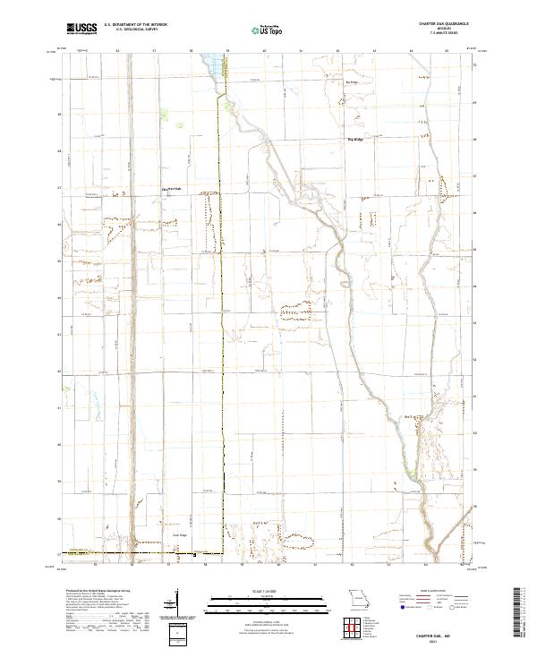 2021 Charter Oak2021 Print · USGSStoddard and New Madrid counties at the start of the 2020s show a landscape shaped by rural industry and water management. Genealogists and local historians can trace family roots near Charter Oak, Big Ridge, and the Simmons Cem.
 - 2021 Map of Point Pleasant, 2021 Print
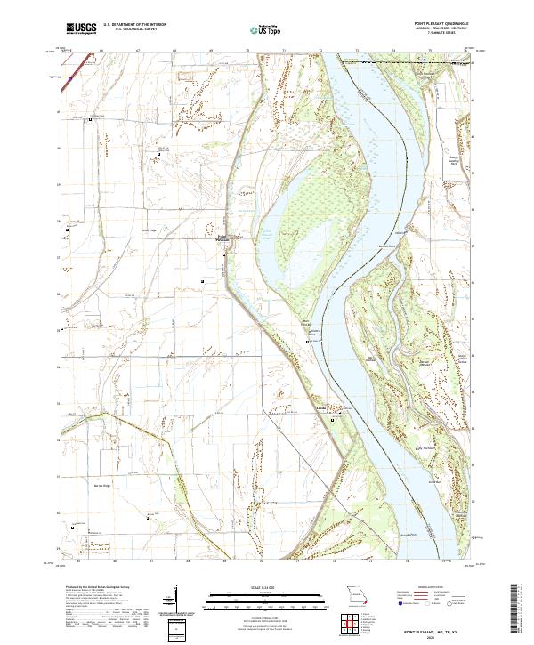 2021 Point Pleasant2021 Print · USGSThe riverfront of New Madrid County and the tri-state borders come into focus in this contemporary survey of the Mississippi River's bend. Genealogists and local historians can trace family land near Point Pleasant and several rural burial grounds like Yount Cem or Riddles Cem.
 - 2021 Map of Bayouville, 2021 Print
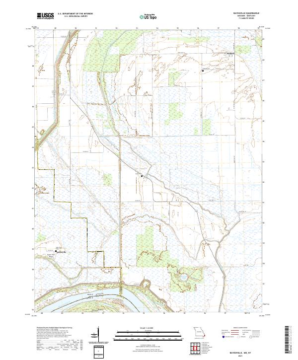 2021 Bayouville2021 Print · USGSThe Missouri-Kentucky borderlands along the Mississippi River are shown here in the early twenty-first century. Genealogists can locate family names at Pinhook Cem and Sugar Tree Ridge, or trace the river's path past Island Number 8.
 - 2021 Map of Malden, 2021 Print
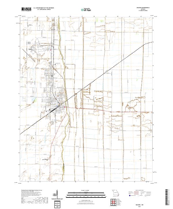 2021 Malden2021 Print · USGSThe Missouri Bootheel's engineered landscape is on full display here in the early 2020s, showing a grid of drainage canals and airfields. Researchers can locate local burial grounds like Stevens Chapel Cem and trace the agricultural footprint near Townley and Providence.
 - 2021 Map of Catron, 2021 Print
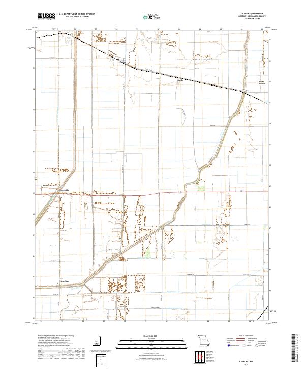 2021 Catron2021 Print · USGSNew Madrid County's reclaimed lowlands are documented here in the early twenty-first century, showing a landscape defined by industrial-scale drainage. Researchers can trace rural settlement patterns and water management history through sites like Catron, Lone Star, and the complex Main Ditch system.
 - 2021 Map of East Prairie, 2021 Print
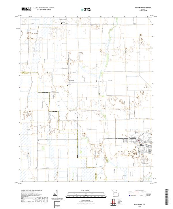 2021 East Prairie2021 Print · USGSSoutheast Missouri's agricultural heartland is documented here in the early twenty-first century, showing the reclaimed lands of the Bootheel. Genealogists and local historians can locate East Prairie and the Dogwood Cem, alongside the complex drainage of Maple Slough Ditch.
 - 2021 Map of Henderson Mound, 2021 Print
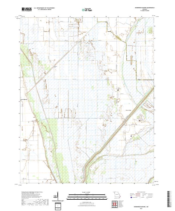 2021 Henderson Mound2021 Print · USGSThe Missouri Bootheel's agricultural landscape is shown here in the 2020s, defined by the complex drainage networks of the Mississippi and New Madrid county border. Genealogists can locate family sites such as Barnes Ridge Cem, Cole Cem, and Farrenburg.
 - 2021 Map of Morehouse, 2021 Print
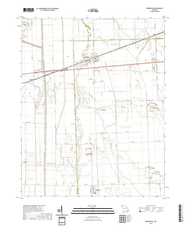 2021 Morehouse2021 Print · USGSSoutheast Missouri’s Bootheel region is documented here in the early twenty-first century, showcasing the intersection of three counties. Researchers can trace the drainage patterns of Little River and locate small communities like Canalou, Delmo, and Morehouse.
 - 2021 Map of Bernie, 2021 Print
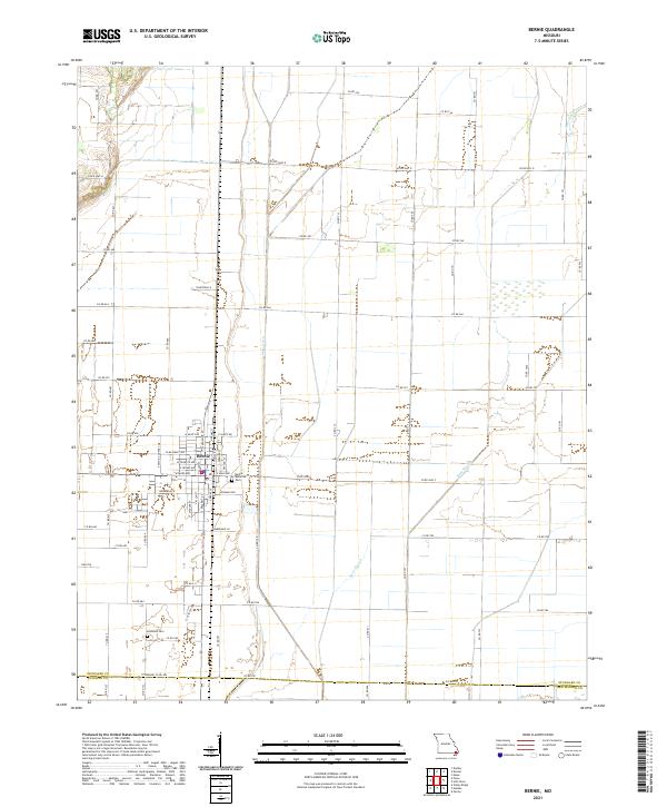 2021 Bernie2021 Print · USGSBernie and the surrounding Stoddard County lowlands are captured here in the early twenty-first century. Genealogists and researchers can locate family plots at Bernie Memorial Cem and Edmonds Cem or trace the drainage paths of Main Ditch and Bess Slough.
 - 2021 Map of Sikeston South, 2021 Print
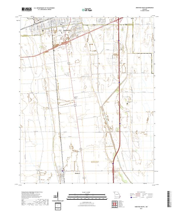 2021 Sikeston South2021 Print · USGSSikeston and the surrounding Bootheel plains are captured here in the early twenty-first century as the region continues its legacy of agriculture and transport. Researchers can trace local burial sites like Little Vine Cem or follow the path of Saint Johns Ditch through Matthews.
 - 2021 Map of Portageville, 2021 Print
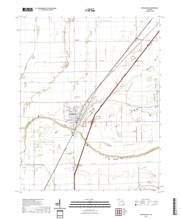 2021 Portageville2021 Print · USGSThe Missouri Bootheel near the Pemiscot County line is shown here in the early twenty-first century, centered on the grid of Portageville. Genealogists can locate over a dozen burial sites including Smith-Ellis Cem, Arbuckle Cem, and the Alley- Black Cem.
 - 2021 Map of Boekerton, 2021 Print
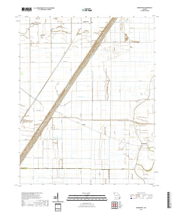 2021 Boekerton2021 Print · USGSThe Missouri Bootheel landscape appears here in its modern agricultural form, dominated by a vast network of drainage canals. Genealogists and local historians can trace the rural layout of Boekerton, Tallapoosa, and Hartzell, along with landmarks like Huie Grove.
 - 2021 Map of Kewanee, 2021 Print
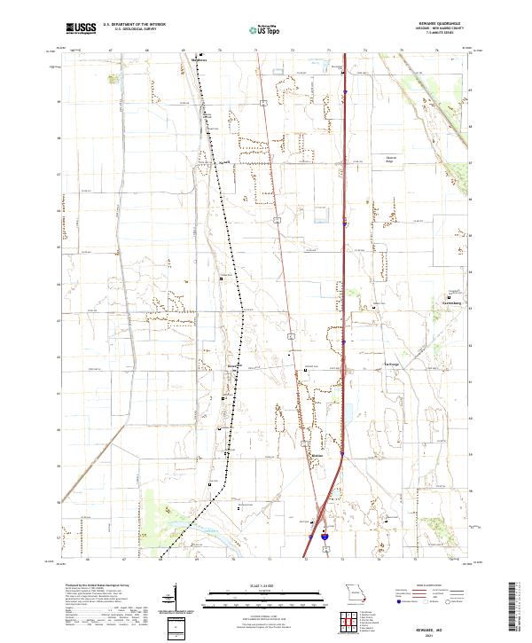 2021 Kewanee2021 Print · USGSNew Madrid County's Bootheel landscape is shown here in the early twenty-first century, revealing an area defined by agricultural drainage and ridge-top settlements. Genealogists can locate family landmarks like Farrenburg Brethren Cem and Malone Airfield near Kewanee.
 - 2021 Map of Gideon, 2021 Print
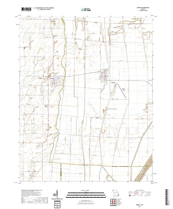 2021 Gideon2021 Print · USGSIn the heart of the Missouri Bootheel, this contemporary survey captures a landscape defined by industrial drainage and small-town Missouri life. Researchers can trace the tri-county borders while locating Mount Gilead Cem, Stanfield Cem, and the streets of Clarkton and Gideon.
 - 2021 Map of Hills Store, 2021 Print
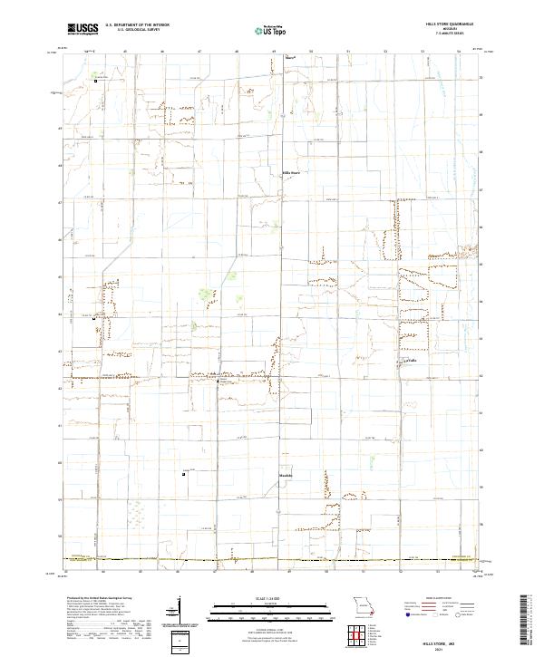 2021 Hills Store2021 Print · USGSStoddard County's managed waterways and rural crossroads are captured in this recent survey of the Missouri Bootheel. Genealogists and local historians can locate family landmarks like Stones Chapel Cem or trace the drainage networks of Main Ditch and the Upper Castor River.
 - 2021 Map of New Madrid, 2021 Print
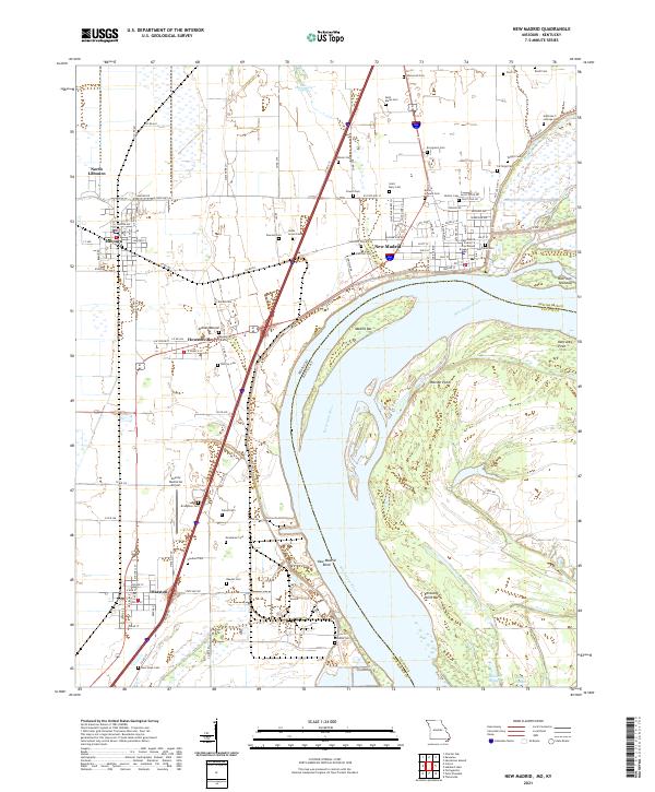 2021 New Madrid2021 Print · USGSThe Mississippi River forms its famous bend here in the early 2020s, shaping a landscape of riverfront towns and ancient earthworks. Genealogists can trace family names at Evergreen Cem or Hatcher Cem, and explore the site of the Indian Mound.
 - 2021 Map of Parma, 2021 Print
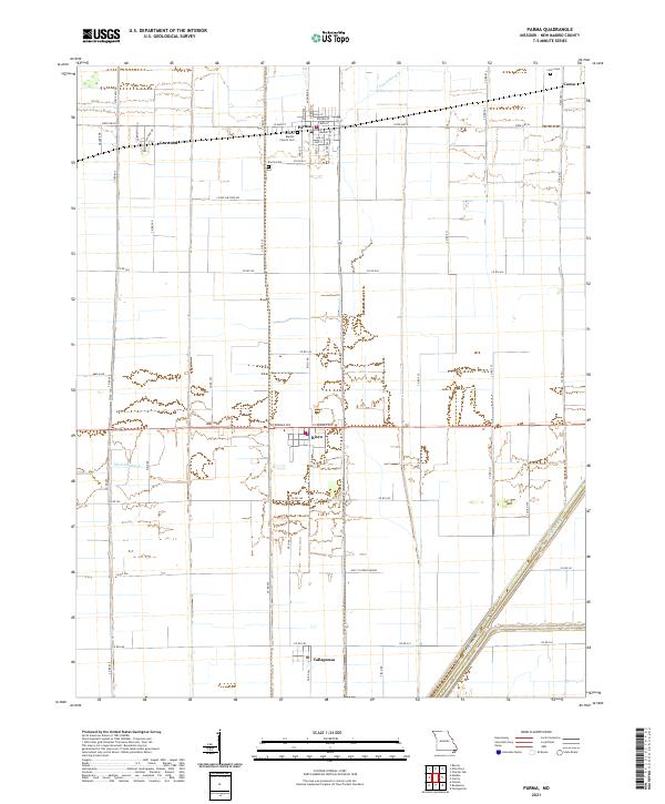 2021 Parma2021 Print · USGSThe northern reaches of the Missouri Bootheel are captured here in the early twenty-first century, showing a landscape of structured agriculture and small rail-side towns. Genealogists can locate family landmarks in Parma, Risco, and Tallapoosa, including the General Baptist Church and Parma Cemetery.
 - 2021 Map of Hubbard Lake, 2021 Print
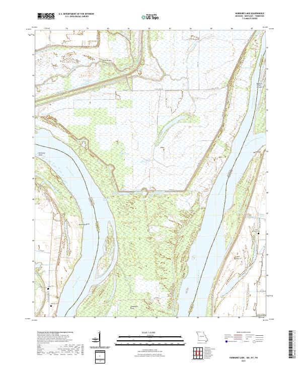 2021 Hubbard Lake2021 Print · USGSThe Missouri-Kentucky borderlands along the Mississippi River are shown here in 2021. Genealogists can locate family sites at Lake Chapel Cem and Whitson Cem or trace the unique geography of the Kentucky Bend.
 - 2022 Map of Mooring, 2022 Print
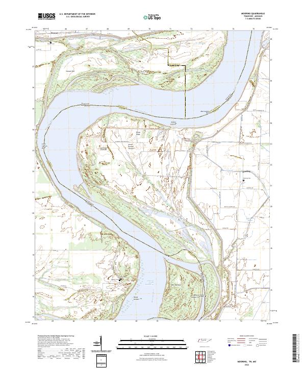 2022 Mooring2022 Print · USGSThe Tennessee-Missouri borderlands along the Mississippi River are captured here in the early twenty-first century. Genealogists and local historians can trace family sites at Stewart Cem and Mooring, or follow the shifting river banks at Island Number Thirteen.
 - 2022 Map of Tiptonville, 2022 Print
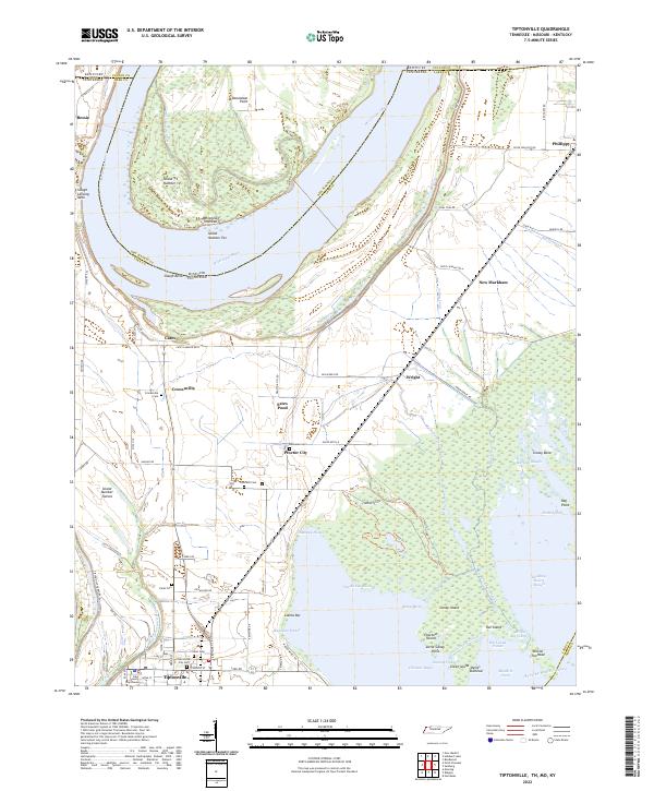 2022 Tiptonville2022 Print · USGSTiptonville and the Mississippi River bottoms of Lake County are captured here in the early twenty-first century as agricultural life continues alongside the shifting river. Researchers can trace ancestral locations near Cronanville and Phillippy, or locate the Lake County Courthouse and Citizen Cem.
 - 2022 Map of Bondurant, 2022 Print
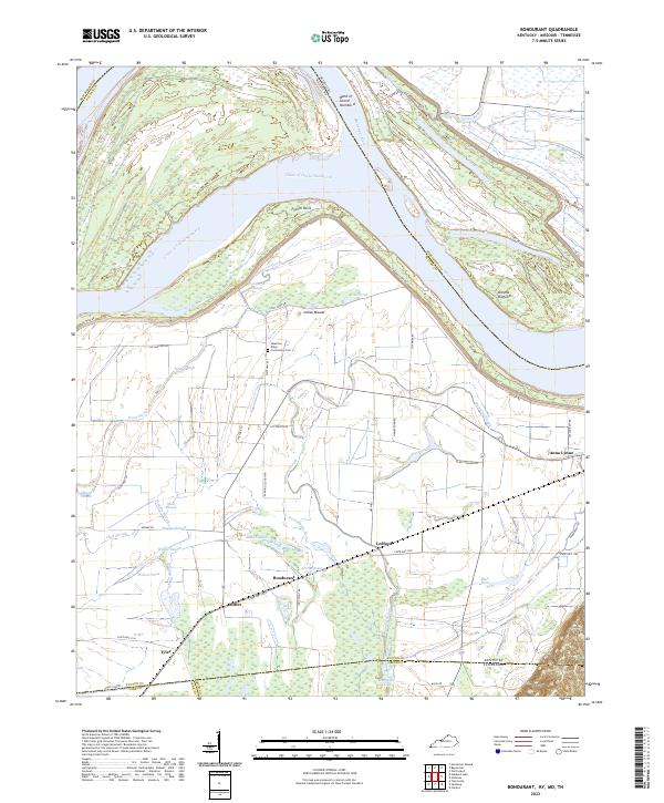 2022 Bondurant2022 Print · USGSThe Mississippi River bottomlands of Kentucky and Tennessee are mapped here during the early 2020s, showing a landscape defined by alluvial plains and flood control. Researchers can trace family roots through the Sassafras Ridge Community Cem or locate the historic sites of Bondurant and Tyler among the winding channels of Hogpen Slough and Willow Pond.
End of results
Showing maps 1-21 of 21
Top cities of New Madrid County
- New Madrid historical maps
- Lilbourn historical maps
- Gideon historical maps
- Morehouse historical maps
- Parma historical maps
- Matthews historical maps
See more
Frequently asked questions
- What are the different types of historical maps available for New Madrid County?
- What is the oldest map of New Madrid County?
- Where can I purchase historical maps of New Madrid County for my home or office?
- Where can I download high-res historical maps of New Madrid County?
- Are there historical topographic maps available for New Madrid County?
- Is there historical aerial imagery available for New Madrid County?
- Where are historical maps of New Madrid County sourced from?