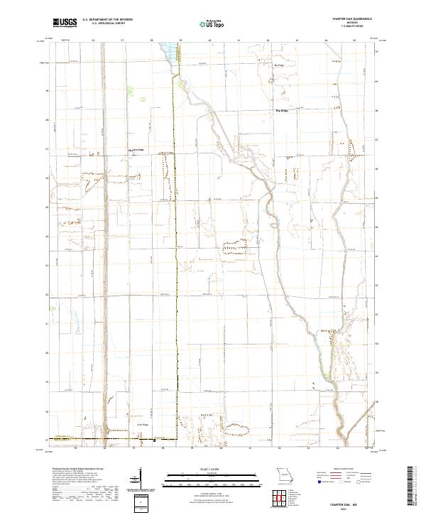
2021 Map of Charter Oak
USGS Topo · Published 2021About this map
The agricultural landscape at the border of Stoddard and New Madrid counties is defined by a dense grid of section roads and drainage channels. Named settlements like Charter Oak and Big Ridge sit among vast cultivated fields, linked by a system of State Highways including State Hwy CC and State Hwy A. These small clusters of residency reflect the long-standing farming heritage of the Missouri Bootheel, where the land is meticulously partitioned for production.
Find a feature on this map
37 named features on this map. Tap any name to fly to it.
Don’t see what you’re looking for? This feature index may not catch every label — zoom into the map to look around manually.
Map Details
Editions of this 2021 Charter Oak Map
This is the sole edition of this map. No revisions or reprints were ever made.
Other maps of this area

1931 · Sikeston
USGS Topo · 1:62,500

1934 · Bloomfield
USGS Topo · 1:62,500

1934 · Sikeston
USGS Topo · 1:62,500

1939 · Bloomfield
USGS Topo · 1:62,500

1939 · Sikeston
USGS Topo · 1:62,500

1939 · New Madrid
USGS Topo · 1:62,500

1940 · Malden
USGS Topo · 1:62,500

1949 · Bloomfield
USGS Topo · 1:62,500

1951 · New Madrid SE
USGS Topo · 1:24,000

1954 · New Madrid
USGS Topo · 1:62,500