2020s Maps of Oregon County, Missouri
Explore 33 historic maps of Oregon County from the 2020s. These maps offer a rare glimpse into what life looked like during the 2020s — showing old roads, neighborhoods, homes, and landmarks that have changed or disappeared over time.
Whether you're researching your family's past, planning a metal detecting trip, or studying how Oregon County's landscape evolved across the 2020s, these high-resolution maps are a powerful tool for exploring the history of this region.
- Focus on a specific era: All maps on this page are from the 2020s, giving you a focused view of this time period.
- See what’s changed: Compare century-old streets, trails, and buildings to today's modern landscape using overlays and satellite layers.
- Research with precision: Use these maps for genealogy, historical research, land use analysis, or educational projects.
- View, download, or print: Maps are fully viewable online in high resolution, and can be downloaded or printed for your own records.
Start exploring Oregon County's history through authentic maps from the 2020s. This is your window into the past.
Oregon County, MO maps
(33)- 2020 Map of Hardy NE, 2020 Print
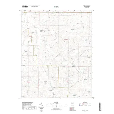 2020 Hardy NE2020 Print · USGSCovers Oregon County, including Randolph County, Sharp County, and other nearby areas
 - 2020 Map of Mammoth Spring, 2020 Print
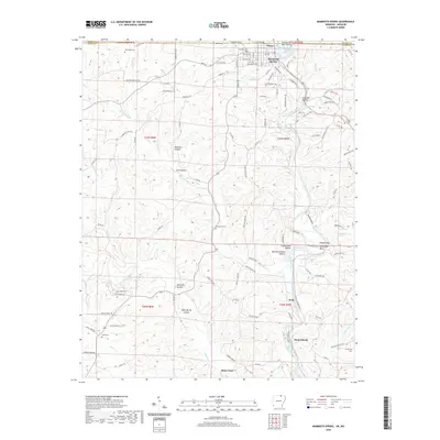 2020 Mammoth Spring2020 Print · USGSCovers Oregon County, including Mammoth Spring, Baker Ford, and other nearby areas
 - 2020 Map of Dalton, 2020 Print
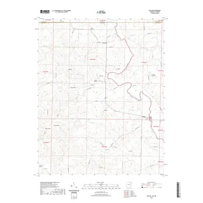 2020 Dalton2020 Print · USGSCovers Oregon County, including Dalton, Elm Store, and other nearby areas
 - 2020 Map of Camp, 2020 Print
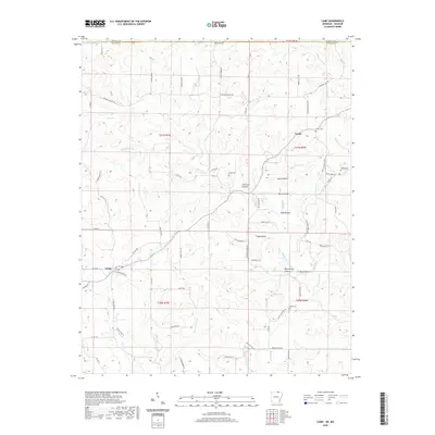 2020 Camp2020 Print · USGSCovers Oregon County, including Camp, Fryatt, and other nearby areas
 - 2020 Map of Wirth, 2020 Print
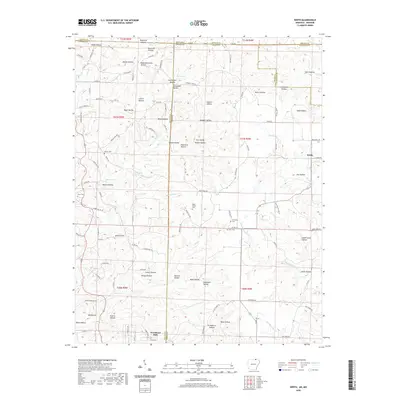 2020 Wirth2020 Print · USGSCovers Oregon County, including Wirth, Woodland Hills, and other nearby areas
 - 2021 Map of Billmore, 2021 Print
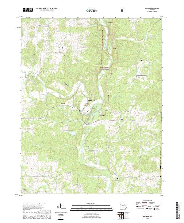 2021 Billmore2021 Print · USGSOregon County, Missouri, is shown here as a dense network of Ozark springs and hollows within the Mark Twain National Forest. Researchers can locate old community centers like Billmore and Calm alongside local landmarks such as The Narrows and Liberty Cem.
 - 2021 Map of Montier, 2021 Print
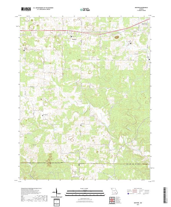 2021 Montier2021 Print · USGSShannon County at the start of the 2020s shows a landscape of deep hollows and high ridges centered on the settlement of Montier. Genealogists can trace numerous local burial grounds like New Salem Cem, Bethlehem Cem, and Pleasant Grove Cem along the rural roads.
 - 2021 Map of Fremont, 2021 Print
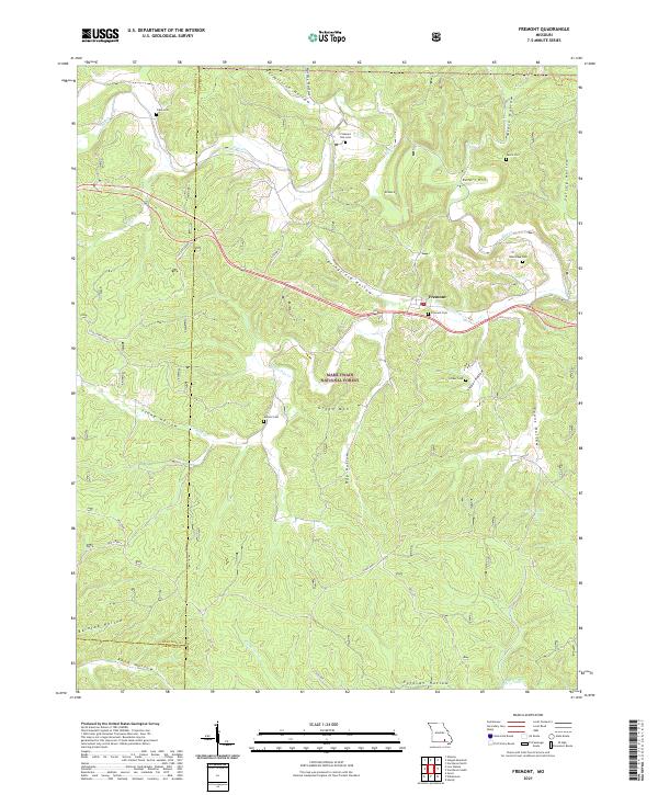 2021 Fremont2021 Print · USGSFremont and the surrounding Ozark woodlands appear in detail during the early 2020s, revealing a landscape of remote cemeteries and historic transport paths. Researchers can trace family sites like Evaline Cem and Snider Cem or locate the route of the OLD TRAM.
 - 2021 Map of Couch, 2021 Print
 2021 Couch2021 Print · USGSThe Oregon County backcountry near Couch comes into focus in this recent study of the Missouri Ozarks. Genealogists can trace family footprints through numerous rural burial sites like Union Hill Cem and historic water sources including Underwood Spring and Eldorado Spring.
 - 2021 Map of Birch Tree, 2021 Print
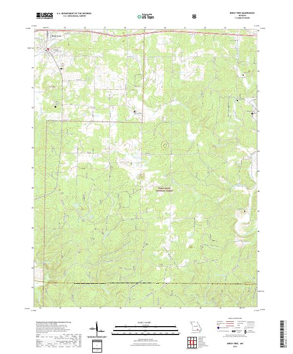 2021 Birch Tree2021 Print · USGSThe northern Ozarks come into focus here in the early twenty-first century, centered on the settlement of Birch Tree. Genealogists and local historians can trace legacy sites across the wooded hollows, including Oak Forest Cem, Williams Cem, and the secluded Mine Hollow.
 - 2021 Map of Rover, 2021 Print
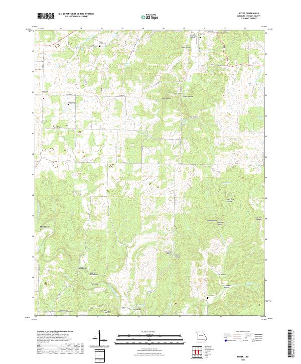 2021 Rover2021 Print · USGSThe rural hills of Oregon County appear here in the early twenty-first century, centered on the settlement of Rover. Researchers can trace old family burial grounds like the Jolliff Graveyard and historic river crossings at Elliot Ford and Culp Ford.
 - 2021 Map of Myrtle, 2021 Print
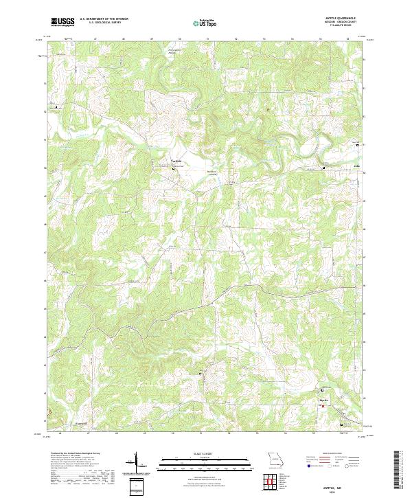 2021 Myrtle2021 Print · USGSThe rural landscape near the Arkansas border comes into focus in this late-period survey of Oregon County. Researchers can trace family history through several burial sites like Garfield Cemetery and Jobe Cemetery, or explore the many landmarks along Mill Creek.
 - 2021 Map of Peace Valley, 2021 Print
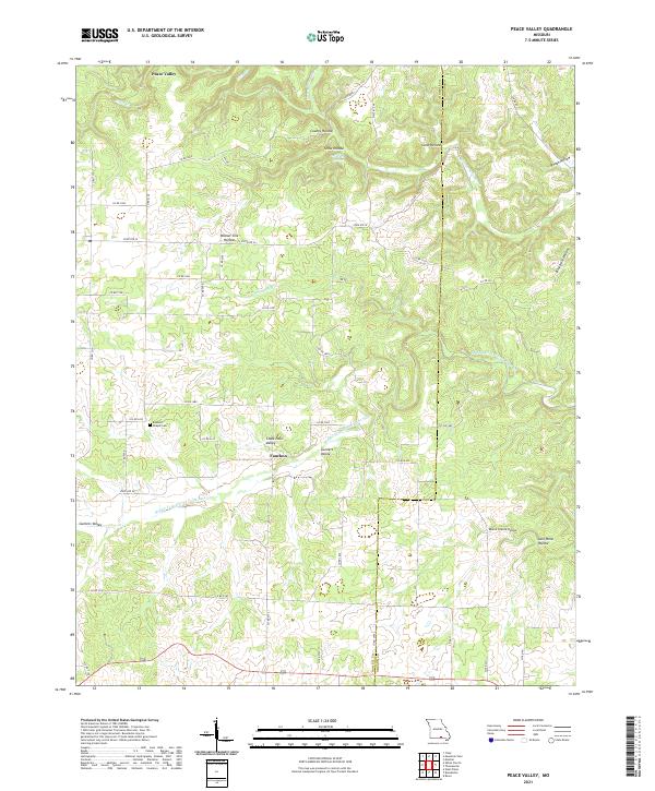 2021 Peace Valley2021 Print · USGSHowell and Oregon counties at the start of the 2020s show a landscape of deep hollows and the spring-fed Eleven Point River system. Genealogists and local historians can trace family locations near Bennett Chapel Cem or the settlements of Peace Valley and Fanchon.
 - 2021 Map of Brandsville, 2021 Print
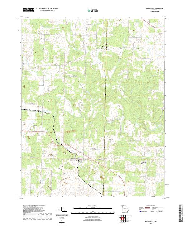 2021 Brandsville2021 Print · USGSSettled along the Howell and Oregon county line, this modern Ozark survey captures the rural character of the Brandsville area. Genealogists can locate several historic burial sites, including Elk Creek Cem and Francis Cem, near the waters of Big Greasy Creek.
 - 2021 Map of Koshkonong, 2021 Print
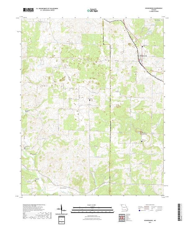 2021 Koshkonong2021 Print · USGSKoshkonong and the rugged borderlands of Howell and Oregon counties appear here in great detail during the early twenty-first century. Genealogists can trace family burial sites at Mint Spring Graveyard and Shiloh Cem or explore the geography of Grand Gulf Natural Bridge.
 - 2021 Map of Thayer, 2021 Print
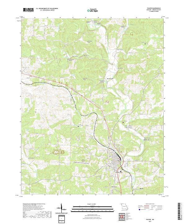 2021 Thayer2021 Print · USGSThayer and the surrounding hollows of Oregon County are captured here in the early twenty-first century. Genealogists and local historians can trace family landmarks like Walker Cem, navigate the crossings at Sloan Ford, and explore the distinct districts of Old Town and Green Town.
 - 2021 Map of Riverton, 2021 Print
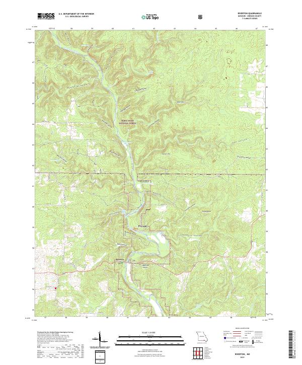 2021 Riverton2021 Print · USGSThe Eleven Point River valley in southern Missouri remains a landscape of springs and deep hollows in the early twenty-first century. Genealogists and historians can trace the geography around Riverton and locate the historic site of Boze Mill or family-named landmarks like Conner Hill.
 - 2021 Map of Mountain View, 2021 Print
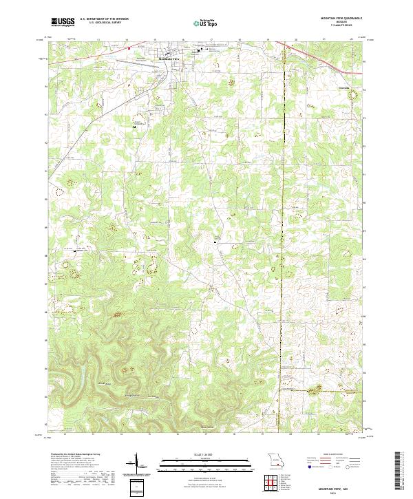 2021 Mountain View2021 Print · USGSThe northern Ozarks come into focus in the early 2020s as Mountain View thrives along its central transportation corridors. Local historians can trace the town's expansion toward Mountain View Airport and locate several rural burial grounds like Chapel Hill Cem and Ebenezer Cem.
 - 2021 Map of Piedmont Hollow, 2021 Print
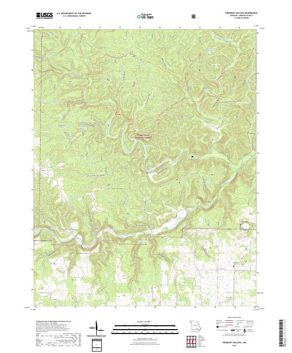 2021 Piedmont Hollow2021 Print · USGSOregon County is captured in this recent survey, showcasing the natural corridor of the Eleven Point Wild and Scenic River. Genealogists and local historians can locate Spring Creek Cem and Hickory Grove Cem among the ridges of Devils Backbone.
 - 2021 Map of Thomasville, 2021 Print
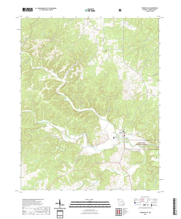 2021 Thomasville2021 Print · USGSThomasville and the Eleven Point River valley are documented here in the early twenty-first century. Researchers can trace family history through local burial sites like Lane Cem and Woodside Cem or locate natural landmarks like Bill Mac Spring.
 - 2021 Map of Handy, 2021 Print
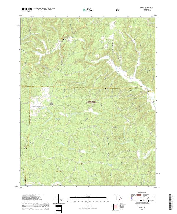 2021 Handy2021 Print · USGSThe Ozark highlands at the meeting of Ripley, Carter, and Oregon Counties are mapped here in the modern era. Researchers can trace local heritage through Handy Cem and Bristol Cem or explore landmarks like Cupola Pond and Devils Horn.
 - 2021 Map of Low Wassie, 2021 Print
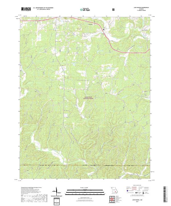 2021 Low Wassie2021 Print · USGSThe Missouri Ozarks are captured here in the early twenty-first century, showing the forest and hollows of Shannon County. Genealogists and researchers can locate Mount Zion Cem near Winona or trace the winding paths of Possum Trot and the Old Tram.
 - 2021 Map of Gatewood, 2021 Print
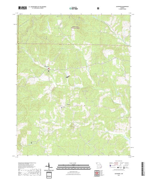 2021 Gatewood2021 Print · USGSRipley County, Missouri, is captured in the early 2020s as a landscape of Ozark forests and remote settlements. Researchers can trace family history at the Gatewood Cem and New Home Cem or follow the waters of the Middle Fork Fourche Cr.
 - 2021 Map of Wilderness, 2021 Print
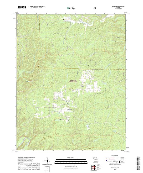 2021 Wilderness2021 Print · USGSThe Missouri Ozarks are showcased here as they appeared in 2021, centered on the rural community of Wilderness and the Mark Twain National Forest. Genealogists and researchers can trace local family landmarks through the Wilderness Cem or follow the path of the Eleven Point Wild and Scenic River past Horseshoe Bend.
 - 2021 Map of Alton, 2021 Print
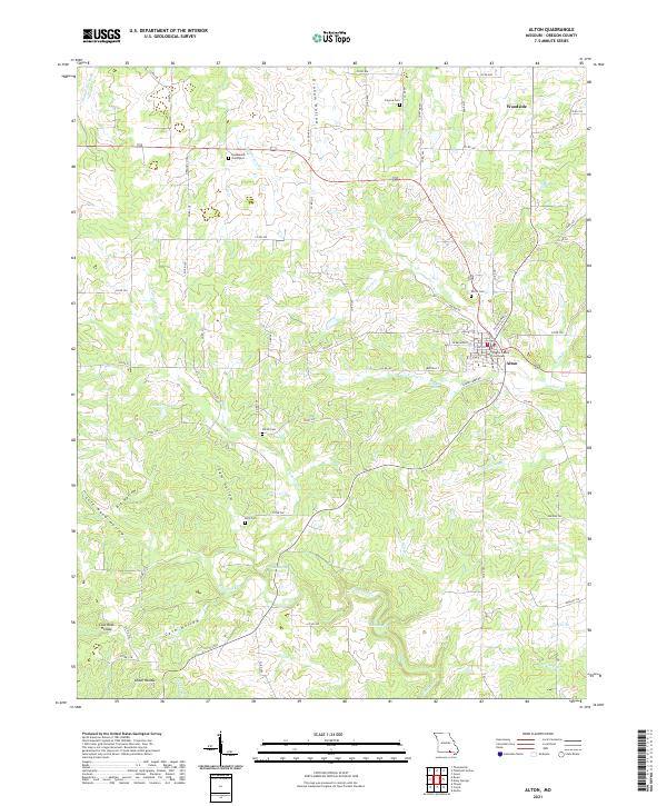 2021 Alton2021 Print · USGSAlton and the surrounding Oregon County highlands are mapped in detail during the early 2020s, showing a landscape of deep hollows and rural cemeteries. Researchers can trace family origins at the Huddleston Graveyard and Shiloh Cemetery or locate the historic Oregon County Courthouse.
Showing maps 1-25 of 33
Top cities of Oregon County
Frequently asked questions
- What are the different types of historical maps available for Oregon County?
- What is the oldest map of Oregon County?
- Where can I purchase historical maps of Oregon County for my home or office?
- Where can I download high-res historical maps of Oregon County?
- Are there historical topographic maps available for Oregon County?
- Is there historical aerial imagery available for Oregon County?
- Where are historical maps of Oregon County sourced from?