2000s (21st Century) Maps of Oregon County, Missouri
Explore 117 historic maps of Oregon County from the 2000s (21st Century). These maps offer a rare glimpse into what life looked like during the 2000s — showing old roads, neighborhoods, homes, and landmarks that have changed or disappeared over time.
Whether you're researching your family's past, planning a metal detecting trip, or studying how Oregon County's landscape evolved across the 2000s, these high-resolution maps are a powerful tool for exploring the history of this region.
- Focus on a specific era: All maps on this page are from the 2000s, giving you a focused view of this time period.
- See what’s changed: Compare century-old streets, trails, and buildings to today's modern landscape using overlays and satellite layers.
- Research with precision: Use these maps for genealogy, historical research, land use analysis, or educational projects.
- View, download, or print: Maps are fully viewable online in high resolution, and can be downloaded or printed for your own records.
Start exploring Oregon County's history through authentic maps from the 2000s. This is your window into the past.
Oregon County, MO maps
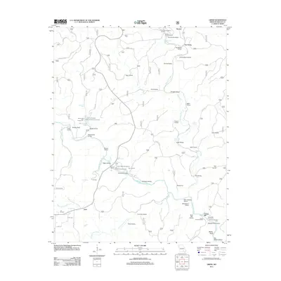
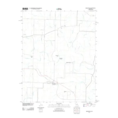
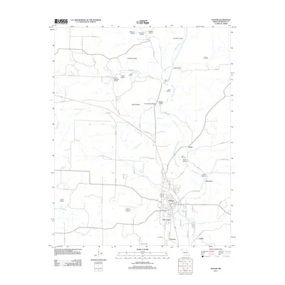
(117)- 2011 Map of Camp, 2011 Print
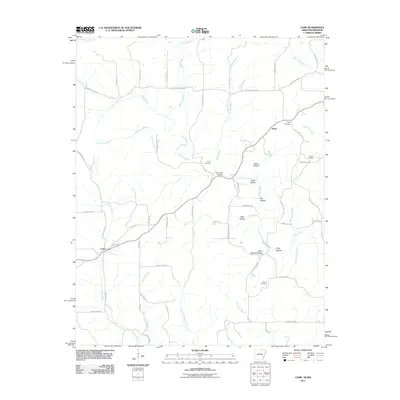 2011 Camp2011 Print · USGSCovers Oregon County, including Camp, Fryatt, and other nearby areas
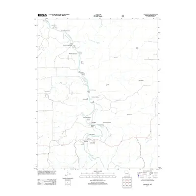
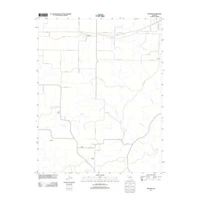
 - 2011 Map of Mammoth Spring, 2011 Print
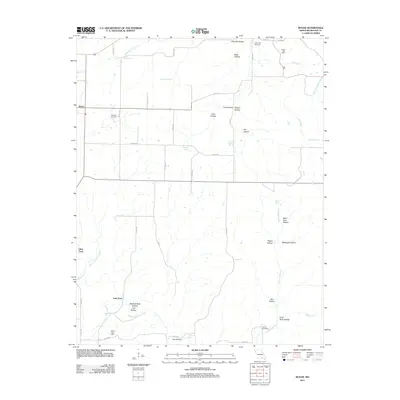
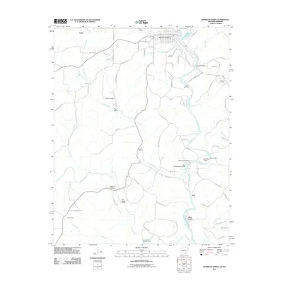 2011 Mammoth Spring2011 Print · USGSCovers Oregon County, including Mammoth Spring, Baker Ford, and other nearby areas
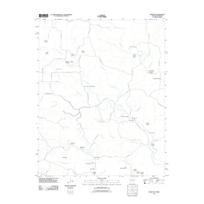
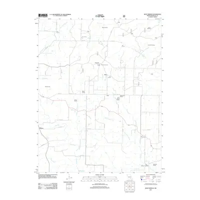
 - 2011 Map of Wirth, 2011 Print
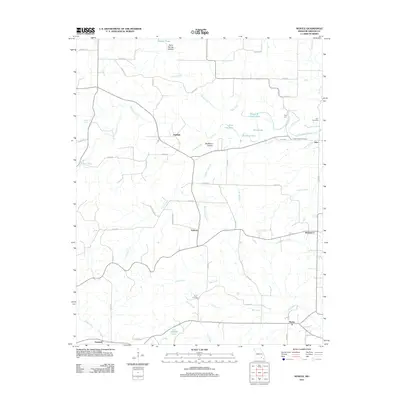
 2011 Wirth2011 Print · USGSCovers Oregon County, including Wirth, Woodland Hills, and other nearby areas
 - 2011 Map of Hardy NE, 2011 Print
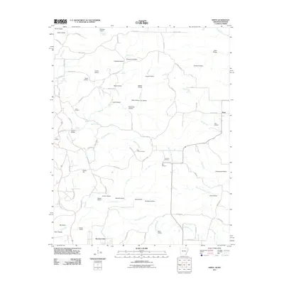
 2011 Hardy NE2011 Print · USGSCovers Oregon County, including Randolph County, Sharp County, and other nearby areas
 - 2011 Map of Dalton, 2011 Print
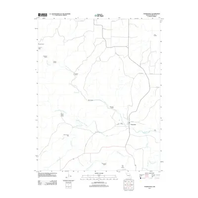
 2011 Dalton2011 Print · USGSCovers Oregon County, including Dalton, Elm Store, and other nearby areas
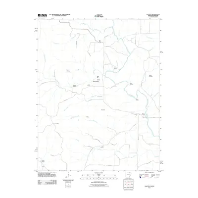
 - 2011 Map of Peace Valley, 2011 Print
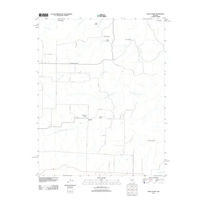 2011 Peace Valley2011 Print · USGSCovers Oregon County, including Fanchon, Peace Valley, and other nearby areas
 - 2011 Map of Couch, 2011 Print
 2011 Couch2011 Print · USGSCovers Oregon County, including Jeff, Corona, and other nearby areas
 - 2011 Map of Fremont, 2011 Print
 2011 Fremont2011 Print · USGSCovers Oregon County, including Fremont, Carter County, and other nearby areas
 - 2011 Map of Greer, 2011 Print
 2011 Greer2011 Print · USGSCovers Oregon County, including Turners Mill, Brawley, and other nearby areas
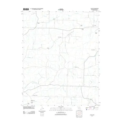
 - 2011 Map of Alton, 2011 Print
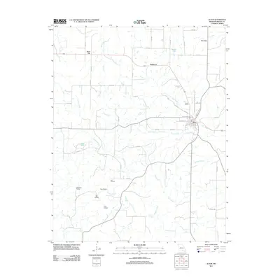 2011 Alton2011 Print · USGSCovers Oregon County, including Alton, Woodside, and other nearby areas
 - 2011 Map of Riverton, 2011 Print
 2011 Riverton2011 Print · USGSCovers Oregon County, including Boze Mill, Riverton, and other nearby areas
 - 2011 Map of Many Springs, 2011 Print
 2011 Many Springs2011 Print · USGSCovers Oregon County, including Simpson, Braswell, and other nearby areas
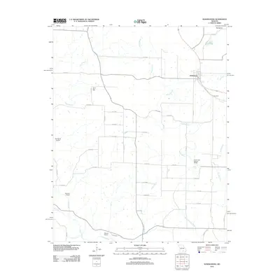
 - 2011 Map of Brandsville, 2011 Print
 2011 Brandsville2011 Print · USGSCovers Oregon County, including Brandsville, Pocohontas Crossing, and other nearby areas
 - 2011 Map of Thomasville, 2011 Print
 2011 Thomasville2011 Print · USGSCovers Oregon County, including Thomasville, United States, and other nearby areas
 - 2011 Map of Myrtle, 2011 Print
 2011 Myrtle2011 Print · USGSCovers Oregon County, including Guiteau, Jobe, and other nearby areas
 - 2011 Map of Rover, 2011 Print
 2011 Rover2011 Print · USGSCovers Oregon County, including Culp Ford, Elliot Ford, and other nearby areas
 - 2011 Map of Thayer, 2011 Print
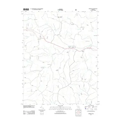
 2011 Thayer2011 Print · USGSCovers Oregon County, including Thayer, Clifton, and other nearby areas
 - 2011 Map of Montier, 2011 Print
 2011 Montier2011 Print · USGSCovers Oregon County, including Birch Tree, Montier, and other nearby areas
 - 2012 Map of Koshkonong, 2012 Print
 2012 Koshkonong2012 Print · USGSCovers Oregon County, including Koshkonong, Howell County, and other nearby areas
 - 2012 Map of Mountain View, 2012 Print
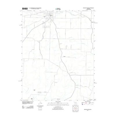 2012 Mountain View2012 Print · USGSCovers Oregon County, including Mountain View, Chapel, and other nearby areas
 - 2012 Map of Gatewood, 2012 Print
 2012 Gatewood2012 Print · USGSCovers Oregon County, including Gatewood, Tucker, and other nearby areas
 - 2012 Map of Handy, 2012 Print
 2012 Handy2012 Print · USGSCovers Oregon County, including Handy, Carter County, and other nearby areas
 - 2012 Map of Piedmont Hollow, 2012 Print
 2012 Piedmont Hollow2012 Print · USGSCovers Oregon County, including United States, Missouri, and other nearby areas
 - 2012 Map of Birch Tree, 2012 Print
 2012 Birch Tree2012 Print · USGSCovers Oregon County, including Birch Tree, Shannon County, and other nearby areas
 - 2012 Map of Bardley, 2012 Print
 2012 Bardley2012 Print · USGSCovers Oregon County, including Bennett, Bardley, and other nearby areas
Showing maps 1-25 of 117
Top cities of Oregon County
Frequently asked questions
- What are the different types of historical maps available for Oregon County?
- What is the oldest map of Oregon County?
- Where can I purchase historical maps of Oregon County for my home or office?
- Where can I download high-res historical maps of Oregon County?
- Are there historical topographic maps available for Oregon County?
- Is there historical aerial imagery available for Oregon County?
- Where are historical maps of Oregon County sourced from?