2010s Maps of Oregon County, Missouri
Explore 84 historic maps of Oregon County from the 2010s. These maps offer a rare glimpse into what life looked like during the 2010s — showing old roads, neighborhoods, homes, and landmarks that have changed or disappeared over time.
Whether you're researching your family's past, planning a metal detecting trip, or studying how Oregon County's landscape evolved across the 2010s, these high-resolution maps are a powerful tool for exploring the history of this region.
- Focus on a specific era: All maps on this page are from the 2010s, giving you a focused view of this time period.
- See what’s changed: Compare century-old streets, trails, and buildings to today's modern landscape using overlays and satellite layers.
- Research with precision: Use these maps for genealogy, historical research, land use analysis, or educational projects.
- View, download, or print: Maps are fully viewable online in high resolution, and can be downloaded or printed for your own records.
Start exploring Oregon County's history through authentic maps from the 2010s. This is your window into the past.
Oregon County, MO maps
(84)- 2011 Map of Camp, 2011 Print
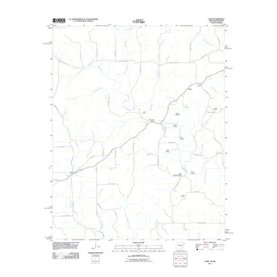 2011 Camp2011 Print · USGSFulton County near the Missouri border in the early 21st century reveals a landscape of family-run farms and traditional hollows. Genealogists can trace family roots at Shiloh Cemetery and Kerby Cemetery or explore the rural hubs of Camp and Fryatt.
 - 2011 Map of Mammoth Spring, 2011 Print
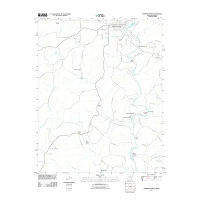 2011 Mammoth Spring2011 Print · USGSThe northern Arkansas Ozarks are centered here during the early twenty-first century, showing the river-front settlements and rural hollows. Genealogists can locate family burial sites like McLemore Cemetery and trace historical crossings at Baker Ford.
 - 2011 Map of Wirth, 2011 Print
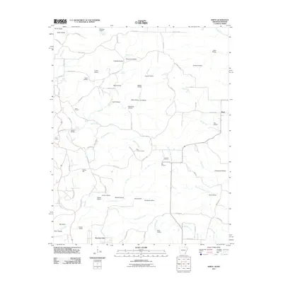 2011 Wirth2011 Print · USGSThe borderlands of Sharp County in the early twenty-first century reveal a rural landscape of winding hollows and family-named landmarks. Trace local history through sites like Wirth, Bethel Cemetery, and the intriguing Mine Hollow nestled along Big Creek.
 - 2011 Map of Hardy NE, 2011 Print
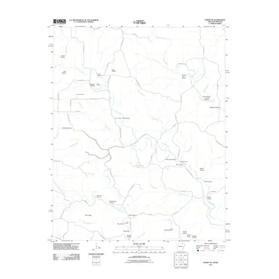 2011 Hardy NE2011 Print · USGSRandolph County's rural landscape is documented here in the early twenty-first century, showing a network of ridge roads and creek-side settlements. Genealogists can locate several family burial grounds, including McCollough Cemetery and Bellah Cemetery, along with landmarks like Perry Bluff.
 - 2011 Map of Dalton, 2011 Print
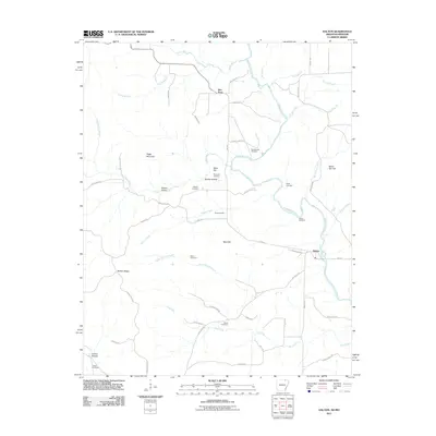 2011 Dalton2011 Print · USGSDalton and the surrounding Randolph County hills are shown here during the early 2000s as a landscape of river-valley settlements and ridge-top homesteads. Researchers can trace ancestral locations at the Stubblefield Cemetery, Elm Store, or the family-named Mine Hill.
 - 2011 Map of Peace Valley, 2011 Print
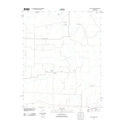 2011 Peace Valley2011 Print · USGSHowell County's rugged karst landscape is captured here during the early twenty-first century. Genealogists and local historians can trace the rural road networks connecting the settlements of Peace Valley and Fanchon with landmarks like Blowing Springs and Chalk Hole Valley.
 - 2011 Map of Couch, 2011 Print
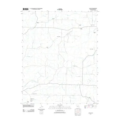 2011 Couch2011 Print · USGSOregon County life at the start of the 2010s is preserved here, showing rural communities and family-named terrain. Genealogists can locate Blankenship Cemetery and trace landmarks like Hy Post Office or Dead Dutchman Hollow.
 - 2011 Map of Fremont, 2011 Print
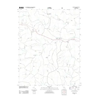 2011 Fremont2011 Print · USGSThe Missouri Ozarks near Fremont are shown here as a landscape of deep hollows and family cemeteries in the early twenty-first century. Genealogists and local historians can locate several burial grounds like Evaline Cemetery and New Hope Cemetery or trace the path of the Old Tram Rd.
 - 2011 Map of Greer, 2011 Print
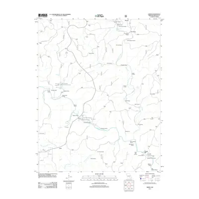 2011 Greer2011 Print · USGSThe Eleven Point River corridor in the Missouri Ozarks is captured here during a period of modern forest management and recreation. Genealogists and historians can trace family locations near Greer Mill, Saints Cemetery, and Turners Mill.
 - 2011 Map of Alton, 2011 Print
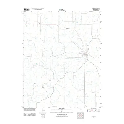 2011 Alton2011 Print · USGSOregon County in the early 2000s centers on the junction of the Ozark highlands and its rural valley settlements. Local researchers can trace family lands near Smith Cemetery, find freshwater sources like Simpson Spring, or locate the crossroads of Royal Oak and Woodside.
 - 2011 Map of Riverton, 2011 Print
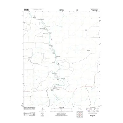 2011 Riverton2011 Print · USGSThe Eleven Point River corridor in Oregon County remains a landscape of springs and hollows as seen in the early twenty-first century. Genealogists and historians can trace old landmarks like the Coin Post Office, the site of Boze Mill, and the Windy Lookout Tower.
 - 2011 Map of Many Springs, 2011 Print
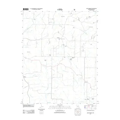 2011 Many Springs2011 Print · USGSOregon County is captured in the early twenty-first century as a landscape of isolated homesteads and deep Ozark hollows. Researchers can locate several family burial sites like Bailey Cemetery or trace the geography of local valleys such as Hollis School Hollow.
 - 2011 Map of Brandsville, 2011 Print
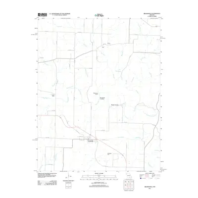 2011 Brandsville2011 Print · USGSBrandsville and its rural Howell County surroundings are captured in this early 21st-century survey during a period of steady transition. Genealogists and local historians can trace family locations near Francis Cemetery or find historic crossing points like Pocohontas Crossing and Hunter Crossing.
 - 2011 Map of Thomasville, 2011 Print
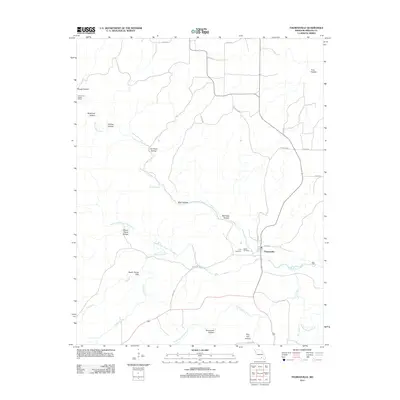 2011 Thomasville2011 Print · USGSThe Missouri Ozarks are captured here during a time of rural stability, centered on the historic river crossing at Thomasville. Genealogists and historians can trace family locations near the Lane Cemetery, Bellah Cemetery, and the riverside site of Olds Mill.
 - 2011 Map of Myrtle, 2011 Print
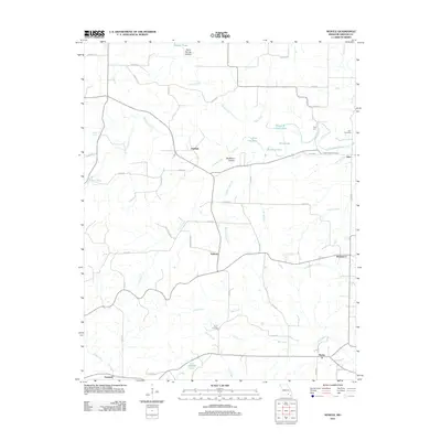 2011 Myrtle2011 Print · USGSOregon County is shown in the early twenty-first century as a rural landscape of winding creek beds and small crossroads hamlets. Genealogists and local historians can trace family locations near Myrtle, Jobe Cemetery, and the river crossing at Frey Ford.
 - 2011 Map of Rover, 2011 Print
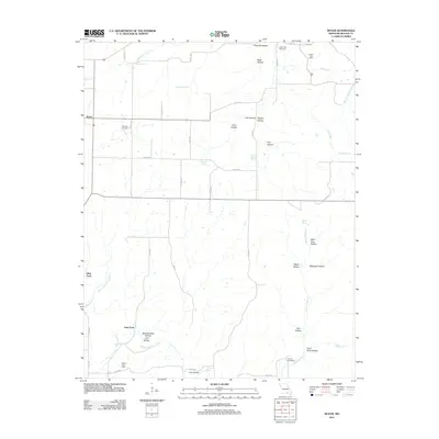 2011 Rover2011 Print · USGSOregon County in the early twenty-first century remains a landscape defined by its springs and hollows. Researchers can trace rural lineages through the Redburn Cemetery and locate former community centers at Brady Post Office and Culp Ford.
 - 2011 Map of Thayer, 2011 Print
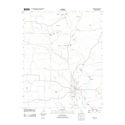 2011 Thayer2011 Print · USGSOregon County, Missouri, is shown here during a period of modern development that still respects its deep topographical roots. Researchers can trace family history at Walker Cemetery or explore the geography around Grand Gulf State Park and Thayer Memorial Airport.
 - 2011 Map of Montier, 2011 Print
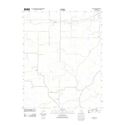 2011 Montier2011 Print · USGSShannon County near the turn of the decade remains a landscape of quiet rural settlements and winding Ozark waterways. Genealogists can trace family connections at New Salem Cemetery or Bethlehem Cemetery and locate the small communities of Montier and Not.
 - 2012 Map of Koshkonong, 2012 Print
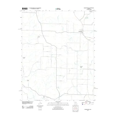 2012 Koshkonong2012 Print · USGSOregon County, Missouri, is captured here in the early twenty-first century, centered on the historic town of Koshkonong. Genealogists and hikers can trace local landmarks like the Christy Post Office and the notable Grand Gulf Natural Bridge.
 - 2012 Map of Mountain View, 2012 Print
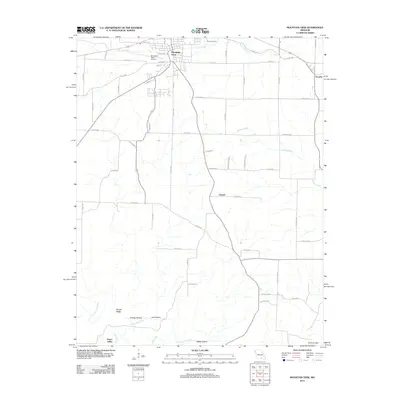 2012 Mountain View2012 Print · USGSMountain View and the surrounding Ozark foothills are captured here in the early twenty-first century. Genealogists and local historians can trace the rural landscape from the Eleven Point River to the quiet settlements of Teresita and Peace Valley.
 - 2012 Map of Gatewood, 2012 Print
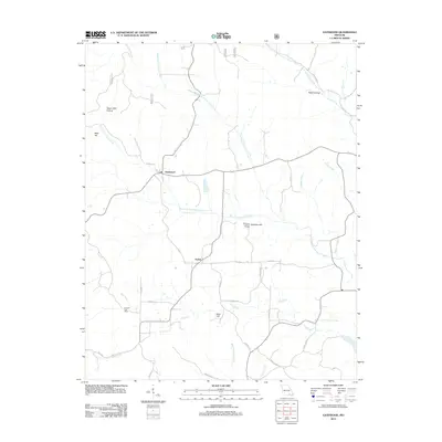 2012 Gatewood2012 Print · USGSRipley County, Missouri, is shown here in the early twenty-first century as a landscape of timbered hills and creek-bottom settlements. Researchers can trace the drainage of the Middle Fork Fourche Creek or locate landmarks like Mulvinia Lookout Tower and Celynda Post Office.
 - 2012 Map of Handy, 2012 Print
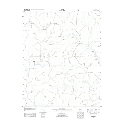 2012 Handy2012 Print · USGSThe rural landscape of Ripley County comes to life in this recent survey of the Missouri Ozarks. Genealogists and hikers can trace the winding hollows to find Bristol Cemetery, Hodo Camp, and the secluded waters of Big Barren Creek and Spout Spring.
 - 2012 Map of Piedmont Hollow, 2012 Print
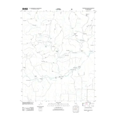 2012 Piedmont Hollow2012 Print · USGSOregon County, Missouri, is captured here in the early 2010s as a landscape defined by its deep river valleys and forest road networks. Genealogists and researchers can trace local landmarks like Bandyville, Spring Creek Cemetery, and the river crossing at Union Ford.
 - 2012 Map of Birch Tree, 2012 Print
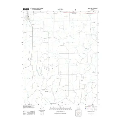 2012 Birch Tree2012 Print · USGSBirch Tree and the surrounding Shannon County timberlands are mapped here in the early twenty-first century. Genealogists and hikers can trace old family burial grounds at Warm Corners Cemetery and navigate the complex valley systems of Two Mule Camp Hollow and Big Hollow.
 - 2012 Map of Bardley, 2012 Print
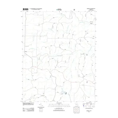 2012 Bardley2012 Print · USGSRipley County's rural landscape is documented here in the early twenty-first century, showing the crossroads of Bardley and Pine. Genealogists and local historians can trace family locations near Bardley Cemetery or find landmarks like the Briar Lookout Tower.
Showing maps 1-25 of 84
Top cities of Oregon County
Frequently asked questions
- What are the different types of historical maps available for Oregon County?
- What is the oldest map of Oregon County?
- Where can I purchase historical maps of Oregon County for my home or office?
- Where can I download high-res historical maps of Oregon County?
- Are there historical topographic maps available for Oregon County?
- Is there historical aerial imagery available for Oregon County?
- Where are historical maps of Oregon County sourced from?