2020s Maps of Ozark County, Missouri
Explore 35 historic maps of Ozark County from the 2020s. These maps offer a rare glimpse into what life looked like during the 2020s — showing old roads, neighborhoods, homes, and landmarks that have changed or disappeared over time.
Whether you're researching your family's past, planning a metal detecting trip, or studying how Ozark County's landscape evolved across the 2020s, these high-resolution maps are a powerful tool for exploring the history of this region.
- Focus on a specific era: All maps on this page are from the 2020s, giving you a focused view of this time period.
- See what’s changed: Compare century-old streets, trails, and buildings to today's modern landscape using overlays and satellite layers.
- Research with precision: Use these maps for genealogy, historical research, land use analysis, or educational projects.
- View, download, or print: Maps are fully viewable online in high resolution, and can be downloaded or printed for your own records.
Start exploring Ozark County's history through authentic maps from the 2020s. This is your window into the past.
Ozark County, MO maps
(35)- 2020 Map of Gepp, 2020 Print
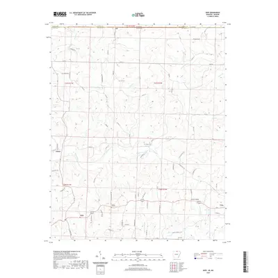 2020 Gepp2020 Print · USGSThe Arkansas-Missouri borderlands come into focus in this modern survey of Fulton County, showing the rural communities of Viola and Gepp at the decade's start. Researchers can locate family landmarks like Gobbler Trot Cem and trace the paths of Bennetts River and Lake Bertie.
 - 2020 Map of Midway, 2020 Print
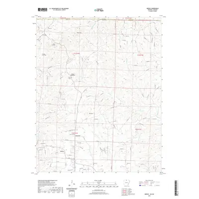 2020 Midway2020 Print · USGSBaxter County at the start of the 2020s shows a landscape of deep creek valleys and quiet rural settlements along the Missouri border. Genealogists can locate family landmarks like Conley Cemetery and Oakland Cemetery near the communities of Midway and Arkawana.
 - 2020 Map of Clarkridge, 2020 Print
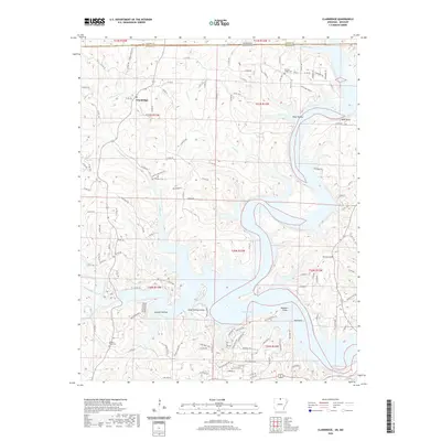 2020 Clarkridge2020 Print · USGSThe Missouri-Arkansas border region comes alive in this study of the terrain around Clarkridge and the northern reaches of Norfork Lake. Genealogists can trace family sites at Quality Ridge Cem and Maynard Cem while explorers scout the shorelines of Goodall Hollow.
 - 2020 Map of Cotter NW, 2020 Print
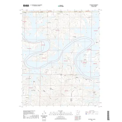 2020 Cotter NW2020 Print · USGSMidway and the surrounding Ozark highlands are shown here during the late twenty-teens, where the rugged terrain meets the waters of Bull Shoals Lake. Genealogists and hikers can trace family-named landmarks like Carver Hollow, Linley Ridge, and Tie-Chute Bluff.
 - 2020 Map of Bull Shoals, 2020 Print
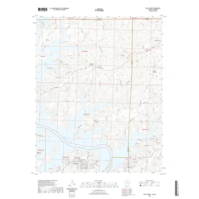 2020 Bull Shoals2020 Print · USGSThe Arkansas Ozarks meet the Missouri border in this detailed view of the winding shoreline of Bull Shoals Lake. Researchers can trace local history through family sites like Price Place Cem and settlements such as Oakland and Lakeview.
 - 2020 Map of Gamaliel, 2020 Print
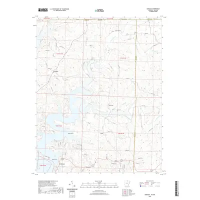 2020 Gamaliel2020 Print · USGSBaxter and Fulton Counties appear in the early twenty-first century as Norfork Lake meets the winding Bennetts Bayou. Researchers can trace family history through local landmarks like Gamaliel Cem, Custer-Herron Cem, and the high point at Turkey Knob.
 - 2020 Map of Peel, 2020 Print
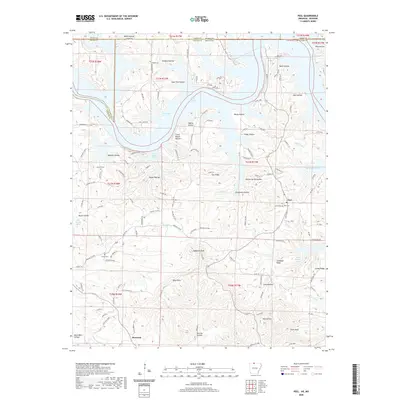 2020 Peel2020 Print · USGSThe Arkansas-Missouri borderlands come to life in this detailed survey of the Bull Shoals Lake region during the late twenty-teens. Researchers can trace ancestral roots at Peel Cem and Locust Cem or locate old homesteads near Monarch and Japanese Knob.
 - 2021 Map of Dora, 2021 Print
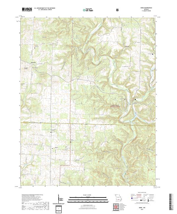 2021 Dora2021 Print · USGSThe Ozark plateau near the Douglas and Ozark County line is shown here in the early 2020s, centered on the community of Dora. Family historians can locate several local burial grounds, including Sweeton Cem, Fish Cem, and Cudworth Cem near Twin Bridges.
 - 2021 Map of Willhoit, 2021 Print
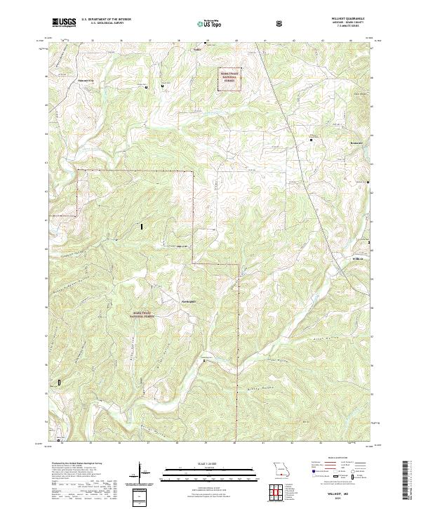 2021 Willhoit2021 Print · USGSOzark County's high ridges and deep hollows are captured here during the early twenty-first century. Researchers can trace ancestral roots through numerous local burial sites like Franklin Grove Cem or locate the rural crossroads of Romance and Nottinghill.
 - 2021 Map of Thornfield, 2021 Print
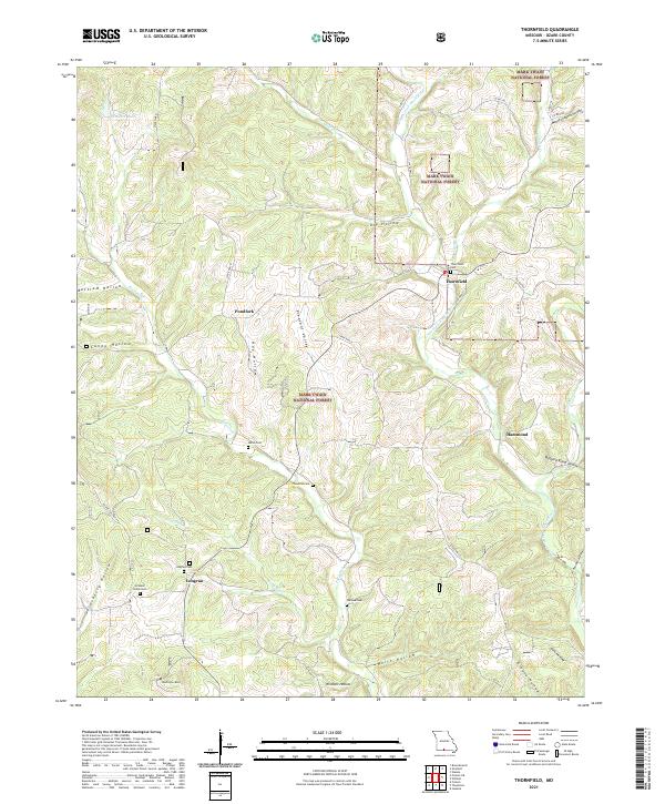 2021 Thornfield2021 Print · USGSOzark County is captured in this recent survey of the Missouri hills as the landscape transitions through the Mark Twain National Forest. Genealogists can locate family landmarks like Thornfield Cem, Longrun, and Welch Cem among the many winding hollows.
 - 2021 Map of Theodosia, 2021 Print
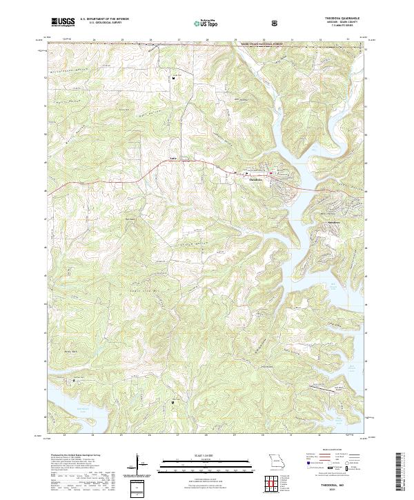 2021 Theodosia2021 Print · USGSTheodosia and the northern reaches of Bull Shoals Lake are captured here during the early twenty-first century. Genealogists and local historians can trace family locations near Lutie Cem, Hicks Cem, and the high points of McVey Bald or Chain Link Mountain.
 - 2021 Map of Protem, 2021 Print
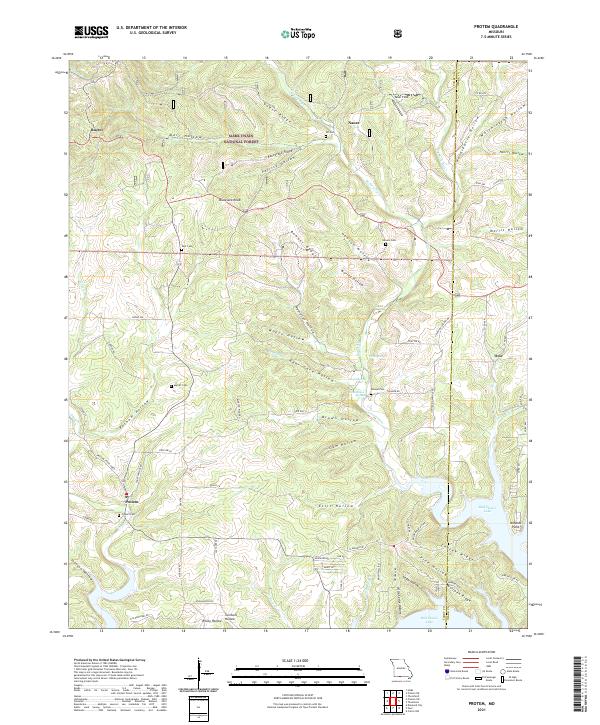 2021 Protem2021 Print · USGSThe Missouri Ozarks near the Taney and Ozark county line are documented here in the early 2020s, showing a landscape of deep hollows and forest ridges. Researchers can trace local history through numerous rural burial grounds like Protem Cem and Rhodes Cem, or locate family landmarks along Big Creek and Bull Shoals Lake.
 - 2021 Map of Udall, 2021 Print
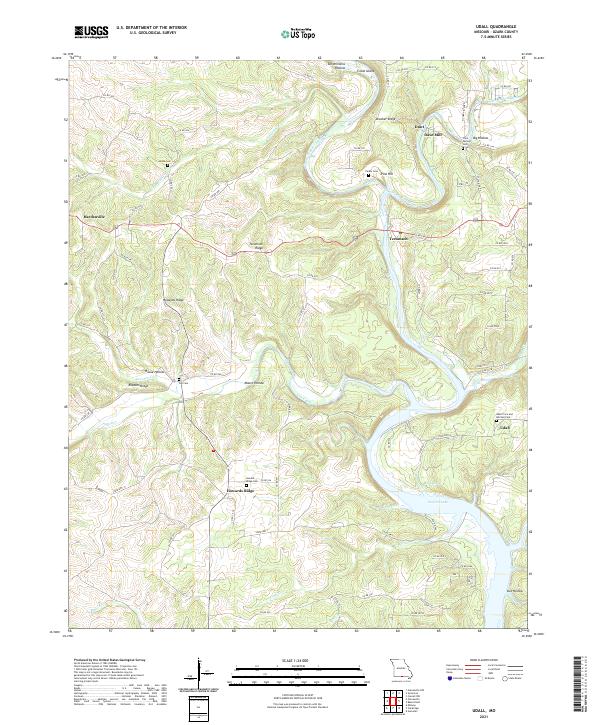 2021 Udall2021 Print · USGSOzark County near the Arkansas border comes alive on this survey of the river valleys before they meet Norfork Lake. Genealogists can trace family footprints at Dawt Mill, Sallee Cem, and the Udall Price and Mitchell Cem.
 - 2021 Map of Gainesville, 2021 Print
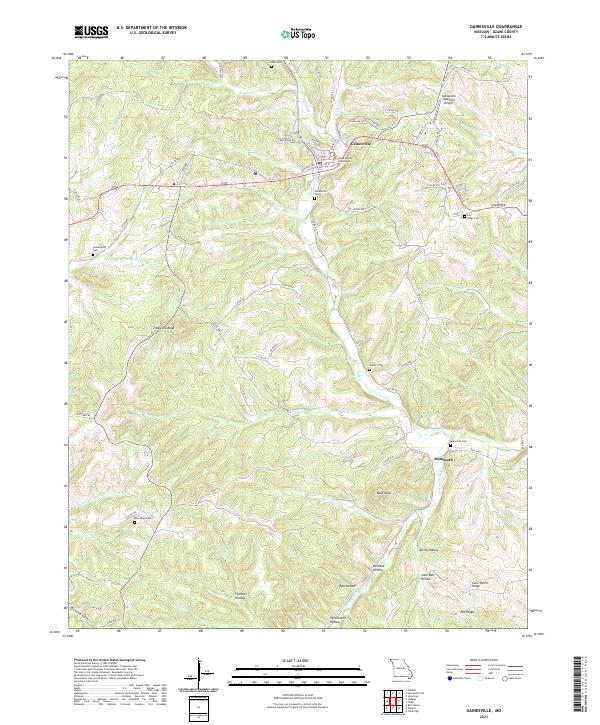 2021 Gainesville2021 Print · USGSGainesville and the surrounding Ozark ridges appear here in the early twenty-first century as a landscape of deep hollows and high knobs. Researchers can locate family burial sites like Centerpoint Cem and trace the winding paths of Lick Cr and Possum Walk Cr.
 - 2021 Map of Smallett, 2021 Print
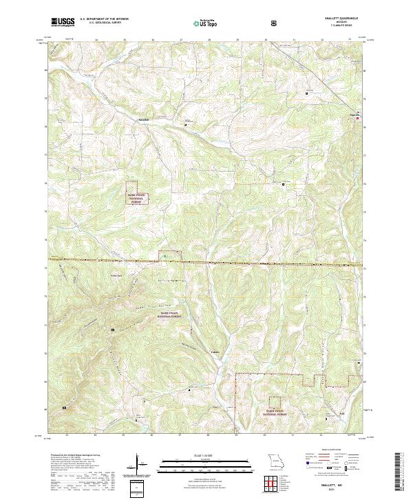 2021 Smallett2021 Print · USGSThe Douglas and Ozark County border comes alive in this study of the Ozark highlands, where small settlements like Smallett and Squires follow the winding creek valleys. Researchers can trace family history through sites like the Norris - Piland Cem or the remote Krider Cem.
 - 2021 Map of Wasola, 2021 Print
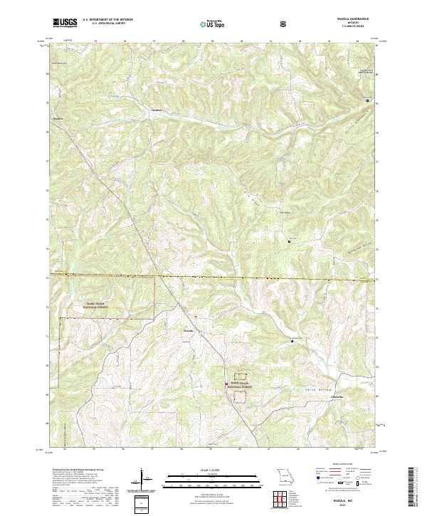 2021 Wasola2021 Print · USGSThe Douglas and Ozark county line in the early twenty-first century reveals a landscape of protected forest and high-ridge settlements. Researchers can trace rural lineages at Loftin Cem and Noble Cem or locate the Sweden Fork Natural Bridge near Girdner.
 - 2021 Map of Caulfield, 2021 Print
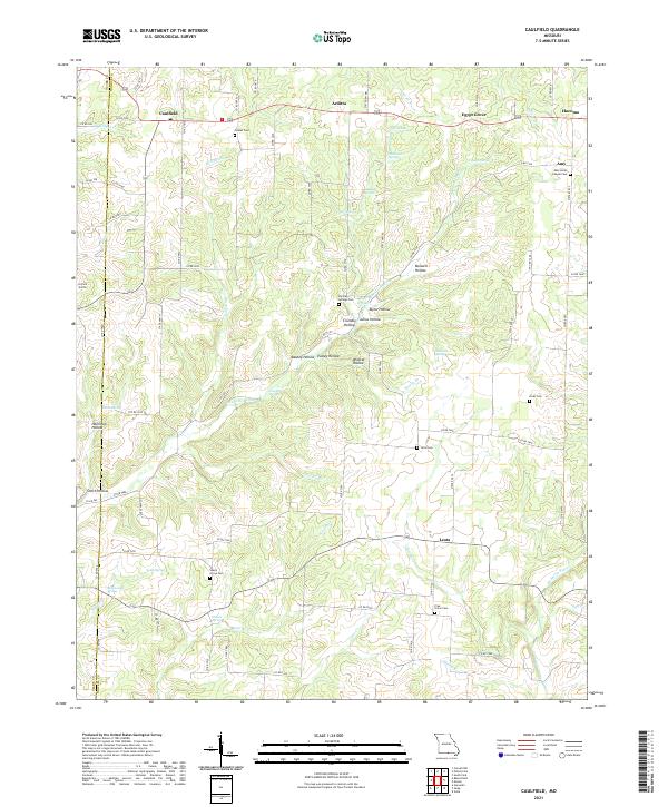 2021 Caulfield2021 Print · USGSHowell County at the turn of the decade is a landscape of springs and hollows centered around the community of Caulfield. Genealogists and local historians can trace family locations through sites like Shady Grove Cem, Limekiln Spring, and Amy Union Chapel Cem.
 - 2021 Map of Brownbranch, 2021 Print
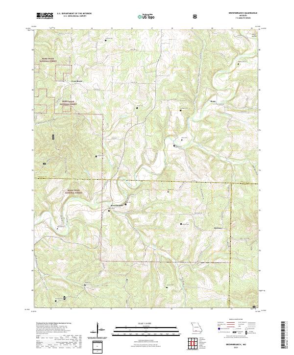 2021 Brownbranch2021 Print · USGSThe Ozark highlands at the meeting of three counties were defined by scattered hill settlements and forest life in the early 2020s. Trace local family roots through numerous burial sites like Watterson Cem and Dixon Cem near the banks of Beaver Creek.
 - 2021 Map of Gentryville, 2021 Print
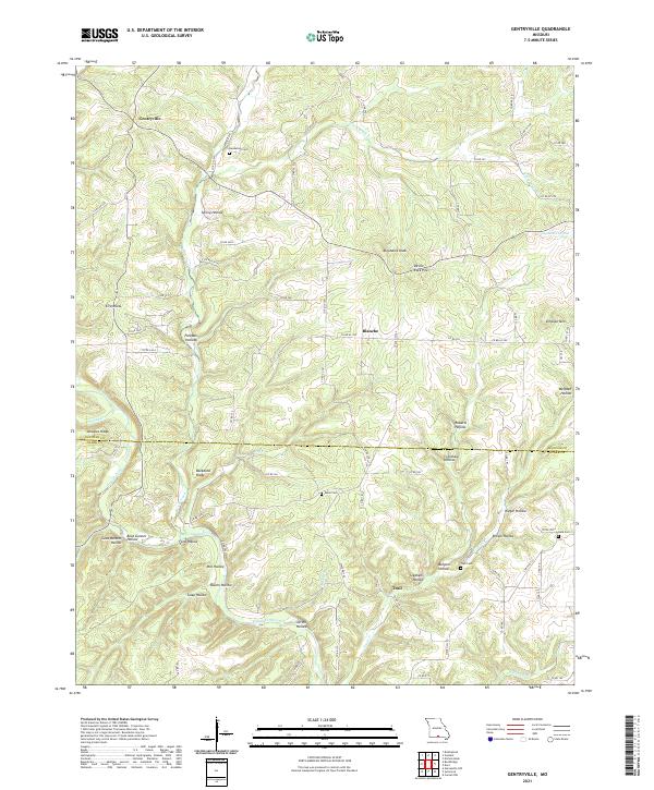 2021 Gentryville2021 Print · USGSThe Missouri Ozarks along the Douglas and Ozark county line are documented here in detail. Researchers can trace family history through several remote burial grounds like Henderson Cem and Eaton Cem or locate landmarks such as Devils Rock Pile and Backbone Ridge.
 - 2021 Map of Sycamore, 2021 Print
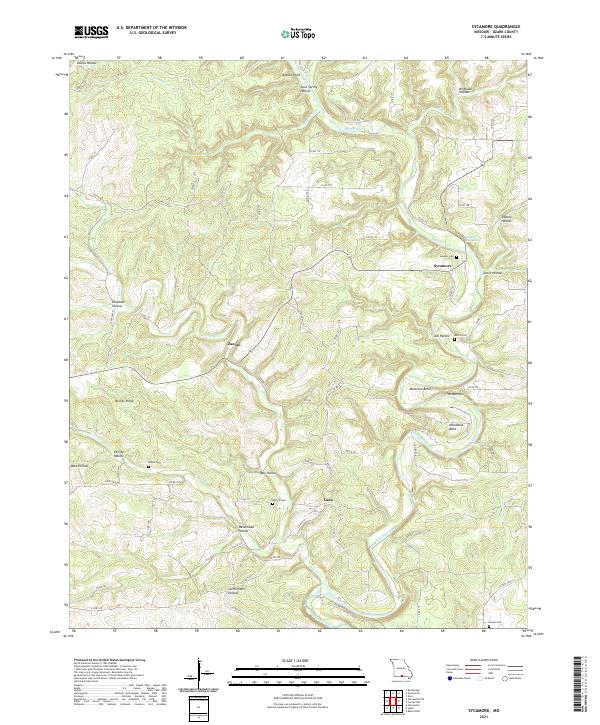 2021 Sycamore2021 Print · USGSThe Ozark county interior comes into focus in this recent survey, showcasing the deeply dissected plateau near Sycamore. Researchers can locate several family burial grounds like Patrick Cem and James Cem or trace the winding course of Bryant Creek past Hodgson Mill Spring.
 - 2021 Map of Rockbridge, 2021 Print
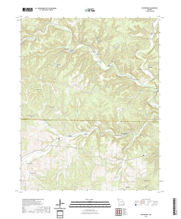 2021 Rockbridge2021 Print · USGSThe Douglas and Ozark county line is captured here in the modern era, showing a landscape defined by deep hollows and rural community centers. Genealogists and historians can trace family roots through Souder Cemetery, Rockbridge, and the distinctive Devils Backbone ridge.
 - 2021 Map of Gainesville NW, 2021 Print
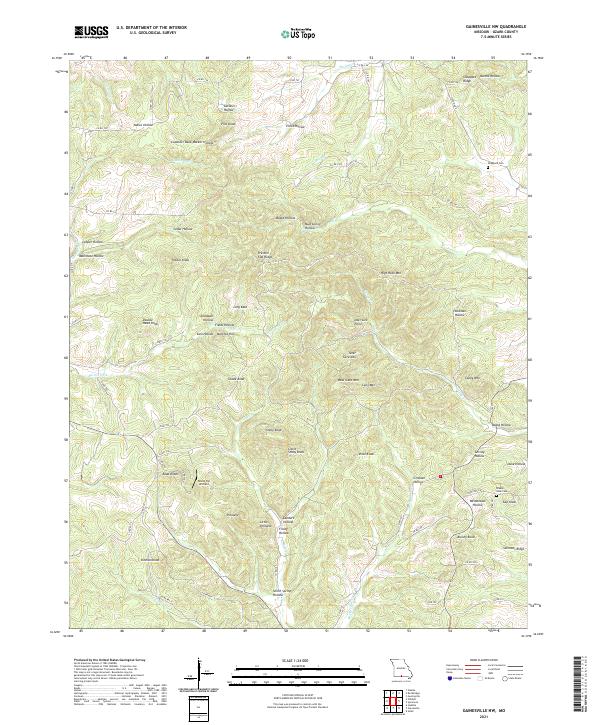 2021 Gainesville NW2021 Print · USGSOzark County is depicted here in the early 2020s, showing a deeply carved landscape of high knobs and winding hollows. Researchers can locate family landmarks such as Sheppard Cem and Stillhouse Hollow, or trace the path of Barren Fork.
 - 2021 Map of Pottersville, 2021 Print
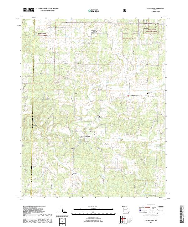 2021 Pottersville2021 Print · USGSHowell County's wooded hollows and ridges are mapped here as they appeared in the early 2020s. Genealogists can trace family names through numerous rural burial sites like Ledbetter Cemetery, Setzer Cemetery, and the community of Pottersville.
 - 2021 Map of Protem NE, 2021 Print
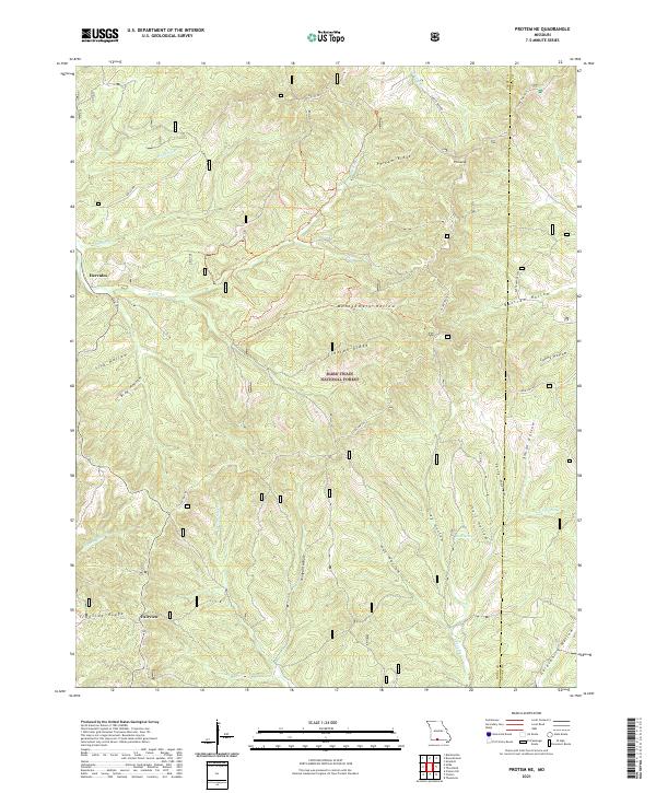 2021 Protem NE2021 Print · USGSThe Missouri Ozarks are shown here in the 2020s, dominated by the heavily timbered tracts of the Mark Twain National Forest. Trace the winding path of the Glade Top Trail past high points like Pinnacle and historical sites at Hercules and Fairview.
 - 2021 Map of Siloam Springs, 2021 Print
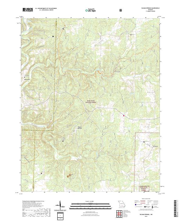 2021 Siloam Springs2021 Print · USGSHowell County's Ozark highlands are captured here in the early twenty-first century, showing the rural communities of Siloam Springs and Roosevelt. Researchers can trace local family history through several sites like Thornton - Roosevelt Cem and Mitts Cem.
Showing maps 1-25 of 35
Top cities of Ozark County
Frequently asked questions
- What are the different types of historical maps available for Ozark County?
- What is the oldest map of Ozark County?
- Where can I purchase historical maps of Ozark County for my home or office?
- Where can I download high-res historical maps of Ozark County?
- Are there historical topographic maps available for Ozark County?
- Is there historical aerial imagery available for Ozark County?
- Where are historical maps of Ozark County sourced from?