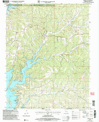
2000s (21st Century) Maps of Ozark County, Missouri
Explore 132 historic maps of Ozark County from the 2000s (21st Century). These maps offer a rare glimpse into what life looked like during the 2000s — showing old roads, neighborhoods, homes, and landmarks that have changed or disappeared over time.
Whether you're researching your family's past, planning a metal detecting trip, or studying how Ozark County's landscape evolved across the 2000s, these high-resolution maps are a powerful tool for exploring the history of this region.
- Focus on a specific era: All maps on this page are from the 2000s, giving you a focused view of this time period.
- See what’s changed: Compare century-old streets, trails, and buildings to today's modern landscape using overlays and satellite layers.
- Research with precision: Use these maps for genealogy, historical research, land use analysis, or educational projects.
- View, download, or print: Maps are fully viewable online in high resolution, and can be downloaded or printed for your own records.
Start exploring Ozark County's history through authentic maps from the 2000s. This is your window into the past.
Ozark County, MO maps
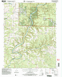
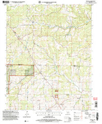
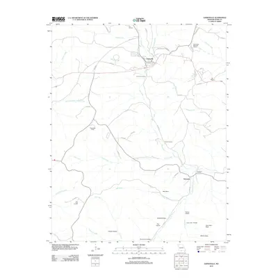
(132)- 2004 Map of Willhoit, 2006 Print
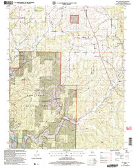 2004 Willhoit2006 Print · USGSThe Ozark highlands of Missouri appear here in the early 2000s, showing a landscape defined by the deep ridges of the Mark Twain National Forest. Local researchers can trace family roots through numerous sites like Noble Cem, Franklin Grove Ch, and the small settlement of Nottinghill.
 - 2004 Map of Siloam Springs, 2006 Print
 2004 Siloam Springs2006 Print · USGSHowell and Douglas County are shown here at the start of the millennium, documenting the springs and settlements of the Ozark highlands. Researchers can trace family sites at Siloam Springs, locate the Oak Grove Ch, or explore the terrain of Devils Backbone Wilderness.
 - 2004 Map of Protem, 2006 Print
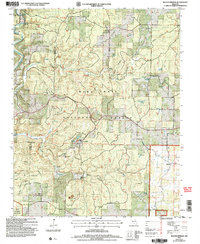
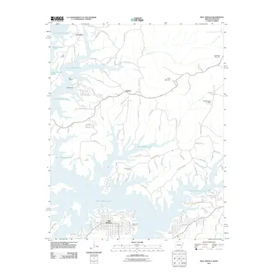
 2004 Protem2006 Print · USGSThe Ozark hill country at the Missouri-Arkansas border comes into focus here, showing the communities and ridges surrounding the upper reaches of Bull Shoals Lake. Researchers can locate Wolf Cem, the Mark Twain Sch, and early settlements like Protem and Ocie.
 - 2004 Map of Thornfield, 2006 Print
 2004 Thornfield2006 Print · USGSThe Missouri Ozarks around the Mark Twain National Forest are shown here as they appeared in the early 2000s. Genealogists and local historians can locate remote landmarks like Mount Lebanon Ch, Welsh Cem, and the old settlement at Hammond.
 - 2004 Map of Cureall NW, 2006 Print
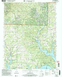
 2004 Cureall NW2006 Print · USGSOzark County at the turn of the millennium remains a landscape defined by its deep river valleys and spring-fed waters. Genealogists can locate several family burial grounds and country churches, from Parson Cem and Marshall Cem to the New Liberty Ch near the North Fork River.
 - 2004 Map of Theodosia, 2006 Print
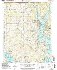 2004 Theodosia2006 Print · USGSTheodosia and the northern reaches of Bull Shoals Lake are captured here during the early twenty-first century as part of the Ozark recreation landscape. Local historians can trace family sites like Hicks Cem, Dugginsville, and landmarks like True Hope Ch.
 - 2004 Map of Dora, 2006 Print
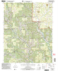
 2004 Dora2006 Print · USGSThe Ozark highlands of southern Missouri come alive in this survey of the river country bordering Douglas and Ozark counties. Researchers can trace the rural communities of Dora and Richville alongside scattered landmarks like Bethany Ch and Sweeton Cem.
 - 2004 Map of Protem NE, 2006 Print
 2004 Protem NE2006 Print · USGSThe Missouri Ozarks are shown here shortly after the turn of the millennium, dominated by the wooded expanse of the Mark Twain National Forest. Genealogists and local historians can trace family locations through the Merriman Cem, the Lee Homestead (Site), and landmarks along the Glade Top Trail.
 - 2004 Map of Pottersville, 2006 Print
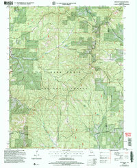
 2004 Pottersville2006 Print · USGSSouthern Missouri hill country is shown here just after the millennium, where deep hollows and high ridges meet the national forest. Researchers can trace rural lineages through numerous local landmarks like Gospel Hill Ch, Cureall Cem, and the old settlement at Pottersville.
 - 2004 Map of Wasola, 2006 Print
 2004 Wasola2006 Print · USGSThe Missouri Ozarks are captured here during the early 2000s, showing the ridge-top roads and deep hollows of the Douglas and Ozark county line. Researchers can locate several rural landmarks including Murray Ch, Loflin Cem, and the village of Wasola.
 - 2004 Map of Brownbranch, 2006 Print
 2004 Brownbranch2006 Print · USGSThe Douglas and Taney county line comes alive in the mid-2000s, showing a landscape of Ozark creek bottoms and national forest ridges. Genealogists can locate numerous family burial sites like Watterson Cem or visit the rural crossroads at Brownbranch and Rome.
 - 2004 Map of Isabella, 2006 Print
 2004 Isabella2006 Print · USGSOzark County is captured at the turn of the twenty-first century, showing the established communities and shoreline of Bull Shoals Lake. Genealogists and local historians can locate family sites like Friend Cem, Turnbull Cem, and the Pontiac Ch.
 - 2004 Map of Smallett, 2006 Print
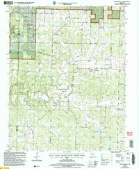
 2004 Smallett2006 Print · USGSThe Ozark highlands of Douglas and Ozark Counties are shown here during the early 2000s, balancing national forest land with historic rural homesteads. Local history hunters can trace legacy sites like Toledo, the Gladetop Trail, and old cemeteries such as Krider Cem.
 - 2011 Map of Gepp, 2011 Print
 2011 Gepp2011 Print · USGSCovers Ozark County, including Viola, Ott, and other nearby areas
 - 2011 Map of Midway, 2011 Print
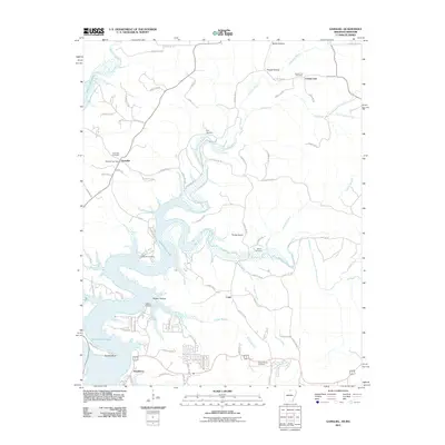
 2011 Midway2011 Print · USGSCovers Ozark County, including Arkawana, Midway, and other nearby areas
 - 2011 Map of Bull Shoals, 2011 Print
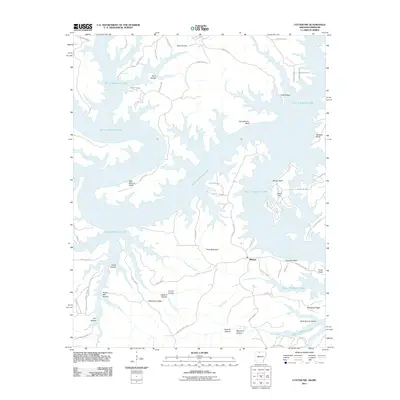
 2011 Bull Shoals2011 Print · USGSCovers Ozark County, including Bull Shoals, Lakeview, and other nearby areas
 - 2011 Map of Clarkridge, 2011 Print
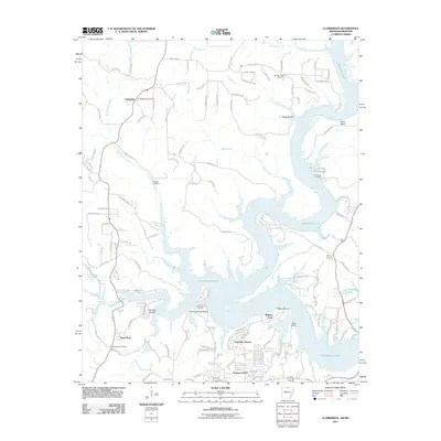 2011 Clarkridge2011 Print · USGSCovers Ozark County, including Dogwood Park, Fawn Park, and other nearby areas
 - 2011 Map of Cotter NW, 2011 Print
 2011 Cotter NW2011 Print · USGSCovers Ozark County, including Midway, Marion County, and other nearby areas
 - 2011 Map of Gamaliel, 2011 Print
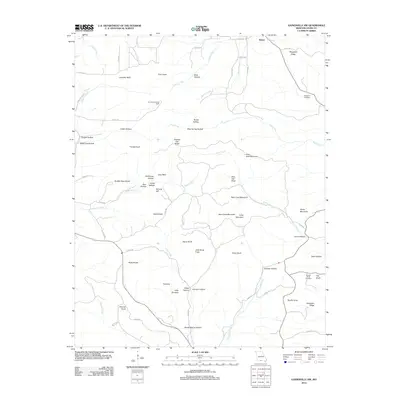
 2011 Gamaliel2011 Print · USGSCovers Ozark County, including County Line, Cumi, and other nearby areas
 - 2011 Map of Peel, 2011 Print
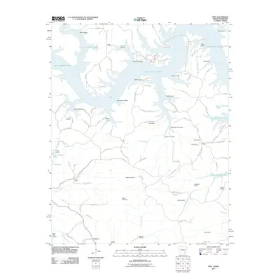 2011 Peel2011 Print · USGSCovers Ozark County, including Monarch, Peel, and other nearby areas
 - 2012 Map of Gentryville, 2012 Print
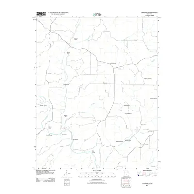 2012 Gentryville2012 Print · USGSCovers Ozark County, including Blanche, Trail, and other nearby areas
 - 2012 Map of Rockbridge, 2012 Print
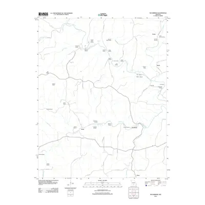 2012 Rockbridge2012 Print · USGSCovers Ozark County, including Fielden, Bertha, and other nearby areas
 - 2012 Map of Gainesville NW, 2012 Print
 2012 Gainesville NW2012 Print · USGSCovers Ozark County, including United States, Missouri, and other nearby areas
 - 2012 Map of Gainesville, 2012 Print
 2012 Gainesville2012 Print · USGSCovers Ozark County, including Gainesville, Mammoth, and other nearby areas
 - 2012 Map of Dora, 2012 Print
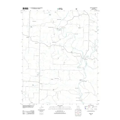 2012 Dora2012 Print · USGSCovers Ozark County, including Hebron, Dora, and other nearby areas
Showing maps 1-25 of 132
Top cities of Ozark County
Frequently asked questions
- What are the different types of historical maps available for Ozark County?
- What is the oldest map of Ozark County?
- Where can I purchase historical maps of Ozark County for my home or office?
- Where can I download high-res historical maps of Ozark County?
- Are there historical topographic maps available for Ozark County?
- Is there historical aerial imagery available for Ozark County?
- Where are historical maps of Ozark County sourced from?