2010s Maps of Ozark County, Missouri
Explore 84 historic maps of Ozark County from the 2010s. These maps offer a rare glimpse into what life looked like during the 2010s — showing old roads, neighborhoods, homes, and landmarks that have changed or disappeared over time.
Whether you're researching your family's past, planning a metal detecting trip, or studying how Ozark County's landscape evolved across the 2010s, these high-resolution maps are a powerful tool for exploring the history of this region.
- Focus on a specific era: All maps on this page are from the 2010s, giving you a focused view of this time period.
- See what’s changed: Compare century-old streets, trails, and buildings to today's modern landscape using overlays and satellite layers.
- Research with precision: Use these maps for genealogy, historical research, land use analysis, or educational projects.
- View, download, or print: Maps are fully viewable online in high resolution, and can be downloaded or printed for your own records.
Start exploring Ozark County's history through authentic maps from the 2010s. This is your window into the past.
Ozark County, MO maps
(84)- 2011 Map of Gepp, 2011 Print
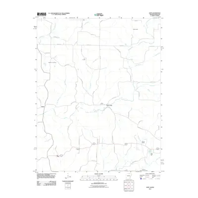 2011 Gepp2011 Print · USGSFulton County and the Arkansas-Missouri borderlands are captured here in the early 2000s, showing a landscape of family-named ridges and river valleys. Genealogists and local historians can trace family ties at Gobbler Trot Cemetery, Pickren Hall, and the settlement of Gepp.
 - 2011 Map of Midway, 2011 Print
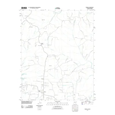 2011 Midway2011 Print · USGSBaxter County in the early 2000s shows a quiet landscape of rural settlements and winding creeks near the Missouri border. Genealogists and local historians can trace family ties through Conley Cemetery, Three Brothers, and the Midway Post Office.
 - 2011 Map of Bull Shoals, 2011 Print
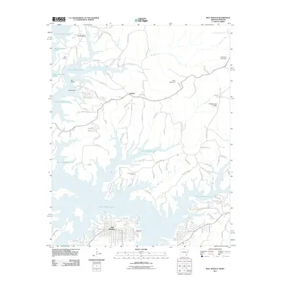 2011 Bull Shoals2011 Print · USGSThe northern Arkansas borderlands meet the winding shores of the White River basin in the early twenty-first century. Genealogists and local historians can trace family sites at Price Place Cemetery or Newton Flat Cemetery and explore the street layouts of Bull Shoals and Oakland.
 - 2011 Map of Clarkridge, 2011 Print
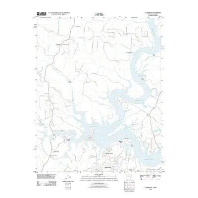 2011 Clarkridge2011 Print · USGSBaxter County’s northern borderlands meet the sprawling arms of the lake in the early twenty-first century. Genealogists and local historians can locate family sites at Bentley Ridge Cemetery and trace the rural roads connecting Clarkridge to waterfront landings like Cranfield Landing.
 - 2011 Map of Cotter NW, 2011 Print
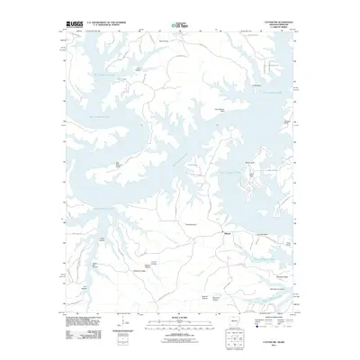 2011 Cotter NW2011 Print · USGSThe northern Arkansas landscape of the early twenty-first century is defined here by the intricate shoreline of Bull Shoals Lake. Researchers can trace old mountain roads and local landmarks like Stave Mill Hollow, Ozark Isle, and the settlement of Midway.
 - 2011 Map of Gamaliel, 2011 Print
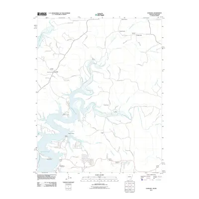 2011 Gamaliel2011 Print · USGSThe Ozark borderlands in the early twenty-first century are defined by the winding reaches of Norfork Lake and the rural communities along the state line. Researchers can trace family history through numerous burial grounds like Athens Cemetery or locate old water access points at Gamaliel Landing and Bidwell Point.
 - 2011 Map of Peel, 2011 Print
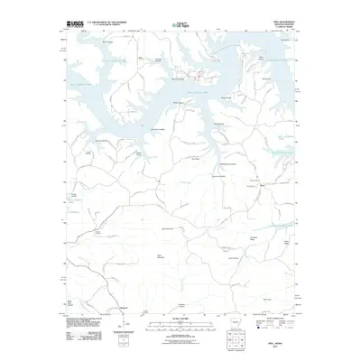 2011 Peel2011 Print · USGSMarion County, Arkansas, is shown here as a landscape defined by the expansive reaches of Bull Shoals Lake and the rugged Ozark interior. Genealogists can trace family landmarks and burial sites such as Peel Cemetery, Locust Cemetery, and the Peel Post Office.
 - 2012 Map of Gentryville, 2012 Print
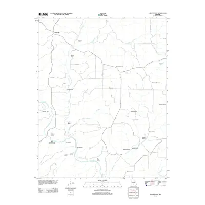 2012 Gentryville2012 Print · USGSDouglas County’s rural landscape is captured here in the early twenty-first century, showing the enduring structure of its Ozark communities. Researchers can locate family landmarks such as Henderson Cemetery or trace the geography of Backbone Ridge and Gentryville.
 - 2012 Map of Rockbridge, 2012 Print
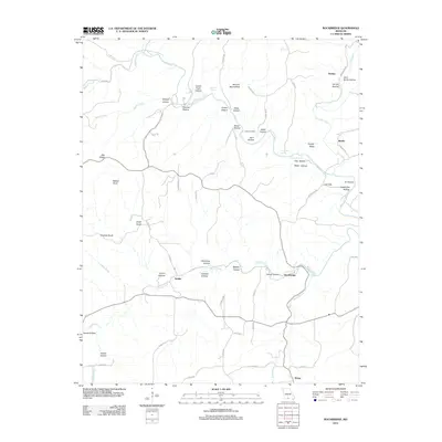 2012 Rockbridge2012 Print · USGSOzark life in the early twenty-first century is captured here through a dense network of hollows and ridges surrounding the Bryant Creek basin. Researchers can locate remote settlements like Rockbridge and Souder or trace family sites at Yates Cemetery and McCord Mill Hollow.
 - 2012 Map of Gainesville NW, 2012 Print
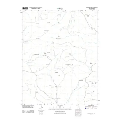 2012 Gainesville NW2012 Print · USGSOzark County in the early twenty-first century remains a landscape of deep hollows and high limestone ridges. Genealogists and hikers can locate specific sites like Sheppard Cemetery, the Romance Lookout Tower, and the dramatic slopes of Tater Cave Mountain.
 - 2012 Map of Gainesville, 2012 Print
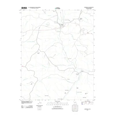 2012 Gainesville2012 Print · USGSGainesville and the surrounding Ozark County hollows are captured in the early twenty-first century as they balance rural tradition with modern infrastructure. Local historians can trace family locations near Gainesville Cemetery, the heights of Timbered Knob, and the southern settlement of Mammoth.
 - 2012 Map of Dora, 2012 Print
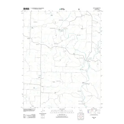 2012 Dora2012 Print · USGSMissouri's Ozark hill country is captured here during the early twenty-first century, showing the rural communities of Dora and Hebron along the North Fork River. Family historians can locate numerous small burial sites like Fish Cemetery and Innman Cemetery, while tracing the springs and hollows that define this landscape.
 - 2012 Map of Cureall NW, 2012 Print
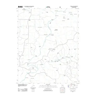 2012 Cureall NW2012 Print · USGSOzark County near the river forks reveals a landscape of isolated homesteads and deep hollows during the early twenty-first century. Genealogists can locate family burial sites at Parson Cemetery or Woods Cemetery and find the old Oak Mound School.
 - 2012 Map of Pottersville, 2012 Print
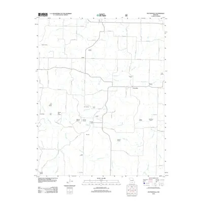 2012 Pottersville2012 Print · USGSPottersville and the surrounding Howell County hollows are documented here during the early twenty-first century. Genealogists and local historians can trace family locations through sites like Cureall Cemetery, Ledbetter Cemetery, and the Pottersville School.
 - 2012 Map of Willhoit, 2012 Print
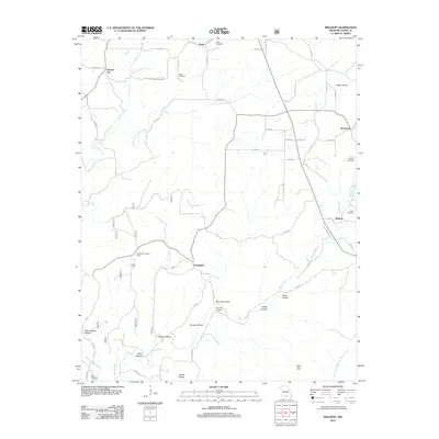 2012 Willhoit2012 Print · USGSOzark County is mapped here in the early twenty-first century, showing a landscape of high ridges and named hollows. Genealogists can trace family names at the Gaulding Cemetery or locate the Nottinghill Lookout Tower and Sister Knobs.
 - 2012 Map of Caulfield, 2012 Print
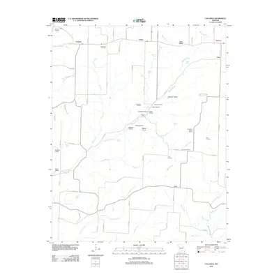 2012 Caulfield2012 Print · USGSHowell County's Ozark highlands are captured here in the early twenty-first century, showing a landscape defined by its springs and hollows. Genealogists and local historians can locate Bly Post Office, Youngblood Cemetery, and rural landmarks like Big Spring School.
 - 2012 Map of Smallett, 2012 Print
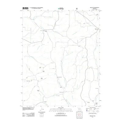 2012 Smallett2012 Print · USGSOzark County at the start of the 2010s reveals a landscape of high ridges and deep hollows connected by winding rural routes. Genealogists can locate several family burial grounds like Holt Cemetery and Krider Cemetery, alongside landmarks such as the Salt Road Post Office.
 - 2012 Map of Theodosia, 2012 Print
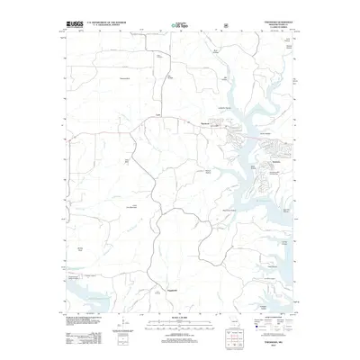 2012 Theodosia2012 Print · USGSOzark County at the start of the 2010s is defined by the winding waters of Bull Shoals Lake and the settlements of Theodosia and Lutie. Researchers can trace local heritage through several burial sites like Hicks Cemetery or locate unique aviation landmarks like the Nolands Point Seaplane Base.
 - 2012 Map of Sycamore, 2012 Print
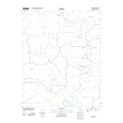 2012 Sycamore2012 Print · USGSOzark County's river-cut landscape is captured here in the early twenty-first century, centered on the winding Bryant Creek. Genealogists and local historians can trace family roots through Sanders Cemetery and Upton Cemetery or locate landmarks like Hodgson Mill Spring.
 - 2012 Map of Wasola, 2012 Print
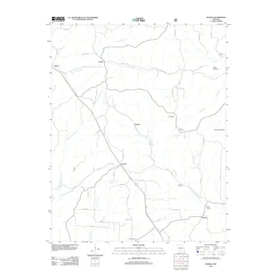 2012 Wasola2012 Print · USGSOzark County at the start of the 2010s reveals a rural landscape defined by deep-set hollows and scattered upland settlements. Trace family heritage and old homesteads near Wasola, Almartha, and the Devils Backbone ridge, or locate remote burial sites like Noble Cemetery.
 - 2012 Map of Protem NE, 2012 Print
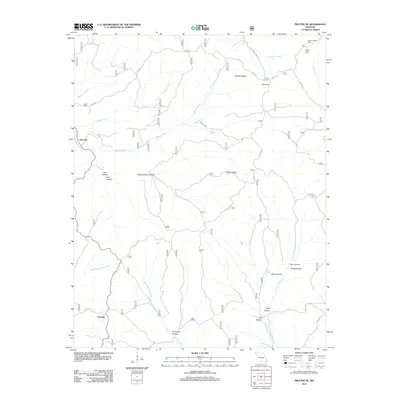 2012 Protem NE2012 Print · USGSThe Missouri Ozarks are captured here during the early 2010s, showing a land of deep hollows and high ridges near the Arkansas border. Researchers can trace the path of the Glade Top Trl or locate landmarks like the Caney Lookout Tower and Hercules.
 - 2012 Map of Udall, 2012 Print
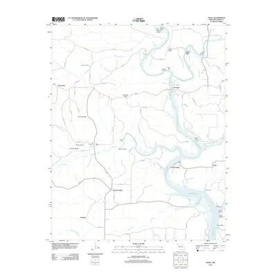 2012 Udall2012 Print · USGSOzark County is centered on the confluence of the North Fork River and Bryant Creek in the early twenty-first century. Researchers can locate family landmarks like Dawt Mill, Sallee Cemetery, and the river crossing at Gifford Ford.
 - 2012 Map of Siloam Springs, 2012 Print
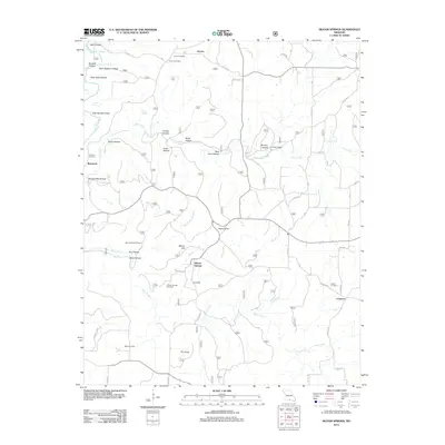 2012 Siloam Springs2012 Print · USGSHowell County at the start of the 2010s reveals a landscape of deep Ozark hollows and quiet rural outposts. Researchers can trace family history through sites like Siloam Springs Cemetery or locate historic landmarks like Pease Mill and The Sinks.
 - 2012 Map of Bakersfield, 2012 Print
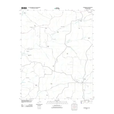 2012 Bakersfield2012 Print · USGSOzark County at the turn of the decade reveals a landscape of isolated ridges and deeply carved hollows along the Missouri-Arkansas border. Genealogists and local historians can trace family roots through sites like White Oak Cemetery, the Barren Creek School, and the settlement of Thuroy.
 - 2012 Map of Thornfield, 2012 Print
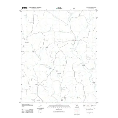 2012 Thornfield2012 Print · USGSOzark County settlements like Thornfield and Hammond are mapped here in the early 21st century. Genealogists and researchers can trace local family history through sites like Welsh Cemetery, Wallace Cemetery, and the United States Forest Service Fire Tower.
Showing maps 1-25 of 84
Top cities of Ozark County
Frequently asked questions
- What are the different types of historical maps available for Ozark County?
- What is the oldest map of Ozark County?
- Where can I purchase historical maps of Ozark County for my home or office?
- Where can I download high-res historical maps of Ozark County?
- Are there historical topographic maps available for Ozark County?
- Is there historical aerial imagery available for Ozark County?
- Where are historical maps of Ozark County sourced from?