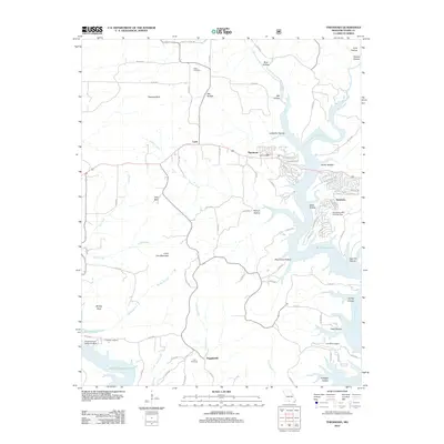
2012 Map of Theodosia
USGS Topo · Published 2012About this map
Bull Shoals Lake and the Little North Fork White River define the local geography, where the impounded waters create a complex shoreline of inlets and hollows. The settlement of Theodosia serves as a central hub, while smaller communities like Lutie, Sundown, and Dugginsville are scattered across the terrain. This 2012 survey illustrates a landscape shaped by both water and aviation, featuring several specialized transport points such as the Nolands Point Seaplane Base, the Theodosia Hills Landing strip, and the Lost Mine Airport.
Find a feature on this map
85 named features on this map. Tap any name to fly to it.
Don’t see what you’re looking for? This feature index may not catch every label — zoom into the map to look around manually.
Map Details
Editions of this 2012 Theodosia Map
This is the sole edition of this map. No revisions or reprints were ever made.
Other maps of this area

1893 · Yellville
USGS Topo · 1:125,000

1903 · Yellville
USGS Topo · 1:125,000

1905 · Yellville
USGS Topo · 1:125,000

1929 · Yellville
USGS Topo · 1:125,000

1936 · Thornfield
USGS Topo · 1:48,000

1943 · Protem
USGS Topo · 1:62,500

1943 · Thornfield
USGS Topo · 1:62,500

1945 · Harrison
USGS Topo · 1:250,000

1945 · Thornfield
USGS Topo · 1:62,500

1949 · Harrison
USGS Topo · 1:250,000