2010s Maps of Pettis County, Missouri
Explore 57 historic maps of Pettis County from the 2010s. These maps offer a rare glimpse into what life looked like during the 2010s — showing old roads, neighborhoods, homes, and landmarks that have changed or disappeared over time.
Whether you're researching your family's past, planning a metal detecting trip, or studying how Pettis County's landscape evolved across the 2010s, these high-resolution maps are a powerful tool for exploring the history of this region.
- Focus on a specific era: All maps on this page are from the 2010s, giving you a focused view of this time period.
- See what’s changed: Compare century-old streets, trails, and buildings to today's modern landscape using overlays and satellite layers.
- Research with precision: Use these maps for genealogy, historical research, land use analysis, or educational projects.
- View, download, or print: Maps are fully viewable online in high resolution, and can be downloaded or printed for your own records.
Start exploring Pettis County's history through authentic maps from the 2010s. This is your window into the past.
Pettis County, MO maps
(57)- 2011 Map of Nelson, 2011 Print
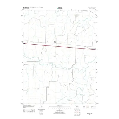 2011 Nelson2011 Print · USGSSaline County at the dawn of the 2010s reveals a landscape defined by the winding paths of the Blackwater River and Lamine River. Researchers can trace the heritage of rural communities like Ridge Prairie and Postal, or locate family sites at Raines Cemetery.
 - 2011 Map of Sedalia East, 2011 Print
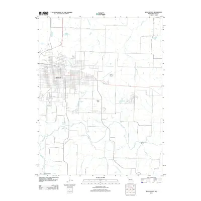 2011 Sedalia East2011 Print · USGSSedalia and its eastern rural fringes are documented here just after the first decade of the new millennium. Researchers can trace local genealogy through sites like Crown Hill Cemetery or locate the rural Backbone Ford along Flat Creek.
 - 2011 Map of La Monte, 2011 Print
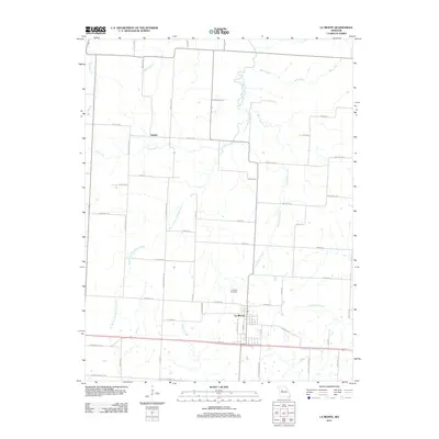 2011 La Monte2011 Print · USGSThe Pettis County plains around La Monte are captured here during a period of modern agricultural stability. Genealogists and local historians can trace the creek-side paths of Stokley or locate family plots within the La Monte Cemetery.
 - 2011 Map of Otterville West, 2011 Print
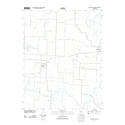 2011 Otterville West2011 Print · USGSThe Pettis County countryside near Smithton is captured here during the early twenty-first century, showing the enduring layout of rural Missouri settlements. Researchers can trace historic transit corridors like Butterfield Stage Rd and locate family sites near Smithton Cemetery or along Flat Creek.
 - 2011 Map of Windsor, 2011 Print
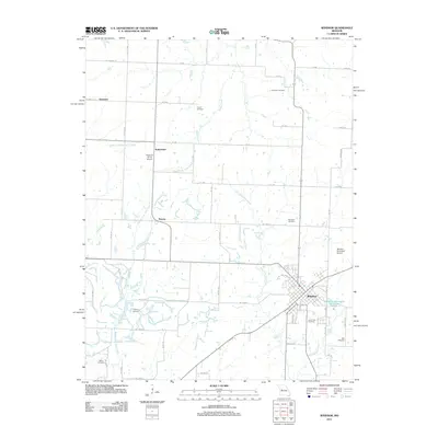 2011 Windsor2011 Print · USGSThe rural landscape around Windsor is shown in detail during the early twenty-first century. Genealogists and local historians can trace family roots at numerous burial sites like Laurel Oak Cemetery and Woodard Cemetery or locate the old settlements of Bowen and Sutherland.
 - 2011 Map of Green Ridge South, 2011 Print
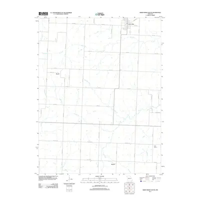 2011 Green Ridge South2011 Print · USGSGreen Ridge and the surrounding Missouri countryside are documented here in the early twenty-first century, showcasing a landscape of small settlements and prairie creeks. Genealogists can locate Prairie Chapel Cemetery or trace family-named roads near Bryson and Brandon.
 - 2011 Map of Sweet Springs, 2011 Print
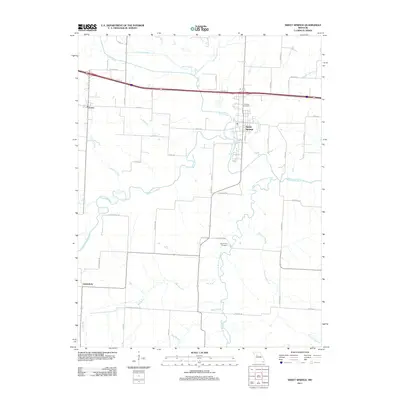 2011 Sweet Springs2011 Print · USGSThe Saline County countryside comes into focus in the early 2010s as a network of river-fed valleys and rural townships. Researchers can trace the layout of Sweet Springs, locate the Fairview Cemetery, and follow the winding course of the Blackwater River.
 - 2011 Map of Hughesville, 2011 Print
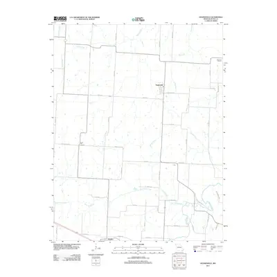 2011 Hughesville2011 Print · USGSThe rural prairie of Pettis County comes into focus in the early 21st century, showing a landscape defined by its creek valleys and agricultural roots. Researchers can locate family landmarks like High Point Cemetery and the small settlements of Hughesville and Dresden.
 - 2011 Map of Houstonia, 2011 Print
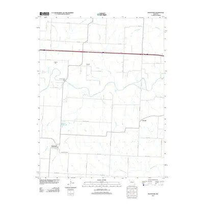 2011 Houstonia2011 Print · USGSHoustonia and the surrounding Pettis County prairies are shown here in the early 21st century, dominated by the Blackwater River. Genealogists and local historians can locate Houstonia Cemetery, the settlement of Tedieville, and landmarks like Coppers Hill.
 - 2011 Map of Sedalia West, 2011 Print
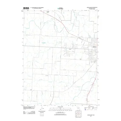 2011 Sedalia West2011 Print · USGSWestern Pettis County comes into focus in the early 2000s, showing the outskirts of a growing regional hub. Researchers can trace land use around Sedalia, locate burial sites like Quisenberry Cemetery, and map old rail sidings such as Campbell Siding.
 - 2011 Map of Bahner, 2011 Print
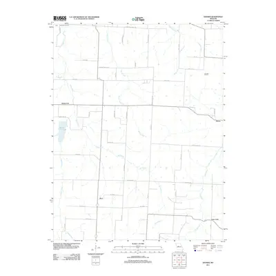 2011 Bahner2011 Print · USGSThe crossroads of Mora and Bahner come into focus in this early twenty-first-century survey of the Pettis County countryside. Researchers can trace rural lineages through landmarks like Bethlehem Cemetery and family-named routes such as Moriarty Rd.
 - 2011 Map of Beaman, 2011 Print
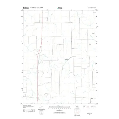 2011 Beaman2011 Print · USGSPettis County is captured in the early twenty-first century as a landscape of rural settlements and meandering waterways. Genealogists and researchers can trace family landmarks and local burial sites like High Hill Cemetery, Clopton Cemetery, and the community at Georgetown.
 - 2011 Map of Burtville, 2011 Print
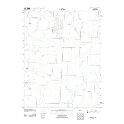 2011 Burtville2011 Print · USGSBurtville and Owsley serve as the primary hubs for this Johnson County landscape during the early twenty-first century. Genealogists and local historians can locate the Ellis Cemetery, Prairie Home School, and the Lake Sexton Airport.
 - 2011 Map of Longwood, 2011 Print
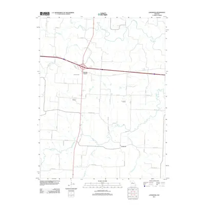 2011 Longwood2011 Print · USGSSaline County, Missouri, is captured in the early 21st century, showing the rural landscape around the crossroads of Marshall Junction. Genealogists can locate family landmarks like Bethlehem Cemetery, Cunningham Cemetery, and the historic settlement area of Longwood.
 - 2011 Map of Clifton City, 2011 Print
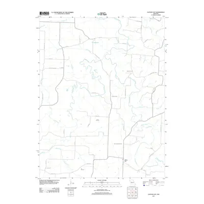 2011 Clifton City2011 Print · USGSThe Lamine River valley south of Pilot Grove comes into focus in this early twenty-first-century survey of rural Missouri. Genealogists can trace family footprints through numerous rural burial grounds like Irving Cemetery and Saint Josephs Cemetery near Clifton City.
 - 2011 Map of Green Ridge North, 2011 Print
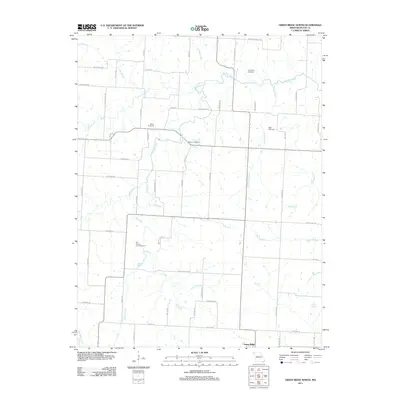 2011 Green Ridge North2011 Print · USGSThe northern reaches of Pettis County appear in detail during the early twenty-first century, showing a landscape defined by ancestral family plots and creek crossings. Trace local lineage at Old Hickory Point Cemetery or follow the waters of Muddy Creek and Elk Fork.
 - 2011 Map of Ionia, 2011 Print
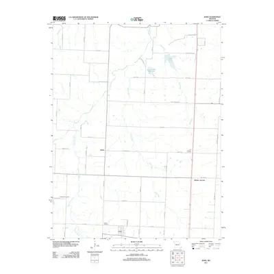 2011 Ionia2011 Print · USGSBenton County's rural townships are mapped here in the early twenty-first century, showing the enduring agricultural character of the region. Local researchers can locate family sites and cemeteries like Point Pleasant Cemetery, the settlement of Manila, and the rail-linked Windsor Junction.
 - 2011 Map of Pyrmont, 2011 Print
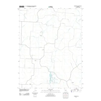 2011 Pyrmont2011 Print · USGSThe rural landscape around Pyrmont is captured here in the early 21st century, showing a community built around its creeks and country schools. Researchers can trace family history at Lamb Cemetery or explore old transit routes like the Butterfield Trl and Silver Mine Rd.
 - 2011 Map of Knob Noster, 2011 Print
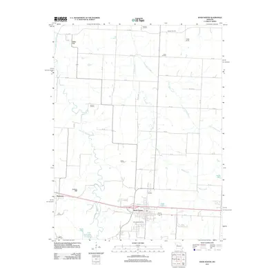 2011 Knob Noster2011 Print · USGSKnob Noster and the Johnson County countryside are shown here at the start of the decade, revealing a landscape of family farms and rural cemeteries. Genealogists and historians can trace Saint Joseph Cemetery, Carbon Hill, and the vanished tracks near Valley City.
 - 2014 Map of Ionia, 2014 Print
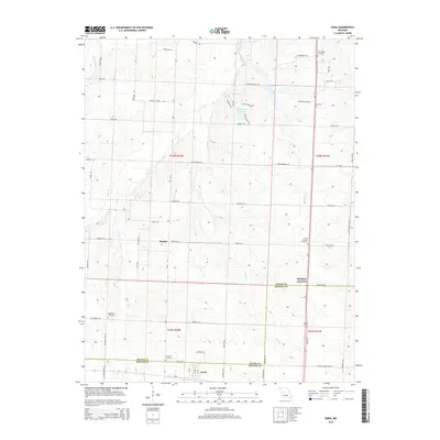 2014 Ionia2014 Print · USGSThe Pettis and Benton County line in Missouri comes to life in this recent study of rural settlements and waterways. Researchers can locate local landmarks like Windsor Junction and Ionia, or trace family history at Point Pleasant Cemetery and New Bethel Cemetery.
 - 2014 Map of Green Ridge South, 2014 Print
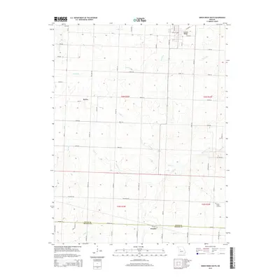 2014 Green Ridge South2014 Print · USGSCentral Missouri's rural agricultural landscape is detailed here at the Pettis and Benton county line in the early 2000s. Genealogists can trace family farm locations near Green Ridge or locate sites such as the Prairie Chapel Cemetery and the settlement of Bryson.
 - 2014 Map of Longwood, 2014 Print
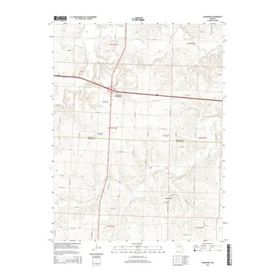 2014 Longwood2014 Print · USGSThe borderlands of Saline and Pettis counties are captured here in the early twenty-first century, centered on the transit hub of Marshall Junction. Genealogists can locate several historic burial sites, including the Witcher Cemetery, Cunningham Cemetery, and Longwood Cemetery.
 - 2014 Map of Knob Noster, 2014 Print
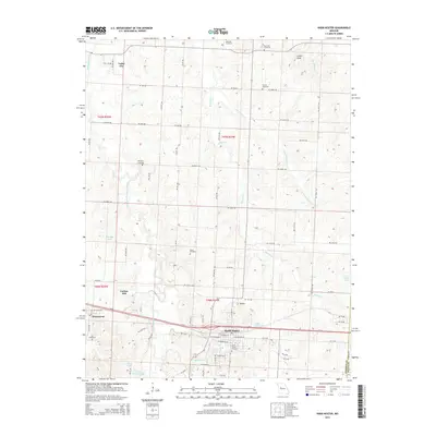 2014 Knob Noster2014 Print · USGSMid-Missouri prairie and creek valleys come into focus in this mid-2010s survey of the Johnson County countryside. Genealogists can locate several family burial grounds including Wampler Cemetery and Lee Cemetery near the settlements of Knob Noster and Montserrat.
 - 2014 Map of Sweet Springs, 2014 Print
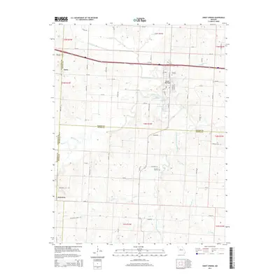 2014 Sweet Springs2014 Print · USGSSweet Springs and the borderlands of Saline and Lafayette counties appear here in the early twenty-first century. Researchers can trace rural family roots at Holy Cross Cemetery, the community of Emma, or along the Blackwater River valley.
 - 2014 Map of Pyrmont, 2014 Print
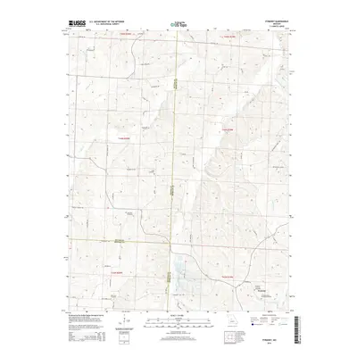 2014 Pyrmont2014 Print · USGSThe Morgan County countryside near Pyrmont is documented here as it appeared in the early twenty-first century. Researchers can trace the heritage of local families through numerous burial sites like Lake Creek Cemetery and Lamb Cemetery near Haw Cr.
Showing maps 1-25 of 57
Top cities of Pettis County
- Sedalia historical maps
- La Monte historical maps
- Smithton historical maps
- Green Ridge historical maps
- Houstonia historical maps
- Hughesville historical maps
Frequently asked questions
- What are the different types of historical maps available for Pettis County?
- What is the oldest map of Pettis County?
- Where can I purchase historical maps of Pettis County for my home or office?
- Where can I download high-res historical maps of Pettis County?
- Are there historical topographic maps available for Pettis County?
- Is there historical aerial imagery available for Pettis County?
- Where are historical maps of Pettis County sourced from?