2010s Maps of Reynolds County, Missouri
Explore 66 historic maps of Reynolds County from the 2010s. These maps offer a rare glimpse into what life looked like during the 2010s — showing old roads, neighborhoods, homes, and landmarks that have changed or disappeared over time.
Whether you're researching your family's past, planning a metal detecting trip, or studying how Reynolds County's landscape evolved across the 2010s, these high-resolution maps are a powerful tool for exploring the history of this region.
- Focus on a specific era: All maps on this page are from the 2010s, giving you a focused view of this time period.
- See what’s changed: Compare century-old streets, trails, and buildings to today's modern landscape using overlays and satellite layers.
- Research with precision: Use these maps for genealogy, historical research, land use analysis, or educational projects.
- View, download, or print: Maps are fully viewable online in high resolution, and can be downloaded or printed for your own records.
Start exploring Reynolds County's history through authentic maps from the 2010s. This is your window into the past.
Reynolds County, MO maps
(66)- 2011 Map of Piedmont, 2011 Print
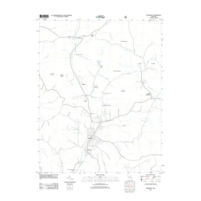 2011 Piedmont2011 Print · USGSPiedmont and the surrounding Wayne County hills are documented here in the early twenty-first century. Researchers can trace family history through local landmarks like Virginia Settlement, Diesel-Moore Cemetery, and the northern community of Gads Hill.
 - 2011 Map of Lesterville SE, 2011 Print
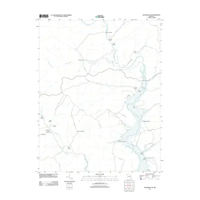 2011 Lesterville SE2011 Print · USGSIron County's river-cut hills are documented here in the early 2000s, showing a landscape defined by the Black River and its many tributaries. Genealogists and local historians can locate several family burial grounds, including Mann Cemetery, Hampton Cemetery, and Murphy Cemetery.
 - 2011 Map of Garwood, 2011 Print
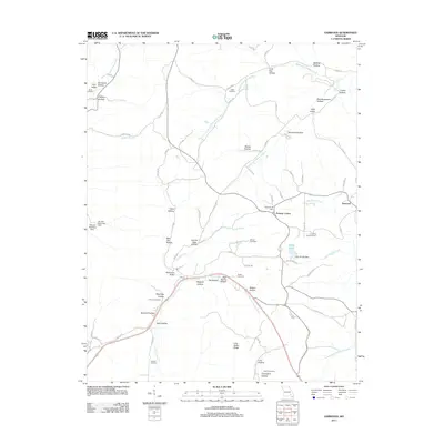 2011 Garwood2011 Print · USGSReynolds County settlements and family lands are preserved here during the early twenty-first century. Genealogists can trace local history through numerous burial sites like Smith Cemetery and Tedder Cemetery or landmarks like the Garwood Lookout Tower.
 - 2011 Map of Lesterville, 2011 Print
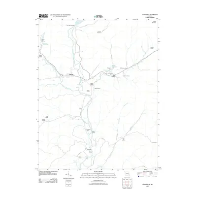 2011 Lesterville2011 Print · USGSLesterville and the forks of the Black River are captured here in 2011, showing the convergence of river culture and rugged Ozark topography. Genealogists and local historians can locate remote family landmarks like Dobbins Cemetery, Scudder Camp, and the settlement of Smithboro.
 - 2011 Map of Clearwater Dam, 2011 Print
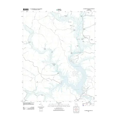 2011 Clearwater Dam2011 Print · USGSWayne County and the Black River basin are documented here in the early twenty-first century as the reservoir landscape matured. Researchers can locate family landmarks and burial sites like Seematter Cemetery, Doe Run Cemetery, and the engineering of the Clearwater Dam.
 - 2011 Map of Ellington, 2011 Print
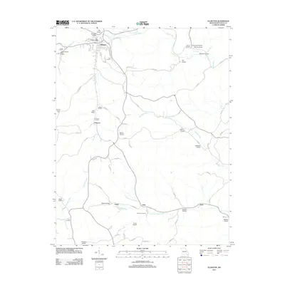 2011 Ellington2011 Print · USGSThe community of Ellington and its surrounding hollows are detailed here during the early twenty-first century. Researchers can trace numerous family burial sites such as Imboden Cemetery and Smith Cemetery or locate landmarks like the Deer Run Lookout Tower.
 - 2011 Map of Redford, 2011 Print
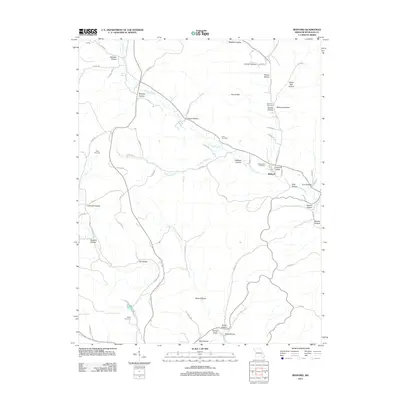 2011 Redford2011 Print · USGSReynolds County at the turn of the decade is mapped here, showing the rural settlement patterns along the Ozark waterways. Genealogists can locate several family burial grounds including Bowles Cemetery and Price Cemetery near the banks of Sinking Creek.
 - 2011 Map of Des Arc, 2011 Print
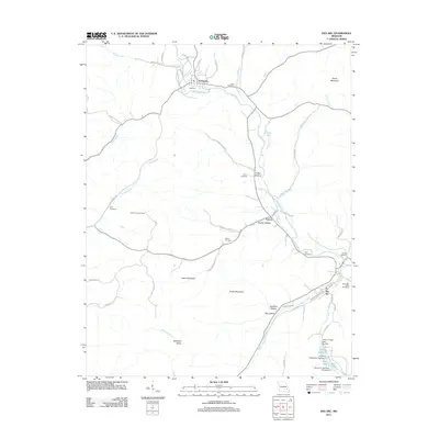 2011 Des Arc2011 Print · USGSIron County's rural communities and valley settlements are captured here in the early twenty-first century. Researchers can locate family burial grounds like Ruble Cemetery and trace land features from Slabtown Valley to the Vulcan Lookout Tower.
 - 2011 Map of Johnson Shut-Ins, 2011 Print
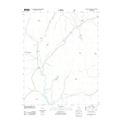 2011 Johnson Shut-Ins2011 Print · USGSThe Reynolds County highlands are documented here in the early twenty-first century, showcasing the intersection of state park lands and major hydroelectric infrastructure. Researchers can locate family burial sites like Taum Sauk Cemetery and Fitzgerald Cemetery or trace the settlements of Monterey and Munger.
 - 2011 Map of Centerville, 2011 Print
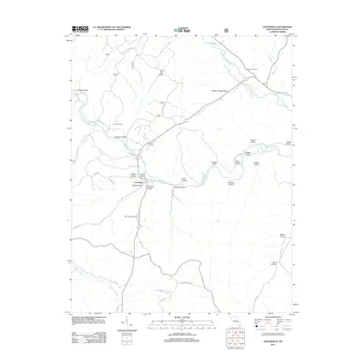 2011 Centerville2011 Print · USGSCenterville and the surrounding Reynolds County hills are shown in this contemporary Ozark survey. Family history researchers can locate several local burial grounds including Howell Cemetery and Rayfield Cemetery, or trace the winding waters of Sinking Creek.
 - 2011 Map of Oates, 2011 Print
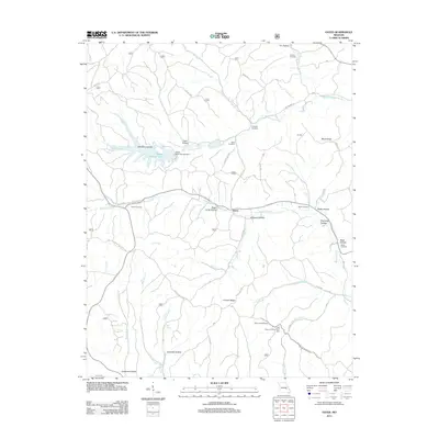 2011 Oates2011 Print · USGSThe rural hills of Reynolds County are seen here in the early 21st century, centered on the settlement of Oates. Researchers can trace old family burial grounds like Trolinger Cemetery and Webb Cemetery or the industrial scale of the Amax Tailing Pond.
 - 2011 Map of Van Buren North, 2011 Print
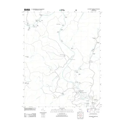 2011 Van Buren North2011 Print · USGSThe Current River valley north of Van Buren is shown here in the early twenty-first century, featuring a landscape of deep hollows and active river access points. Genealogists and local historians can locate family landmarks like Maberry Cemetery, Beal Landing, and the Collins Cemetery.
 - 2011 Map of Powder Mill Ferry, 2011 Print
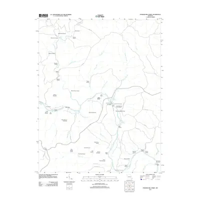 2011 Powder Mill Ferry2011 Print · USGSThe Current River valley and its intricate Ozark hollows are detailed here during the early twenty-first century. Genealogists and local historians can trace family-named landmarks like Williams Mountain, Peter Mooney Mountain, and the crossing at Powder Mill Ferry.
 - 2011 Map of Corridon, 2011 Print
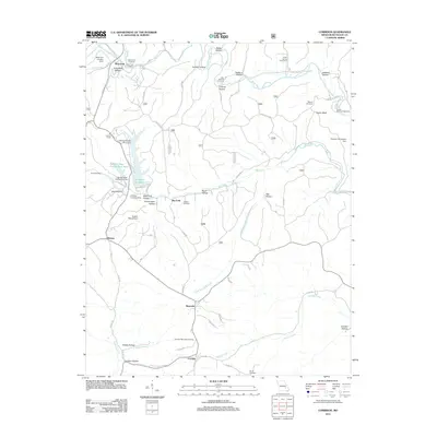 2011 Corridon2011 Print · USGSReynolds County in the early twenty-first century reveals a landscape where industrial mining infrastructure meets quiet Ozark settlements. Genealogists and researchers can trace the locations of Corridon-Reynolds Cemetery, the Fletcher Mine Clarification Basin, and Sutton Bluff.
 - 2011 Map of Exchange, 2011 Print
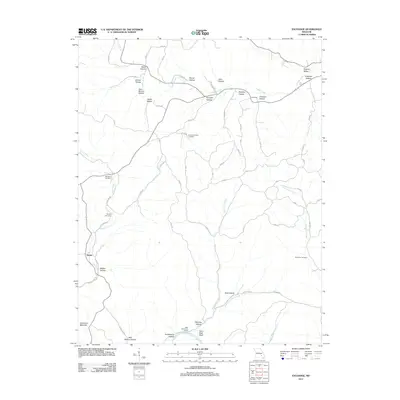 2011 Exchange2011 Print · USGSThe Shannon County hills are mapped here during the early twenty-first century, showing the rural communities of Exchange and Deslet. Researchers can trace local lineage through Pumpkin Hollow Cemetery or explore the river corridor at Paint Rock Bluff.
 - 2011 Map of Corridon SE, 2011 Print
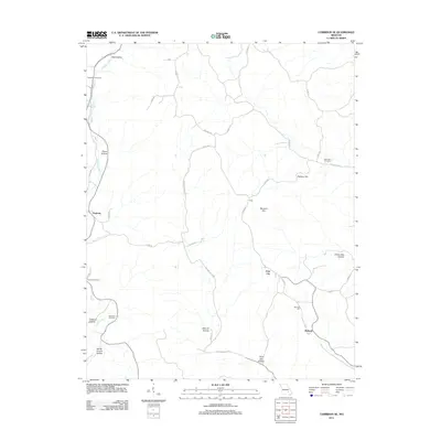 2011 Corridon SE2011 Print · USGSReynolds County at the start of the 2010s is a landscape of high ridges and named hollows. Genealogists and historians can trace family locations through rural landmarks like Sutterfield Cemetery, Fruit City, and the curiously named Which Church Hollow.
 - 2012 Map of Stone Hill, 2012 Print
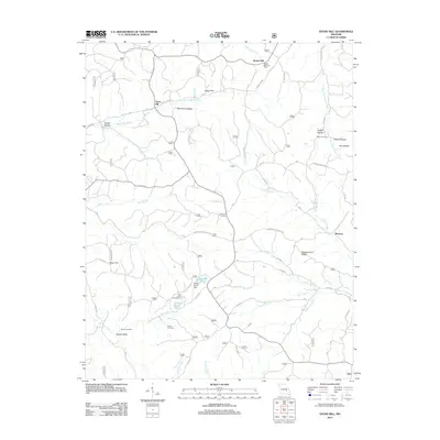 2012 Stone Hill2012 Print · USGSThe Dent County hills are mapped in the early twenty-first century, showing a landscape of deep hollows and creek-side settlements. Genealogists and historians can locate Howes Mill, Stone Hill, and family sites like Scotia Cemetery or Parker Cemetery.
 - 2012 Map of Midridge, 2012 Print
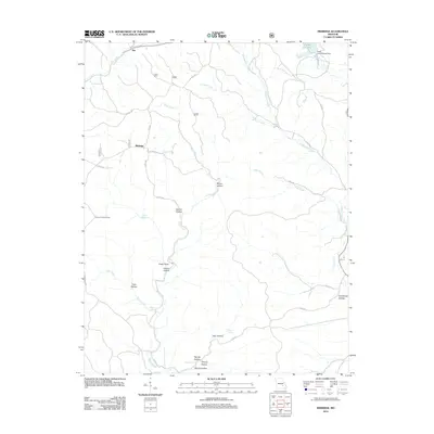 2012 Midridge2012 Print · USGSMidridge and the settlement of Rat are shown here in the Missouri Ozarks during the early twenty-first century. Genealogists and hikers can trace family-named landmarks such as Graveyard Hollow and McIntire Spring, or locate the Himont Lookout Tower.
 - 2012 Map of Bunker, 2012 Print
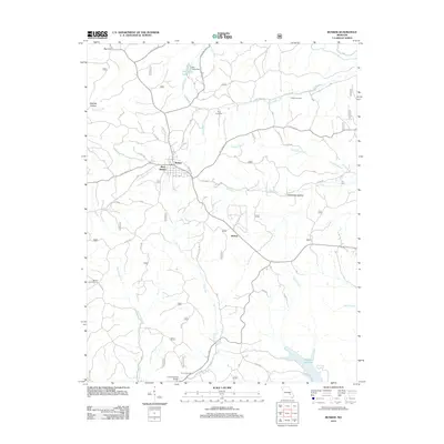 2012 Bunker2012 Print · USGSBunker and its neighboring hollows are shown in this modern survey of the Missouri Ozarks. Genealogists and researchers can locate Estep Cemetery, trace the waters of Bee Fork, or find the Bunker Lookout Tower overlooking the hills.
 - 2012 Map of Greeley, 2012 Print
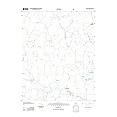 2012 Greeley2012 Print · USGSReynolds County in the early 2010s shows a landscape where industrial mining infrastructure meets quiet Ozark settlements. Genealogists and hikers can trace old family sites like Camden Cemetery or follow the paths of Henpeck Creek and Bills Creek.
 - 2012 Map of Edgehill, 2012 Print
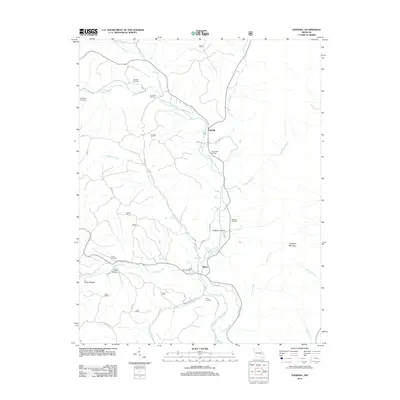 2012 Edgehill2012 Print · USGSThe Middle Fork Black River valley in the early 2010s reveals a quiet landscape of small settlements and family burial grounds. Genealogists and local historians can trace the heritage of the region through sites like Black River Cemetery, Edgehill, and Goggins Mountain.
 - 2012 Map of Ellington SE, 2012 Print
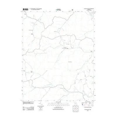 2012 Ellington SE2012 Print · USGSHadley and its surrounding hollows are captured in 2012, showing the rural character of this Ozark landscape near the headwaters of the Black River. Genealogists can locate several family landmarks like Potter Cemetery and Webb Cemetery or trace the early settlement of Hadley.
 - 2015 Map of Exchange, 2015 Print
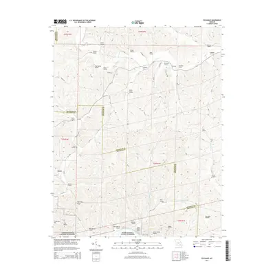 2015 Exchange2015 Print · USGSThe Missouri Ozarks are revealed in detail during the early twenty-first century as the Shannon and Reynolds county lines meet along the Current River. Researchers can trace remote family sites and burial grounds like Neeley Cemetery or locate the old settlements of Deslet and Exchange.
 - 2015 Map of Corridon SE, 2015 Print
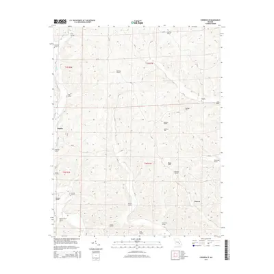 2015 Corridon SE2015 Print · USGSReynolds County’s rural landscape is captured here in the mid-2010s, showcasing a network of upland ridges and isolated valley settlements. Genealogists can locate several family burial sites including Santhuff Cemetery and Chitwood Cemetery near the community of Bedwell.
 - 2015 Map of Bunker, 2015 Print
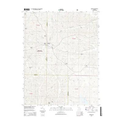 2015 Bunker2015 Print · USGSBunker and the surrounding Ozark woodlands appear here in the early twenty-first century as the community spans the Dent and Reynolds county lines. Researchers can trace family roots at Parks Cemetery, locate the Turner Natural Bridge, and explore the terrain of Melton.
Showing maps 1-25 of 66
Top cities of Reynolds County
Frequently asked questions
- What are the different types of historical maps available for Reynolds County?
- What is the oldest map of Reynolds County?
- Where can I purchase historical maps of Reynolds County for my home or office?
- Where can I download high-res historical maps of Reynolds County?
- Are there historical topographic maps available for Reynolds County?
- Is there historical aerial imagery available for Reynolds County?
- Where are historical maps of Reynolds County sourced from?