2020s Maps of Reynolds County, Missouri
Explore 22 historic maps of Reynolds County from the 2020s. These maps offer a rare glimpse into what life looked like during the 2020s — showing old roads, neighborhoods, homes, and landmarks that have changed or disappeared over time.
Whether you're researching your family's past, planning a metal detecting trip, or studying how Reynolds County's landscape evolved across the 2020s, these high-resolution maps are a powerful tool for exploring the history of this region.
- Focus on a specific era: All maps on this page are from the 2020s, giving you a focused view of this time period.
- See what’s changed: Compare century-old streets, trails, and buildings to today's modern landscape using overlays and satellite layers.
- Research with precision: Use these maps for genealogy, historical research, land use analysis, or educational projects.
- View, download, or print: Maps are fully viewable online in high resolution, and can be downloaded or printed for your own records.
Start exploring Reynolds County's history through authentic maps from the 2020s. This is your window into the past.
Reynolds County, MO maps
(22)- 2021 Map of Johnson Shut-Ins, 2021 Print
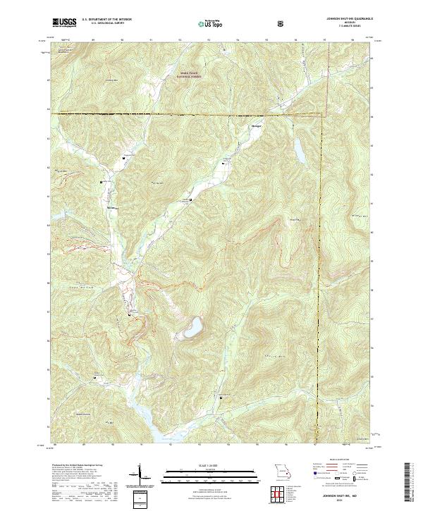 2021 Johnson Shut-Ins2021 Print · USGSThe Missouri Ozarks and the Saint Francois Mountains appear in detail in this modern survey of the Iron and Reynolds county line. Genealogists can trace family landmarks like the Edward Stricklan Cem, Walker Branch Cem, and the old settlement of Monterey.
 - 2021 Map of Edgehill, 2021 Print
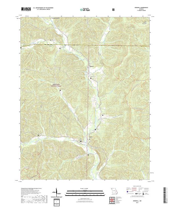 2021 Edgehill2021 Print · USGSThe Saint Francois Mountains near the Reynolds and Iron county line are shown in this 2021 study. Genealogists can trace family heritage at Black River Cem or Troutman Cem, while hikers can follow the path of the Ozark Trl.
 - 2021 Map of Piedmont, 2021 Print
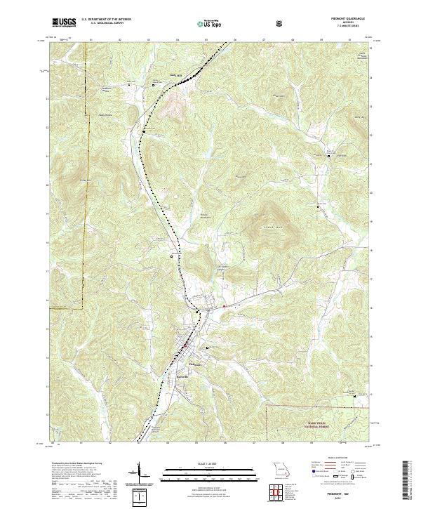 2021 Piedmont2021 Print · USGSSoutheast Missouri in the early 2020s remains a landscape of deep hollows and family homesteads within the Ozarks. Genealogists and historians can trace numerous rural burial sites like Anderson Cemetery and the Peach Tree Church Cemetery, or locate the settlements of Beckville and Gads Hill.
 - 2021 Map of Corridon, 2021 Print
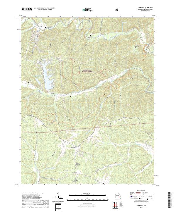 2021 Corridon2021 Print · USGSThe Missouri Ozarks are mapped here in the early 2020s, showing a landscape where small settlements like Reynolds and Corridon are tucked into deep valleys. Genealogists and hikers can trace family sites at West Fork Cem and Weible Cem or explore the Sutton Bluff Rec Area.
 - 2021 Map of Exchange, 2021 Print
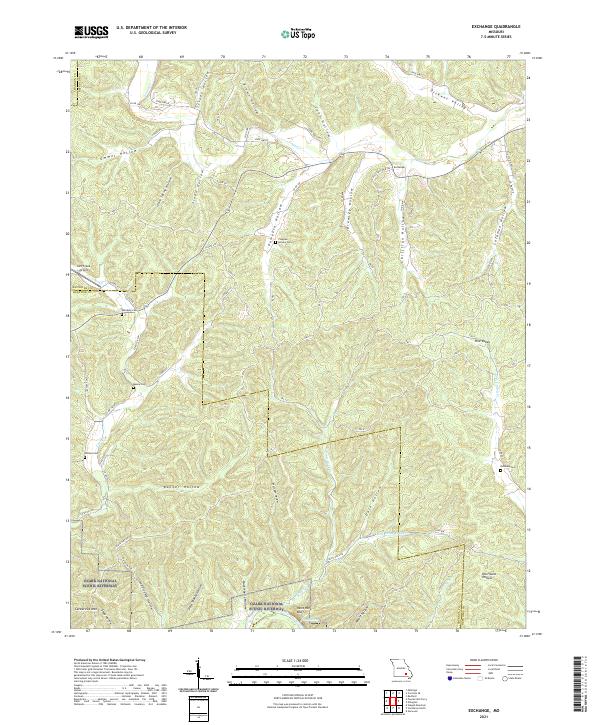 2021 Exchange2021 Print · USGSThe Missouri Ozarks are showcased here in the early twenty-first century, centered on the Exchange settlement and the protected Current River corridor. Genealogists can trace family landmarks like Pumpkin Hollow Cem, Massie Cem, and Phillips Cem.
 - 2021 Map of Greeley, 2021 Print
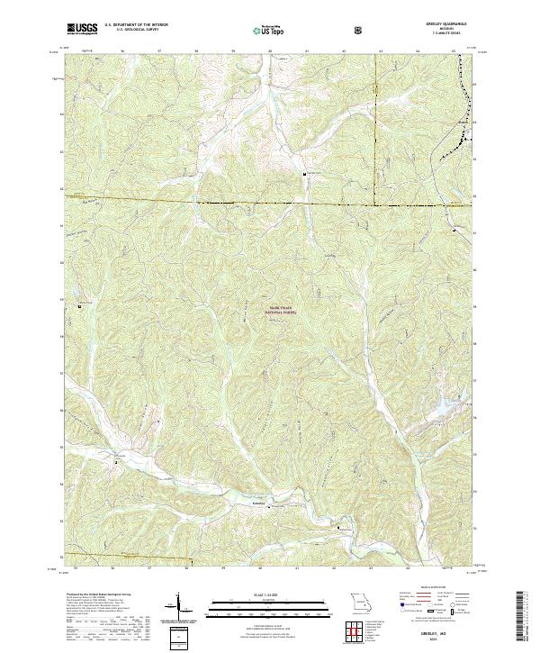 2021 Greeley2021 Print · USGSThe Reynolds and Dent County borderlands are shown here in the modern era, dominated by the Mark Twain National Forest. Genealogists can trace family names through numerous burial sites like Greeley Cem and Crossville Cem along the West Fork Black River.
 - 2021 Map of Van Buren North, 2021 Print
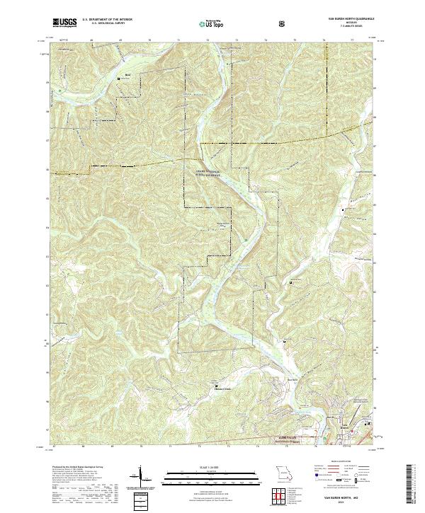 2021 Van Buren North2021 Print · USGSThe Ozark river country comes into focus in this recent survey of Carter County, where the winding Current River meets the hills of the Mark Twain National Forest. Researchers can locate several remote burial sites like Collins Cem and Reed Cem alongside distinctive river landmarks such as Watermelon Shoal.
 - 2021 Map of Centerville, 2021 Print
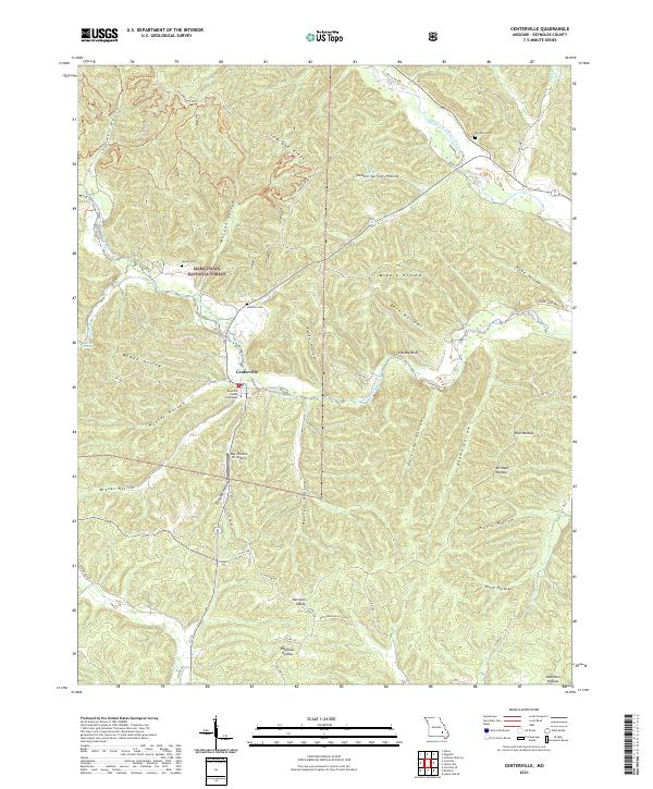 2021 Centerville2021 Print · USGSCenterville and the surrounding Ozark woodlands appear in sharp detail during the early 2020s. Genealogists can locate family-named sites like Howell Cem and Rayfield Hollow or trace the early paths of Old Hwy 21 near the Reynolds County Courthouse.
 - 2021 Map of Bunker, 2021 Print
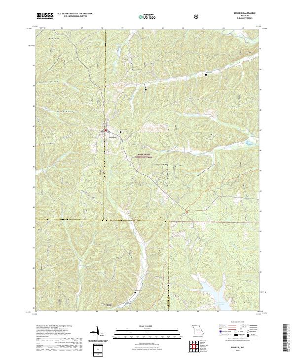 2021 Bunker2021 Print · USGSBunker and the surrounding Ozark woodlands appear in high detail during this contemporary survey. Researchers can locate family landmarks like Parks Cemetery and Turner Cemetery, or trace the path of Big Creek past the Turner Natural Bridge.
 - 2021 Map of Clearwater Dam, 2021 Print
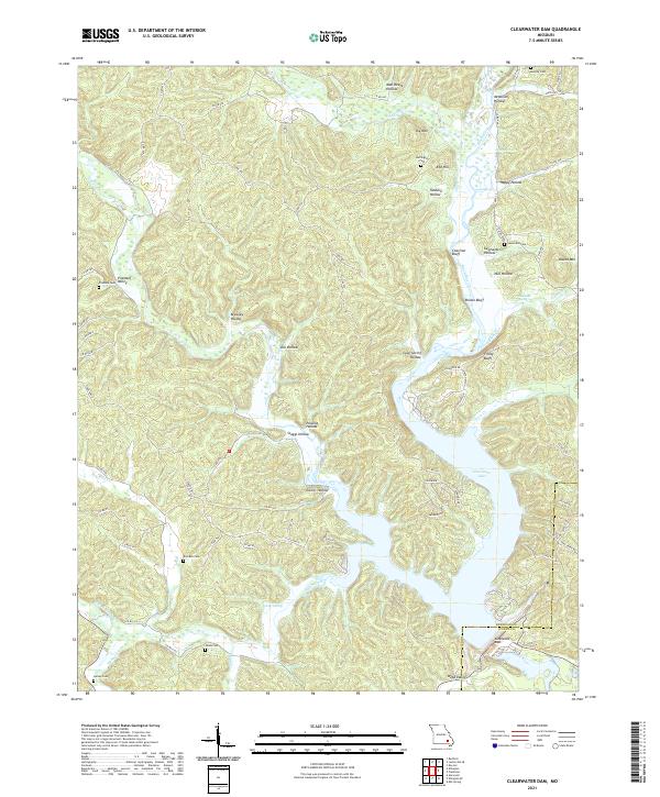 2021 Clearwater Dam2021 Print · USGSIn the Ozark foothills at the turn of the decade, this survey captures the intersection of water management and rural life. Genealogists can locate family-named landmarks like Pinedale Cem, Carter Spring, and Webb Valley near Clearwater Dam.
 - 2021 Map of Lesterville SE, 2021 Print
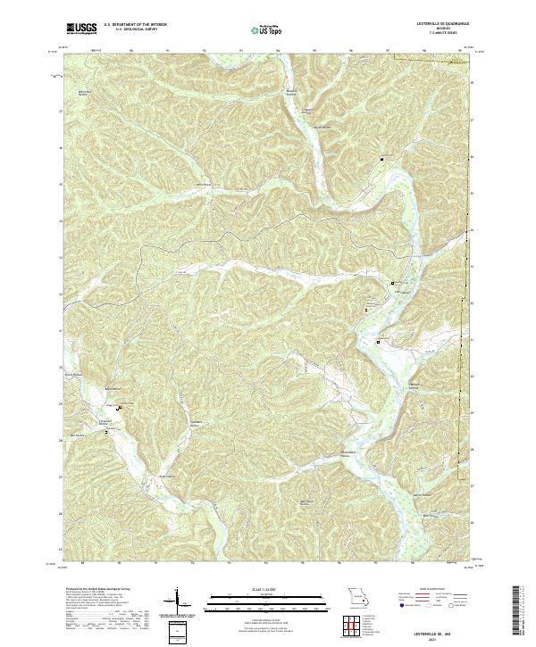 2021 Lesterville SE2021 Print · USGSReynolds County and Iron County meet along the Black River in this 2021 survey of the Missouri Ozarks. Researchers can trace family history through numerous burial sites like James Wesley Lewis Cem, Rutter Cem, and Skaggs Cem.
 - 2021 Map of Midridge, 2021 Print
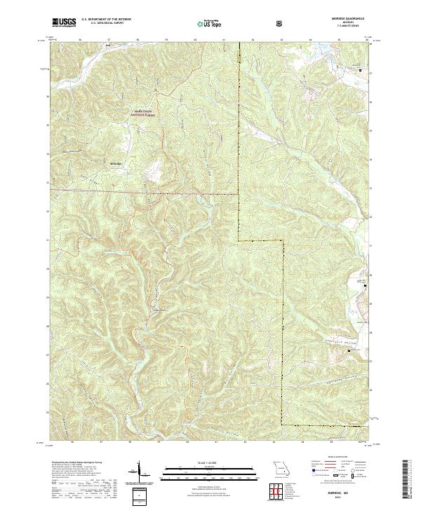 2021 Midridge2021 Print · USGSShannon and Reynolds counties are shown here in the early 2020s, dominated by the timbered ridges of the Mark Twain National Forest. Local historians can trace family sites at the Nuckols Cem or follow the Ozark Trl through Barton Hollow.
 - 2021 Map of Stone Hill, 2021 Print
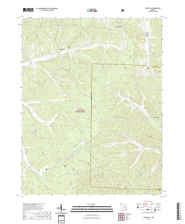 2021 Stone Hill2021 Print · USGSThe Ozark highlands of Dent and Reynolds Counties are documented here in recent years, showing a landscape shaped by narrow hollows and forest ridges. Genealogists can locate family landmarks like Nelson Schoolyard Graveyard and Parker Cem near Howes Mill.
 - 2021 Map of Garwood, 2021 Print
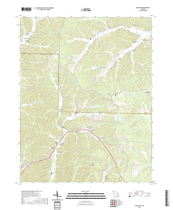 2021 Garwood2021 Print · USGSThe Ozark hollows along the Reynolds and Carter county line were still home to many generational family cemeteries and small valleys in 2021. Genealogists and historians can trace local family roots at Smith Cem, Harris Cem, and the settlement of Garwood.
 - 2021 Map of Ellington SE, 2021 Print
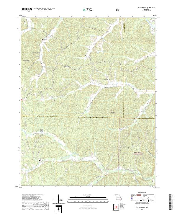 2021 Ellington SE2021 Print · USGSSoutheast Missouri at the intersection of Carter, Wayne, and Reynolds counties reveals a landscape defined by deep-seated family roots and timberlands. Genealogists and hikers can trace historical burials at Potter Cem or explore the drainage of Big Brushy Cr and Webb Cr.
 - 2021 Map of Oates, 2021 Print
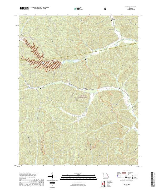 2021 Oates2021 Print · USGSThe community of Oates and the deep hollows of the Ozarks are detailed here during the early twenty-first century. Genealogists can locate several family burial grounds, including Trolinger Cem and Webb Cem, while outdoorsmen can trace Karkagne Drive.
 - 2021 Map of Corridon SE, 2021 Print
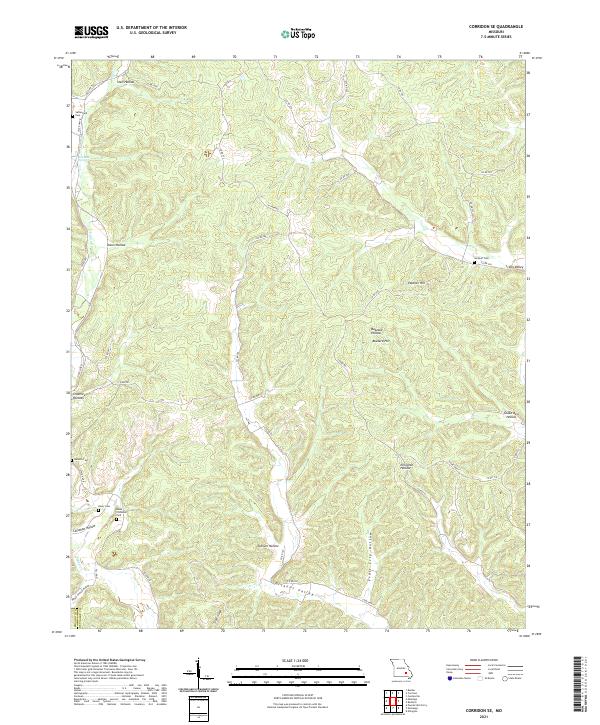 2021 Corridon SE2021 Print · USGSThe Reynolds and Shannon County line near Ellington is captured here in recent detail, showing a landscape of deep Ozark hollows. Researchers can locate family sites like Sutterfield Cem and Neely Cem or follow the paths of N Tram Rd and S Tram Rd.
 - 2021 Map of Redford, 2021 Print
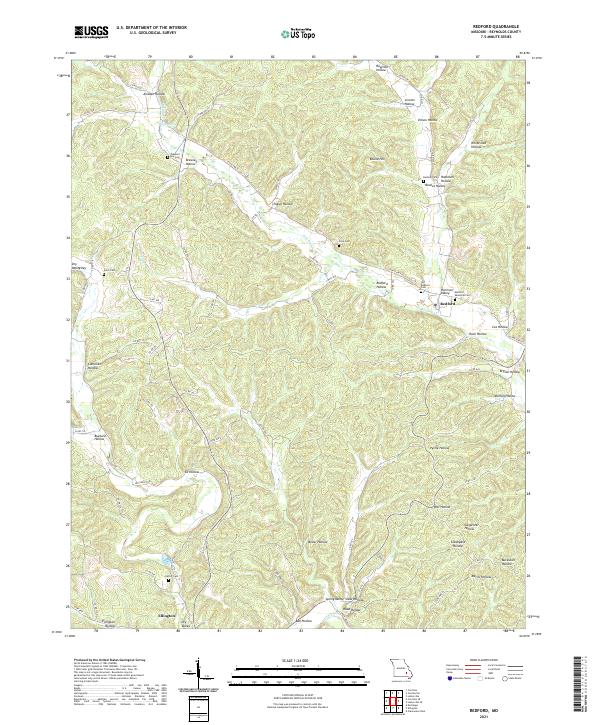 2021 Redford2021 Print · USGSReynolds County, Missouri, is shown here in the early twenty-first century, mapping the deep-hollow topography around the town of Redford. Genealogists and local historians can trace family burial sites like Durham Cem and Pleasant Hill Cem while following the winding paths of Sinking Cr.
 - 2021 Map of Powder Mill Ferry, 2021 Print
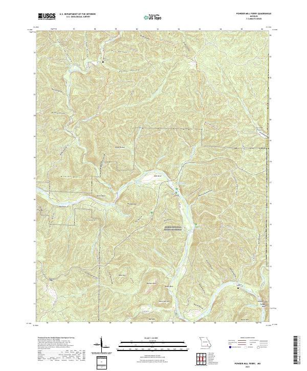 2021 Powder Mill Ferry2021 Print · USGSThe Current River corridor in Shannon County comes to life in this contemporary survey of the Ozark National Scenic Riverways. Researchers can find family landmarks at Blair's Creek Cem and trace the historic crossing at Powder Mill Ferry.
 - 2021 Map of Des Arc, 2021 Print
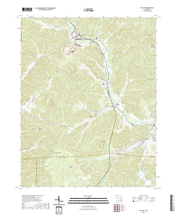 2021 Des Arc2021 Print · USGSThe northern edge of the Ozark foothills comes to life here in the early 2020s, centered on the historic communities of Annapolis and Des Arc. Researchers can trace family history through local landmarks like Slabtown Valley, Sutton Cem, and the many hollows branching off Big Creek.
 - 2021 Map of Lesterville, 2021 Print
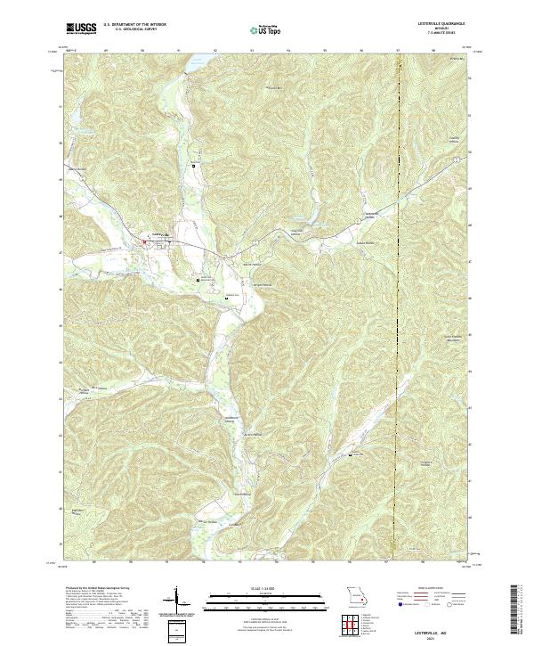 2021 Lesterville2021 Print · USGSThe Reynolds County backcountry at the edge of the Iron County line comes into focus in this recent survey of Lesterville. Researchers can trace old family burial grounds like Dobbins Cem and Hyatts Creek Cem or locate landmarks like Warner Bay Spring.
 - 2021 Map of Ellington, 2021 Print
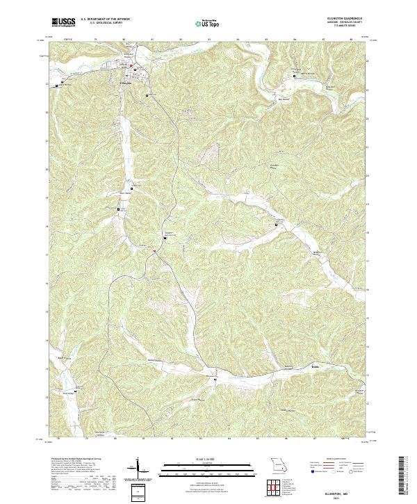 2021 Ellington2021 Print · USGSThe hills surrounding Ellington are captured here in the early twenty-first century, showing a landscape defined by its deep hollows and rural cemeteries. Researchers can locate numerous family burial grounds like Chitwood Cem and Dickson Cem or trace the routes through Darr Valley and Oakley Hollow.
End of results
Showing maps 1-22 of 22
Top cities of Reynolds County
Frequently asked questions
- What are the different types of historical maps available for Reynolds County?
- What is the oldest map of Reynolds County?
- Where can I purchase historical maps of Reynolds County for my home or office?
- Where can I download high-res historical maps of Reynolds County?
- Are there historical topographic maps available for Reynolds County?
- Is there historical aerial imagery available for Reynolds County?
- Where are historical maps of Reynolds County sourced from?