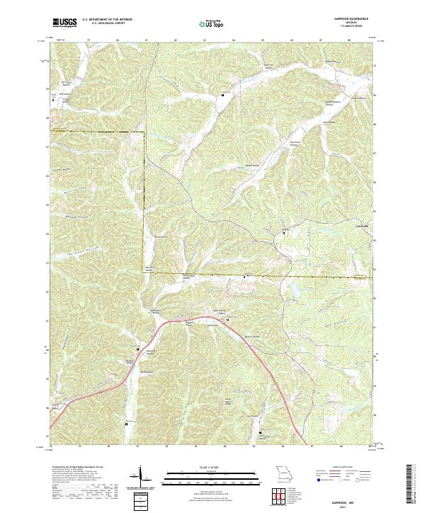
2021 Map of Garwood
USGS Topo · Published 2021About this map
Garwood sits at the junction of several county roads, serving as a focal point in a landscape defined by an intricate network of hollows and ridges along the Reynolds Co Carter Co line. The terrain is deeply incised by the drainage systems of Webb Creek and Carter Creek, which feed into local landmarks like Miller Lake. This 2021 survey reveals a high concentration of family and community burial sites, such as Smith Cem, Odell Cem, and Brame Cem, often situated near the heads of valleys or along elevated stretches like Latty Valley Ridge. The distribution of these cemeteries alongside features like Pine Valley and Buchanan Valley illustrates the long-standing settlement patterns in this part of the Ozarks, where habitation followed the narrow fertile corridors of Mutton Hollow and Aldrich Valley.
Find a feature on this map
94 named features on this map. Tap any name to fly to it.
Don’t see what you’re looking for? This feature index may not catch every label — zoom into the map to look around manually.
Map Details
Editions of this 2021 Garwood Map
This is the sole edition of this map. No revisions or reprints were ever made.
Other maps of this area

1928 · Cardareva
USGS Topo · 1:62,500

1943 · Ellington
USGS Topo · 1:62,500

1944 · Van Buren
USGS Topo · 1:62,500

1944 · Grandin
USGS Topo · 1:62,500

1945 · Ellington
USGS Topo · 1:62,500

1946 · Grandin
USGS Topo · 1:62,500

1946 · Van Buren
USGS Topo · 1:62,500

1949 · Rolla
USGS Topo · 1:250,000

1949 · Cardareva
USGS Topo · 1:62,500

1953 · Rolla
USGS Topo · 1:250,000