2010s Maps of Ripley County, Missouri
Explore 63 historic maps of Ripley County from the 2010s. These maps offer a rare glimpse into what life looked like during the 2010s — showing old roads, neighborhoods, homes, and landmarks that have changed or disappeared over time.
Whether you're researching your family's past, planning a metal detecting trip, or studying how Ripley County's landscape evolved across the 2010s, these high-resolution maps are a powerful tool for exploring the history of this region.
- Focus on a specific era: All maps on this page are from the 2010s, giving you a focused view of this time period.
- See what’s changed: Compare century-old streets, trails, and buildings to today's modern landscape using overlays and satellite layers.
- Research with precision: Use these maps for genealogy, historical research, land use analysis, or educational projects.
- View, download, or print: Maps are fully viewable online in high resolution, and can be downloaded or printed for your own records.
Start exploring Ripley County's history through authentic maps from the 2010s. This is your window into the past.
Ripley County, MO maps
(63)- 2011 Map of Dalton, 2011 Print
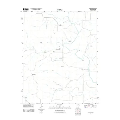 2011 Dalton2011 Print · USGSDalton and the surrounding Randolph County hills are shown here during the early 2000s as a landscape of river-valley settlements and ridge-top homesteads. Researchers can trace ancestral locations at the Stubblefield Cemetery, Elm Store, or the family-named Mine Hill.
 - 2011 Map of Warm Springs, 2011 Print
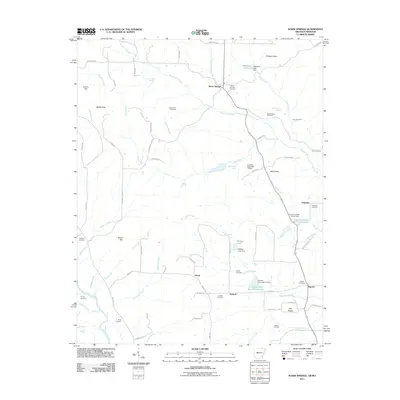 2011 Warm Springs2011 Print · USGSRandolph County's rural communities and natural springs are recorded here in the early twenty-first century. Researchers can trace dozens of family burial sites and landmarks like Warm Springs Cemetery, Phillips Knob, and the Eleven Point River.
 - 2011 Map of Corning, 2011 Print
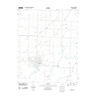 2011 Corning2011 Print · USGSCorning and the Black River bottoms appear here in the early twenty-first century, showing a landscape defined by water management and rural settlement. Genealogists can locate several historic burial sites, including Williams Cemetery, Redenbo Cemetery, and Moark Cemetery.
 - 2011 Map of Supply, 2011 Print
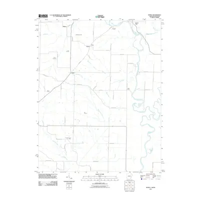 2011 Supply2011 Print · USGSThe Arkansas-Missouri borderlands at the start of the twenty-first century reveal a landscape of river-bend settlements and deep-rooted family history. Local researchers can trace family lines through several rural burial sites, including Old Pitman Cemetery, Ingram Cemetery, and Cox Cemetery.
 - 2011 Map of Maynard, 2011 Print
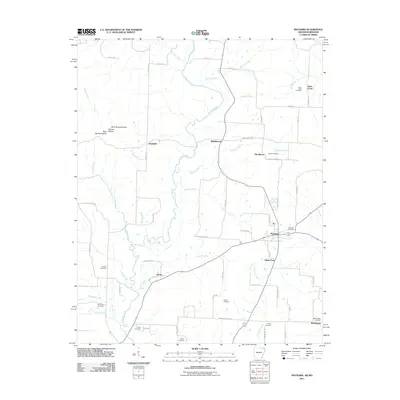 2011 Maynard2011 Print · USGSRandolph County's river valleys and rural crossroads are captured here in the early twenty-first century. Genealogists and local historians can trace family roots through numerous sites like Old Siloam, Brakebill, and the Maynard Cemetery.
 - 2011 Map of Datto, 2011 Print
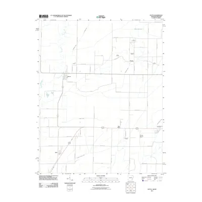 2011 Datto2011 Print · USGSClay County at the turn of the decade is shown through its intricate drainage networks and rural settlements along the Missouri border. Genealogists can trace family landmarks like Masterson Cemetery, Richwoods Cemetery, and the small community of Success.
 - 2011 Map of Grandin SW, 2011 Print
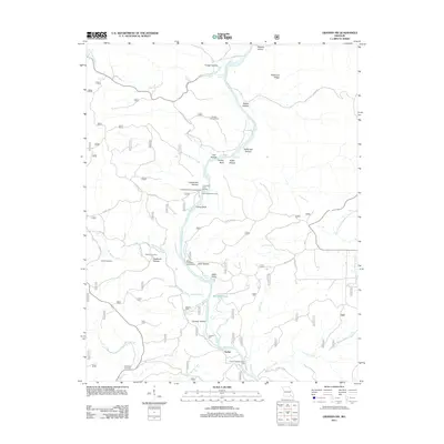 2011 Grandin SW2011 Print · USGSRipley County's river-carved terrain is documented here in the early twenty-first century as the Current River flows past timbered ridges and old mill sites. Researchers can trace family history through Ponder Cemetery and Hufstedler Cemetery or locate landmarks like Tuckers Mill and the Panther Lookout Tower.
 - 2011 Map of Briar, 2011 Print
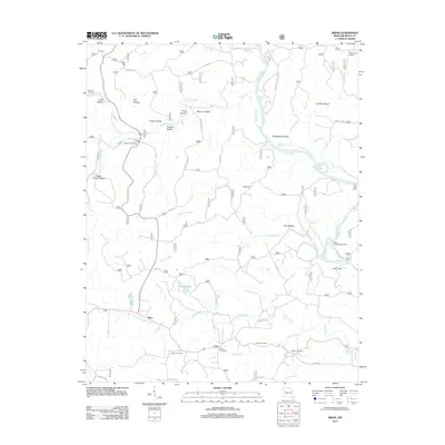 2011 Briar2011 Print · USGSRipley County is captured here at the start of the 2010s, showcasing the small settlements and deep hollows along the Current River. Genealogists and local historians can locate early burial sites like Wilson Cemetery and trace the rural surroundings of the Carie Post Office.
 - 2011 Map of Naylor, 2011 Print
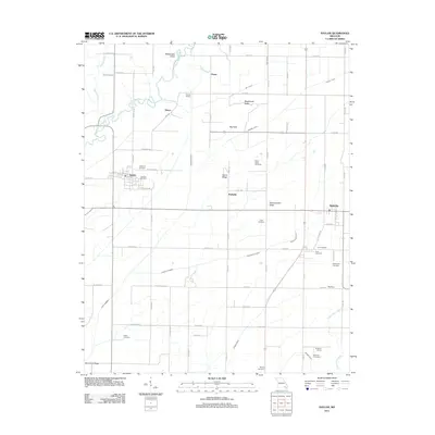 2011 Naylor2011 Print · USGSRipley County and Butler County appear here during the early twenty-first century, showcasing a rural landscape of ridges and river bends. Local historians can trace numerous family burial sites like Barfield Cemetery and old rail points like Gaines Switch.
 - 2011 Map of Grandin, 2011 Print
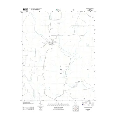 2011 Grandin2011 Print · USGSGrandin and the surrounding hollows of Carter County are documented here in the early twenty-first century. Genealogists can locate family landmarks like Roan Cemetery and Shiloh Cemetery while outdoorsmen trace the rugged Devils Backbone and Camp Semoca.
 - 2011 Map of Flatwoods, 2011 Print
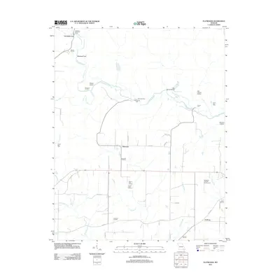 2011 Flatwoods2011 Print · USGSThe Little Black River and its many historic crossings define this corner of Ripley County in the early 2000s. Researchers can trace local heritage through numerous family-named sites, including Spring Hill Cemetery, Pennington Mill, and the Ernest Post Office.
 - 2011 Map of Poynor, 2011 Print
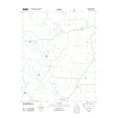 2011 Poynor2011 Print · USGSRipley County in the early twenty-first century remains a place of quiet rural settlements and family-named landmarks. Researchers can trace local heritage through the Doyle Post Office, the Ripley County Fairground, and numerous sites like Old Ponder Cemetery.
 - 2011 Map of Oxly, 2011 Print
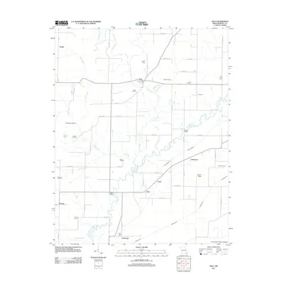 2011 Oxly2011 Print · USGSSoutheast Missouri at the edge of the Ozarks is documented here as it appeared in the early 21st century. Genealogists and historians can trace numerous rural burial grounds such as Stillwell Cemetery or locate old community markers like the Acorn Post Office and Oxly Lookout Tower.
 - 2011 Map of Doniphan North, 2011 Print
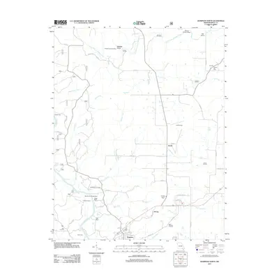 2011 Doniphan North2011 Print · USGSRipley County north of the Current River is captured here in the early twenty-first century. Genealogists can locate numerous local burial sites including McGee-Payne Cemetery and Riley Cemetery, along with old hubs like Pleasant Grove.
 - 2011 Map of Hogan Hollow, 2011 Print
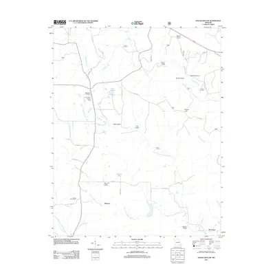 2011 Hogan Hollow2011 Print · USGSRipley County is captured in the early twenty-first century, showing a landscape defined by deep hollows and creek prongs. Genealogists can locate several family burial sites like Margaret Trainor Cemetery and landmarks such as Grandin Lookout Tower and Budapest.
 - 2011 Map of Fairdealing, 2011 Print
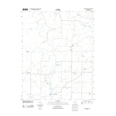 2011 Fairdealing2011 Print · USGSButler County as it appeared in the early 2010s reveals a rural landscape defined by the Little Black River and established family landholdings. Local historians can trace early community hubs like Fairdealing and find significant sites including Kremlin Mill and the Military Cemetery.
 - 2012 Map of Gatewood, 2012 Print
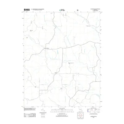 2012 Gatewood2012 Print · USGSRipley County, Missouri, is shown here in the early twenty-first century as a landscape of timbered hills and creek-bottom settlements. Researchers can trace the drainage of the Middle Fork Fourche Creek or locate landmarks like Mulvinia Lookout Tower and Celynda Post Office.
 - 2012 Map of Handy, 2012 Print
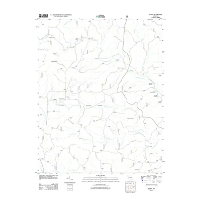 2012 Handy2012 Print · USGSThe rural landscape of Ripley County comes to life in this recent survey of the Missouri Ozarks. Genealogists and hikers can trace the winding hollows to find Bristol Cemetery, Hodo Camp, and the secluded waters of Big Barren Creek and Spout Spring.
 - 2012 Map of Bardley, 2012 Print
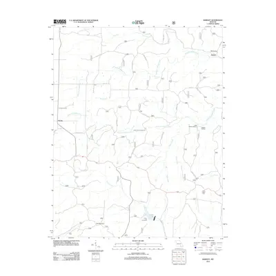 2012 Bardley2012 Print · USGSRipley County's rural landscape is documented here in the early twenty-first century, showing the crossroads of Bardley and Pine. Genealogists and local historians can trace family locations near Bardley Cemetery or find landmarks like the Briar Lookout Tower.
 - 2012 Map of Billmore, 2012 Print
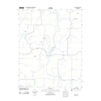 2012 Billmore2012 Print · USGSOregon County is seen here in the early twenty-first century, centered on the winding Eleven Point River and its rural settlements. Genealogists can locate family sites near Pleasant Hill Cemetery or trace early infrastructure at Thomasons Mill and the Water Post Office.
 - 2012 Map of Doniphan South, 2012 Print
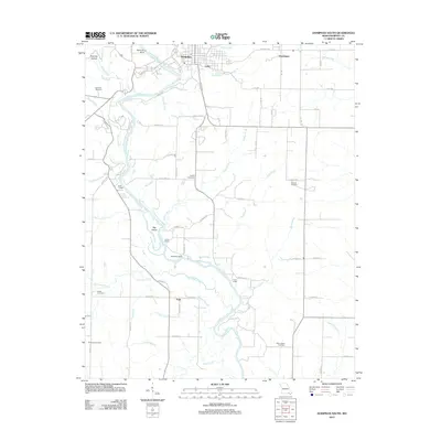 2012 Doniphan South2012 Print · USGSRipley County is centered on the Current River in the early 2010s, where small river-valley settlements and rural homesteads remain well-defined. Genealogists and historians can trace numerous family burial sites, from Towles Cemetery to Hancock Cemetery, alongside landmarks like Big Island.
 - 2014 Map of Datto, 2014 Print
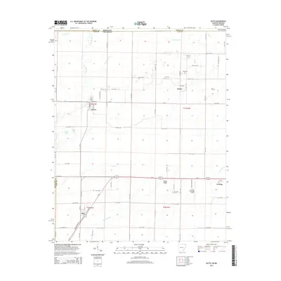 2014 Datto2014 Print · USGSClay County at the Arkansas-Missouri border is mapped here in the modern era, showing a landscape defined by industrial agriculture and small-town life. Genealogists can locate family sites at Masterson Cem and Green Cem, or trace the development of Success and Palatka.
 - 2014 Map of Dalton, 2014 Print
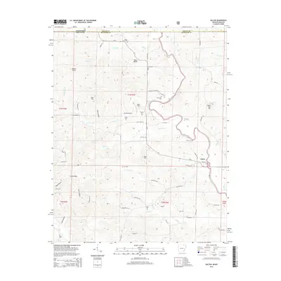 2014 Dalton2014 Print · USGSRandolph County, Arkansas, and the Missouri borderlands are shown here in the early twenty-first century. Researchers can trace family history through a high concentration of burial grounds like Stubblefield Cem and Yadkin Cem near the Eleven Point River.
 - 2014 Map of Maynard, 2014 Print
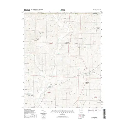 2014 Maynard2014 Print · USGSRandolph County, Arkansas, appears in the early twenty-first century as a landscape of river-bottom settlements and upland ridges. Researchers can locate numerous family burial sites and rural communities like Old Siloam, Maynard Cem, and the high ground of Tyer Ridge.
 - 2014 Map of Supply, 2014 Print
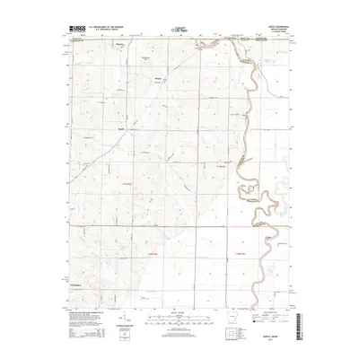 2014 Supply2014 Print · USGSThe Missouri-Arkansas borderlands come into focus in this recent study of the rural terrain between the Current River and Little Black River. Researchers can trace old family sites and burial grounds like the Old Pitman Cem, Allen Cem, and the small settlement of Supply.
Showing maps 1-25 of 63
Top cities of Ripley County
Frequently asked questions
- What are the different types of historical maps available for Ripley County?
- What is the oldest map of Ripley County?
- Where can I purchase historical maps of Ripley County for my home or office?
- Where can I download high-res historical maps of Ripley County?
- Are there historical topographic maps available for Ripley County?
- Is there historical aerial imagery available for Ripley County?
- Where are historical maps of Ripley County sourced from?