2020s Maps of Ripley County, Missouri
Explore 27 historic maps of Ripley County from the 2020s. These maps offer a rare glimpse into what life looked like during the 2020s — showing old roads, neighborhoods, homes, and landmarks that have changed or disappeared over time.
Whether you're researching your family's past, planning a metal detecting trip, or studying how Ripley County's landscape evolved across the 2020s, these high-resolution maps are a powerful tool for exploring the history of this region.
- Focus on a specific era: All maps on this page are from the 2020s, giving you a focused view of this time period.
- See what’s changed: Compare century-old streets, trails, and buildings to today's modern landscape using overlays and satellite layers.
- Research with precision: Use these maps for genealogy, historical research, land use analysis, or educational projects.
- View, download, or print: Maps are fully viewable online in high resolution, and can be downloaded or printed for your own records.
Start exploring Ripley County's history through authentic maps from the 2020s. This is your window into the past.
Ripley County, MO maps
(27)- 2020 Map of Warm Springs, 2020 Print
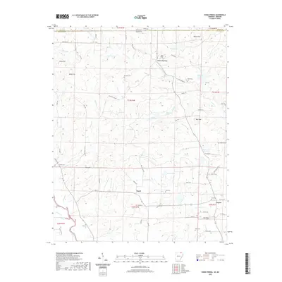 2020 Warm Springs2020 Print · USGSNear the Missouri border in the 2020s, this area of Randolph County remains a rural landscape defined by the Eleven Point River and many natural springs. Genealogists can trace family names through numerous burial sites including Macedonia Cem, Antioch Cem, and Roach Cem.
 - 2020 Map of Maynard, 2020 Print
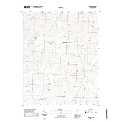 2020 Maynard2020 Print · USGSRandolph County in 2020 retains its rural character, defined by small river settlements and numerous family-named landmarks. Genealogists can trace local heritage through a high density of burial grounds, including the Maynard Cem, Foster Cem, and Glaze Creek Cem.
 - 2020 Map of Datto, 2020 Print
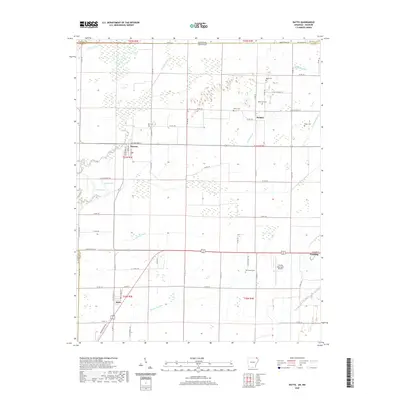 2020 Datto2020 Print · USGSThe Arkansas-Missouri borderlands are captured here in recent years, showing the structured agricultural landscape of Clay County. Researchers can trace rural lineages through family-named sites like Hitt Cem and Masterson Cem or explore the riverfront streets of Success.
 - 2020 Map of Dalton, 2020 Print
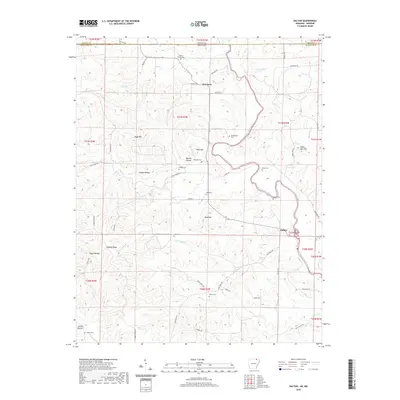 2020 Dalton2020 Print · USGSThe Missouri-Arkansas border region comes into focus in this recent study, centered on the winding Eleven Point River. Family historians can trace local roots through numerous burial sites like Walnut Grove Cemetery and Dalton Cemetery near the settlement of Dalton.
 - 2020 Map of Corning, 2020 Print
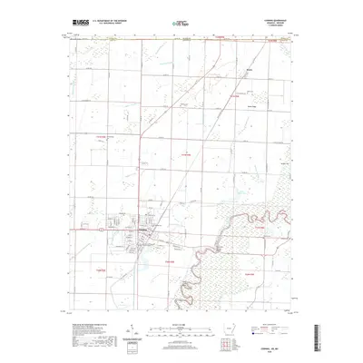 2020 Corning2020 Print · USGSCorning and the Missouri borderlands appear here in the early twenty-first century, showcasing a landscape of managed waterways and rural settlements. Researchers can locate the Clay County Courthouse Western District and trace family roots at Moark Cem or Redenbo Cem.
 - 2020 Map of Supply, 2020 Print
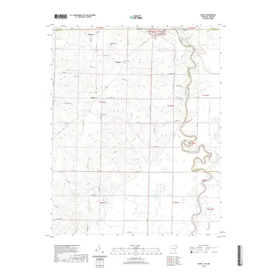 2020 Supply2020 Print · USGSThe Missouri-Arkansas border comes alive in this 2020 record of the Current River valley. Genealogists can trace family roots through Old Pitman Cem and Legate Cem, while water features like Peoples Lake mark the changing landscape.
 - 2021 Map of Oxly, 2021 Print
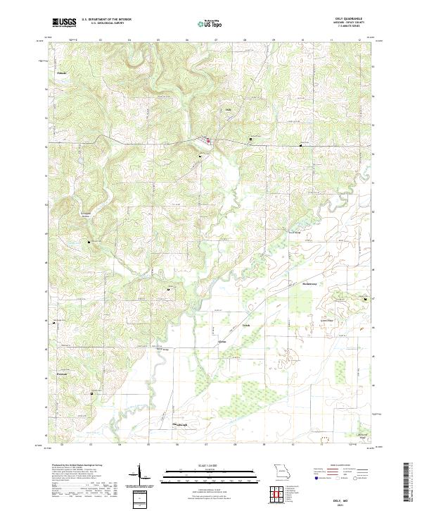 2021 Oxly2021 Print · USGSMissouri's Ripley County countryside is captured here as it appeared in recent years, centered on the Little Black River and the rural community of Oxly. Genealogists can trace family roots through numerous local sites like Antioch Cem, Stone Cem, and the crossing at Sewell Bridge.
 - 2021 Map of Doniphan South, 2021 Print
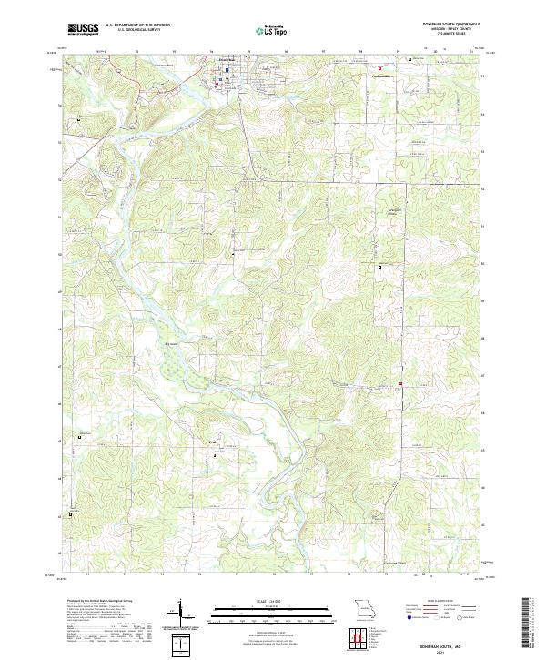 2021 Doniphan South2021 Print · USGSRipley County south of Doniphan is documented here in the early twenty-first century as the Current River winds toward the Arkansas border. Researchers can locate numerous family burial grounds including Mizell Cem and Pope Chapel Cem alongside the river's Big Island.
 - 2021 Map of Hogan Hollow, 2021 Print
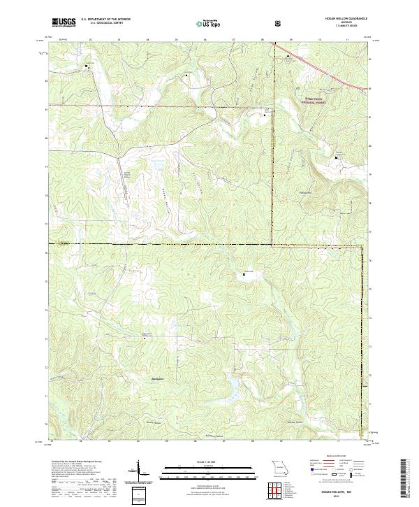 2021 Hogan Hollow2021 Print · USGSRipley and Carter counties are shown here in the 2020s, dominated by the dense canopy of the Mark Twain National Forest. Local historians can trace family roots at the Beaver Dam Catholic Cemetery, Collins Cemetery, and the old settlement of Budapest.
 - 2021 Map of Billmore, 2021 Print
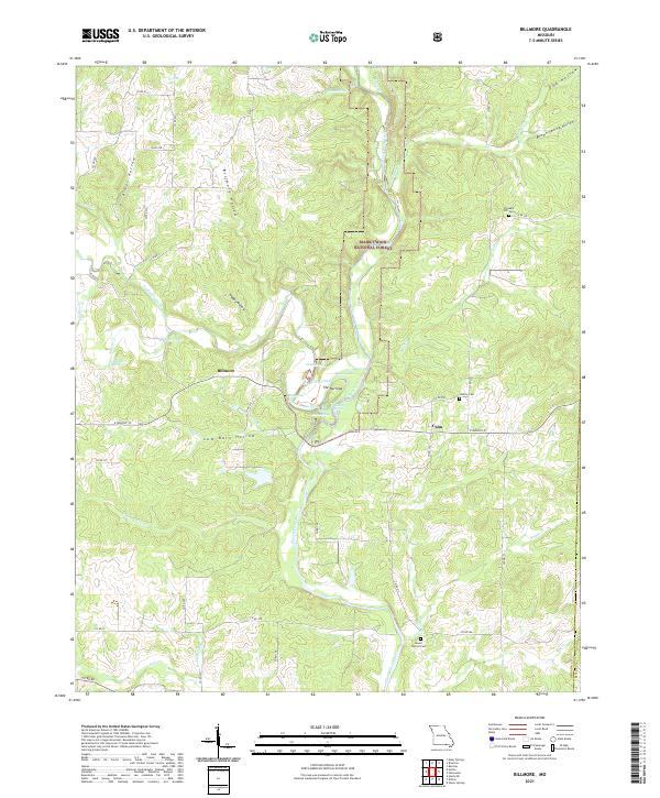 2021 Billmore2021 Print · USGSOregon County, Missouri, is shown here as a dense network of Ozark springs and hollows within the Mark Twain National Forest. Researchers can locate old community centers like Billmore and Calm alongside local landmarks such as The Narrows and Liberty Cem.
 - 2021 Map of Grandin SW, 2021 Print
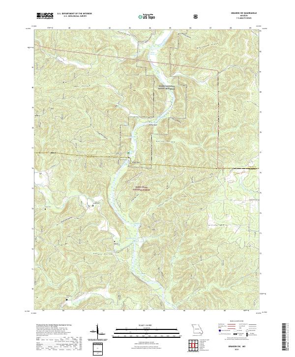 2021 Grandin SW2021 Print · USGSRipley and Carter Counties come alive in this modern survey of the Ozark river country. Researchers can trace family history at Hannas Graveyard or explore the river-carved terrain around Kelley Bluff and the Bay Nothing Recreation Area.
 - 2021 Map of Briar, 2021 Print
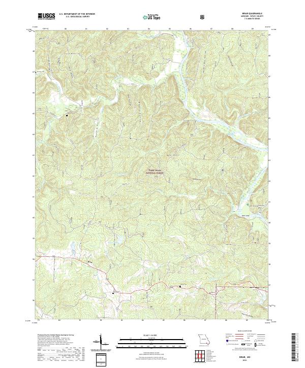 2021 Briar2021 Print · USGSRipley County is shown here in the 2020s, dominated by the heavily wooded ridges of the Mark Twain National Forest. Local researchers can trace family sites at Bennett Cem and Rosson Cem or follow the Current River to landmarks like Hargus Eddy.
 - 2021 Map of Poynor, 2021 Print
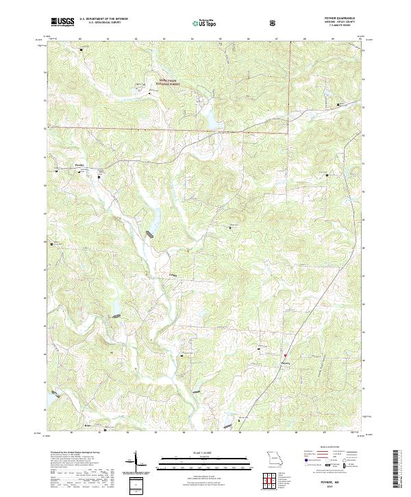 2021 Poynor2021 Print · USGSRipley County, Missouri, is characterized here by its forest-and-creek landscape during the early twenty-first century. Researchers can locate numerous local burial sites including Ponder Catholic Cem, Mount Olive Cem, and the Patterson Cem near Poynor.
 - 2021 Map of Flatwoods, 2021 Print
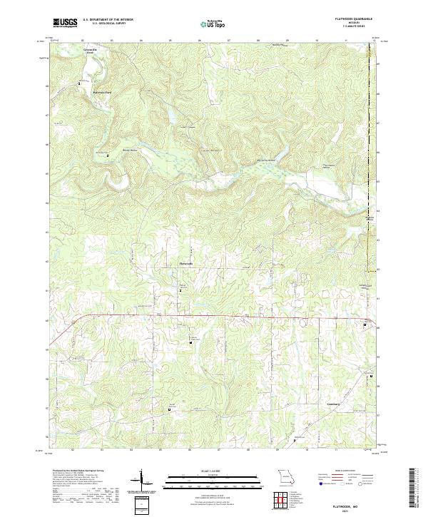 2021 Flatwoods2021 Print · USGSSoutheast Missouri's rural landscape comes into focus during this contemporary survey of the hills and hollows along the Little Black River. Genealogists can locate family landmarks like Spring Hill Cem and Woolard Cem or trace old river crossings at Greenville Ford.
 - 2021 Map of Fairdealing, 2021 Print
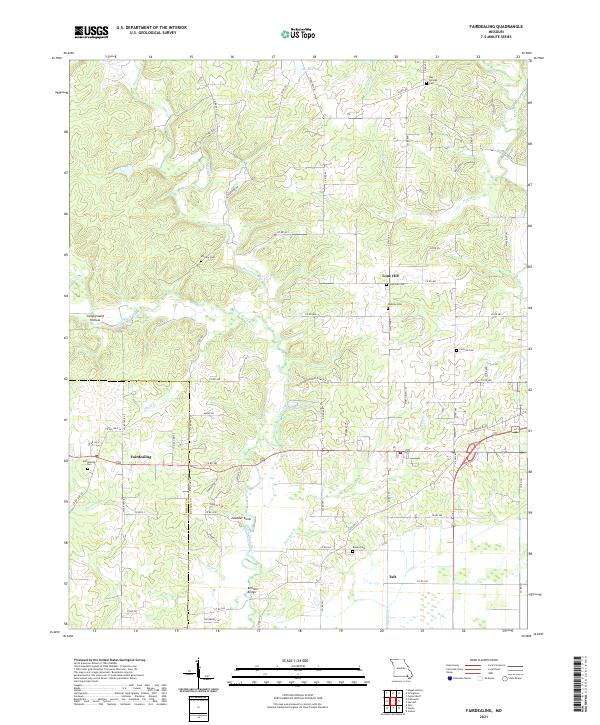 2021 Fairdealing2021 Print · USGSFairdealing and the Missouri Ozarks borderlands are captured here in the early twenty-first century. Researchers can trace family roots through numerous remote burial sites like Military Cem, Bay Springs Cem, and the landmarks around Fairdealing.
 - 2021 Map of Grandin, 2021 Print
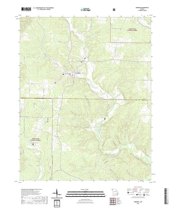 2021 Grandin2021 Print · USGSThe timber town of Grandin and the surrounding Ozark woodlands are shown in great detail during the early 2020s. Researchers can trace rural lineages through family burial sites like McRone Cem or explore landmarks like Devil's Backbone.
 - 2021 Map of Handy, 2021 Print
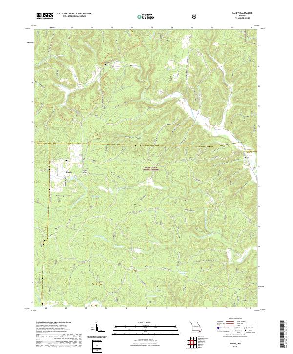 2021 Handy2021 Print · USGSThe Ozark highlands at the meeting of Ripley, Carter, and Oregon Counties are mapped here in the modern era. Researchers can trace local heritage through Handy Cem and Bristol Cem or explore landmarks like Cupola Pond and Devils Horn.
 - 2021 Map of Gatewood, 2021 Print
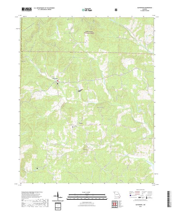 2021 Gatewood2021 Print · USGSRipley County, Missouri, is captured in the early 2020s as a landscape of Ozark forests and remote settlements. Researchers can trace family history at the Gatewood Cem and New Home Cem or follow the waters of the Middle Fork Fourche Cr.
 - 2021 Map of Naylor, 2021 Print
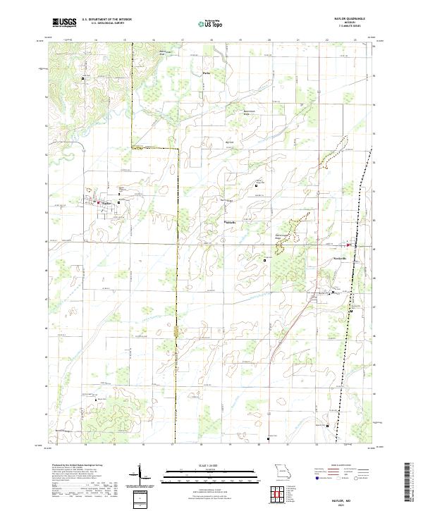 2021 Naylor2021 Print · USGSThe Missouri lowlands near the Arkansas border are captured here in the modern era, showing a landscape defined by drainage and local heritage. Researchers can locate numerous family burial sites like Crab Cem and Eaton Cem along with the prominent Rattlesnake Knob.
 - 2021 Map of Bardley, 2021 Print
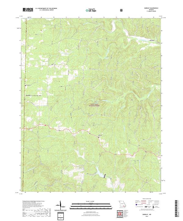 2021 Bardley2021 Print · USGSRipley and Oregon County in the early 2020s remain deeply tied to the land, defined by the winding waters of the Buffalo and Fourche Creeks. Genealogists can locate several family-named landmarks and rural burial grounds like Briar Oak Ridge Cem and Bennett Cem.
 - 2021 Map of Doniphan North, 2021 Print
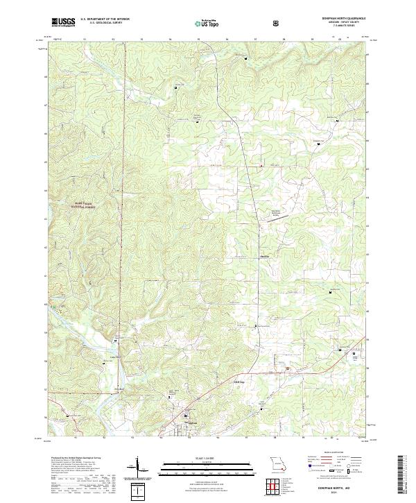 2021 Doniphan North2021 Print · USGSDoniphan and the surrounding Ripley County hills are shown here in the early twenty-first century, centered on the Current River valley. Genealogists can locate numerous local burial sites including Elizabeth Cem, Worley Cem, and Bradley Cem.
 - 2024 Map of Corning, 2024 Print
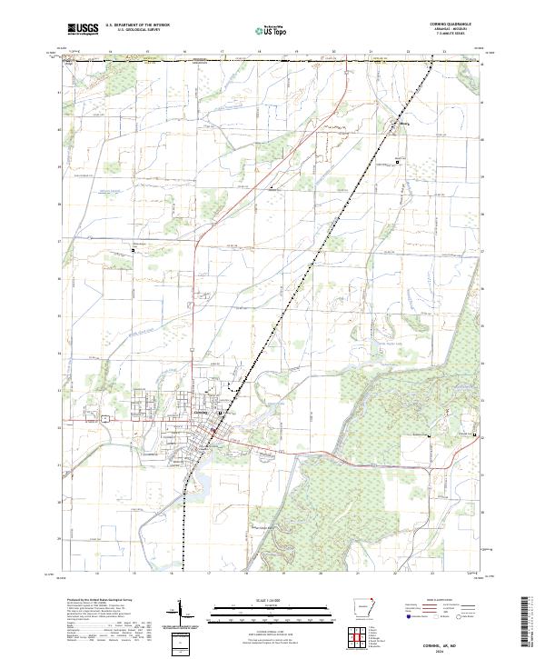 2024 Corning2024 Print · USGSCorning and the surrounding Arkansas Delta are shown in detail as they appeared in 2024, centered on the vital rail and river networks of Clay County. Researchers can locate the Clay County Courthouse Western District and trace lineages at Corning Cem, Moark Cem, or Allmandinger Cem.
 - 2024 Map of Maynard, 2024 Print
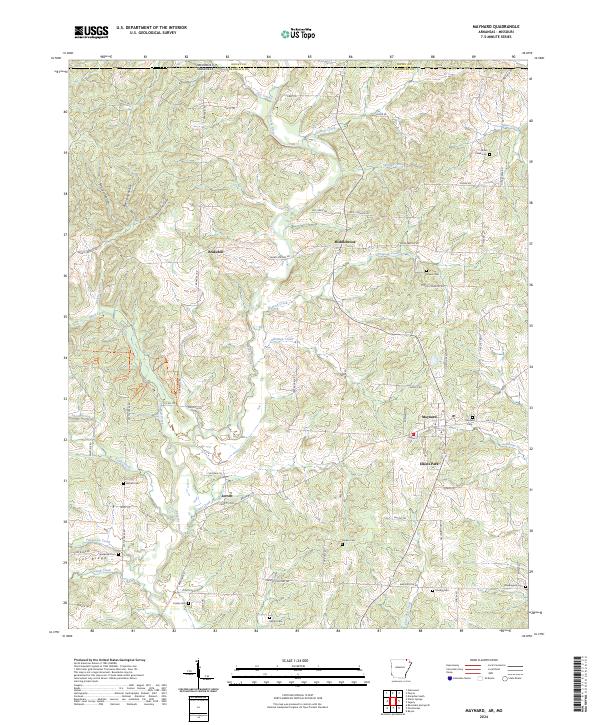 2024 Maynard2024 Print · USGSRandolph County, Arkansas, is documented here in a landscape defined by the Fourche River and its rural uplands. You can trace family history through a high density of local burial sites like Siloam Cem, Maynard Cem, and the old settlement at Middlebrook.
 - 2024 Map of Dalton, 2024 Print
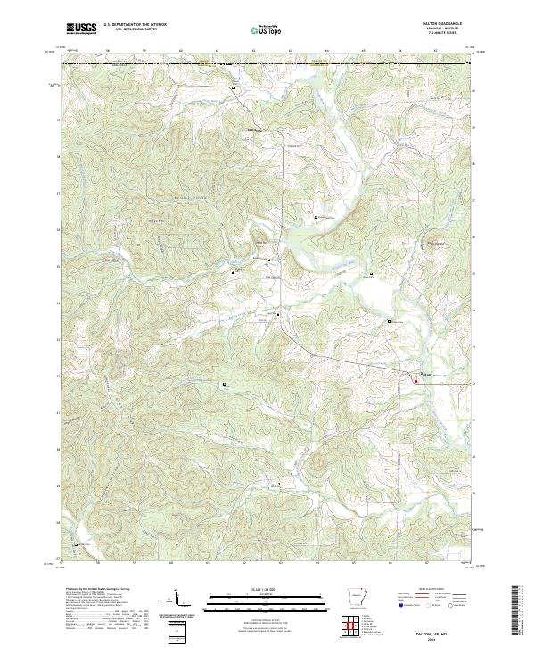 2024 Dalton2024 Print · USGSRandolph County at the Missouri border is a landscape of river valleys and ridge-top cemeteries in the 2020s. Genealogists can trace family heritage through local landmarks like Stubblefield Cem, Elm Store, and the banks of the Eleven Point River.
 - 2024 Map of Datto, 2024 Print
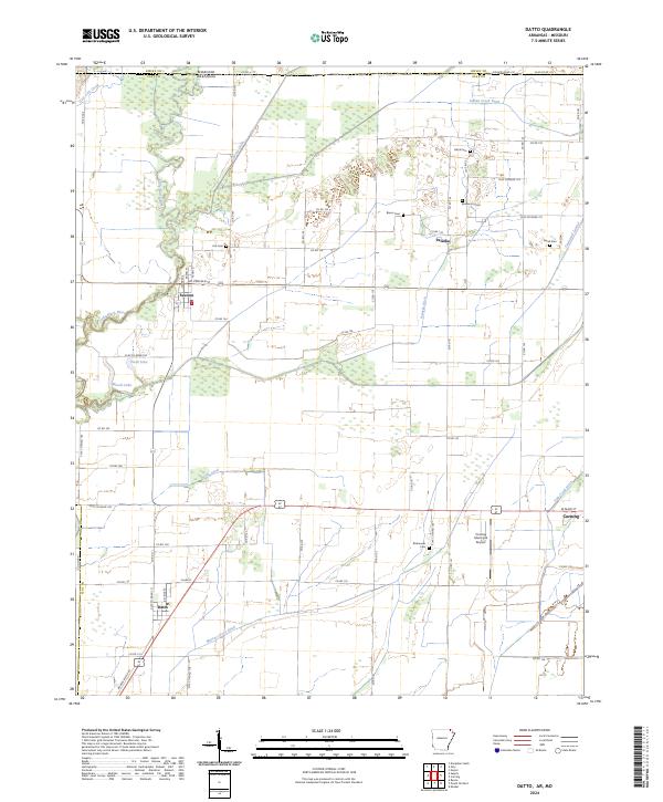 2024 Datto2024 Print · USGSClay County at the Arkansas-Missouri line reveals a landscape defined by its managed waterways and small agricultural hubs. Researchers can trace rural lineages through the locations of Hitt Cem, Black Cem, and Green Cem near the settlements of Success and Palatka.
Showing maps 1-25 of 27
Top cities of Ripley County
Frequently asked questions
- What are the different types of historical maps available for Ripley County?
- What is the oldest map of Ripley County?
- Where can I purchase historical maps of Ripley County for my home or office?
- Where can I download high-res historical maps of Ripley County?
- Are there historical topographic maps available for Ripley County?
- Is there historical aerial imagery available for Ripley County?
- Where are historical maps of Ripley County sourced from?