2020s Maps of Saint Charles County, Missouri
Explore 29 historic maps of Saint Charles County from the 2020s. These maps offer a rare glimpse into what life looked like during the 2020s — showing old roads, neighborhoods, homes, and landmarks that have changed or disappeared over time.
Whether you're researching your family's past, planning a metal detecting trip, or studying how Saint Charles County's landscape evolved across the 2020s, these high-resolution maps are a powerful tool for exploring the history of this region.
- Focus on a specific era: All maps on this page are from the 2020s, giving you a focused view of this time period.
- See what’s changed: Compare century-old streets, trails, and buildings to today's modern landscape using overlays and satellite layers.
- Research with precision: Use these maps for genealogy, historical research, land use analysis, or educational projects.
- View, download, or print: Maps are fully viewable online in high resolution, and can be downloaded or printed for your own records.
Start exploring Saint Charles County's history through authentic maps from the 2020s. This is your window into the past.
Saint Charles County, MO maps
(29)- 2021 Map of Elsah, 2021 Print
 2021 Elsah2021 Print · USGSThe river bluffs of Jersey and Madison County meet the Missouri bottomlands in this contemporary survey of the great river confluence. Researchers can locate family sites at Saint Michaels Cem or trace the early riverfront layouts of Elsah and Portage Des Sioux.
 - 2021 Map of Brussels, 2021 Print
 2021 Brussels2021 Print · USGSSituated at the convergence of two major rivers in the 2020s, this peninsula in Calhoun County reveals a dense network of ridge-top settlements and riverside landings. Researchers can trace family sites at Saint Josephs Cem, locate the Lone Tree Indian Mound, or explore the terrain of Golden Eagle and Brussels.
 - 2021 Map of Grafton, 2021 Print
 2021 Grafton2021 Print · USGSThe confluence of the Illinois and Mississippi rivers comes into sharp focus in this recent study of Jersey and St. Charles counties. Genealogists and researchers can trace the riverfront streets of Grafton and Chautauqua or locate family sites near Scenic Hill Cem and Orchard Farm.
 - 2021 Map of Alton, 2021 Print
 2021 Alton2021 Print · USGSThe riverfront and industrial bluffs of Madison County are captured in this recent survey of the Mississippi River bend. Genealogists and historians can locate numerous burial sites such as the Confederate Cem, Oakwood Cem, and Saint Patrick Cem.
 - 2021 Map of Wood River, 2021 Print
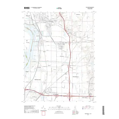 2021 Wood River2021 Print · USGSThe industrial heart of the Mississippi floodplain is captured here in the early twenty-first century. Genealogists and local historians can trace family roots through numerous burial sites like Nix Judy Pioneer Cem and Saint Paul Church Cem or study the rail and water networks of Wood River and Hartford.
 - 2021 Map of Creve Coeur, 2021 Print
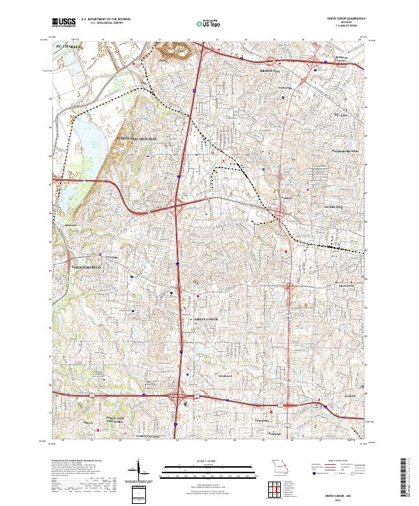 2021 Creve Coeur2021 Print · USGSSt. Louis County is shown in high detail during its modern era of suburban density and institutional growth. Genealogists and local historians can trace burial sites at Fee Fee Cem and Bridgeton Cem, or locate landmarks like Creve Coeur Lake.
 - 2021 Map of Troy, 2021 Print
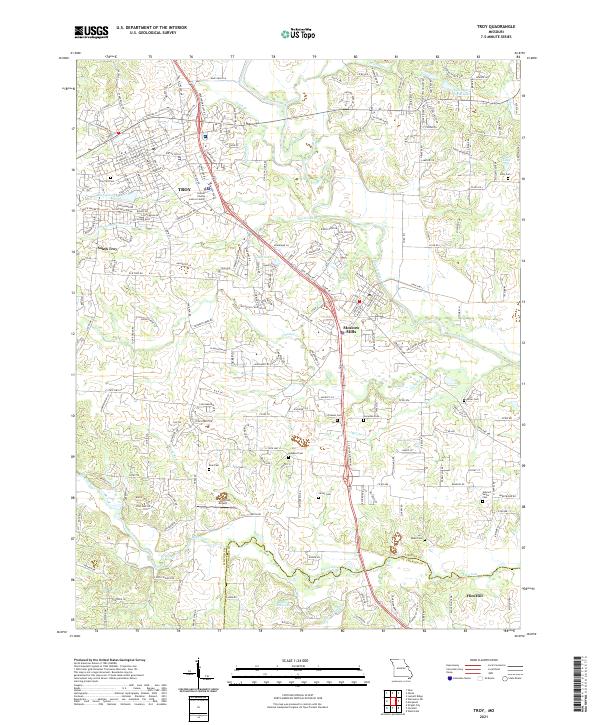 2021 Troy2021 Print · USGSLincoln County enters the twenty-first century as a growing landscape of riverfront communities and historic family lands. Genealogists can locate several remote burial sites including Frieden Cem and Ross Cem, or trace the residential sprawl near Moscow Mills.
 - 2021 Map of Kampville, 2021 Print
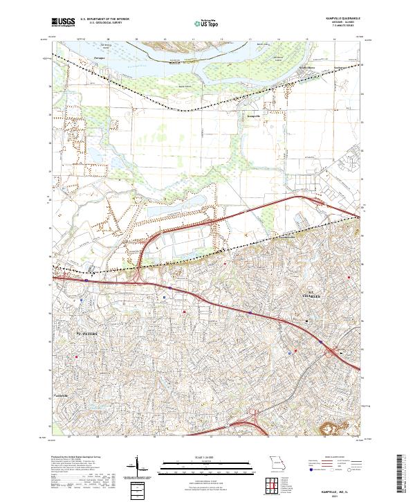 2021 Kampville2021 Print · USGSSt. Charles and St. Peters are shown in a period of significant growth at the beginning of the 2020s. Genealogists and local historians can trace the development of Gardnerville and Cottleville, or locate historic sites like Lindenwood University and Oak Grove Cem.
 - 2021 Map of Wentzville, 2021 Print
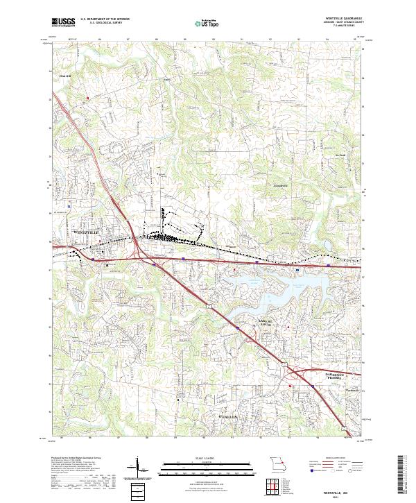 2021 Wentzville2021 Print · USGSSt. Charles County is shown at a peak of modern growth, where heavy highway infrastructure meets established rural townships. Genealogists and local historians can trace the foundations of Wentzville and Lake St. Louis alongside sites like Linn Cem and Saint Patrick Church.
 - 2021 Map of O'Fallon, 2021 Print
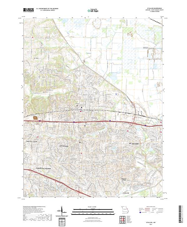 2021 O'Fallon2021 Print · USGSSt. Charles County undergoes rapid suburban transformation in the early twenty-first century as these communities expand between the creek valleys. Researchers can locate local landmarks like Waldmeister Farm Airport and several historic sites including Sage Chapel Cem.
 - 2021 Map of Maryknoll, 2021 Print
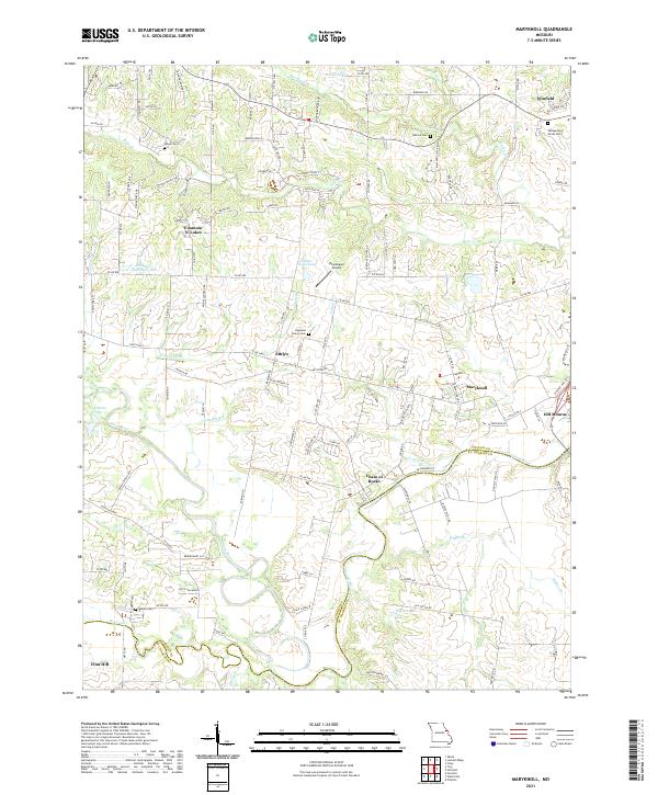 2021 Maryknoll2021 Print · USGSLincoln and St. Charles counties meet along the Cuivre River in this recent survey of eastern Missouri. Family historians and researchers can locate several rural burial grounds such as Rybolt Cem and trace the proximity of Old Monroe to the river at Chain of Rocks.
 - 2021 Map of New Melle, 2021 Print
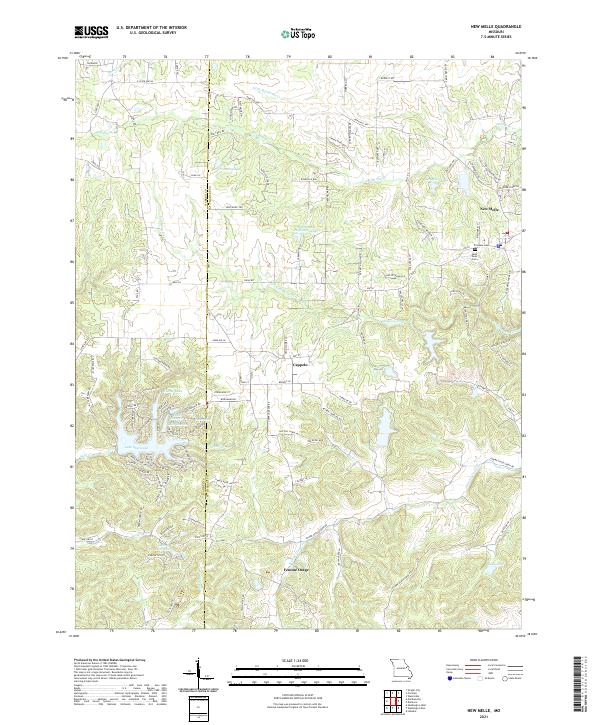 2021 New Melle2021 Print · USGSThe rural border of St. Charles and Warren counties is captured here in the early twenty-first century, showing a landscape of small settlements and reservoir systems. Researchers can trace local history at Friedens Cem or follow the waters of Femme Osage Creek through Cappeln and Femme Osage.
 - 2021 Map of Defiance, 2021 Print
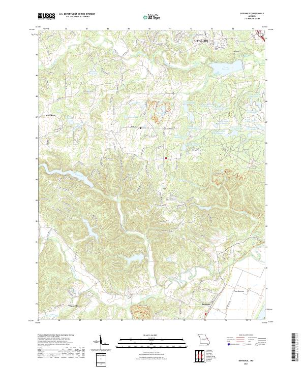 2021 Defiance2021 Print · USGSDefiance and the Missouri River bottoms appear in the early twenty-first century as a mix of conservation lands and growing rural settlements. Researchers can trace historic cemeteries like Dardenne Cem and family-named landmarks such as Clyde Mosley Lake and Schluersburg.
 - 2021 Map of Winfield, 2021 Print
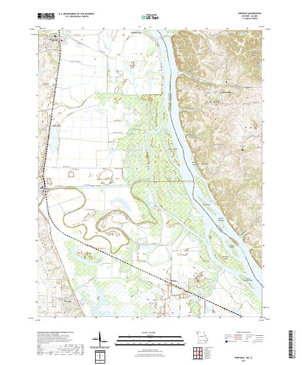 2021 Winfield2021 Print · USGSThe Mississippi River corridor between Missouri and Illinois is captured in this 2021 topographic record, showing the river’s influence on the local settlements and landscape. Genealogists can locate family-named sites like Minesinger Cem and trace old river routes near the Winfield Ferry.
 - 2021 Map of Saint Charles, 2021 Print
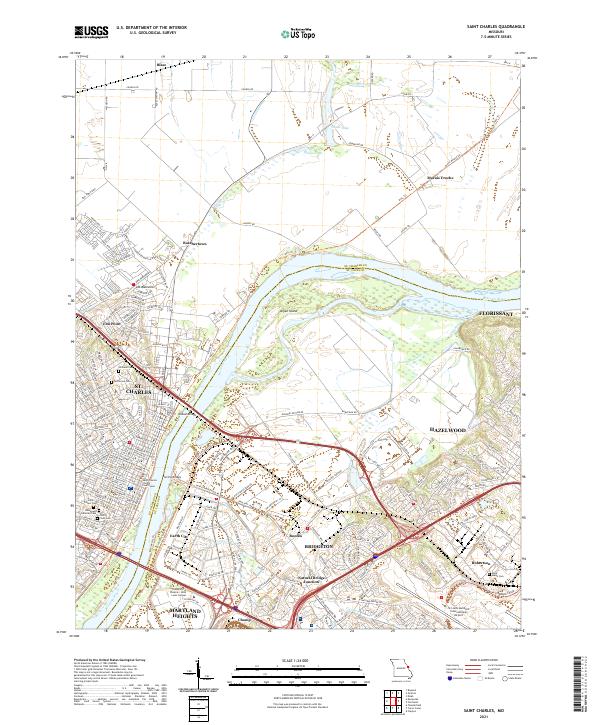 2021 Saint Charles2021 Print · USGSSt. Charles and the Missouri River valley are seen here in recent years as the urban sprawl of St. Louis meets the river bottomlands. Family historians can locate several historic burial grounds like Borromeo Cem and Saint Peters Cem, or trace the old rail corridor of the Katy Trl.
 - 2021 Map of Florissant, 2021 Print
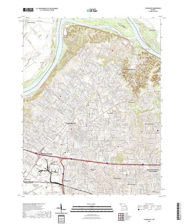 2021 Florissant2021 Print · USGSNorth St. Louis County and the Missouri River valley are captured in detail during this era of suburban density and river-bottom agriculture. Researchers can trace family sites at Cold Water Cem or explore the shifting banks near Musicks Ferry and Pelican Island.
 - 2021 Map of Eureka, 2021 Print
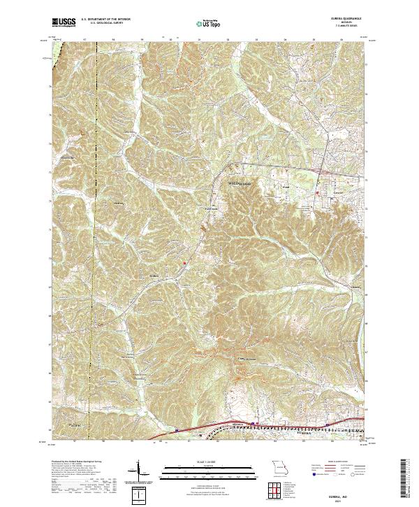 2021 Eureka2021 Print · USGSThe suburbs and wooded ridges west of St. Louis are shown here in the modern era as they balance residential growth with local heritage. Researchers can trace the BNSF Railway corridor through Eureka or locate family sites near Allen Cem and Glencoe.
 - 2021 Map of Foristell, 2021 Print
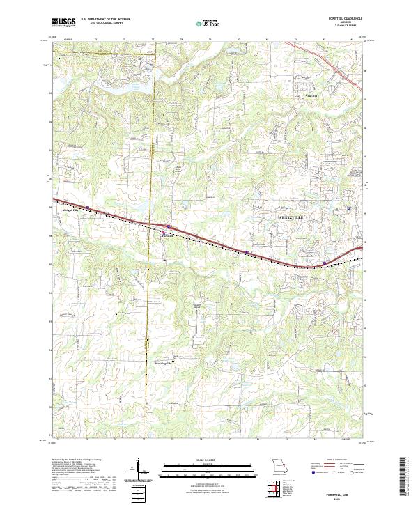 2021 Foristell2021 Print · USGSSettlement growth and rural landscapes meet in the 2020s near the St. Charles and Warren County line. Researchers can trace family history at Oak Grove Cemetery or locate landmarks like Incline Village Lake and Flint Hill.
 - 2021 Map of Washington East, 2021 Print
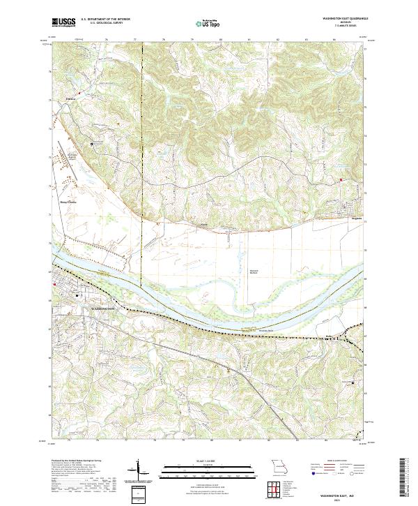 2021 Washington East2021 Print · USGSThe Missouri River valley near Augusta and Washington is captured here in the early twenty-first century. Genealogists and local historians can trace family-named sites like Saint Vincent de Paul Cem, the old settlement at Nona, and the riverside path of the Katy Trl.
 - 2021 Map of Chesterfield, 2021 Print
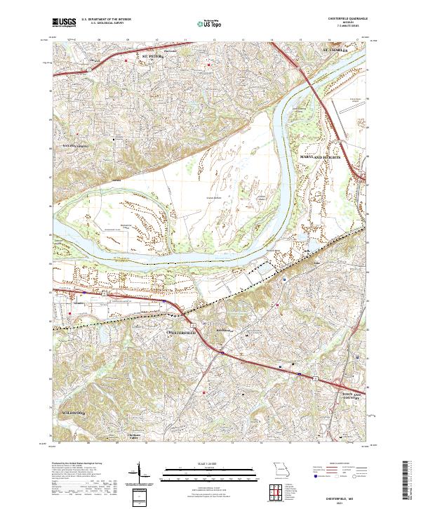 2021 Chesterfield2021 Print · USGSChesterfield and the Missouri River corridor are shown here in the early twenty-first century as suburban growth meets the river's floodplain. Genealogists can trace family landmarks like the Stuart Family Cem and Everwine Cem, or locate regional institutions like Logan University and the Creve Coeur Airport.
 - 2021 Map of Weldon Spring, 2021 Print
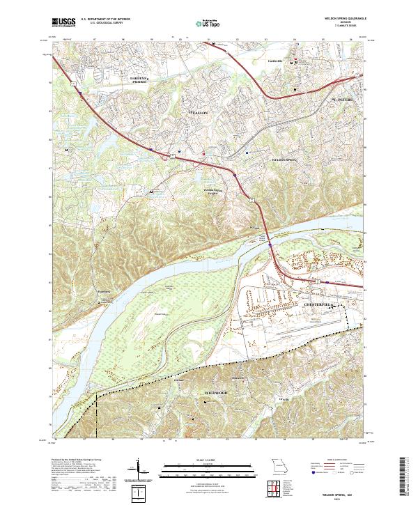 2021 Weldon Spring2021 Print · USGSGreater St. Louis was undergoing significant suburban growth and infrastructure modernization in the early 2020s. Researchers can locate numerous family burial sites such as Francis Howell Cem and trace the Missouri River shoreline past Howell Island.
 - 2021 Map of Labadie, 2021 Print
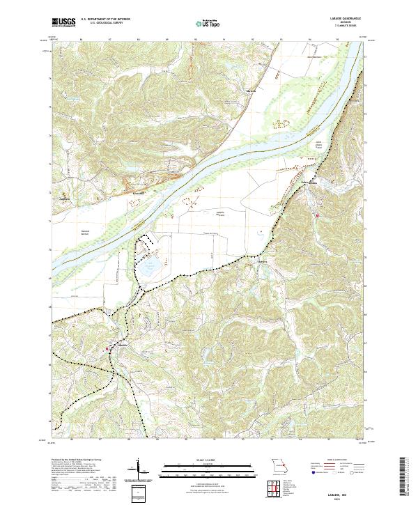 2021 Labadie2021 Print · USGSThe Missouri River valley in the early 2020s shows a unique transition from industrial sites to quiet riverside communities. Trace the topography of the river bluffs near Labadie, explore the trails around Klondike, or locate family-named features like Matson and Saint Albans.
 - 2021 Map of Columbia Bottom, 2021 Print
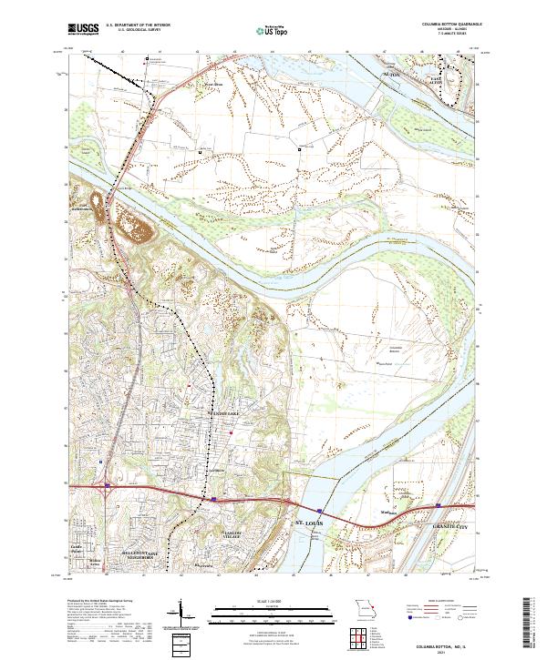 2021 Columbia Bottom2021 Print · USGSThe St. Louis riverfront meets the Missouri-Mississippi confluence in this modern topographic study. Genealogists can locate family sites at Bailey Cem and Espedeza Cem, or trace the old routes of Madison Ferry Rd and the Chain of Rocks Bridge.
 - 2023 Map of Grafton, 2023 Print
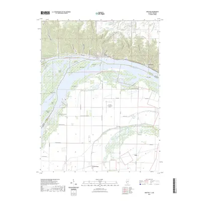 2023 Grafton2023 Print · USGSThe confluence of the Illinois and Mississippi Rivers is captured in this modern survey, showing the historic river town of Grafton and the surrounding wetlands. Researchers can trace the river's path through Mason Island, locate Scenic Hill Cemetery, and identify the Grafton Ferry crossing.
 - 2024 Map of Grafton, 2024 Print
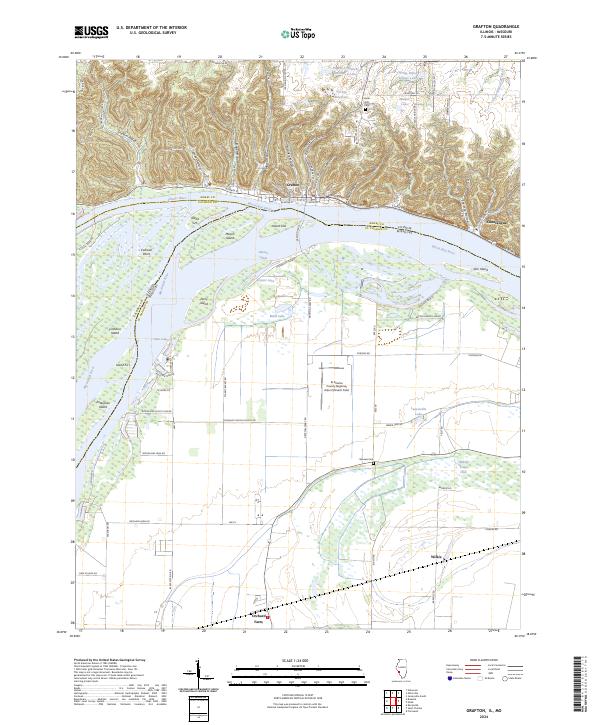 2024 Grafton2024 Print · USGSThe Illinois and Mississippi rivers meet in this contemporary survey of the riverfront bluffs and lowlands. Trace the local geography from the hollows of Grafton to settlements like Chautauqua and family-named sites such as Barweis Cem and Mason Island.
Showing maps 1-25 of 29
Top cities of Saint Charles County
- O'Fallon historical maps
- Saint Charles historical maps
- Saint Peters historical maps
- Wentzville historical maps
- Harvester historical maps
- Dardenne Prairie historical maps
See more
Frequently asked questions
- What are the different types of historical maps available for Saint Charles County?
- What is the oldest map of Saint Charles County?
- Where can I purchase historical maps of Saint Charles County for my home or office?
- Where can I download high-res historical maps of Saint Charles County?
- Are there historical topographic maps available for Saint Charles County?
- Is there historical aerial imagery available for Saint Charles County?
- Where are historical maps of Saint Charles County sourced from?