2000s (21st Century) Maps of Saint Charles County, Missouri
Explore 101 historic maps of Saint Charles County from the 2000s (21st Century). These maps offer a rare glimpse into what life looked like during the 2000s — showing old roads, neighborhoods, homes, and landmarks that have changed or disappeared over time.
Whether you're researching your family's past, planning a metal detecting trip, or studying how Saint Charles County's landscape evolved across the 2000s, these high-resolution maps are a powerful tool for exploring the history of this region.
- Focus on a specific era: All maps on this page are from the 2000s, giving you a focused view of this time period.
- See what’s changed: Compare century-old streets, trails, and buildings to today's modern landscape using overlays and satellite layers.
- Research with precision: Use these maps for genealogy, historical research, land use analysis, or educational projects.
- View, download, or print: Maps are fully viewable online in high resolution, and can be downloaded or printed for your own records.
Start exploring Saint Charles County's history through authentic maps from the 2000s. This is your window into the past.
Saint Charles County, MO maps
(101)- 2000 Map of Defiance, 2003 Print
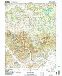 2000 Defiance2003 Print · USGSSouthern St. Charles County at the turn of the millennium shows a landscape defined by the Missouri River floodplain and significant state conservation lands. Genealogists and local historians can locate Journey Cem, the village of Schluersburg, and the rural road network including Matson Hill Road.
 - 2000 Map of Wentzville, 2003 Print
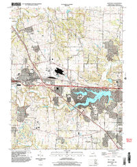 2000 Wentzville2003 Print · USGSWentzville and St. Charles County were undergoing a period of intense suburban development at the turn of the century. Genealogists and local historians can trace the evolution of old settlements like Flint Hill and Josephville alongside the growth of Lake Saint Louis.
 - 2002 Map of O'Fallon, 2003 Print
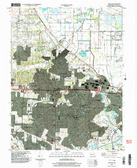 2002 O'Fallon2003 Print · USGSSt. Charles County was undergoing rapid suburban transformation at the turn of the millennium. Researchers can trace the expansion of O'Fallon and St. Peters while locating historic sites like St. Paul Church and Waldmeister Landing Strip.
 - 2012 Map of Eureka, 2012 Print
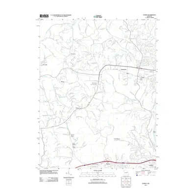 2012 Eureka2012 Print · USGSWildwood and its surrounding Missouri hamlets are shown in the early twenty-first century just as suburban development reached these historic hills. Researchers can trace ancestral locations from Allen Cemetery to old post offices at Grover and Hollow.
 - 2012 Map of Maryknoll, 2012 Print
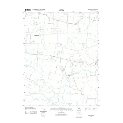 2012 Maryknoll2012 Print · USGSEastern Lincoln County is shown here in the early twenty-first century as its rural settlements and riverfront communities continue to evolve. Researchers can locate family landmarks like Rybolt Cemetery, trace the Cuivre River bank, or find the Chantilla Post Office.
 - 2012 Map of Wentzville, 2012 Print
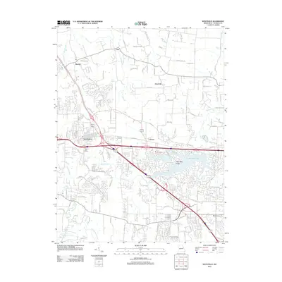 2012 Wentzville2012 Print · USGSWentzville and western St. Charles County are shown during a period of significant suburban growth in the early twenty-first century. Genealogists and local historians can locate Linn Cemetery and trace the development around Lake Saint Louis, Flint Hill, and Josephville.
 - 2012 Map of New Melle, 2012 Print
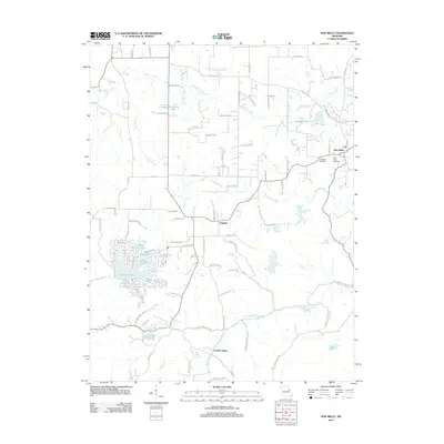 2012 New Melle2012 Print · USGSSaint Charles County's rolling landscape and private lake communities come into focus in this early twenty-first-century survey. Researchers can trace local lineage at Friedens Cemetery or explore the development of Lake Sherwood and the rural crossroads of Cappeln.
 - 2012 Map of Defiance, 2012 Print
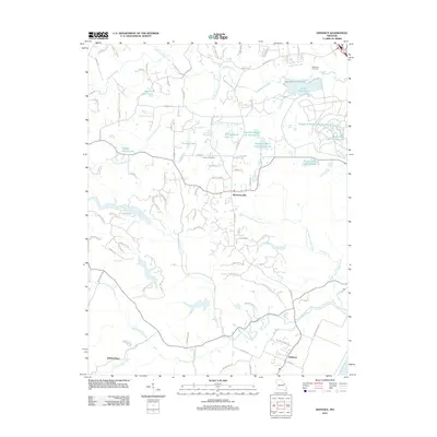 2012 Defiance2012 Print · USGSThe Missouri River bluffs and Saint Charles County hills are captured here in the early twenty-first century. Researchers can trace local lineage through rural burial sites like Dardenne Cemetery and the settlements of Defiance and Mechanicsville.
 - 2012 Map of Weldon Spring, 2012 Print
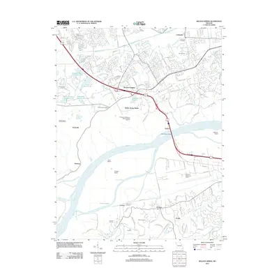 2012 Weldon Spring2012 Print · USGSSaint Charles County's suburban expansion meets its deep industrial and riverfront roots in this recent survey. Researchers can trace family history through sites like Cottleville Cemetery or explore the geography of Howell Island and the Weldon Spring Ordnance Works.
 - 2012 Map of Florissant, 2012 Print
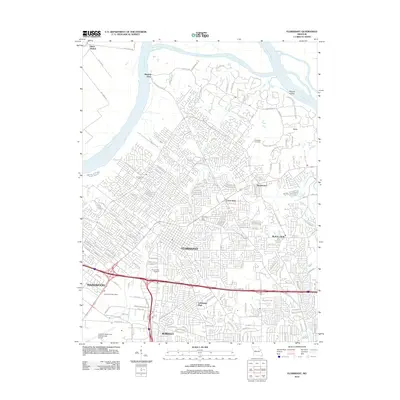 2012 Florissant2012 Print · USGSFlorissant and north St. Louis County are captured here in the early twenty-first century as the suburban landscape reaches the Missouri River. Genealogists and local historians can locate Coldwater Cemetery, trace the old roads of Black Jack, and see the footprint of Lambert-Saint Louis International Airport.
 - 2012 Map of Troy, 2012 Print
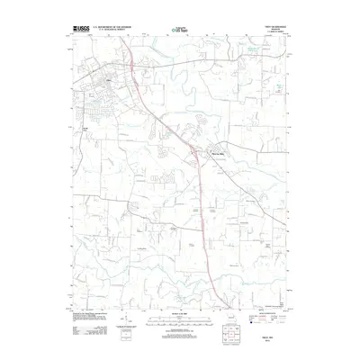 2012 Troy2012 Print · USGSTroy and the surrounding Lincoln County countryside appear here in the early twenty-first century as suburban growth meets a historic rural landscape. Researchers can locate numerous family burial grounds like Frieden Cemetery and Wade Cemetery along the banks of the Cuivre River.
 - 2012 Map of Foristell, 2012 Print
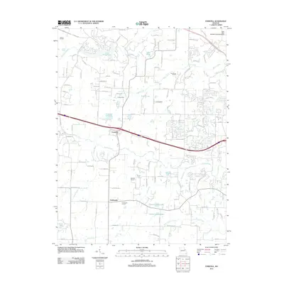 2012 Foristell2012 Print · USGSForistell and Pauldingville are shown during a period of transition in the early 2010s as suburban reach extends into the countryside. Researchers can pinpoint Metcalf Cemetery, trace the path of Peruque Creek, and locate the Mid America Raceway.
 - 2012 Map of Chesterfield, 2012 Print
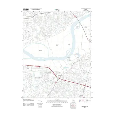 2012 Chesterfield2012 Print · USGSChesterfield and the Missouri River bottoms are captured here in the early twenty-first century as suburban growth meets the river's edge. Researchers can trace local heritage at Conway Cemetery or explore established centers like Gumbo and Bellefontaine.
 - 2012 Map of Saint Charles, 2012 Print
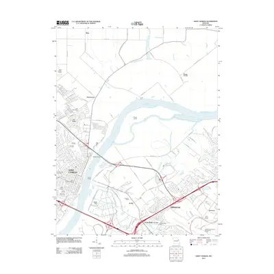 2012 Saint Charles2012 Print · USGSSaint Charles and Bridgeton flank the Missouri River in this early twenty-first-century survey of a bustling riverfront corridor. Genealogists can locate several burial sites including Emmaus Cemetery and Saint Marys Cemetery near Lindenwood University.
 - 2012 Map of Creve Coeur, 2012 Print
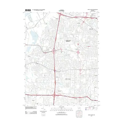 2012 Creve Coeur2012 Print · USGSThe suburban landscape west of St. Louis is captured here during a period of dense residential and commercial maturity. Researchers can trace local heritage through sites like Fee Fee Cemetery, the old rail-aligned settlement of Vigus, and the expanses of Creve Coeur Lake.
 - 2012 Map of Labadie, 2012 Print
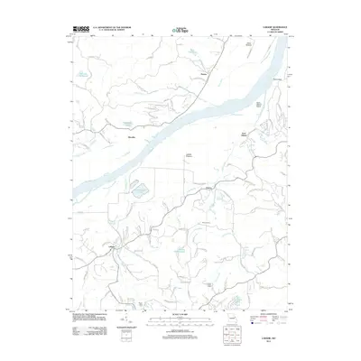 2012 Labadie2012 Print · USGSThe Missouri River valley near the Franklin and St. Charles county line comes to life in this 2012 survey. Historians can trace the rural character of Labadie and Saint Albans or locate the Becker School and the Purina Mills Farm.
 - 2012 Map of Washington East, 2012 Print
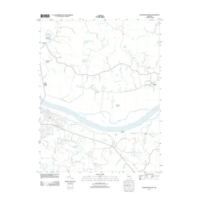 2012 Washington East2012 Print · USGSThe Missouri River bottoms and St. Charles County hills come into focus in this early twenty-first-century survey. Genealogists and local historians can trace family-named sites and landmarks like Saint Peters Cemetery, Ming School, and the Augusta Post Office.
 - 2012 Map of Columbia Bottom, 2012 Print
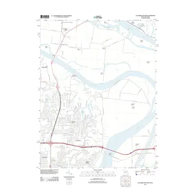 2012 Columbia Bottom2012 Print · USGSThe confluence of the Mississippi and Missouri Rivers comes alive in this 2012 record of the islands and communities north of St. Louis. Genealogists and local historians can trace the grounds of Bailey Cemetery, visit the historic site of Fort Bellefontaine, or locate the West Alton Post Office.
 - 2012 Map of O'Fallon, 2012 Print
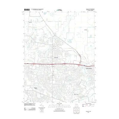 2012 O'Fallon2012 Print · USGSSaint Charles County's suburban expansion is in full view here during the early twenty-first century. Genealogists and local historians can locate Assumption Cemetery and Mount Zion Cemetery or trace the winding course of Peruque Creek near Saint Paul.
 - 2012 Map of Kampville, 2012 Print
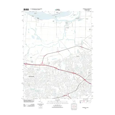 2012 Kampville2012 Print · USGSGreater St. Charles was undergoing significant suburban and industrial growth when this survey was conducted. Researchers can trace the layout of Saint Peters, locate the Methodist Cemetery, and find historic river landings like McCann and Dixon Landing.
 - 2012 Map of Winfield, 2012 Print
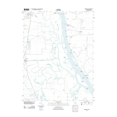 2012 Winfield2012 Print · USGSThe Missouri-Illinois borderlands come into focus in the early twenty-first century, documenting a riverine landscape of shifting islands and historic ferry crossings. Genealogists and historians can trace family locations near Old Monroe, the West Point Ferry, and the Old Monroe Mounds.
 - 2012 Map of Alton, 2012 Print
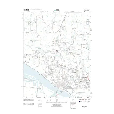 2012 Alton2012 Print · USGSAlton and its river bluffs are documented here during the early twenty-first century, showing the urban expansion of Madison County. Genealogists can locate several major burial sites, including the Confederate Cem, Alton National Cem, and Greenwood Cem.
 - 2012 Map of Elsah, 2012 Print
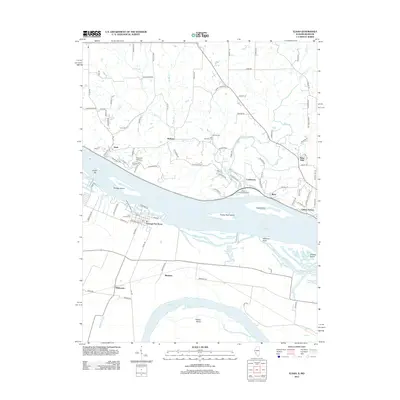 2012 Elsah2012 Print · USGSThe river valley at the Missouri-Illinois border is documented here in the early twenty-first century, showing the confluence of two major waterways. Genealogists and historians can trace local roots at Elsah Cemetery or locate the historic center of Portage Des Sioux.
 - 2012 Map of Wood River, 2012 Print
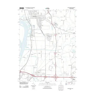 2012 Wood River2012 Print · USGSThe industrial corridor and family farmsteads of Madison County are captured here in the early twenty-first century. Genealogists and local researchers can trace numerous family burial sites like Vaughn Hill Cem and Smith Family Cem near the growth of Wood River and Roxana.
 - 2012 Map of Grafton, 2012 Print
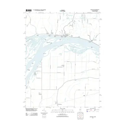 2012 Grafton2012 Print · USGSAlong the Illinois and Mississippi river junction in the early 2010s, this area shows a unique blend of riverfront bluffs and expansive lowlands. Researchers can trace the Deer Plain Ferry crossing and find family sites like Barweis Cem and the Orchard Farm settlement.
Showing maps 1-25 of 101
Top cities of Saint Charles County
- O'Fallon historical maps
- Saint Charles historical maps
- Saint Peters historical maps
- Wentzville historical maps
- Harvester historical maps
- Dardenne Prairie historical maps
See more
Frequently asked questions
- What are the different types of historical maps available for Saint Charles County?
- What is the oldest map of Saint Charles County?
- Where can I purchase historical maps of Saint Charles County for my home or office?
- Where can I download high-res historical maps of Saint Charles County?
- Are there historical topographic maps available for Saint Charles County?
- Is there historical aerial imagery available for Saint Charles County?
- Where are historical maps of Saint Charles County sourced from?