2010s Maps of Webster County, Missouri
Explore 48 historic maps of Webster County from the 2010s. These maps offer a rare glimpse into what life looked like during the 2010s — showing old roads, neighborhoods, homes, and landmarks that have changed or disappeared over time.
Whether you're researching your family's past, planning a metal detecting trip, or studying how Webster County's landscape evolved across the 2010s, these high-resolution maps are a powerful tool for exploring the history of this region.
- Focus on a specific era: All maps on this page are from the 2010s, giving you a focused view of this time period.
- See what’s changed: Compare century-old streets, trails, and buildings to today's modern landscape using overlays and satellite layers.
- Research with precision: Use these maps for genealogy, historical research, land use analysis, or educational projects.
- View, download, or print: Maps are fully viewable online in high resolution, and can be downloaded or printed for your own records.
Start exploring Webster County's history through authentic maps from the 2010s. This is your window into the past.
Webster County, MO maps
(48)- 2011 Map of Strafford, 2011 Print
 2011 Strafford2011 Print · USGSGreene County is shown at a moment of modern growth and rural preservation in the early twenty-first century. Family history researchers can trace local roots at Mullinax Cemetery and Welch Cemetery, while identifying landmarks like Happy Hollow Camp.
 - 2011 Map of Oak Grove Heights, 2011 Print
 2011 Oak Grove Heights2011 Print · USGSEastern Greene County is documented here during a period of modern growth and rural preservation. Genealogists and local historians can locate the All Post Office, the Wilkerson Cemetery, and tracing the path of the James River past Panther Valley.
 - 2011 Map of Rogersville, 2011 Print
 2011 Rogersville2011 Print · USGSThe northern edge of Christian County comes into focus in the early 21st century, centered on the growing communities of Rogersville and Sparta. Researchers can trace dozens of family burial sites including Casebolt Cemetery and Tallman Cemetery, or locate landmarks like Hindman Airport and Ollie Lasley Spring.
 - 2011 Map of Elkland, 2011 Print
 2011 Elkland2011 Print · USGSElkland and its Dallas County neighbors appear here in the early twenty-first century, showing a landscape of Ozark foothills and rural farmsteads. Trace family history at Old Pleasant View Cemetery or locate the headwaters of the Pomme de Terre River near Mutton Hollow.
 - 2011 Map of Beach, 2011 Print
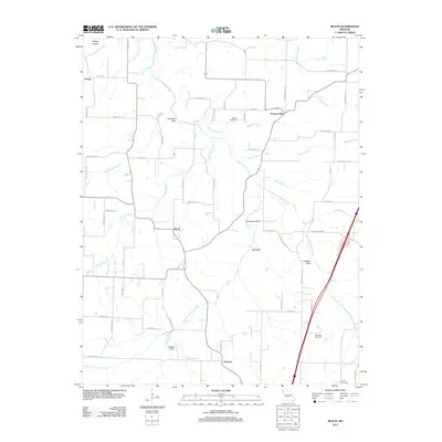 2011 Beach2011 Print · USGSWebster County near the turn of the decade remains a landscape of river bluffs and rural crossroads. Genealogists and local historians can trace family ties at Marlin Cemetery or McElwain Cemetery and locate early settlements like Forkners Hill and Beach.
 - 2011 Map of Rader, 2011 Print
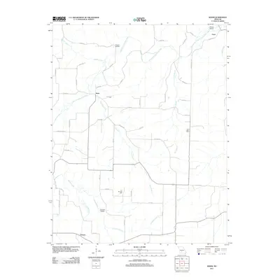 2011 Rader2011 Print · USGSLaclede County at the start of the 2010s is characterized by quiet rural settlements and the winding Osage Fork Gasconde River. Researchers can trace old family locations near Phillips Hollow or explore the geography around Pease, Rader, and Susanna.
 - 2011 Map of Marshfield, 2011 Print
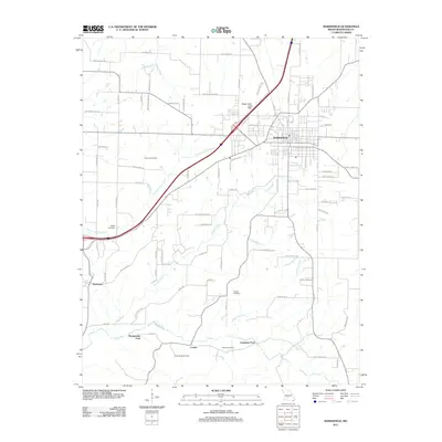 2011 Marshfield2011 Print · USGSMarshfield and its rural surroundings in the early twenty-first century reveal a landscape of creek-side fords and historic family cemeteries. Researchers can locate ancestral sites like Thomas Cemetery and trace old river crossings at Bumgarden Ford and Lindstrew Ford.
 - 2011 Map of Niangua, 2011 Print
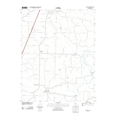 2011 Niangua2011 Print · USGSNiangua and the surrounding Missouri countryside are captured here in the early twenty-first century, showing a landscape of scattered family farms and quiet crossroads. Researchers can trace local genealogy through several historic sites including Tindle Cemetery and the Osage Fork Gasconade River crossings.
 - 2011 Map of Dogwood, 2011 Print
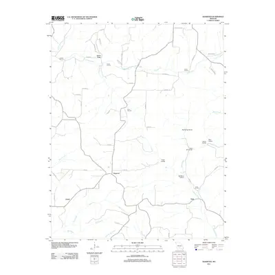 2011 Dogwood2011 Print · USGSThe Missouri Ozarks are captured here in the early twenty-first century, showing a rural landscape of ridges and deep hollows. Genealogists and local historians can trace family ties through several remote burial sites, including Goss Cemetery and Ellison Cemetery.
 - 2011 Map of Mansfield NW, 2011 Print
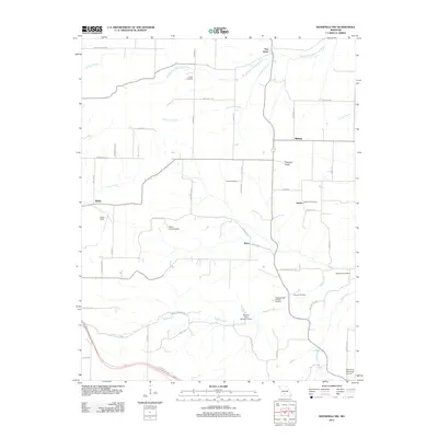 2011 Mansfield NW2011 Print · USGSMissouri's rural Ozark landscape is documented here in the early 2000s, showing a network of small settlements and family cemeteries. Researchers can locate the Antrim Post Office, trace the James River headwaters, and find burial sites like Smith Cemetery and Peters Cemetery.
 - 2011 Map of Seymour, 2011 Print
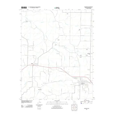 2011 Seymour2011 Print · USGSSeymour and the surrounding Webster County hills are mapped here in the early twenty-first century, showing a landscape shaped by Ozark headwaters and family legacies. Genealogists can locate numerous burial sites, from the Civil War Cemetery to the Bright Prairie Cemetery, and trace the origins of the James River near Diggins.
 - 2011 Map of Cedar Gap, 2011 Print
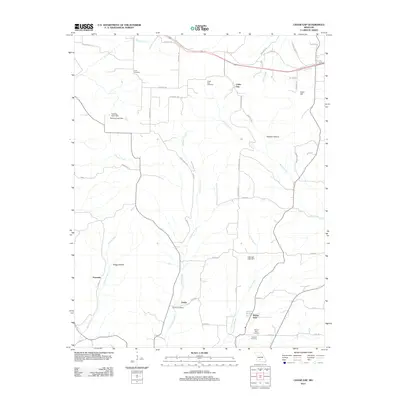 2011 Cedar Gap2011 Print · USGSMissouri's Ozark plateau comes into focus in the early twenty-first century, showing a rural landscape defined by deep hollows and creek headwaters. Researchers can locate numerous historic burial grounds and crossroads communities like Zenda, Granada, and the Huffman Cemetery.
 - 2012 Map of Bruner, 2012 Print
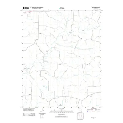 2012 Bruner2012 Print · USGSChristian County's rural landscape is captured here in the early 21st century, revealing a network of small settlements and family histories. Genealogists can locate numerous burial sites including Easter Cemetery and Hyde Cemetery, alongside landmarks like Todd Spring.
 - 2012 Map of High Prairie, 2012 Print
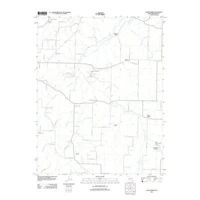 2012 High Prairie2012 Print · USGSMissouri's Ozark foothills are documented here in the early 2000s, centered on the winding Osage Fork Gasconade River. Genealogists and local historians can trace legacy sites like Shields-Corinth Cemetery and the crossroads at Johnston Ford.
 - 2012 Map of Duncan, 2012 Print
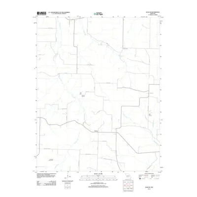 2012 Duncan2012 Print · USGSThis rural portion of Wright County in 2012 shows a landscape shaped by persistent local landmarks and family-named routes. Researchers can trace the placement of the Hiatt Post Office and several local burial sites, such as Mount Olive Cemetery and Sixteenth Cemetery.
 - 2012 Map of Fordland, 2012 Print
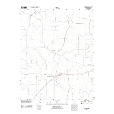 2012 Fordland2012 Print · USGSFordland and the surrounding Webster County hills are shown in this modern survey during a period of steady rural development. Genealogists and local historians can locate family sites such as Steward Cemetery or trace the drainages of Panther Creek and Greasy Creek.
 - 2015 Map of Dogwood, 2015 Print
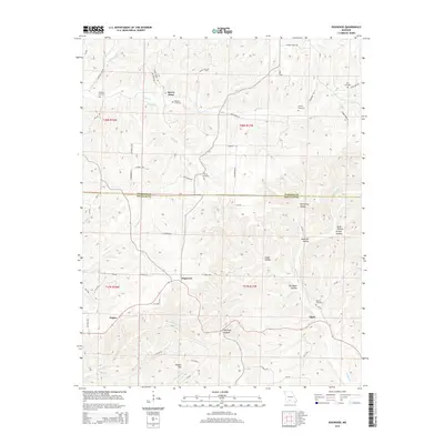 2015 Dogwood2015 Print · USGSThe rural borderlands of Webster and Douglas Counties come into focus in the mid-2010s, showcasing the persistent settlement patterns of the Missouri Ozarks. Researchers can locate several family cemeteries and small communities, including Dogwood, Tigris, and the Silvey Cemetery.
 - 2015 Map of Fordland, 2015 Print
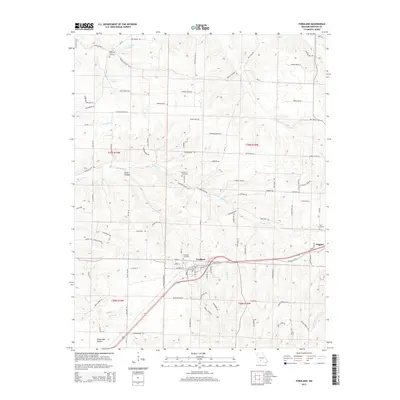 2015 Fordland2015 Print · USGSFordland and Diggins are captured in the early twenty-first century as they sit along the critical rail corridor in the Ozarks. Genealogists and local historians can trace family locations through sites like Steward Cemetery, Mount Olive Cemetery, and the geographic features of Burks Hollow.
 - 2015 Map of Elkland, 2015 Print
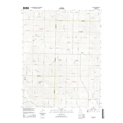 2015 Elkland2015 Print · USGSThe rural borderlands of Dallas, Webster, and Greene counties are detailed here during the early twenty-first century. Family history researchers can locate numerous burial grounds like Old Pleasant View Cemetery and trace landmarks near Olive or the Pomme de Terre River.
 - 2015 Map of Marshfield, 2015 Print
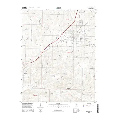 2015 Marshfield2015 Print · USGSMarshfield and the surrounding Webster County countryside are captured here in the mid-2010s. Researchers can trace family history through numerous rural sites like Friendship Cemetery and locate historic river crossings at Bumgarden Ford or Lindstrew Ford.
 - 2015 Map of Niangua, 2015 Print
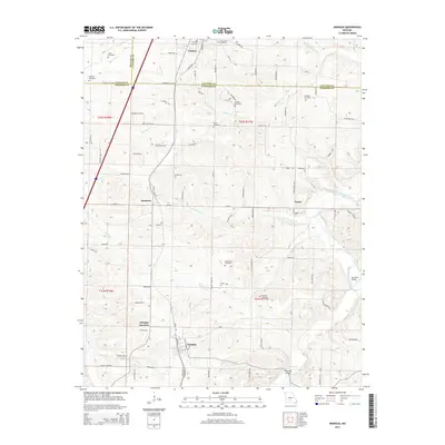 2015 Niangua2015 Print · USGSThe Missouri Ozarks borderlands near Conway and Niangua are captured here along the Frisco railroad line. Family historians can trace numerous rural burial sites like Letterman Cemetery and Tindle Cemetery or locate old crossings at Hamilton Bridge.
 - 2015 Map of High Prairie, 2015 Print
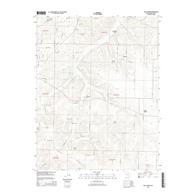 2015 High Prairie2015 Print · USGSWebster County at the start of the 2010s reveals a quiet landscape of river valleys and upland prairie settlements. Genealogists can trace local roots through numerous sites like Saint Paul Cemetery, Moore Cemetery, and the community at High Prairie.
 - 2015 Map of Cedar Gap, 2015 Print
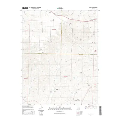 2015 Cedar Gap2015 Print · USGSThe Ozark plateau where Webster, Wright, and Douglas counties meet is shown here in the mid-2010s, revealing a landscape etched by deep hollows and rural homesteads. Researchers can locate family landmarks such as Rush Cemetery, Zenda, and the community of Mount Zion.
 - 2015 Map of Beach, 2015 Print
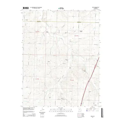 2015 Beach2015 Print · USGSWebster and Dallas counties are documented here in the mid-2010s, showing the rural landscape where the forks of the Niangua River meet. Local historians can trace family roots through sites like Marlin Cemetery, Forkners Hill, and the bluff-top views at Jameson Bluff.
 - 2015 Map of Seymour, 2015 Print
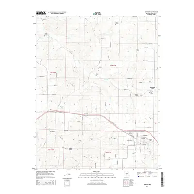 2015 Seymour2015 Print · USGSSeymour and the Missouri Ozarks are shown here in the mid-2010s, capturing a landscape deeply rooted in family history and rural tradition. Genealogists can trace family names through numerous burial sites including the Civil War Cemetery, Trimble Cemetery, and Childress Cemetery.
Showing maps 1-25 of 48
Top cities of Webster County
- Marshfield historical maps
- Seymour historical maps
- Fordland historical maps
- Niangua historical maps
- Diggins historical maps
- Holman historical maps
Frequently asked questions
- What are the different types of historical maps available for Webster County?
- What is the oldest map of Webster County?
- Where can I purchase historical maps of Webster County for my home or office?
- Where can I download high-res historical maps of Webster County?
- Are there historical topographic maps available for Webster County?
- Is there historical aerial imagery available for Webster County?
- Where are historical maps of Webster County sourced from?