Old Maps of Hardin, Montana for Genealogy
Trace your family roots with 23 historic maps of Hardin. These high-res maps reveal old neighborhoods, homesites, landmarks, and streets — helping you uncover where your ancestors lived and how the area evolved over time.
- Explore historic neighborhoods: Identify where your relatives may have lived in the 1800s or 1900s.
- Compare maps over time: Trace the changes in streets, buildings, and landmarks for multi-generational research.
- Perfect for genealogy & ancestry research: Used by family historians and researchers to map out lineage and migration.
These maps are an incredible resource for exploring your personal connection to Hardin's past.
Hardin, MT maps
(23)- 1894 Map of Fort Custer
 1894 Fort Custer1894 Print · USGSBig Horn County was still a frontier landscape in the 1890s, defined by the meeting of the Big Horn River and Little Big Horn R. You can trace the early railroad at Pompey Pillar Sta. and the grounds of the Fort Custer Military Reservation.4 unique versions available
 - 1954 Map of Hardin, 1964 Print
 1954 Hardin1964 Print · USGSSoutheastern Montana is documented here during the mid-fifties, showing the vast tribal lands and historic battle sites before modern highway expansion. Researchers can trace the Chicago Burlington and Quincy rail line through Hardin or locate the Custer National Cemetery and Museum.2 unique versions available
 - 1957 Map of Hardin
 1957 Hardin1957 Print · USGSSoutheastern Montana in the mid-fifties reveals a landscape shaped by tribal lands and the historic Bighorn river valleys. Researchers can trace the Chicago Burlington and Quincy RR through Hardin and locate the National Cemetery and Custer Battlefield Monument.
 - 1958 Map of Hardin
 1958 Hardin1958 Print · USGSSoutheastern Montana in the mid-fifties presents a landscape defined by significant tribal lands and national monuments. Researchers can trace the geography of the Little Bighorn at Custer Battlefield National Monument and locate settlements like Lame Deer and Birney.
 - 1960 Map of Ninemile Point, 1962 Print
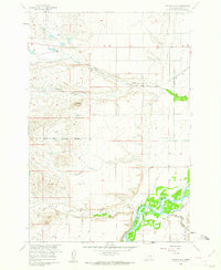
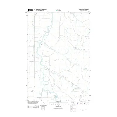
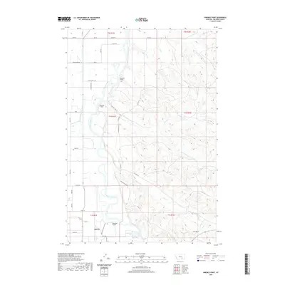
 1960 Ninemile Point1962 Print · USGSBig Horn County in the early sixties reveals a landscape of industrial agriculture and river-valley ranching. Genealogists and historians can trace family properties like Miller Ranch, locate the Nine Mile Sch, and study the rail-side Sugar Refinery at Whitman.2 unique versions available
 - 1960 Map of Walker Hill, 1962 Print
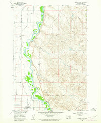
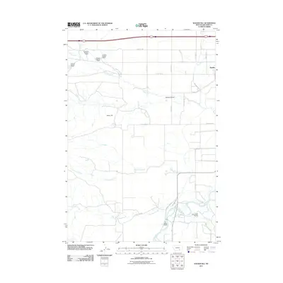
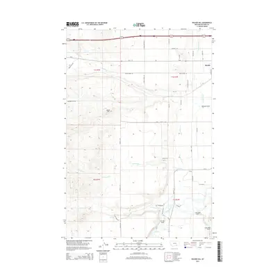
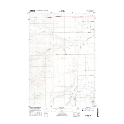
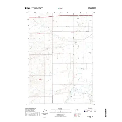
 1960 Walker Hill1962 Print · USGSThe Bighorn River valley in the early sixties was a landscape of intensive irrigation and rail transport. Researchers can trace local landmarks like Walker Hill, the Chicago Burlington and Quincy railroad, and the Two Leggins Canal.3 unique versions available
 - 1960 Map of Hardin, 1962 Print
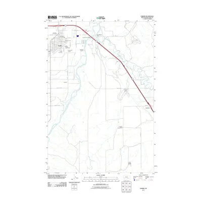
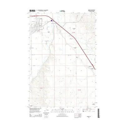
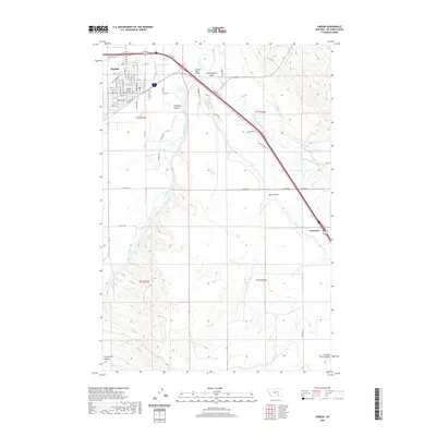
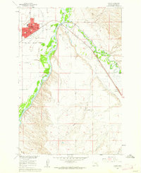 1960 Hardin1962 Print · USGSHardin and the Bighorn River valley are shown here in the early sixties, a time of established irrigation and rail transport. Researchers can locate the Historical Monument (Site of Fort Custer), trace the Farmers Canal, and find local landmarks like St Joseph Ch.3 unique versions available
 - 1981 Map of Hardin
 1981 Hardin1981 Print · USGSBig Horn County at the start of the eighties shows a landscape shaped by the Bighorn River and deep historical ties. Researchers can trace the grounds of Custer Battlefield National Monument or find small rail points like Toluca and Crow Agency.
 - 2011 Map of Hardin, 2011 Print
 2011 Hardin2011 Print · USGSCovers Hardin, including Dunmore, Big Horn County, and other nearby areas
 - 2011 Map of Ninemile Point, 2011 Print
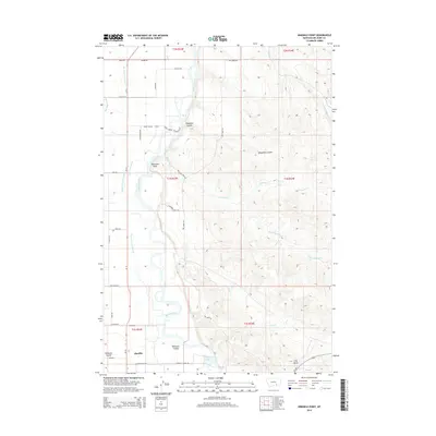
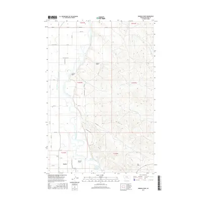
 2011 Ninemile Point2011 Print · USGSCovers Hardin, including Big Horn County, United States, and other nearby areas
 - 2011 Map of Walker Hill, 2011 Print
 2011 Walker Hill2011 Print · USGSCovers Hardin, including Big Horn County, United States, and other nearby areas
 - 2014 Map of Walker Hill, 2014 Print
 2014 Walker Hill2014 Print · USGSCovers Hardin, including Big Horn County, United States, and other nearby areas
 - 2014 Map of Ninemile Point, 2014 Print
 2014 Ninemile Point2014 Print · USGSCovers Hardin, including Big Horn County, United States, and other nearby areas
 - 2014 Map of Hardin, 2014 Print
 2014 Hardin2014 Print · USGSCovers Hardin, including Dunmore, Big Horn County, and other nearby areas
 - 2017 Map of Walker Hill, 2017 Print
 2017 Walker Hill2017 Print · USGSCovers Hardin, including Big Horn County, United States, and other nearby areas
 - 2017 Map of Ninemile Point, 2017 Print
 2017 Ninemile Point2017 Print · USGSCovers Hardin, including Big Horn County, United States, and other nearby areas
 - 2017 Map of Hardin, 2017 Print
 2017 Hardin2017 Print · USGSCovers Hardin, including Dunmore, Big Horn County, and other nearby areas
 - 2020 Map of Ninemile Point, 2020 Print
 2020 Ninemile Point2020 Print · USGSCovers Hardin, including Big Horn County, United States, and other nearby areas
 - 2020 Map of Walker Hill, 2020 Print
 2020 Walker Hill2020 Print · USGSCovers Hardin, including Big Horn County, United States, and other nearby areas
 - 2020 Map of Hardin, 2020 Print
 2020 Hardin2020 Print · USGSCovers Hardin, including Dunmore, Big Horn County, and other nearby areas
 - 2024 Map of Walker Hill, 2024 Print
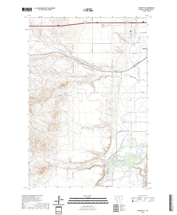 2024 Walker Hill2024 Print · USGSBig Horn County at the present day remains a landscape shaped by the Bighorn River and its legacy of irrigation. Researchers can trace land holdings and infrastructure from the Hardin Cem to the Two Leggins Canal and Sitting Bull Rapids.
 - 2024 Map of Ninemile Point, 2024 Print
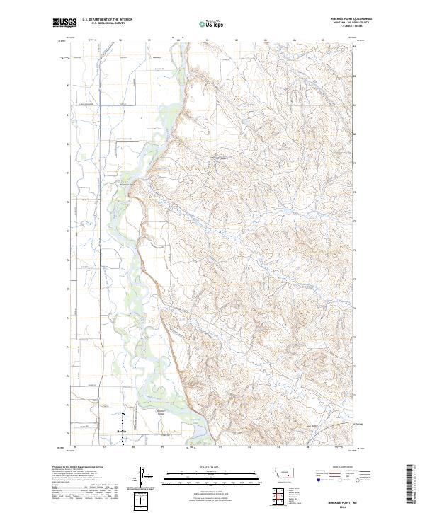 2024 Ninemile Point2024 Print · USGSThe Bighorn River valley and the northern outskirts of Hardin are documented in this recent survey of Big Horn County. Researchers can trace land use and water management through features like the Big Horn Low Line Canal, Ninemile Point, and Arapooish Pond.
 - 2024 Map of Hardin, 2024 Print
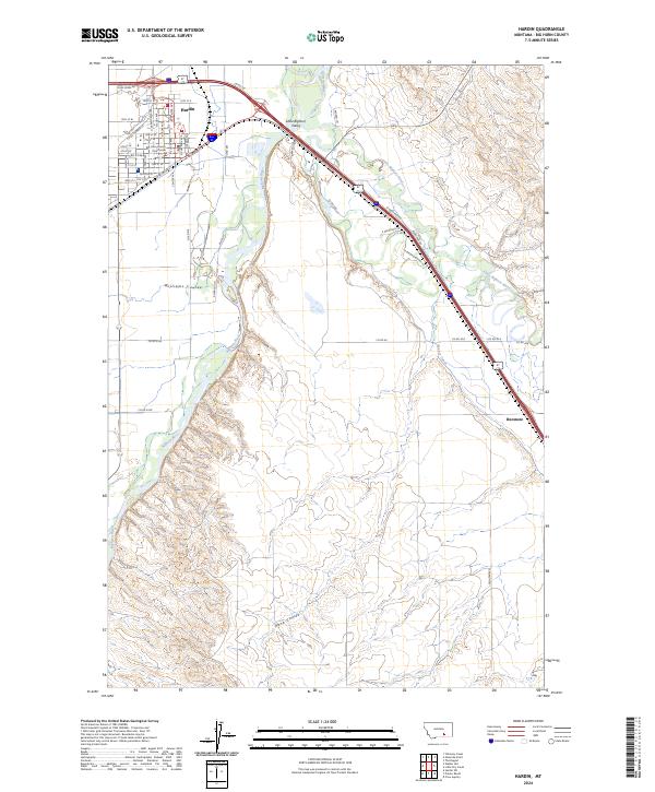 2024 Hardin2024 Print · USGSBig Horn County in the mid-2020s remains defined by the junction of two legendary rivers and the grit of the railroad. Genealogists and historians can trace the development of Hardin and locate family landmarks from the Big Horn County Courthouse to Dunmore.
End of results
Showing maps 1-23 of 23
Top cities near Hardin
Frequently asked questions
- What are the different types of historical maps available for Hardin?
- What is the oldest map of Hardin?
- Where can I purchase historical maps of Hardin for my home or office?
- Where can I download high-res historical maps of Hardin?
- Are there historical topographic maps available for Hardin?
- Is there historical aerial imagery available for Hardin?
- Where are historical maps of Hardin sourced from?