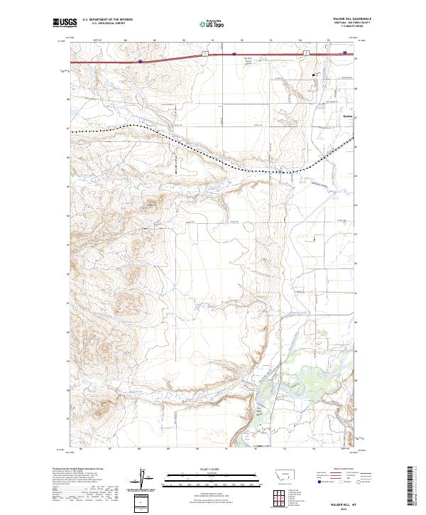
2024 Map of Walker Hill
USGS Topo · Published 2024About this map
The Bighorn River corridor near Hardin is defined by a complex network of irrigation and aviation, centered around the Big Horn County Airport. The landscape is etched with the courses of Cottonwood Creek and Peritsa Creek, while the Two Leggins Canal and S Big Horn Canal demonstrate the region's reliance on managed water systems. Significant landmarks include the prominent elevation of Walker Hill and the historical trajectory of Old US Hwy 87, which parallels modern transit routes.
Find a feature on this map
41 named features on this map. Tap any name to fly to it.
Don’t see what you’re looking for? This feature index may not catch every label — zoom into the map to look around manually.
Map Details
Editions of this 2024 Walker Hill Map
This is the sole edition of this map. No revisions or reprints were ever made.
Other maps of this area

1894 · Fort Custer
USGS Topo · 1:125,000

1954 · Hardin
USGS Topo · 1:250,000

1957 · Hardin
USGS Topo · 1:250,000

1958 · Hardin
USGS Topo · 1:250,000

1960 · Ninemile Point
USGS Topo · 1:24,000

1960 · Chimney Creek
USGS Topo · 1:24,000

1960 · Walker Hill
USGS Topo · 1:24,000

1960 · Hardin
USGS Topo · 1:24,000
1960 · Prante Ranch
USGS Topo · 1:24,000

1960 · Hardin SW
USGS Topo · 1:24,000