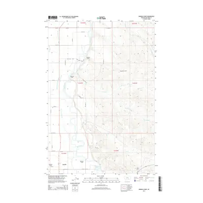
2014 Map of Ninemile Point
USGS Topo · Published 2014About this map
Hardin occupies the southwestern corner of this quadrangle, situated where the high plains meet the intricate riparian corridor of the Bighorn River. The landscape is defined by an extensive network of irrigation infrastructure essential to the region's agricultural economy, including the Big Horn Low Line Canal and the Two Leggins Canal. These man-made waterways parallel the river's winding path, carving through the terrain near landmarks like Ninemile Point and Lone Tree Coulee.
Find a feature on this map
40 named features on this map. Tap any name to fly to it.
Don’t see what you’re looking for? This feature index may not catch every label — zoom into the map to look around manually.
Map Details
Editions of this 2014 Ninemile Point Map
This is the sole edition of this map. No revisions or reprints were ever made.
Other maps of this area

1894 · Fort Custer
USGS Topo · 1:125,000

1954 · Hardin
USGS Topo · 1:250,000

1957 · Hardin
USGS Topo · 1:250,000

1958 · Hardin
USGS Topo · 1:250,000

1960 · Foster
USGS Topo · 1:24,000

1960 · Ninemile Point
USGS Topo · 1:24,000

1960 · Chimney Creek
USGS Topo · 1:24,000

1960 · Walker Hill
USGS Topo · 1:24,000

1960 · Hardin
USGS Topo · 1:24,000
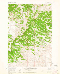
1960 · Lemon Ranch
USGS Topo · 1:24,000