2020s Maps of Hays District, Montana
Explore 30 historic maps of Hays District from the 2020s. These maps offer a rare glimpse into what life looked like during the 2020s — showing old roads, neighborhoods, homes, and landmarks that have changed or disappeared over time.
Whether you're researching your family's past, planning a metal detecting trip, or studying how Hays District's landscape evolved across the 2020s, these high-resolution maps are a powerful tool for exploring the history of this region.
- Focus on a specific era: All maps on this page are from the 2020s, giving you a focused view of this time period.
- See what’s changed: Compare century-old streets, trails, and buildings to today's modern landscape using overlays and satellite layers.
- Research with precision: Use these maps for genealogy, historical research, land use analysis, or educational projects.
- View, download, or print: Maps are fully viewable online in high resolution, and can be downloaded or printed for your own records.
Start exploring Hays District's history through authentic maps from the 2020s. This is your window into the past.
Hays District, MT maps
(30)- 2020 Map of Cow Island, 2020 Print
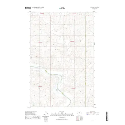 2020 Cow Island2020 Print · USGSThe Missouri River breaks and high plains of Montana are surveyed here during the late 2010s. Researchers can trace the winding river corridor around Cow Island and follow drainage systems like Kills-at-Night Cr and Cow Creek.
 - 2020 Map of Zortman, 2020 Print
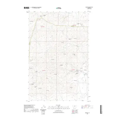 2020 Zortman2020 Print · USGSThe mining-era settlements of the Little Rocky Mountains are documented in 2020. Local researchers can trace family sites near Zortman, Landusky, and the Zortman Cem, or locate landmarks like Gold Bug Butte.
 - 2020 Map of Lodge Pole NW, 2020 Print
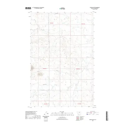 2020 Lodge Pole NW2020 Print · USGSBlaine County's high plains and winding creek beds are documented here in the early twenty-first century. Researchers can trace land-use patterns and family-named routes such as Jack Quisno Dr and Foxy Filesteel Dr near the prominent Three Buttes.
 - 2020 Map of Stiffarm Coulee, 2020 Print
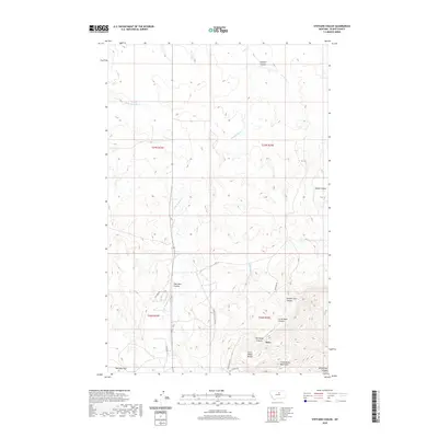 2020 Stiffarm Coulee2020 Print · USGSBlaine County's high plains meet the mountain foothills in the 2020s, showing the settlement of Hays and the rugged northern reaches of the Little Rocky Mountains. Researchers can trace old routes like the Lodge Pole Cut Across and locate named landmarks like Carry Water Bench and Owl Head Canyon.
 - 2020 Map of Lodge Pole NE, 2020 Print
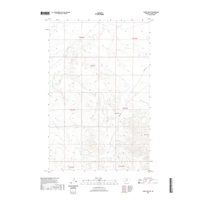 2020 Lodge Pole NE2020 Print · USGSUpper Montana's drainages and highlands are captured in this contemporary survey, showing the land as it appeared in 2020. Local researchers can trace the winding paths of Peoples Cr and locate topographical landmarks like Black Butte and Corral Coulee.
 - 2020 Map of Suction Butte, 2020 Print
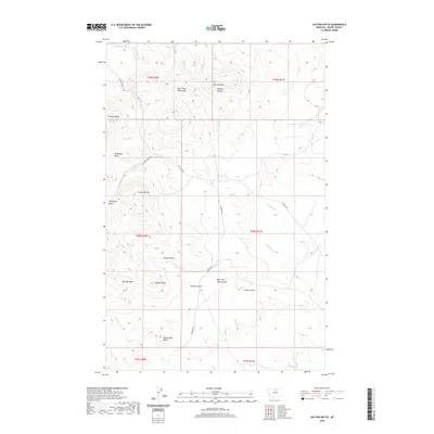 2020 Suction Butte2020 Print · USGSThe high peaks and deep basins of the Montana backcountry are meticulously detailed in this recent study of the Hays District. Researchers and collectors can trace remote routes like Mitchell Rd and locate landmarks such as Suction Butte and Belcher Peak.
 - 2020 Map of Lodge Pole, 2020 Print
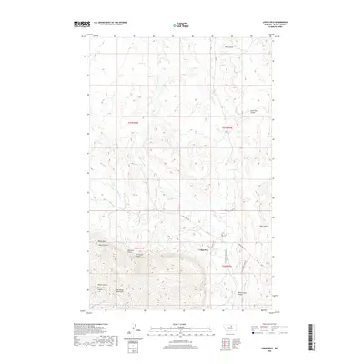 2020 Lodge Pole2020 Print · USGSLodge Pole and the northern foothills of the Little Rocky Mountains are shown in this contemporary study of Blaine County. Researchers can trace the rural road network and water sources like Blackbull Spring or follow the deep contours of White Horse Canyon and Mouse Canyon.
 - 2020 Map of Lake Seventeen NE, 2020 Print
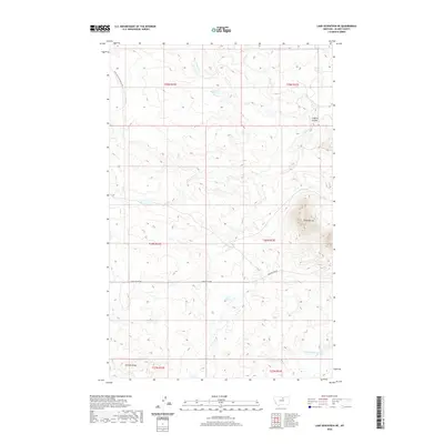 2020 Lake Seventeen NE2020 Print · USGSNorth-central Montana's high plains are documented here in the early twenty-first century, showing the remote ranching country of Blaine County. Trace the paths of Peoples Cr through the draws and locate landmarks like Three Buttes and Putnam Ridge.
 - 2020 Map of Putnam Lake, 2020 Print
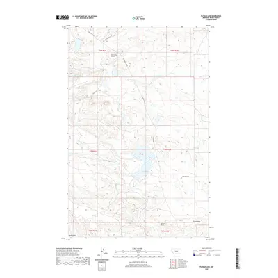 2020 Putnam Lake2020 Print · USGSBlaine County's high plains and drainage systems are captured here in the contemporary era. Researchers can trace the rugged topography of Haystack Butte and follow long-established routes like Barney Olson Rd and Sand Cliff Rd.
 - 2020 Map of Rattlesnake, 2020 Print
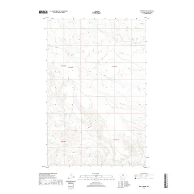 2020 Rattlesnake2020 Print · USGSBlaine County in 2020 is a landscape of high plateaus and deep drainages shaped by the elements. Genealogists and historians can trace the sparse road network like Birdtail Rd and water features including Suction Cr Reservoir and Cromley Bench.
 - 2020 Map of Crazyman Coulee, 2020 Print
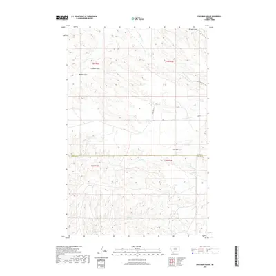 2020 Crazyman Coulee2020 Print · USGSBlaine and Phillips counties are mapped in this modern survey of the Montana high plains. Researchers can trace land use through named features like Brockie Spring, the winding Kills At Night Cr, and local routes such as Dave Hawley Ln.
 - 2020 Map of Lake Seventeen West, 2020 Print
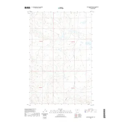 2020 Lake Seventeen West2020 Print · USGSBlaine County's open landscape is documented in the modern era, showing the intricate drainages of the Hays District. Researchers can trace the path of Suction Cr and Rattlesnake Cr, or locate landmarks like Lake Seventeen and Tin Cup Coulee.
 - 2020 Map of John Coulee, 2020 Print
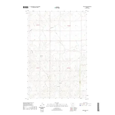 2020 John Coulee2020 Print · USGSThe high plains of Blaine County come into sharp focus in this recent survey of the Hays District. Researchers can trace the winding paths of Kills At Night Cr and Little Suction Cr or locate old routes like Spencer Ridge Rd.
 - 2020 Map of Hays, 2020 Print
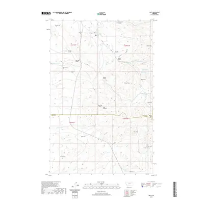 2020 Hays2020 Print · USGSThe foothills of the Little Rocky Mountains come alive in this recent survey of the Missouri River Country. Genealogists and local historians can trace burial sites at Saint Pauls Mission Cem and McConnell Cem or locate the peaks of Eagle Child Mtn and Indian Peak.
 - 2020 Map of Lake Seventeen East, 2020 Print
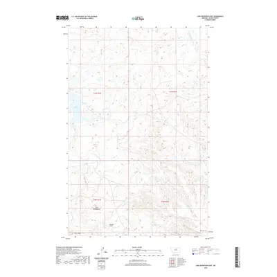 2020 Lake Seventeen East2020 Print · USGSThe Hays District of Blaine County is captured here in its modern topographic context, showing the high plains of northern Montana. Researchers can trace landforms like Spirit Woman Butte, Warneke Coulee, and the namesake Lake Seventeen.
 - 2024 Map of Cow Island, 2024 Print
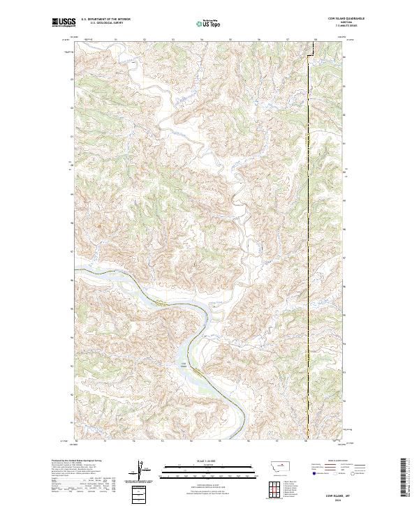 2024 Cow Island2024 Print · USGSThe Missouri River breaks of Blaine County are shown in this contemporary topographic study of the Montana wilderness. Researchers can trace the winding course of the Missouri Wild and Scenic River past Cow Island and follow drainage patterns along Kills At Night Creek.
 - 2024 Map of Crazyman Coulee, 2024 Print
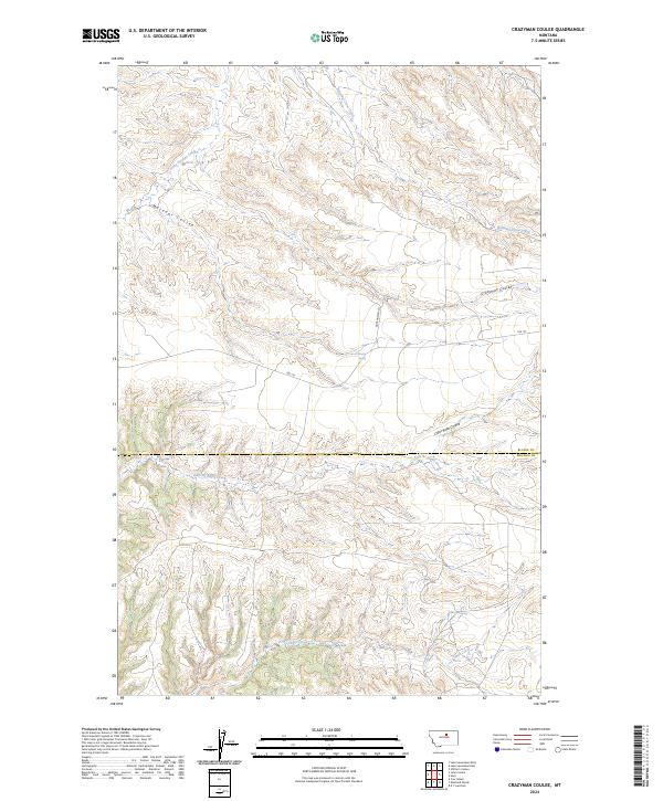 2024 Crazyman Coulee2024 Print · USGSBlaine County, Montana, is shown here in the 2020s, dominated by the erosion-sculpted terrain of the Missouri River Breaks. Researchers can trace land features like Crazyman Coulee and Kills At Night Creek or locate Brockie Spring.
 - 2024 Map of John Coulee, 2024 Print
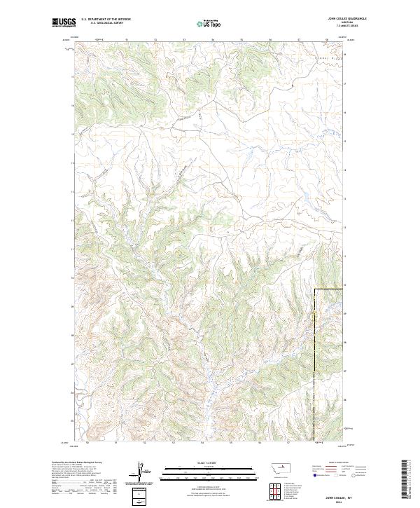 2024 John Coulee2024 Print · USGSBlaine and Phillips counties are captured here in 2024, showing the protected lands and complex drainages of north-central Montana. Researchers can trace the rugged network of John Coulee, Kills At Night Creek, and the high reaches of Timber Ridge.
 - 2024 Map of Lodge Pole NE, 2024 Print
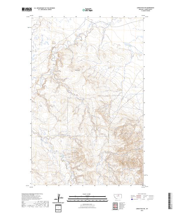 2024 Lodge Pole NE2024 Print · USGSBlaine County's high plains and seasonal waterways are documented here in the contemporary era. Researchers can trace the path of South Fork Peoples Creek and Lodge Pole Creek as they navigate the terrain around Black Butte.
 - 2024 Map of Lake Seventeen NE, 2024 Print
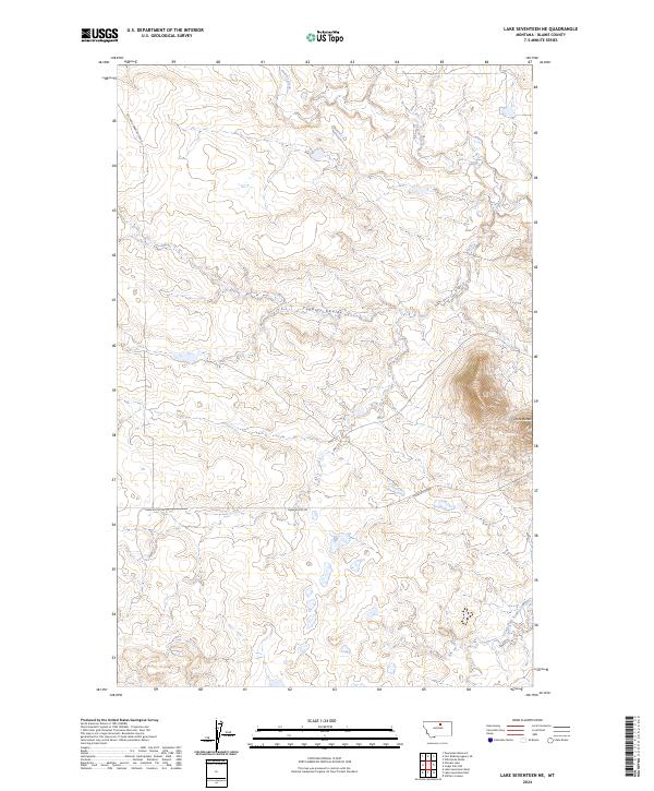 2024 Lake Seventeen NE2024 Print · USGSBlaine County's high plains are documented here in the early twenty-first century, showing a remote landscape defined by the drainage of Peoples Creek. Local historians can trace the paths of Left Fork Snake Butte Rd and the prominent rising terrain of Three Buttes.
 - 2024 Map of Stiffarm Coulee, 2024 Print
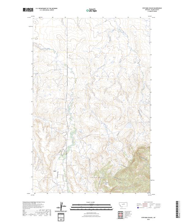 2024 Stiffarm Coulee2024 Print · USGSBlaine County's southern landscapes are revealed here as they appear today, where the settlement of Hays meets the northern front of the Little Rocky Mountains. Trace the drainage of the plains through Stiffarm Coulee or follow the route of the Lodge Pole Cut-Across.
 - 2024 Map of Lodge Pole NW, 2024 Print
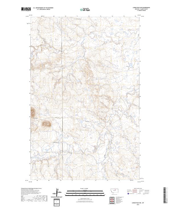 2024 Lodge Pole NW2024 Print · USGSBlaine County's high plains and winding creek beds are captured here in the early twenty-first century. Researchers can trace local names and landmarks across the drainage of Peoples Creek, from Three Buttes to roads like Bertha Snow Rd.
 - 2024 Map of Putnam Lake, 2024 Print
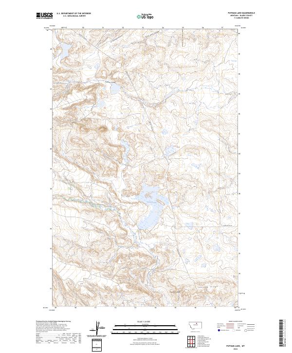 2024 Putnam Lake2024 Print · USGSBlaine County's high plains are documented in this recent survey, capturing a landscape of intermittent coulees and high ridges. Researchers can trace the drainage of Suction Creek into Putnam Lake or follow rural paths like Three Buttes Rd.
 - 2024 Map of Rattlesnake, 2024 Print
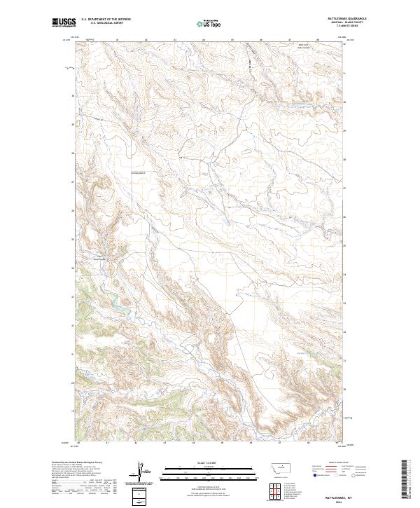 2024 Rattlesnake2024 Print · USGSBlaine County's high plains and river breaks are documented here in the early twenty-first century, showing a landscape shaped by drainage and topography. Researchers can trace remote routes like Birdtail Rd or locate water features such as Suction Cr Reservoir and Coal Mine Coulee.
 - 2024 Map of Lodge Pole, 2024 Print
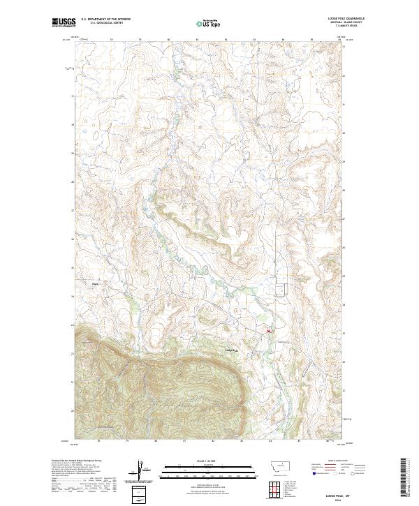 2024 Lodge Pole2024 Print · USGSThe northern foothills of the Little Rocky Mountains meet the high plains in this modern survey of south-central Blaine County. Researchers can trace land features from Mouse Butte to the deep recesses of White Cow Canyon and the settlement at Lodge Pole.
Showing maps 1-25 of 30
Top neighborhoods of Hays District
Frequently asked questions
- What are the different types of historical maps available for Hays District?
- What is the oldest map of Hays District?
- Where can I purchase historical maps of Hays District for my home or office?
- Where can I download high-res historical maps of Hays District?
- Are there historical topographic maps available for Hays District?
- Is there historical aerial imagery available for Hays District?
- Where are historical maps of Hays District sourced from?