2010s Maps of Hays District, Montana
Explore 45 historic maps of Hays District from the 2010s. These maps offer a rare glimpse into what life looked like during the 2010s — showing old roads, neighborhoods, homes, and landmarks that have changed or disappeared over time.
Whether you're researching your family's past, planning a metal detecting trip, or studying how Hays District's landscape evolved across the 2010s, these high-resolution maps are a powerful tool for exploring the history of this region.
- Focus on a specific era: All maps on this page are from the 2010s, giving you a focused view of this time period.
- See what’s changed: Compare century-old streets, trails, and buildings to today's modern landscape using overlays and satellite layers.
- Research with precision: Use these maps for genealogy, historical research, land use analysis, or educational projects.
- View, download, or print: Maps are fully viewable online in high resolution, and can be downloaded or printed for your own records.
Start exploring Hays District's history through authentic maps from the 2010s. This is your window into the past.
Hays District, MT maps
(45)- 2011 Map of John Coulee, 2011 Print
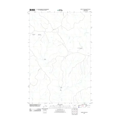 2011 John Coulee2011 Print · USGSThis rural portion of Blaine County, Montana, is captured during the early 21st century when ranching infrastructure and seasonal water management shaped the local landscape. Researchers can trace the drainage patterns of John Coulee and locate specific water resources like Noel Number 1 Dam and the Fort Belknap Number 21 Dam.
 - 2011 Map of Crazyman Coulee, 2011 Print
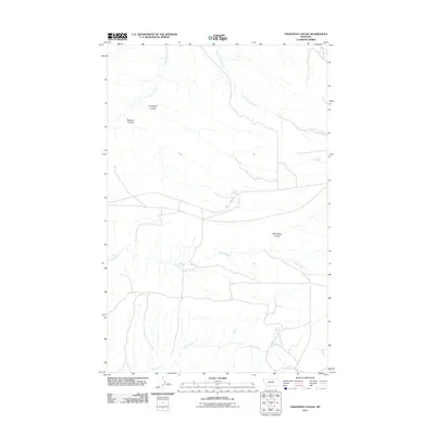 2011 Crazyman Coulee2011 Print · USGSIn this northern Montana landscape during the early 2010s, ranching and water rights define the terrain. Genealogists and historians can trace named landmarks like Crazyman Coulee, Brockie Spring, and the path of Rte 127.
 - 2011 Map of Cow Island, 2011 Print
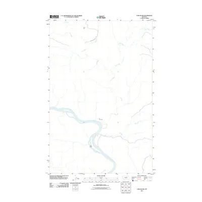 2011 Cow Island2011 Print · USGSThe Missouri River breaks of northern Montana are shown in detail during the early 21st century. Historians can trace the isolation of the Kip Homestead and landmarks like Cow Island and Sixty Dam in this sparsely populated landscape.
 - 2011 Map of Zortman, 2011 Print
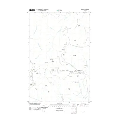 2011 Zortman2011 Print · USGSZortman and Landusky appear at a peak of modern mining activity in these Montana highlands. Researchers can trace the extensive legacy of extraction through dozens of named sites, including the August Mine, Zortman Cemetery, and Ruby Gulch Tailings.
 - 2011 Map of Rattlesnake, 2011 Print
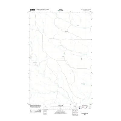 2011 Rattlesnake2011 Print · USGSBlaine County's high plains in the early twenty-first century are defined by an intricate web of coulees and water management sites. Researchers can trace the heritage of local land use through features like Coal Mine Coulee, Suction Creek Reservoir, and the Rattlesnake settlement.
 - 2011 Map of Suction Butte, 2011 Print
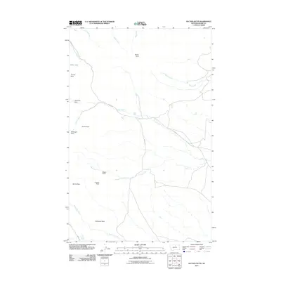 2011 Suction Butte2011 Print · USGSBlaine County's high-plains landscape is documented here in the early twenty-first century, showing the remote breaks and buttes of the Hays District. Researchers can trace the network of ranch roads like Martens Rd and locate landmarks such as Suction Butte, Wilson Desert, and Number 10 Dam.
 - 2011 Map of Lodge Pole NE, 2011 Print
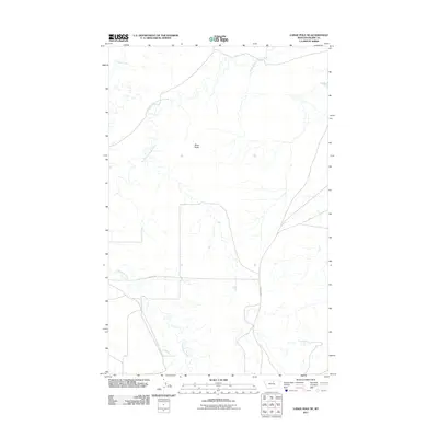 2011 Lodge Pole NE2011 Print · USGSThe Lodge Pole District in Blaine County comes into focus in this contemporary survey of the Montana plains. Researchers can trace the courses of Peoples Creek and Lodge Pole Creek alongside regional landmarks like Black Butte.
 - 2011 Map of Lodge Pole, 2011 Print
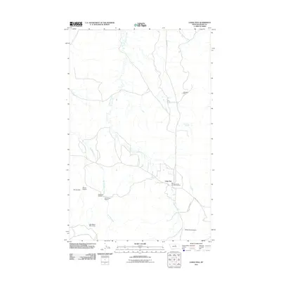 2011 Lodge Pole2011 Print · USGSThe Lodge Pole District in the early twenty-first century is captured here as the landscape rises into the northern Little Rocky Mountains. Local historians can trace the road network connecting Lodge Pole to outlying landmarks like Kirkaldie Dam and Blackbull Spring.
 - 2011 Map of Lodge Pole NW, 2011 Print
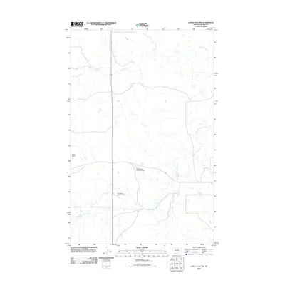 2011 Lodge Pole NW2011 Print · USGSThe Agency District of Montana is shown in the early twenty-first century, revealing a landscape shaped by the drainage of the Fort Belknap Reservation. Researchers can trace the paths of Peoples Creek and locate water infrastructure like Fort Belknap Number 35 Dam.
 - 2011 Map of Putnam Lake, 2011 Print
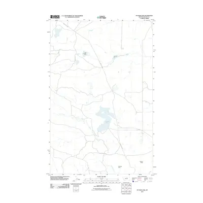 2011 Putnam Lake2011 Print · USGSBlaine County's high plains terrain and water infrastructure are captured here in the early twenty-first century. Researchers can locate remote landmarks like Haystack Butte and rural infrastructure including Olive Oil Dam or Putnam Lake.
 - 2011 Map of Stiffarm Coulee, 2011 Print
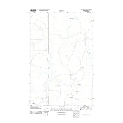 2011 Stiffarm Coulee2011 Print · USGSThe Hays District of Blaine County is characterized in the early 2000s by a vast, intricate network of canyons and seasonal creeks. Local history enthusiasts can trace the paths of Spotted Bird Creek and Little Peoples Creek past landmarks like Four Bear Coulee and White Cow Canyon.
 - 2011 Map of Hays, 2011 Print
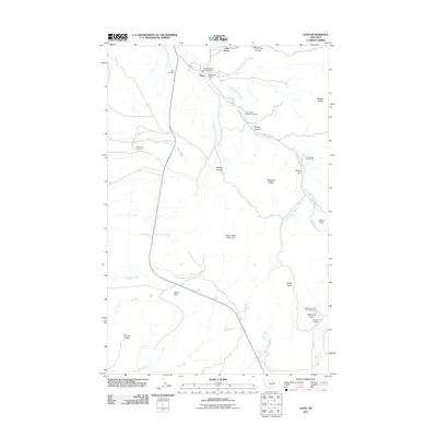 2011 Hays2011 Print · USGSThe community of Hays and the southern reaches of the Fort Belknap Indian Reservation are shown here as they appeared in the early twenty-first century. Genealogists and historians can locate family sites at Saint Pauls Mission Cemetery, McConnell Cemetery, and the Hays Post Office.
 - 2011 Map of Lake Seventeen NE, 2011 Print
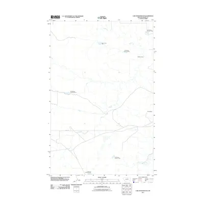 2011 Lake Seventeen NE2011 Print · USGSThe Agency District of Blaine County is seen here in the early twenty-first century, showing a landscape shaped by water management. Genealogists and researchers can trace the drainages of Peoples Creek and locate historic water works like Many People Dam and Fort Belknap Number 28 Dam.
 - 2011 Map of Lake Seventeen West, 2011 Print
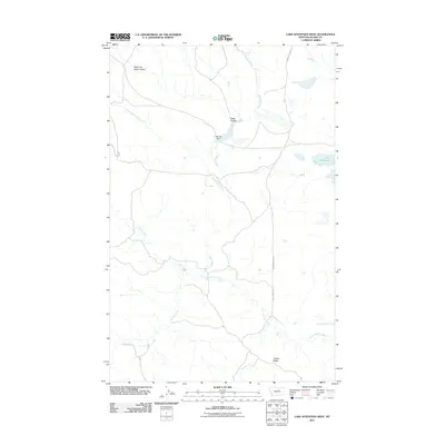 2011 Lake Seventeen West2011 Print · USGSBlaine County ranching country is documented here in the early twenty-first century, showing a landscape shaped by coulees and prairie ridges. Researchers can trace the drainage patterns of Rattlesnake Creek and find rural landmarks like Mitchell Dam and Lake Seventeen.
 - 2011 Map of Lake Seventeen East, 2011 Print
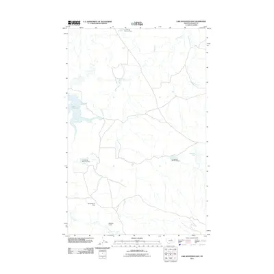 2011 Lake Seventeen East2011 Print · USGSBlaine County's high plains and the Fort Belknap Indian Reservation are documented here in the early twenty-first century. Researchers can trace vital water infrastructure and landmarks like Spirit Woman Butte, Lake Seventeen, and the Fort Belknap Number 22 Dam.
 - 2014 Map of Lake Seventeen West, 2014 Print
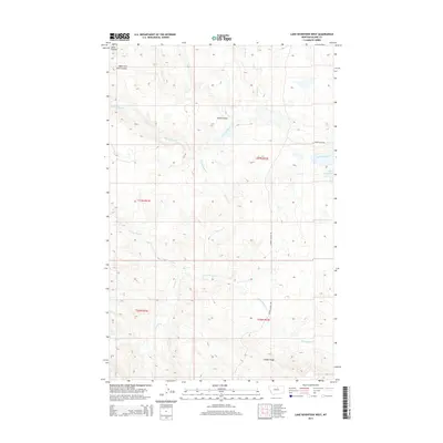 2014 Lake Seventeen West2014 Print · USGSBlaine County's high plains and seasonal drainages are captured here in the early twenty-first century. Researchers can trace the winding paths of Jacks Coulee and Tin Cup Coulee or locate regional landmarks like Lake Seventeen and Timber Ridge.
 - 2014 Map of Lodge Pole NE, 2014 Print
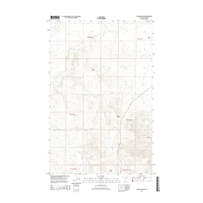 2014 Lodge Pole NE2014 Print · USGSThe Lodge Pole District of Montana is shown here in the early twenty-first century, featuring the drainage systems of the high plains. Genealogists and researchers can trace the routes of BIA-129 and BIA-8 past landmarks like Black Butte and Corral Coulee.
 - 2014 Map of Lodge Pole NW, 2014 Print
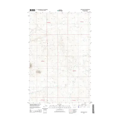 2014 Lodge Pole NW2014 Print · USGSBlaine County's high plains are documented here in the early twenty-first century, showing the enduring drainage patterns of the Fort Belknap area. Genealogists and researchers can trace the course of Peoples Cr and locate prominent landmarks like Three Buttes.
 - 2014 Map of Lake Seventeen East, 2014 Print
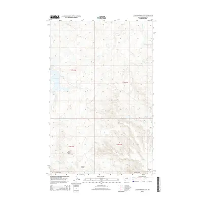 2014 Lake Seventeen East2014 Print · USGSBlaine County's high plains and coulees are documented here in the early twenty-first century. Researchers can trace landforms and local hydrology from Spirit Woman Butte to the shores of Lake Seventeen and Skinners Lake.
 - 2014 Map of Putnam Lake, 2014 Print
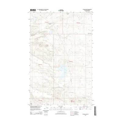 2014 Putnam Lake2014 Print · USGSBlaine County's high plains are mapped in detail during the early 2010s, showing a landscape defined by coulees and ridges. Researchers can trace the drainage of Suction Cr into Putnam Lake or locate landmarks like Haystack Butte and Putnam Ridge.
 - 2014 Map of Lake Seventeen NE, 2014 Print
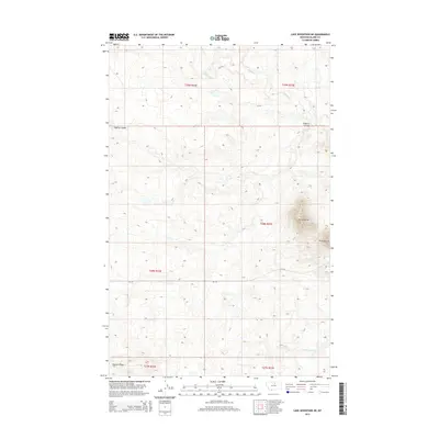 2014 Lake Seventeen NE2014 Print · USGSBlaine County's high plains are documented here in the early twenty-first century, showing a landscape defined by natural drainages and tribal infrastructure. Researchers can trace landforms like Three Buttes and Fogarty Coulee, or follow the route of BIA-129.
 - 2014 Map of Lodge Pole, 2014 Print
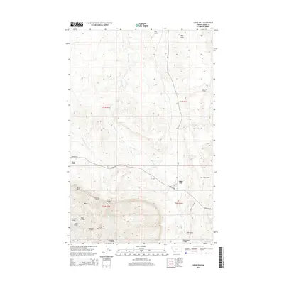 2014 Lodge Pole2014 Print · USGSThe foothills of the Little Rocky Mountains define the landscape in this 2014 Montana survey. Genealogists and local historians can trace the roads and canyons surrounding Lodge Pole, Hays, and the remote Blackbull Spring.
 - 2014 Map of Rattlesnake, 2014 Print
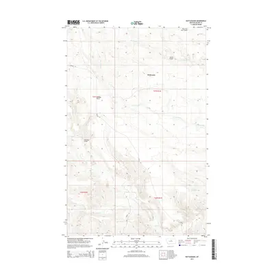 2014 Rattlesnake2014 Print · USGSBlaine County's high-plains landscape is captured here in the early twenty-first century, showcasing a rugged network of coulees and benches. Researchers can trace the drainage patterns of Tin Cup Coulee and identify landmarks like Cromley Bench and Coal Mine Coulee.
 - 2014 Map of Suction Butte, 2014 Print
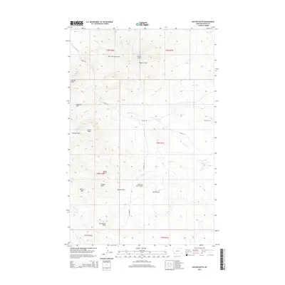 2014 Suction Butte2014 Print · USGSNorthern Montana's high country is captured here in the early twenty-first century, showing a landscape shaped by the foothills of the Bears Paw Mountains. Genealogists and historians can trace the remote drainage patterns of Suction Cr and Logan Cr or locate landmarks like Thunder Butte and Wilson Desert.
 - 2014 Map of John Coulee, 2014 Print
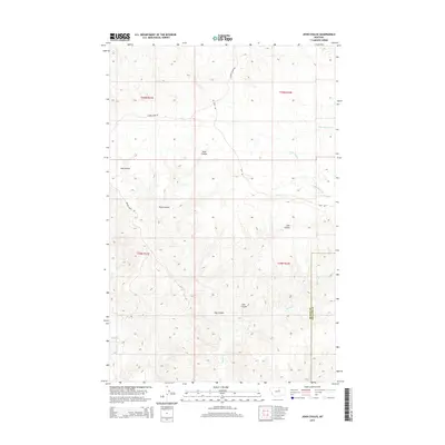 2014 John Coulee2014 Print · USGSThe northern Montana plains near the border of Blaine and Phillips counties are detailed here during the early twenty-first century. Researchers can trace the winding paths of Little Suction Cr and Squaw Cr through deep features like John Coulee and Buck Coulee.
Showing maps 1-25 of 45
Top neighborhoods of Hays District
Frequently asked questions
- What are the different types of historical maps available for Hays District?
- What is the oldest map of Hays District?
- Where can I purchase historical maps of Hays District for my home or office?
- Where can I download high-res historical maps of Hays District?
- Are there historical topographic maps available for Hays District?
- Is there historical aerial imagery available for Hays District?
- Where are historical maps of Hays District sourced from?