1960s Maps of Garfield County, Montana
Explore 90 historic maps of Garfield County from the 1960s. These maps offer a rare glimpse into what life looked like during the 1960s — showing old roads, neighborhoods, homes, and landmarks that have changed or disappeared over time.
Whether you're researching your family's past, planning a metal detecting trip, or studying how Garfield County's landscape evolved across the 1960s, these high-resolution maps are a powerful tool for exploring the history of this region.
- Focus on a specific era: All maps on this page are from the 1960s, giving you a focused view of this time period.
- See what’s changed: Compare century-old streets, trails, and buildings to today's modern landscape using overlays and satellite layers.
- Research with precision: Use these maps for genealogy, historical research, land use analysis, or educational projects.
- View, download, or print: Maps are fully viewable online in high resolution, and can be downloaded or printed for your own records.
Start exploring Garfield County's history through authentic maps from the 1960s. This is your window into the past.
Garfield County, MT maps
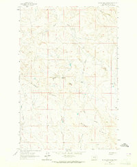
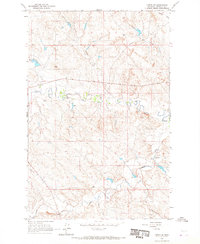
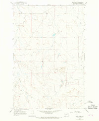
(90)- 1962 Map of Mosby, 1965 Print
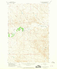
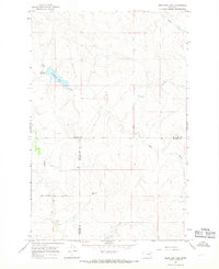
 1962 Mosby1965 Print · USGSThe Musselshell River breaks and surrounding plains of Petroleum and Garfield counties are captured here in the early 1960s. Genealogists and historians can trace the remote settlement of Mosby and water features like Shaie Reservoir or Flatwillow Creek.2 unique versions available
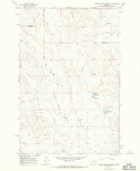
 - 1962 Map of Maxwell Ranch, 1965 Print
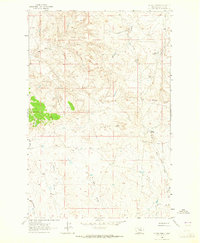
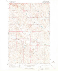
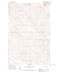
 1962 Maxwell Ranch1965 Print · USGSThe high plains of Petroleum County are documented in the early sixties as cattle ranching and resource exploration defined the land. Researchers can trace the layout of the Maxwell Ranch, find early industrial marks like a Drill Hole, and follow the Musselshell River.2 unique versions available
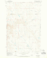
 - 1962 Map of Kincheloe Ranch, 1965 Print
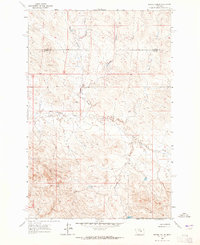
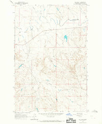
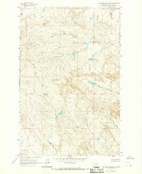
 1962 Kincheloe Ranch1965 Print · USGSThe ranchlands of Rosebud and Garfield counties are captured here in the early sixties. Researchers can trace the layout of the Kincheloe Ranch and the natural landmarks of Rattlesnake Buttes and Jacobsen Coulee that defined this Montana landscape.
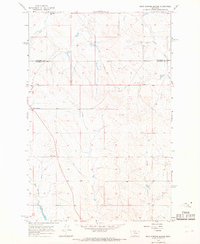
 - 1962 Map of Mosby SE, 1965 Print
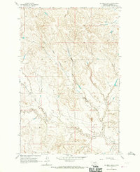
 1962 Mosby SE1965 Print · USGSThe Musselshell River country of central Montana is captured here in the early sixties, showing the river's dramatic meanders along the Rosebud County border. Genealogists and historians can trace the intricate drainages of Nineteen Coulee and Rattlesnake Creek near a prominent cross-country Pipeline.2 unique versions available
 - 1963 Map of Hill Ranch, 1965 Print
 1963 Hill Ranch1965 Print · USGSThe Montana ranchlands of Garfield County are captured here in the early sixties, showing a landscape defined by deep drainages and isolated homesteads. Researchers can trace family-named landmarks like Hill Ranch, Youderian Coulee, and Turner Coulee.2 unique versions available
 - 1963 Map of Mc Williams Springs, 1965 Print
 1963 Mc Williams Springs1965 Print · USGSGarfield County rangeland in the early sixties is characterized here by its intricate network of seasonal coulees and isolated water sources. Researchers can trace land features like Gumbo Ridge, the prominent Black Butte, and vital landmarks such as Mc Williams Springs.
 - 1963 Map of Dutton Ranch, 1965 Print
 1963 Dutton Ranch1965 Print · USGSRanching life in Garfield County comes into focus in the early sixties, showing a landscape defined by seasonal water and open range. Researchers can trace land use through Dutton Ranch and remote water sources like Mud Springs and Chalk Springs.2 unique versions available
 - 1963 Map of Regnal Coulee, 1965 Print
 1963 Regnal Coulee1965 Print · USGSRanching country on the border of Rosebud and Garfield counties comes into focus in the early sixties. Researchers can trace land use through features like Regnal Coulee, a Well, and Big Breed Creek as the area was first surveyed from the air.2 unique versions available
 - 1964 Map of Jordan
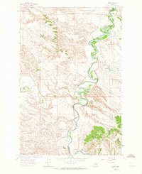
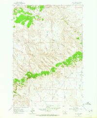
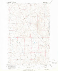
 1964 Jordan1964 Print · USGSGarfield County and the surrounding Montana prairie are captured in the mid-1950s as the Fort Peck Reservoir reshapes the northern landscape. Local historians can trace the locations of rural schoolhouses like South First Creek School and remote ranching outposts such as Brusett and Van Norman.
 - 1964 Map of Jordan SE, 1967 Print
 1964 Jordan SE1967 Print · USGSGarfield County ranching country is captured here in the mid-1960s, showing the complex drainage systems of the Montana plains. Researchers can trace the paths of Big Dry Creek and find specific local landmarks like the Gaging Station and Flowing Well.
 - 1964 Map of Jordan NE, 1967 Print
 1964 Jordan NE1967 Print · USGSEastern Montana ranching country in the 1960s is mapped here in detail, showing a landscape defined by its vital water sources. Researchers can trace the courses of White Horse Creek and Little Wolf Creek or locate remote ranching infrastructure like wells.
 - 1964 Map of Ada Creek, 1967 Print
 1964 Ada Creek1967 Print · USGSGarfield County ranching country is captured here in the mid-sixties, showing a landscape defined by the winding Big Dry Creek. Trace family roots at the Mahoney Ranch or locate the old Viall Sch and the waters of Ada Creek.
 - 1964 Map of Bateman Coulee, 1967 Print
 1964 Bateman Coulee1967 Print · USGSCentral Montana rangeland in the mid-sixties reveals a landscape defined by the intricate drainage basins of Bateman Coulee and Redbank Coulee. Researchers can trace the remote network of stock ponds and windmills along Frazier Creek and Maban Coulee.
 - 1964 Map of Black John Coulee, 1967 Print
 1964 Black John Coulee1967 Print · USGSGarfield County's prairie landscape in the mid-1960s is captured here as a network of drainages feeding into the Big Dry Creek. Researchers can trace old fence lines and property boundaries across rugged terrain marked by Black John Coulee, Russian Coulee, and Longs Fork.
 - 1964 Map of Jordan NW, 1967 Print
 1964 Jordan NW1967 Print · USGSGarfield County's high plains and drainage breaks are captured in the mid-1960s, showing a land defined by its watercourses. Genealogists and researchers can trace the rugged contours of the White Horse Divide and the paths of Hogs Back Creek and Frazier Creek.
 - 1964 Map of Bateman Coulee NE, 1967 Print
 1964 Bateman Coulee NE1967 Print · USGSGarfield County ranching lands are captured here in the mid-1960s, showing a landscape shaped by water management and isolated township grids. You can trace seasonal drainages like Woody Creek and locate vital upland water sources such as Spring Coulee and several named spillways.
 - 1964 Map of Jordan, 1967 Print
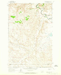
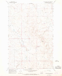
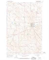 1964 Jordan1967 Print · USGSJordan in the mid-1960s serves as a hub for Garfield County ranching life near the banks of Big Dry Creek. Researchers can trace town development through the County Fairground, Pioneer Cem, and the grid of residential streets as they stood decades ago.2 unique versions available
 - 1965 Map of Black Hills, 1968 Print
 1965 Black Hills1968 Print · USGSGarfield County in the mid-1960s is shown here as a landscape of complex drainages and high plains topography. Researchers can trace the winding paths of Little Dry Creek or explore the landform patterns around the Black Hills and Knudson Coulee.
 - 1965 Map of Needle Butte Reservoir, 1968 Print
 1965 Needle Butte Reservoir1968 Print · USGSRangeland along the border of Rosebud and Garfield Counties comes into focus during the mid-1960s. Genealogists and historians can locate a lonely Grave or trace water sources like Le Poidevin Dam and Needle Butte Reservoir.
 - 1965 Map of Needle Butte, 1968 Print
 1965 Needle Butte1968 Print · USGSEastern Montana rangeland on the border of Garfield and Rosebud counties is captured here in the mid-sixties. Researchers can trace land use through the network of fence lines and find water sources like Sunday Creek Reservoir, Sweetser Spring, and Needle Butte.2 unique versions available
 - 1965 Map of Rock Springs School, 1968 Print
 1965 Rock Springs School1968 Print · USGSThe Montana high plains of Rosebud and Garfield counties are captured in the mid-sixties, showcasing a landscape defined by ranching and rural schools. Genealogists and local historians can locate the Rock Springs Sch, Southerland Sch, and landmarks like Hagler's Dam.
 - 1965 Map of Hedstrom Lake, 1968 Print
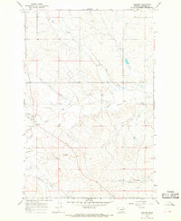
 1965 Hedstrom Lake1968 Print · USGSEastern Montana's high plains are documented here in the mid-sixties, capturing the remote intersection of McCone, Prairie, and Garfield counties. Researchers can trace the drainage of Skull Creek and locate family landmarks like Red Butte or the small Cem near the northern border.
 - 1965 Map of Little Chalk Butte, 1968 Print
 1965 Little Chalk Butte1968 Print · USGSGarfield County ranching country is documented here in the mid-1960s, showing the vast drainage networks of the Montana high plains. Genealogists and researchers can locate landmarks like the East Uall Sch, Little Chalk Butte, and Mud Springs.
 - 1965 Map of Cohagen, 1968 Print
 1965 Cohagen1968 Print · USGSGarfield County in the mid-1960s reveals a quiet ranching landscape centered on the settlement of Cohagen. Researchers can trace old family cemetery sites like Cohagen Cem or locate the rural Landing Strip and Phillips Buttes.2 unique versions available
 - 1965 Map of Kirby Ranch, 1968 Print
 1965 Kirby Ranch1968 Print · USGSEastern Montana ranchlands are documented in the mid-1960s, showing the intersection of remote cattle country and the winding breaks of Second Creek. Researchers can trace old fence lines and water sources around the Kirby Ranch and Lynch Coulee.
Showing maps 1-25 of 90
Top cities of Garfield County
Frequently asked questions
- What are the different types of historical maps available for Garfield County?
- What is the oldest map of Garfield County?
- Where can I purchase historical maps of Garfield County for my home or office?
- Where can I download high-res historical maps of Garfield County?
- Are there historical topographic maps available for Garfield County?
- Is there historical aerial imagery available for Garfield County?
- Where are historical maps of Garfield County sourced from?