Old Maps of Garfield County, Montana for Academic Research
Study the evolution of Garfield County with 140 high-resolution historic maps. Whether you're teaching, researching, or modeling changes in land use, these maps provide essential visual documentation of urban, environmental, and geographic change.
- Analyze long-term change: Track patterns in development, transportation, and natural features.
- Ideal for environmental or urban studies: Support academic projects with primary historical map data.
- Use in the classroom or lab: Educators and researchers rely on these maps to bring historical context to life.
These maps are a powerful tool for teaching, research, and visualizing how Garfield County has changed over the decades.
Garfield County, MT maps
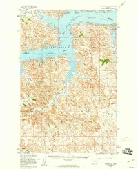
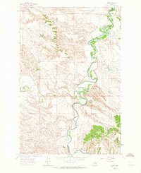
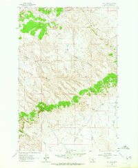
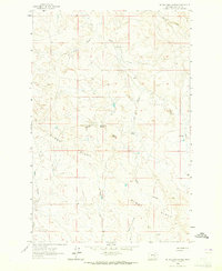
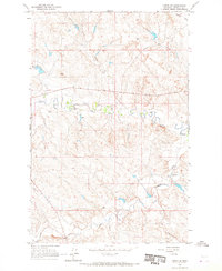
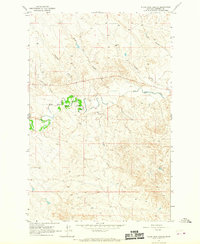
(140)- 1954 Map of Jordan, 1965 Print
 1954 Jordan1965 Print · USGSCovers Garfield County, including Jordan, Dryer Place, and other nearby areas2 unique versions available
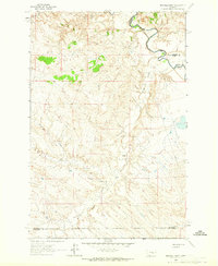
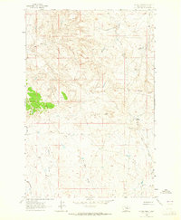
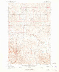
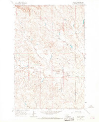
 - 1954 Map of Forsyth, 1966 Print
 1954 Forsyth1966 Print · USGSCovers Garfield County, including Forsyth, Hysham, and other nearby areas3 unique versions available
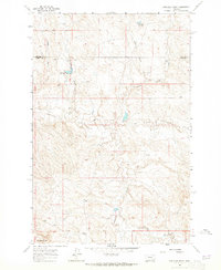
 - 1956 Map of Jordan
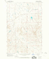
 1956 Jordan1956 Print · USGSCovers Garfield County, including Jordan, Dryer Place, and other nearby areas
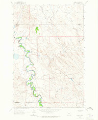
 - 1957 Map of Forsyth
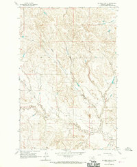
 1957 Forsyth1957 Print · USGSCovers Garfield County, including Forsyth, Hysham, and other nearby areas
 - 1958 Map of Jordan
 1958 Jordan1958 Print · USGSCovers Garfield County, including Jordan, Dryer Place, and other nearby areas
 - 1958 Map of Forsyth
 1958 Forsyth1958 Print · USGSCovers Garfield County, including Forsyth, Hysham, and other nearby areas
 - 1958 Map of Maloney Hill, 1960 Print
 1958 Maloney Hill1960 Print · USGSCovers Garfield County, including Valley County, United States, and other nearby areas2 unique versions available
 - 1958 Map of Sage Creek Point, 1960 Print
 1958 Sage Creek Point1960 Print · USGSCovers Garfield County, including Valley County, United States, and other nearby areas2 unique versions available
 - 1958 Map of Seventh Point Buttes, 1960 Print
 1958 Seventh Point Buttes1960 Print · USGSCovers Garfield County, including Valley County, United States, and other nearby areas2 unique versions available
 - 1958 Map of Skunk Coulee, 1960 Print
 1958 Skunk Coulee1960 Print · USGSCovers Garfield County, including Valley County, United States, and other nearby areas
 - 1962 Map of Mosby, 1965 Print
 1962 Mosby1965 Print · USGSCovers Garfield County, including Mosby, Petroleum County, and other nearby areas2 unique versions available
 - 1962 Map of Maxwell Ranch, 1965 Print
 1962 Maxwell Ranch1965 Print · USGSCovers Garfield County, including Rosebud County, Petroleum County, and other nearby areas2 unique versions available
 - 1962 Map of Kincheloe Ranch, 1965 Print
 1962 Kincheloe Ranch1965 Print · USGSCovers Garfield County, including Rosebud County, United States, and other nearby areas
 - 1962 Map of Mosby SE, 1965 Print
 1962 Mosby SE1965 Print · USGSCovers Garfield County, including Rosebud County, Petroleum County, and other nearby areas2 unique versions available
 - 1963 Map of Hill Ranch, 1965 Print
 1963 Hill Ranch1965 Print · USGSCovers Garfield County, including United States, Montana, and other nearby areas2 unique versions available
 - 1963 Map of Mc Williams Springs, 1965 Print
 1963 Mc Williams Springs1965 Print · USGSCovers Garfield County, including United States, Montana, and other nearby areas
 - 1963 Map of Dutton Ranch, 1965 Print
 1963 Dutton Ranch1965 Print · USGSCovers Garfield County, including United States, Montana, and other nearby areas2 unique versions available
 - 1963 Map of Regnal Coulee, 1965 Print
 1963 Regnal Coulee1965 Print · USGSCovers Garfield County, including Rosebud County, United States, and other nearby areas2 unique versions available
 - 1964 Map of Jordan
 1964 Jordan1964 Print · USGSCovers Garfield County, including Jordan, Dryer Place, and other nearby areas
 - 1964 Map of Jordan SE, 1967 Print
 1964 Jordan SE1967 Print · USGSCovers Garfield County, including United States, Montana, and other nearby areas
 - 1964 Map of Jordan NE, 1967 Print
 1964 Jordan NE1967 Print · USGSCovers Garfield County, including United States, Montana, and other nearby areas
 - 1964 Map of Ada Creek, 1967 Print
 1964 Ada Creek1967 Print · USGSCovers Garfield County, including United States, Montana, and other nearby areas
 - 1964 Map of Bateman Coulee, 1967 Print
 1964 Bateman Coulee1967 Print · USGSCovers Garfield County, including United States, Montana, and other nearby areas
 - 1964 Map of Black John Coulee, 1967 Print
 1964 Black John Coulee1967 Print · USGSCovers Garfield County, including United States, Montana, and other nearby areas
 - 1964 Map of Jordan NW, 1967 Print
 1964 Jordan NW1967 Print · USGSCovers Garfield County, including United States, Montana, and other nearby areas
Showing maps 1-25 of 140
Top cities of Garfield County
Frequently asked questions
- What are the different types of historical maps available for Garfield County?
- What is the oldest map of Garfield County?
- Where can I purchase historical maps of Garfield County for my home or office?
- Where can I download high-res historical maps of Garfield County?
- Are there historical topographic maps available for Garfield County?
- Is there historical aerial imagery available for Garfield County?
- Where are historical maps of Garfield County sourced from?