2000s (21st Century) Maps of Jefferson County, Montana
Explore 248 historic maps of Jefferson County from the 2000s (21st Century). These maps offer a rare glimpse into what life looked like during the 2000s — showing old roads, neighborhoods, homes, and landmarks that have changed or disappeared over time.
Whether you're researching your family's past, planning a metal detecting trip, or studying how Jefferson County's landscape evolved across the 2000s, these high-resolution maps are a powerful tool for exploring the history of this region.
- Focus on a specific era: All maps on this page are from the 2000s, giving you a focused view of this time period.
- See what’s changed: Compare century-old streets, trails, and buildings to today's modern landscape using overlays and satellite layers.
- Research with precision: Use these maps for genealogy, historical research, land use analysis, or educational projects.
- View, download, or print: Maps are fully viewable online in high resolution, and can be downloaded or printed for your own records.
Start exploring Jefferson County's history through authentic maps from the 2000s. This is your window into the past.
Jefferson County, MT maps
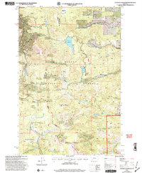
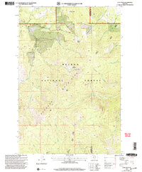
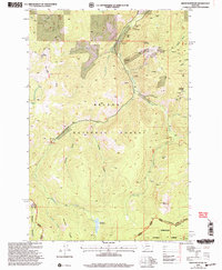
(248)- 2001 Map of Devils Fence, 2004 Print
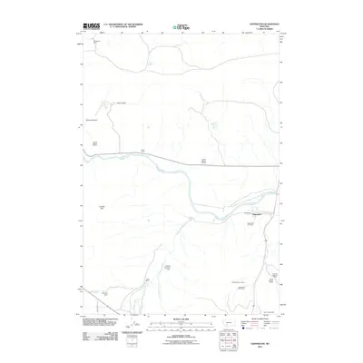
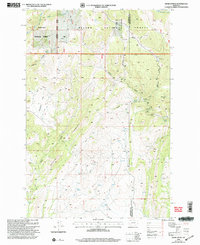 2001 Devils Fence2004 Print · USGSThe high Divide country between Jefferson and Broadwater counties is captured here at the turn of the millennium, revealing a rugged working landscape. Researchers can trace old mountain roads to Doughty Ranch, Kimpton Cow Camp, and numerous prospects.
 - 2001 Map of Jefferson City, 2004 Print
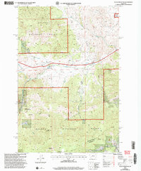
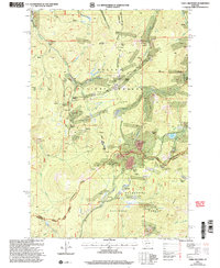
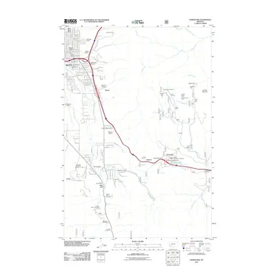
 2001 Jefferson City2004 Print · USGSJefferson City and the surrounding Helena National Forest are shown at the start of the new millennium as the historic mining industry left its mark on the gulches. Researchers can trace the legacy of local extraction at the Free Coinage Mine or the Gregory Mine, and locate the local Cem near Jefferson City.
 - 2001 Map of Clancy, 2004 Print
 2001 Clancy2004 Print · USGSJefferson County mining country is detailed in this turn-of-the-century survey of the rugged corridor south of Helena. Researchers can trace the layout of Clancy, the historic Alhambra Hot Springs, and a dense network of high-altitude Mine Shafts.
 - 2001 Map of East Helena, 2004 Print
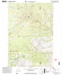
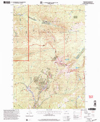
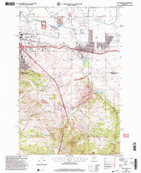 2001 East Helena2004 Print · USGSHelena and its eastern suburbs are shown in great detail at the turn of the millennium as the regional economy balanced aviation, rail, and mining. Researchers can trace land use from the Helena Regional Airport to the McClellan Creek Quarry and the Rodeo Ground.
 - 2001 Map of Chessman Reservoir, 2004 Print
 2001 Chessman Reservoir2004 Print · USGSThe mining landscape near Rimini is documented here at the start of the new millennium. Metal detectorists and local historians can trace decades of extraction through the Ida May Mine, dozens of Prospects, and the high-country waters of Chessman Reservoir.
 - 2001 Map of Black Mountain, 2004 Print
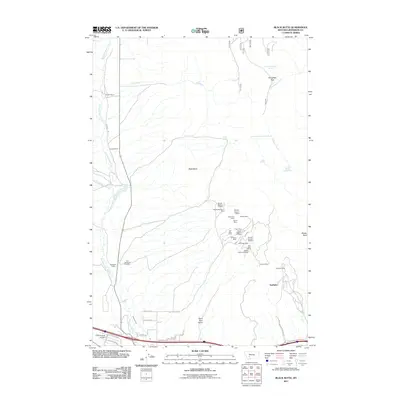
 2001 Black Mountain2004 Print · USGSThe peaks and gulches west of Helena appear here in the early 2000s, showing a landscape shaped by mining and essential water infrastructure. Researchers can trace the Tenmile Environmental Educational Trail or locate several Prospects near Blue Cloud Creek.
 - 2001 Map of Crow Creek Falls, 2004 Print
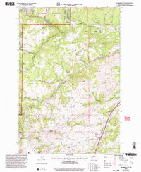
 2001 Crow Creek Falls2004 Print · USGSThe Elkhorn Mountains of Montana are revealed in the early 2000s, showing a high-country landscape shaped by mining and national forest management. Researchers can locate remote sites like the Callahan Mine, Crow Creek Falls, and South Fork Lakes.
 - 2001 Map of Helena, 2004 Print
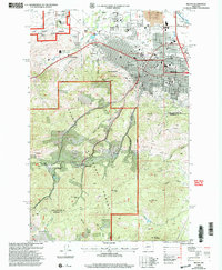 2001 Helena2004 Print · USGSMontana's capital city and its surrounding mining gulches are captured here at the turn of the millennium. Local researchers can trace the development of Helena neighborhoods alongside historical sites like the Brooklyn Bridge Mine, Unionville, and the State Capitol.
 - 2001 Map of Casey Peak, 2004 Print
 2001 Casey Peak2004 Print · USGSThe high Elkhorn mountains are captured here at the start of the 21st century, showing a landscape of steep peaks and remote forest parks. Hikers and historians can trace the headwaters of Mc Clellan Creek and locate historic mining sites like the Mine Shaft Prospect.
 - 2001 Map of Three Brothers, 2004 Print
 2001 Three Brothers2004 Print · USGSThe high Montana mining country near the turn of the millennium shows a landscape defined by its timber and mineral resources. Local researchers can locate early mining camps and workings including Hub Camp, Booth, and the Monte Cristo Mine along the Continental Divide.
 - 2001 Map of Louisville, 2004 Print
 2001 Louisville2004 Print · USGSIn the hills east of Helena at the start of the millennium, this map shows a rural landscape where industry and agriculture meet. Genealogists and researchers can trace the vicinity of Louisville and Clasoil, find the Spokane Creek School, and locate the Economy Mine.
 - 2001 Map of Elkhorn, 2004 Print
 2001 Elkhorn2004 Print · USGSThe Elkhorn Mountains of Montana are shown here at the turn of the century as the landscape transitioned into modern forest management. Historians can trace the legacy of mineral extraction through labels for the Louise Mine, the local Cem, and the historic route over Radersburg Pass.
 - 2001 Map of Bison Mountain, 2004 Print
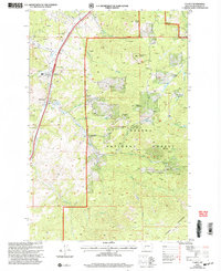
 2001 Bison Mountain2004 Print · USGSThe high Montana backcountry of Powell and Jefferson Counties is revealed here at the start of the millennium, showing a landscape defined by historic mining and forest service outposts. Genealogists and researchers can trace access to remote claims like Charter Oak Mines and Golden Anchor Mine, or locate landmarks such as Kading and the Blackfoot Meadows.
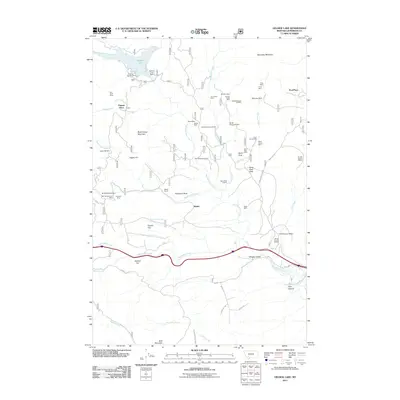
 - 2011 Map of Delmoe Lake, 2011 Print
 2011 Delmoe Lake2011 Print · USGSCovers Jefferson County, including Paul Place, United States, and other nearby areas
 - 2011 Map of Grace, 2011 Print
 2011 Grace2011 Print · USGSCovers Jefferson County, including Butte, Cedric, and other nearby areas
 - 2011 Map of Dry Mountain, 2011 Print
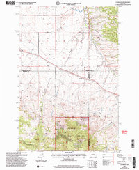
 2011 Dry Mountain2011 Print · USGSCovers Jefferson County, including Pipestone Hot Springs, Tippet Place, and other nearby areas
 - 2011 Map of Black Butte, 2011 Print
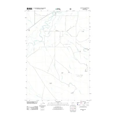
 2011 Black Butte2011 Print · USGSCovers Jefferson County, including Whitehall, Sunlight, and other nearby areas
 - 2011 Map of Waterloo, 2011 Print
 2011 Waterloo2011 Print · USGSCovers Jefferson County, including Butte, Waterloo, and other nearby areas
 - 2011 Map of Homestake, 2011 Print
 2011 Homestake2011 Print · USGSCovers Jefferson County, including Butte, Homestake, and other nearby areas
 - 2011 Map of Pipestone Pass, 2011 Print
 2011 Pipestone Pass2011 Print · USGSCovers Jefferson County, including Butte, Donald, and other nearby areas
 - 2011 Map of Vendome, 2011 Print
 2011 Vendome2011 Print · USGSCovers Jefferson County, including Butte, Vendome, and other nearby areas
 - 2011 Map of Jefferson Island, 2011 Print
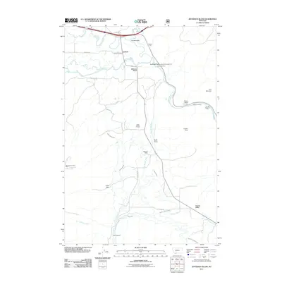 2011 Jefferson Island2011 Print · USGSCovers Jefferson County, including Cardwell, Jefferson Island, and other nearby areas
 - 2011 Map of Willow Creek, 2011 Print
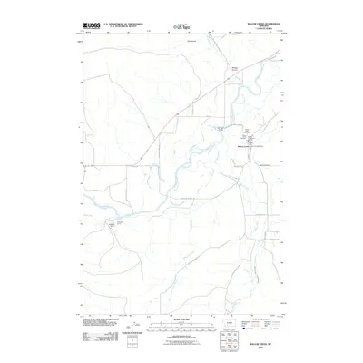 2011 Willow Creek2011 Print · USGSCovers Jefferson County, including Willow Creek, Gallatin County, and other nearby areas
 - 2011 Map of Negro Hollow, 2011 Print
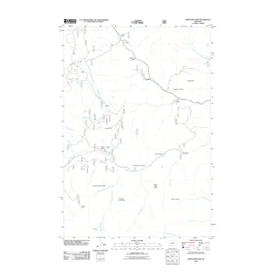
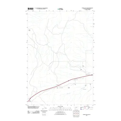 2011 Negro Hollow2011 Print · USGSCovers Jefferson County, including United States, Montana, and other nearby areas
 - 2011 Map of Sappington, 2011 Print
 2011 Sappington2011 Print · USGSCovers Jefferson County, including Sappington, Gallatin County, and other nearby areas
Showing maps 1-25 of 248
Top cities of Jefferson County
- Montana City historical maps
- Clancy historical maps
- Boulder historical maps
- Whitehall historical maps
- Cardwell historical maps
Frequently asked questions
- What are the different types of historical maps available for Jefferson County?
- What is the oldest map of Jefferson County?
- Where can I purchase historical maps of Jefferson County for my home or office?
- Where can I download high-res historical maps of Jefferson County?
- Are there historical topographic maps available for Jefferson County?
- Is there historical aerial imagery available for Jefferson County?
- Where are historical maps of Jefferson County sourced from?