2020s Maps of Jefferson County, Montana
Explore 94 historic maps of Jefferson County from the 2020s. These maps offer a rare glimpse into what life looked like during the 2020s — showing old roads, neighborhoods, homes, and landmarks that have changed or disappeared over time.
Whether you're researching your family's past, planning a metal detecting trip, or studying how Jefferson County's landscape evolved across the 2020s, these high-resolution maps are a powerful tool for exploring the history of this region.
- Focus on a specific era: All maps on this page are from the 2020s, giving you a focused view of this time period.
- See what’s changed: Compare century-old streets, trails, and buildings to today's modern landscape using overlays and satellite layers.
- Research with precision: Use these maps for genealogy, historical research, land use analysis, or educational projects.
- View, download, or print: Maps are fully viewable online in high resolution, and can be downloaded or printed for your own records.
Start exploring Jefferson County's history through authentic maps from the 2020s. This is your window into the past.
Jefferson County, MT maps
(94)- 2020 Map of Vendome, 2020 Print
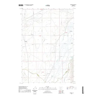 2020 Vendome2020 Print · USGSSouthwestern Montana's ranching and river lands are captured here in the early twenty-first century, showing the intersection of three counties. You can trace historic travel routes along Stage Coach Rd, locate the Fish Creek Cem, and explore the intricate irrigation systems of the Jefferson Canal.
 - 2020 Map of Pipestone Pass, 2020 Print
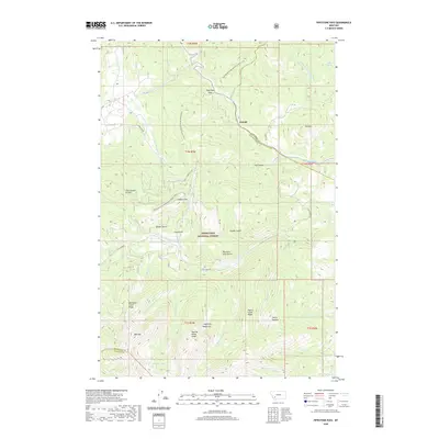 2020 Pipestone Pass2020 Print · USGSPipestone Pass and the Highland Mountains are captured here in the 2020s, showcasing the intersection of the Continental Divide and Deerlodge National Forest. Hikers and historians can trace the Continental Divide National Scenic Trail past Emerald Lake and the settlement at Donald.
 - 2020 Map of Waterloo, 2020 Print
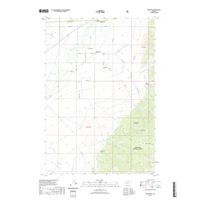 2020 Waterloo2020 Print · USGSThe Jefferson River valley meets the Tobacco Root Mountains in this recent Montana survey. Genealogists and local historians can trace the irrigation network of Parrot Ditch and find landmarks like Parsons Bridge and the Old Stage Rd.
 - 2020 Map of Dry Mountain, 2020 Print
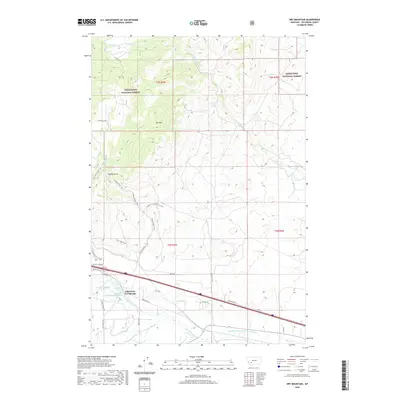 2020 Dry Mountain2020 Print · USGSThis Jefferson County landscape captures the intersection of geothermal activity and high-mountain wilderness during the early twenty-first century. Researchers can trace the sophisticated water engineering of Pipestone Ditch or locate the unique geological site of Ringing Rocks.
 - 2020 Map of Black Butte, 2020 Print
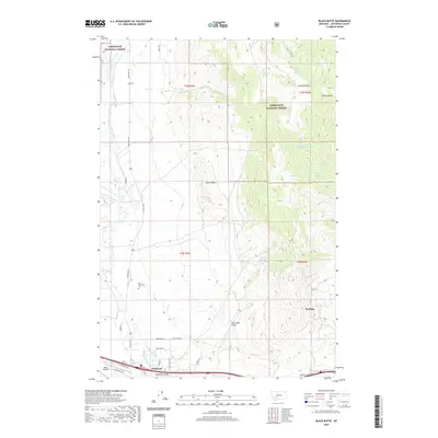 2020 Black Butte2020 Print · USGSJefferson County in the 2020s shows a landscape of mountain valley ranching and national forest foothills centered around the town of Whitehall. Genealogists and researchers can trace local landmarks like the Old Whitehall Cem, the Jefco Skypark, and the high peak of Black Butte.
 - 2020 Map of Whitehall, 2020 Print
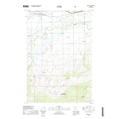 2020 Whitehall2020 Print · USGSWhitehall and the Jefferson River valley are shown here in recent years, documenting the intersection of mountain geography and river-bottom settlement. Researchers can trace land use from the New Mayflower Mine to rural sites like Renova and Piedmont.
 - 2020 Map of Grace, 2020 Print
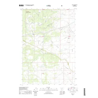 2020 Grace2020 Print · USGSNear the border of Silver Bow and Jefferson counties in the 2020s, this area showcases the intersection of public forest land and mountain settlements. Researchers can trace the drainage of Fish Cr and locate specific sites like Grace, Cedric, and Rader Creek.
 - 2020 Map of Elk Park Pass, 2020 Print
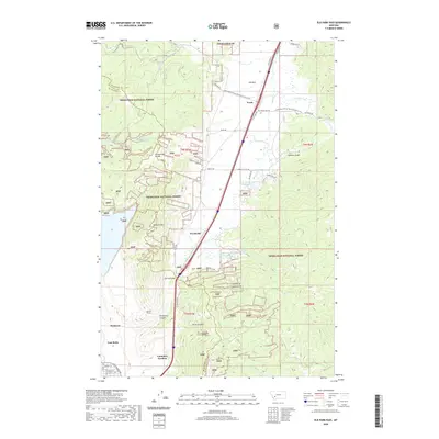 2020 Elk Park Pass2020 Print · USGSThe high Divide north of Butte comes into focus in the early twenty-first century, showing the transition from industrial mining outskirts to mountain forest. Researchers can trace the path of the Monitor Tunnel or locate the site of the historic Columbia Gardens.
 - 2020 Map of Louisville, 2020 Print
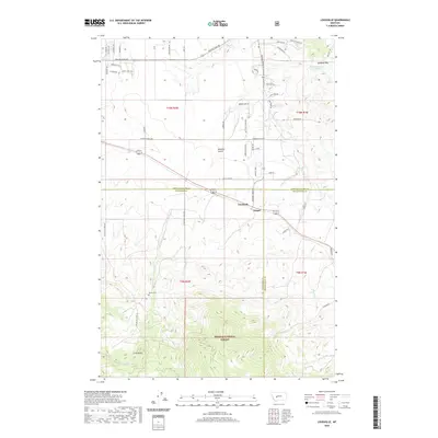 2020 Louisville2020 Print · USGSJefferson County ranchlands and the slopes of the Spokane Hills meet in this modern survey of the Louisville area. Genealogists and historians can trace family roots at Turner Cemetery and follow the routes through Mitchell Gulch and Clasoil.
 - 2020 Map of Clancy, 2020 Print
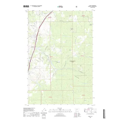 2020 Clancy2020 Print · USGSJefferson County's mountain corridor comes to life in this contemporary survey of the Clancy and Alhambra area. Researchers can trace the path of the BNSF Railway alongside Prickly Pear Cr or locate high-altitude landmarks like Lava Mtn and Elk Park.
 - 2020 Map of Willow Springs, 2020 Print
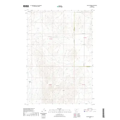 2020 Willow Springs2020 Print · USGSJefferson and Broadwater counties are mapped here in the early twenty-first century, showing the high-elevation divide between mountain peaks and river valleys. Trace the routes of Old Boulder Rd and Salt Gulch Rd past landmarks like Meyer Spring and Cooney Park.
 - 2020 Map of Dunn Creek, 2020 Print
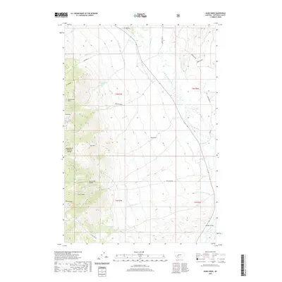 2020 Dunn Creek2020 Print · USGSJefferson County ranchlands and the Boulder River valley are captured here in the contemporary era. Genealogists and local historians can trace the irrigation network of Casey Ditch and locate the Boulder Valley Cem near the foothills of Bull Mtn.
 - 2020 Map of Elkhorn, 2020 Print
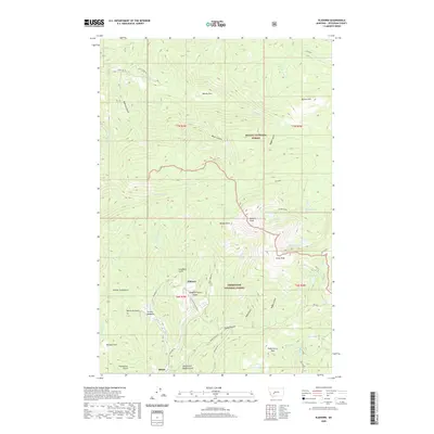 2020 Elkhorn2020 Print · USGSJefferson County’s mountain mining and timber districts are captured here in the contemporary era. Local historians and genealogists can trace the roads around Elkhorn and locate historic landmarks like the Iron Mine and Turnley Meadows.
 - 2020 Map of Devils Fence, 2020 Print
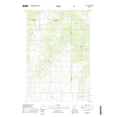 2020 Devils Fence2020 Print · USGSJefferson County's high ridges and national forest boundaries are captured here during the early twenty-first century. Genealogists and researchers can trace local landmarks like Devils Fence, Sagebrush Park, and the network of namesake springs including Boud Spring.
 - 2020 Map of Bison Canyon, 2020 Print
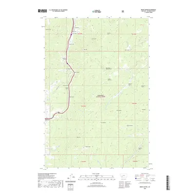 2020 Bison Canyon2020 Print · USGSElk Park and the surrounding mountain drainages of Jefferson County are captured here in the contemporary era. Researchers can trace the high-country landscape from Sullivan Mtn down through Bison Canyon to the meadows at Dunks Meadow and Moose Meadows.
 - 2020 Map of Crow Creek Falls, 2020 Print
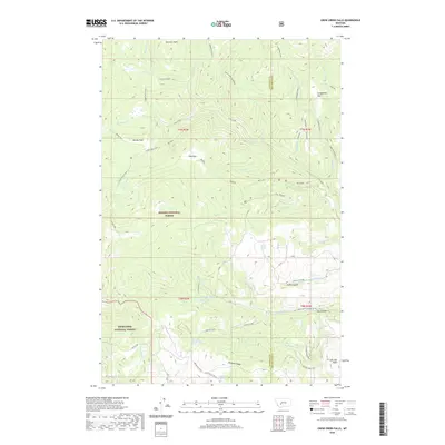 2020 Crow Creek Falls2020 Print · USGSHigh in the Montana backcountry during the early twenty-first century, this map documents the remote drainage basins and high parks of the Elkhorn Mountains. Outdoor enthusiasts and researchers can trace the routes to Crow Creek Falls, Leslie Lake, and the high meadows of Airplane Park.
 - 2020 Map of Chessman Reservoir, 2020 Print
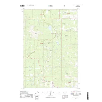 2020 Chessman Reservoir2020 Print · USGSRimini and the surrounding high country are captured here in 2020, where the Continental Divide separates vast forest lands. Researchers can trace the alpine drainage systems and mountain features like Chessman Reservoir, Park Lake, and the high Occidental Plateau.
 - 2020 Map of Basin, 2020 Print
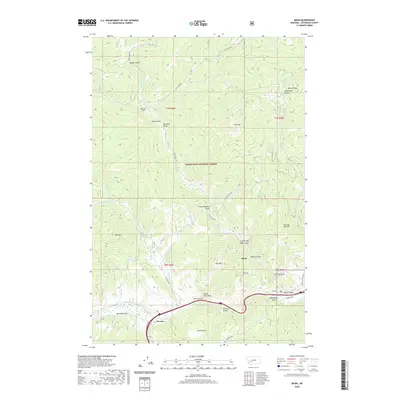 2020 Basin2020 Print · USGSJefferson County’s mountain terrain is captured in detail as it appeared in 2020, centered on the community of Basin. Researchers can trace the course of the Boulder River and find local landmarks like Indian Head Rock, Bernice, and the remote Klies Air Strip.
 - 2020 Map of Bison Mountain, 2020 Print
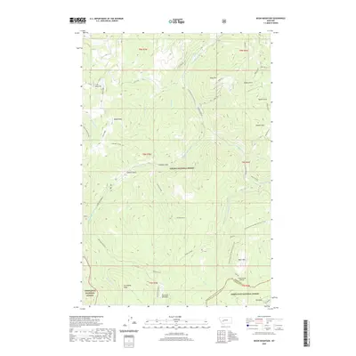 2020 Bison Mountain2020 Print · USGSJefferson and Powell counties meet along the crest of the Continental Divide in this recent topographic survey. Researchers can trace high-elevation landmarks from Irish Mine Hill to the remote reaches of Blackfoot Meadows and Treasure Mtn.
 - 2020 Map of Mount Thompson, 2020 Print
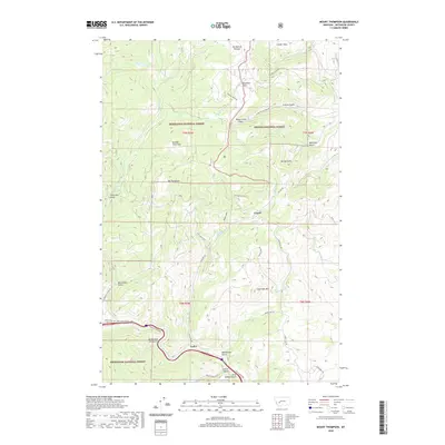 2020 Mount Thompson2020 Print · USGSJefferson County’s high country is captured here during the recent era of forest management and rural expansion. Trace the intersections of mountain roads and mineral-rich drainages like Galena Gulch and the historic settlement at Comet.
 - 2020 Map of Black Mountain, 2020 Print
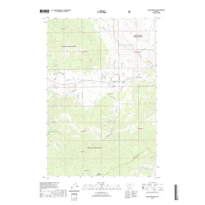 2020 Black Mountain2020 Print · USGSThe mountain landscape west of Helena is revealed in this contemporary survey, showcasing a mix of military training grounds and forest lands. Genealogists and hikers can trace old routes through Nelson Gulch, Colorado Gulch, and the high reaches of Black Mtn.
 - 2020 Map of Lockhart Meadows, 2020 Print
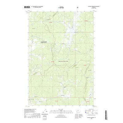 2020 Lockhart Meadows2020 Print · USGSThe high country of the Continental Divide in the early twenty-first century is captured here at the junction of three Montana counties. Hikers and historians can trace the Continental Divide National Scenic Trail as it passes Champion Pass, Lockhart Meadows, and Gospel Hill.
 - 2020 Map of Jefferson City, 2020 Print
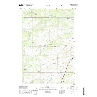 2020 Jefferson City2020 Print · USGSJefferson County's mining and ranching heritage is visible in this recent survey of the corridor between Jefferson City and Clancy. Genealogists and historians can trace family-named landmarks like McCauley Flats and remote drainage points like Lump Gulch.
 - 2020 Map of Butte North, 2020 Print
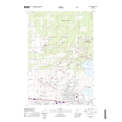 2020 Butte North2020 Print · USGSThe copper-mining legacy of the northern Rockies is on display in this contemporary look at the Butte area. Local historians can trace the streets of historic mining camps like Walkerville and Meaderville or locate landmarks like the Butte-Silver Bow County Courthouse.
 - 2020 Map of Wickes, 2020 Print
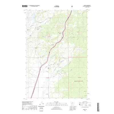 2020 Wickes2020 Print · USGSJefferson County’s mountain mining corridors are captured here in the contemporary era, showing the intersection of industrial history and protected lands. Trace the legacy of extraction and transport through Wickes Tunnel, the old settlement at Amazon, and the winding Old Railroad Rd.
Showing maps 1-25 of 94
Top cities of Jefferson County
- Montana City historical maps
- Clancy historical maps
- Boulder historical maps
- Whitehall historical maps
- Cardwell historical maps
Frequently asked questions
- What are the different types of historical maps available for Jefferson County?
- What is the oldest map of Jefferson County?
- Where can I purchase historical maps of Jefferson County for my home or office?
- Where can I download high-res historical maps of Jefferson County?
- Are there historical topographic maps available for Jefferson County?
- Is there historical aerial imagery available for Jefferson County?
- Where are historical maps of Jefferson County sourced from?