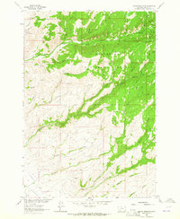
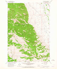
1960s Maps of Madison County, Montana
Explore 39 historic maps of Madison County from the 1960s. These maps offer a rare glimpse into what life looked like during the 1960s — showing old roads, neighborhoods, homes, and landmarks that have changed or disappeared over time.
Whether you're researching your family's past, planning a metal detecting trip, or studying how Madison County's landscape evolved across the 1960s, these high-resolution maps are a powerful tool for exploring the history of this region.
- Focus on a specific era: All maps on this page are from the 1960s, giving you a focused view of this time period.
- See what’s changed: Compare century-old streets, trails, and buildings to today's modern landscape using overlays and satellite layers.
- Research with precision: Use these maps for genealogy, historical research, land use analysis, or educational projects.
- View, download, or print: Maps are fully viewable online in high resolution, and can be downloaded or printed for your own records.
Start exploring Madison County's history through authentic maps from the 1960s. This is your window into the past.
Madison County, MT maps
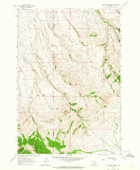
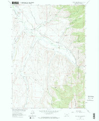
(39)- 1960 Map of Ashton
 1960 Ashton1960 Print · USGSThe Idaho-Montana-Wyoming borderlands at the dawn of the sixties show a landscape defined by the Continental Divide and early wilderness tourism. Genealogists and historians can trace rail-stop settlements like Trude Siding, old outposts like Warm River, and early lodging at Snowball Inn.
 - 1960 Map of Willow Creek, 1962 Print
 1960 Willow Creek1962 Print · USGSThe rural borderlands between Rosebud and Treasure counties appear in the early sixties as a landscape defined by seasonal waters and range roads. Genealogists and local historians can trace the paths of Willow Creek, Muggins Creek, and the curiously named Bone Coulee.
 - 1960 Map of Glen, 1963 Print
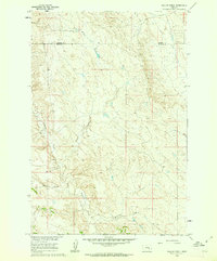
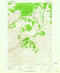
 1960 Glen1963 Print · USGSThe Big Hole River valley comes alive in the early sixties, showing a landscape defined by ranching and the Union Pacific rail line. Genealogists can locate family-named sites like the Haining Cem, Mantle Ranch, and rural schoolhouses including Reeble Sch.4 unique versions available
 - 1960 Map of Block Mountain, 1963 Print
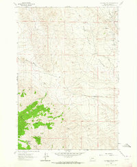
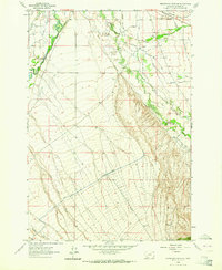
 1960 Block Mountain1963 Print · USGSThe Big Hole River valley at the start of the 1960s reveals a rugged landscape of mining and irrigation. Genealogists and historians can trace family-named water works like the Fred Bryan Ditch and industrial sites like the Sodak Mine.4 unique versions available
 - 1960 Map of Twin Bridges, 1963 Print
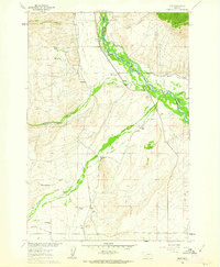
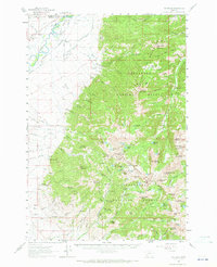
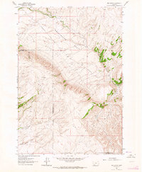
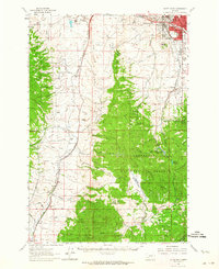
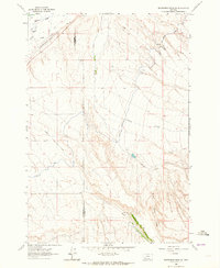
 1960 Twin Bridges1963 Print · USGSMadison County in the early sixties shows a landscape defined by the meeting of four major rivers and the legacy of the mining boom. Genealogists and historians can trace family-named sites like Pogliano Ranch, the Pageville Sch, and dozens of lode mines including the Shamrock Mine.3 unique versions available
 - 1960 Map of Waterloo, 1964 Print
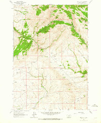
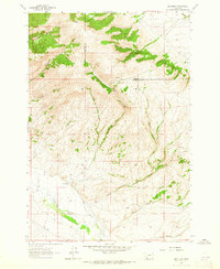
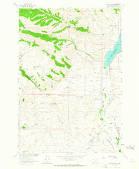
 1960 Waterloo1964 Print · USGSMadison and Silver Bow counties in the early sixties reveal a landscape shaped by high-country ranching and mining. Researchers can trace the water rights and early settlements of the Jefferson valley, including Waterloo, Mammoth, and the Silver Bow Ranch.2 unique versions available
 - 1961 Map of Mine Gulch, 1964 Print
 1961 Mine Gulch1964 Print · USGSThe Ruby Range in the early sixties reveals a landscape shaped by remote high-country ranching and mid-century industrial mining. Researchers can trace the footprints of the Tri State Strip Mine, find numerous springs, and follow the drainages of Mine Gulch and Sweetwater Creek.
 - 1961 Map of Melrose, 1964 Print
 1961 Melrose1964 Print · USGSSilver Bow County during the early sixties centers on the railroad-dependent settlement of Melrose and its rugged mining outskirts. Researchers can trace the industrial footprint of the Old Glory Mine or follow water rights along the McCauley Ditch.4 unique versions available
 - 1961 Map of Earls Gulch, 1964 Print
 1961 Earls Gulch1964 Print · USGSThe ranching and mining landscapes of Beaverhead and Madison Counties are captured here in the early sixties as the river-and-rail economy thrived. Genealogists can locate family holdings like Kalsta Ranch and McCullough Ranch or trace industrial sites like the Tungsten Mill.5 unique versions available
 - 1961 Map of Christensen Ranch, 1964 Print
 1961 Christensen Ranch1964 Print · USGSMadison and Beaverhead counties are captured here in the early sixties, showing a landscape shaped by high-altitude ranching. Genealogists and historians can trace isolated family outposts like Sorensen Ranch, Hoffman Place, and The Iron Mine.2 unique versions available
 - 1961 Map of Wickiup Creek, 1964 Print
 1961 Wickiup Creek1964 Print · USGSThe Silver Bow and Madison County line was a landscape of high-altitude mineral exploration in the early sixties. Researchers can trace historic extraction efforts through numerous Mines and Prospects near King and Queen Hill and Moffet Mountain.2 unique versions available
 - 1961 Map of Red Canyon, 1964 Print
 1961 Red Canyon1964 Print · USGSMadison and Beaverhead counties meet in this high-country basin during the early sixties, illustrating a landscape of isolated ranching and water rights. Genealogists and historians can trace the remote Ball Ranch and essential water sources like Virginia Springs and Sweetwater Creek.2 unique versions available
 - 1961 Map of Nez Perce Hollow, 1964 Print
 1961 Nez Perce Hollow1964 Print · USGSThe mining district around Rochester was still heavily marked by its industrial heritage in the early sixties. Researchers can trace numerous historic claims and workings like the Watseca Mine, Belcher Mine, and Shoemaker Mine.
 - 1961 Map of Butte South, 1964 Print
 1961 Butte South1964 Print · USGSThe industrial outskirts of Butte meet the high timber of the Continental Divide in the early 1960s. Genealogists can locate several major cemeteries like Holy Cross Cem and Mountain View Cem, while researchers can trace rail lines to Feeley and the old Moose Town (Site).2 unique versions available
 - 1961 Map of Beaverhead Rock SE, 1964 Print
 1961 Beaverhead Rock SE1964 Print · USGSThe high country of Madison County is captured in the early sixties as the Ruby Range meets the valley floor. Researchers can locate early mineral Prospects and trace the remote path of the Jeep Trail through Spring Canyon.
 - 1961 Map of Elk Gulch, 1965 Print
 1961 Elk Gulch1965 Print · USGSThe high rangelands of the Beaverhead and Madison county line are captured here in the early sixties. Researchers can locate the Brown Ranch or trace the drainages of Elk Gulch and Blacktail Deer Creek to find old mining Prospects.2 unique versions available
 - 1962 Map of Dillon
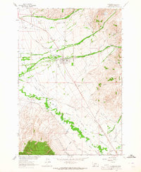
 1962 Dillon1962 Print · USGSSouthwest Montana in the early sixties is defined by its high mountain ranges and the winding rivers that carved its settlement patterns. Trace the rail routes of the Union Pacific through Dillon or locate mining activity near Butte and Argenta.
 - 1962 Map of Beaverhead Rock, 1964 Print
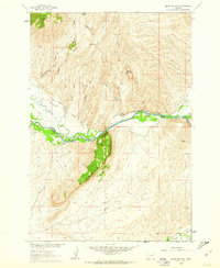
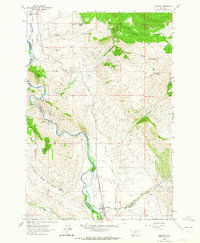
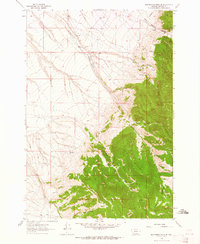
 1962 Beaverhead Rock1964 Print · USGSMadison County ranching and river life are captured here in the early sixties, centered on the complex irrigation networks of the Big Hole and Beaverhead valleys. Researchers can trace family history through labels like Point of Rocks Cem, the Point of Rocks settlement, and Biltmore Hot Springs.2 unique versions available
 - 1962 Map of Beaverhead Rock SW, 1964 Print
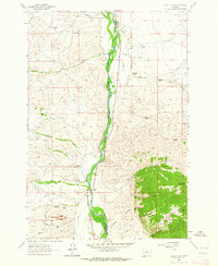
 1962 Beaverhead Rock SW1964 Print · USGSMadison County ranching and irrigation are captured here in the early sixties as the landscape was shaped by water management. You can trace the path of the East Bench Canal and locate family landmarks like the Diamond O Ranch.2 unique versions available
 - 1962 Map of Beaverhead Rock NE, 1964 Print
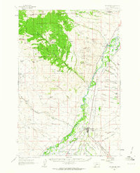
 1962 Beaverhead Rock NE1964 Print · USGSMadison County ranchlands were being reshaped in the early sixties as major irrigation projects moved across the landscape near the Beaverhead River. Researchers can trace the massive East Bench Canal and historic family-named water rights like the Seyler-Tash Ditch.
 - 1963 Map of Sheridan, 1964 Print
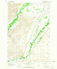
 1963 Sheridan1964 Print · USGSThe Ruby River valley comes alive in this early 1960s survey, showing a landscape defined by ranching and the Northern Pacific railroad. Trace the network of historic irrigation ditches and find landmarks like Robbers Roost Sch and the Tamarack Mine.2 unique versions available
 - 1963 Map of Metzel Ranch, 1964 Print
 1963 Metzel Ranch1964 Print · USGSThe Ruby River valley comes alive in the early sixties, showing a landscape of remote homesteads and complex irrigation. You can trace family history at the Upper Ruby Cem or locate historic sites like Puller Hot Springs and Metzel Ranch.2 unique versions available
 - 1963 Map of Home Park Ranch, 1964 Print
 1963 Home Park Ranch1964 Print · USGSMadison County ranching and water management are captured in the early 1960s, showing a landscape defined by family outposts and the Ruby River. Genealogists and researchers can trace local landmarks like Home Park Ranch, Gilbert Ranch, and the Garrison Cabin.2 unique versions available
 - 1963 Map of Copper Mountain, 1964 Print
 1963 Copper Mountain1964 Print · USGSMadison County high country is shown here in the early 1960s, a rugged area of active mining claims and federal forest management. Researchers can locate specific sites like the Toledo Mine, the Vigilante Canal, and the high peak of Copper Mountain.2 unique versions available
 - 1963 Map of Laurin Canyon, 1964 Print
 1963 Laurin Canyon1964 Print · USGSMadison County in the early sixties reveals a landscape of high-country cattle trails and valley irrigation. Trace the Northern Pacific railroad line through the Ruby Valley and locate historic Kilns or remote Warwhoop Springs.2 unique versions available
Showing maps 1-25 of 39
Top cities of Madison County
- Ennis historical maps
- Sheridan historical maps
- Twin Bridges historical maps
- Virginia City historical maps
- Harrison historical maps
Frequently asked questions
- What are the different types of historical maps available for Madison County?
- What is the oldest map of Madison County?
- Where can I purchase historical maps of Madison County for my home or office?
- Where can I download high-res historical maps of Madison County?
- Are there historical topographic maps available for Madison County?
- Is there historical aerial imagery available for Madison County?
- Where are historical maps of Madison County sourced from?