2020s Maps of Madison County, Montana
Explore 184 historic maps of Madison County from the 2020s. These maps offer a rare glimpse into what life looked like during the 2020s — showing old roads, neighborhoods, homes, and landmarks that have changed or disappeared over time.
Whether you're researching your family's past, planning a metal detecting trip, or studying how Madison County's landscape evolved across the 2020s, these high-resolution maps are a powerful tool for exploring the history of this region.
- Focus on a specific era: All maps on this page are from the 2020s, giving you a focused view of this time period.
- See what’s changed: Compare century-old streets, trails, and buildings to today's modern landscape using overlays and satellite layers.
- Research with precision: Use these maps for genealogy, historical research, land use analysis, or educational projects.
- View, download, or print: Maps are fully viewable online in high resolution, and can be downloaded or printed for your own records.
Start exploring Madison County's history through authentic maps from the 2020s. This is your window into the past.
Madison County, MT maps
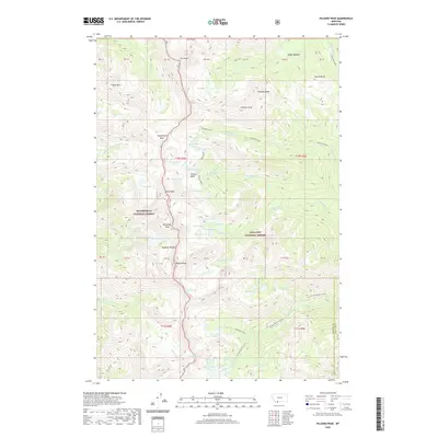
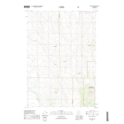
(184)- 2020 Map of Targhee Peak, 2020 Print
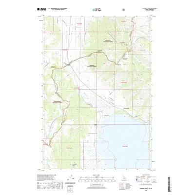 2020 Targhee Peak2020 Print · USGSCovers Madison County, including Island Park, Lake, and other nearby areas
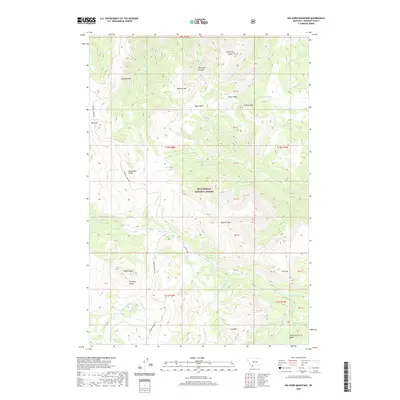
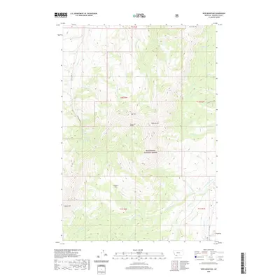
 - 2020 Map of Freezeout Mountain, 2020 Print
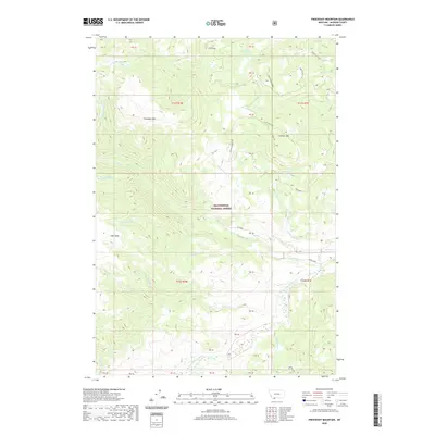 2020 Freezeout Mountain2020 Print · USGSCovers Madison County, including United States, Montana, and other nearby areas
 - 2020 Map of Eureka Basin, 2020 Print
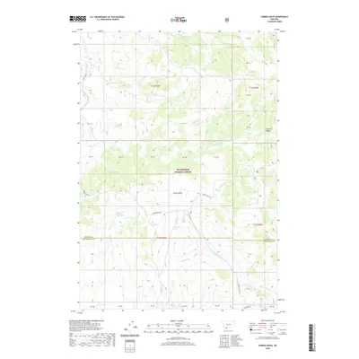 2020 Eureka Basin2020 Print · USGSCovers Madison County, including Beaverhead County, United States, and other nearby areas
 - 2020 Map of Windy Hill, 2020 Print
 2020 Windy Hill2020 Print · USGSCovers Madison County, including Beaverhead County, United States, and other nearby areas
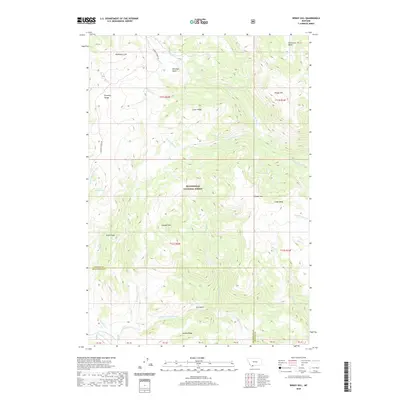
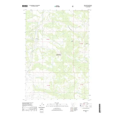
 - 2020 Map of Elk Springs, 2020 Print
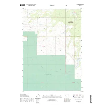 2020 Elk Springs2020 Print · USGSCovers Madison County, including Beaverhead County, United States, and other nearby areas
 - 2020 Map of Granite Mountain, 2020 Print
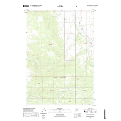 2020 Granite Mountain2020 Print · USGSCovers Madison County, including United States, Montana, and other nearby areas
 - 2020 Map of Pika Point, 2020 Print
 2020 Pika Point2020 Print · USGSCovers Madison County, including Gallatin County, United States, and other nearby areas
 - 2020 Map of Earthquake Lake, 2020 Print
 2020 Earthquake Lake2020 Print · USGSCovers Madison County, including Gallatin County, Fremont County, and other nearby areas
 - 2020 Map of Hilgard Peak, 2020 Print
 2020 Hilgard Peak2020 Print · USGSCovers Madison County, including Gallatin County, United States, and other nearby areas
 - 2020 Map of Big Horn Mountain, 2020 Print
 2020 Big Horn Mountain2020 Print · USGSCovers Madison County, including United States, Montana, and other nearby areas
 - 2020 Map of Iron Creek, 2020 Print
 2020 Iron Creek2020 Print · USGSCovers Madison County, including United States, Montana, and other nearby areas
 - 2020 Map of Cliff Lake, 2020 Print
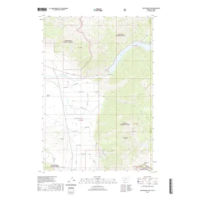
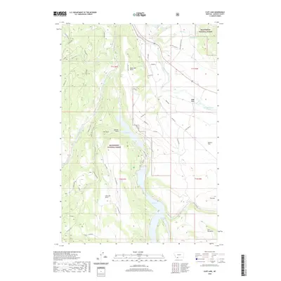 2020 Cliff Lake2020 Print · USGSCovers Madison County, including Schusters Place, Cliff Lake, and other nearby areas
 - 2020 Map of Swamp Creek, 2020 Print
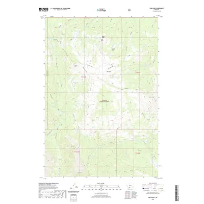
 2020 Swamp Creek2020 Print · USGSCovers Madison County, including Beaverhead County, United States, and other nearby areas
 - 2020 Map of Spur Mountain, 2020 Print
 2020 Spur Mountain2020 Print · USGSCovers Madison County, including United States, Montana, and other nearby areas
 - 2020 Map of Antone Peak, 2020 Print
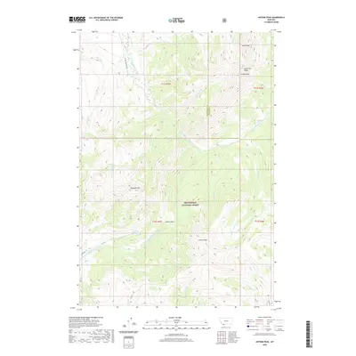 2020 Antone Peak2020 Print · USGSCovers Madison County, including Beaverhead County, United States, and other nearby areas
 - 2020 Map of Stonehouse Mountain, 2020 Print
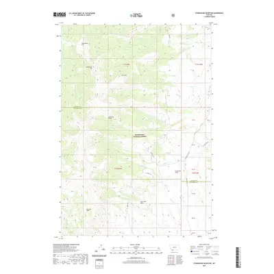 2020 Stonehouse Mountain2020 Print · USGSCovers Madison County, including Beaverhead County, United States, and other nearby areas
 - 2020 Map of Sheridan, 2020 Print
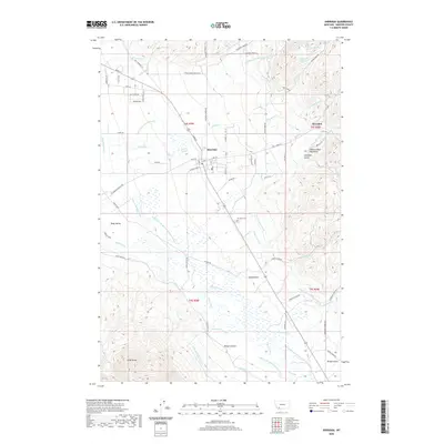 2020 Sheridan2020 Print · USGSCovers Madison County, including Sheridan, Brandon, and other nearby areas
 - 2020 Map of Red Canyon, 2020 Print
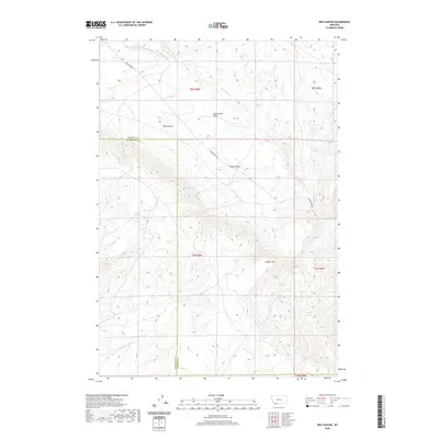 2020 Red Canyon2020 Print · USGSCovers Madison County, including Beaverhead County, United States, and other nearby areas
 - 2020 Map of Alder, 2020 Print
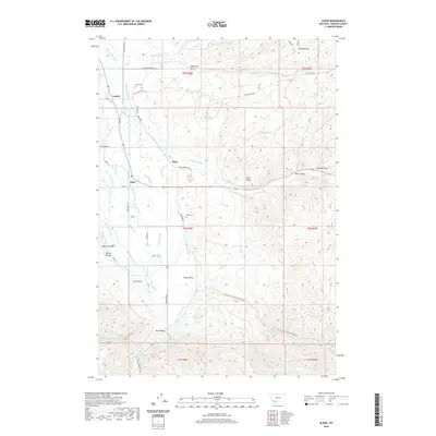 2020 Alder2020 Print · USGSCovers Madison County, including Ruby, Laurin, and other nearby areas
 - 2020 Map of Belmont Park Ranch, 2020 Print
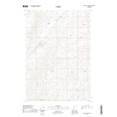 2020 Belmont Park Ranch2020 Print · USGSCovers Madison County, including Fries Place, Beaverhead County, and other nearby areas
 - 2020 Map of Beaverhead Rock, 2020 Print
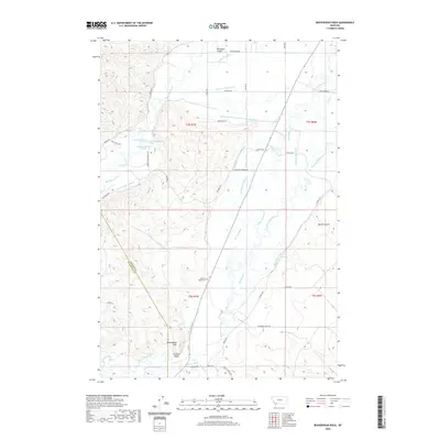 2020 Beaverhead Rock2020 Print · USGSCovers Madison County, including Beaverhead County, United States, and other nearby areas
 - 2020 Map of Vendome, 2020 Print
 2020 Vendome2020 Print · USGSCovers Madison County, including Butte, Vendome, and other nearby areas
 - 2020 Map of Beaverhead Rock SE, 2020 Print
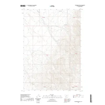 2020 Beaverhead Rock SE2020 Print · USGSCovers Madison County, including United States, Montana, and other nearby areas
 - 2020 Map of Manhead Mountain, 2020 Print
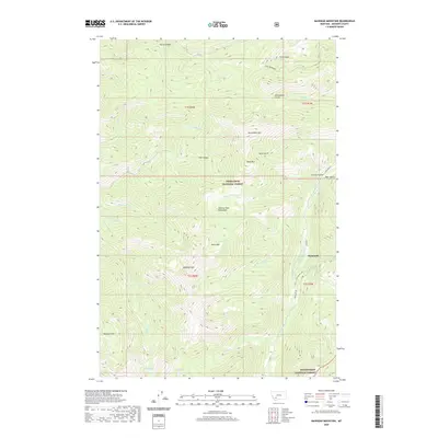 2020 Manhead Mountain2020 Print · USGSCovers Madison County, including Mammoth, United States, and other nearby areas
 - 2020 Map of Home Park Ranch, 2020 Print
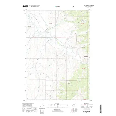 2020 Home Park Ranch2020 Print · USGSCovers Madison County, including Tate Place, Leonard Place, and other nearby areas
Showing maps 1-25 of 184
Top cities of Madison County
- Ennis historical maps
- Sheridan historical maps
- Twin Bridges historical maps
- Virginia City historical maps
- Harrison historical maps
Frequently asked questions
- What are the different types of historical maps available for Madison County?
- What is the oldest map of Madison County?
- Where can I purchase historical maps of Madison County for my home or office?
- Where can I download high-res historical maps of Madison County?
- Are there historical topographic maps available for Madison County?
- Is there historical aerial imagery available for Madison County?
- Where are historical maps of Madison County sourced from?