2010s Maps of Madison County, Montana
Explore 276 historic maps of Madison County from the 2010s. These maps offer a rare glimpse into what life looked like during the 2010s — showing old roads, neighborhoods, homes, and landmarks that have changed or disappeared over time.
Whether you're researching your family's past, planning a metal detecting trip, or studying how Madison County's landscape evolved across the 2010s, these high-resolution maps are a powerful tool for exploring the history of this region.
- Focus on a specific era: All maps on this page are from the 2010s, giving you a focused view of this time period.
- See what’s changed: Compare century-old streets, trails, and buildings to today's modern landscape using overlays and satellite layers.
- Research with precision: Use these maps for genealogy, historical research, land use analysis, or educational projects.
- View, download, or print: Maps are fully viewable online in high resolution, and can be downloaded or printed for your own records.
Start exploring Madison County's history through authentic maps from the 2010s. This is your window into the past.
Madison County, MT maps
(276)- 2011 Map of Elk Gulch, 2011 Print
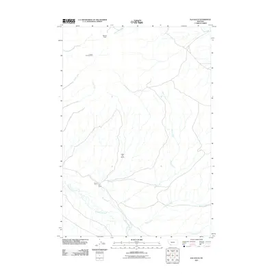 2011 Elk Gulch2011 Print · USGSBeaverhead County ranching and mining lands are detailed here as they appeared in the early 2010s. Researchers can trace the legacy of local industry and land use at the Graphite Birds Nest Mine, Brown Ranch, and the drainages of Blacktail Deer Creek.
 - 2011 Map of Beaverhead Rock SE, 2011 Print
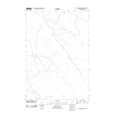 2011 Beaverhead Rock SE2011 Print · USGSMadison County ranching lands are captured here in the early twenty-first century, showing the intersection of vital water sources and remote family holdings. Researchers can trace the boundaries of the Christensen Ranch and locate landmarks like the Mad Chant Dam and Mine Gulch.
 - 2011 Map of Earls Gulch, 2011 Print
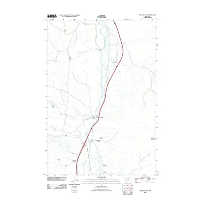 2011 Earls Gulch2011 Print · USGSSilver Bow County ranching and river access are the focus of this Montana survey at the start of the decade. Genealogists and historians can locate family-named landmarks like McCullough Ranch and Kambich Ranch, or trace industrial sites like the Tungsten Mill.
 - 2011 Map of Belmont Park Ranch, 2011 Print
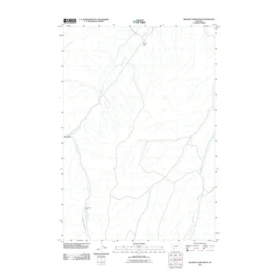 2011 Belmont Park Ranch2011 Print · USGSHigh-elevation ranchlands and creek drainages in Madison County are captured here in the early twenty-first century. Researchers can trace the remote network of tracks like Honeymoon Springs Rd to sites such as Spring Brook Camp and Fries Place.
 - 2011 Map of Nez Perce Hollow, 2011 Print
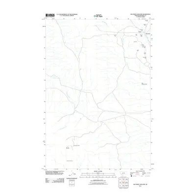 2011 Nez Perce Hollow2011 Print · USGSMadison County mining history is recorded here in the early twenty-first century, centered on the settlement of Rochester. Researchers can locate dozens of historical claims and sites like the Ajax Mine, Golden Fleece Mine, and the Rochester Cemetery.
 - 2011 Map of Metzel Ranch, 2011 Print
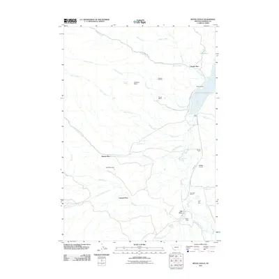 2011 Metzel Ranch2011 Print · USGSMadison County ranching and mining country is documented here in the early twenty-first century. Researchers can trace historic family lands like Metzel Ranch and Burdick Place or locate the Upper Ruby Cemetery and Kelly Hill Mine.
 - 2011 Map of Home Park Ranch, 2011 Print
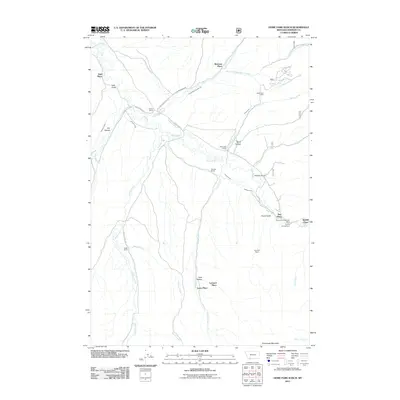 2011 Home Park Ranch2011 Print · USGSMadison County ranching and water rights are meticulously documented here in the early 2000s. Researchers can trace historic homesteads and grazing lands such as Home Park Ranch, Tate Place, and the remote Garrison Cabin near the Ruby River.
 - 2011 Map of Wickiup Creek, 2011 Print
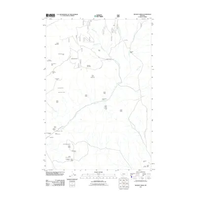 2011 Wickiup Creek2011 Print · USGSSilver Bow County mining operations are documented in detail in this 2011 survey of the high mountain terrain south of Butte. Researchers can trace the exact locations of dozens of claims and landmarks, including the Penobscot Mine, Smith Dam, and Clipper Mine.
 - 2011 Map of Beaverhead Rock, 2011 Print
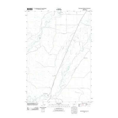 2011 Beaverhead Rock2011 Print · USGSBeaverhead County in the early twenty-first century reveals a landscape shaped by the Big Hole River and its vital irrigation networks. Researchers can locate the Point of Rocks Cemetery and trace historical land use through landmarks like Beaverhead Rock and Biltmore Hot Springs.
 - 2011 Map of Beaverhead Rock SW, 2011 Print
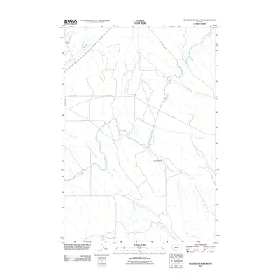 2011 Beaverhead Rock SW2011 Print · USGSThe ranching country of Beaverhead County comes into focus in this early twenty-first-century survey of the high plains. Researchers can trace the vital irrigation networks of the East Bench Canal and Larson Ditch alongside landmarks like the Diamond O Ranch.
 - 2011 Map of Noble Peak, 2011 Print
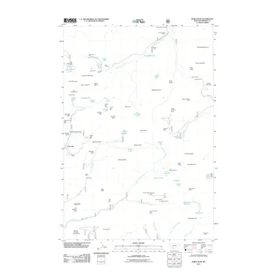 2011 Noble Peak2011 Print · USGSIn the mountains near Madison County in 2011, the landscape remains defined by its deep mining heritage. Genealogists and historians can trace numerous named claims such as the Bismark Mine, the settlement of Leiterville, and the remote Sunnyside Mine.
 - 2011 Map of Alder, 2011 Print
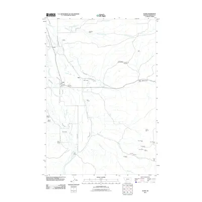 2011 Alder2011 Print · USGSMadison County's mining and ranching heritage is preserved in this 2011 map of the Ruby River valley. Genealogists and local historians can trace family ties at the Laurin Cemetery and locate numerous historic mining sites like the Saint Lawrence Mine and Geel Mine.
 - 2011 Map of Silver Star, 2011 Print
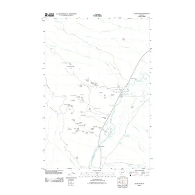 2011 Silver Star2011 Print · USGSThe mining-intensive landscape of Silver Star, Montana, is documented here in the early 21st century. Researchers can trace dozens of individual claims like the Green Campbell Mine and Silver Star Mine alongside landmarks like the Silver Star Post Office.
 - 2011 Map of Table Mountain, 2011 Print
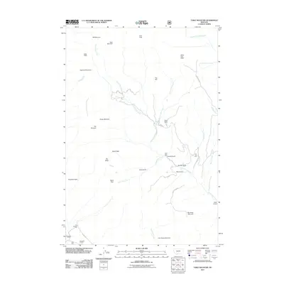 2011 Table Mountain2011 Print · USGSSilver Bow County’s mining and timber heritage is captured here in the early twenty-first century as it manifests in the high peaks south of Butte. Researchers can trace land use through sites like the Julia Lee Mine, Big Bonanza Mine, and Sawmill Gulch.
 - 2011 Map of Laurin Canyon, 2011 Print
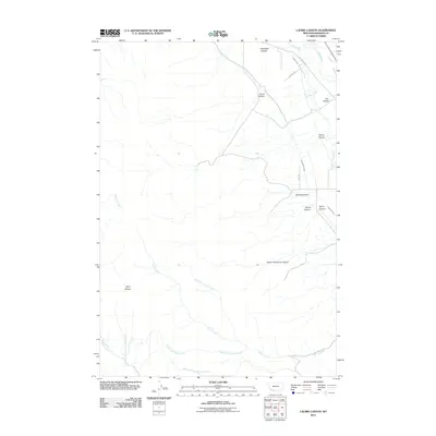 2011 Laurin Canyon2011 Print · USGSMadison County at the start of the decade reveals a landscape defined by the Ruby River and its intricate ranching infrastructure. Trace the early 21st-century water network through the Ayotte Ditch, explore the heights of the Ruby Range, or locate the secluded Waruhoop Springs.
 - 2011 Map of Copper Mountain, 2011 Print
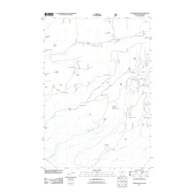 2011 Copper Mountain2011 Print · USGSMadison County's mining heritage is etched into the landscape of the early twenty-first century. Genealogists and researchers can trace the reach of the local mineral economy through sites like the Copper Mountain Mine, the Toledo Mine, and the Harris Creek Talc Mine.
 - 2011 Map of Old Baldy Mountain, 2011 Print
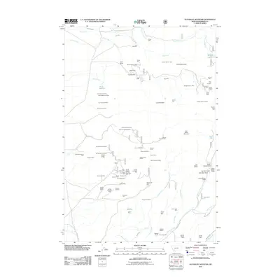 2011 Old Baldy Mountain2011 Print · USGSMadison County mining claims and high-mountain hydrology are meticulously documented in this early twenty-first-century survey. Trace a century of extraction through the Eleanora Mines, Smelter Mountain Mine, and the waters of Smith Reservoir.
 - 2011 Map of Sheridan, 2011 Print
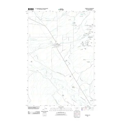 2011 Sheridan2011 Print · USGSThe Ruby Valley and the town of Sheridan are captured here in the early twenty-first century, showing a landscape defined by ranching and historic mining claims. Researchers can trace irrigation networks like the Vigilante Canal and locate specific sites such as the Sheridan Cemetery, Brandon, and the Fort Knox Mine.
 - 2011 Map of Red Canyon, 2011 Print
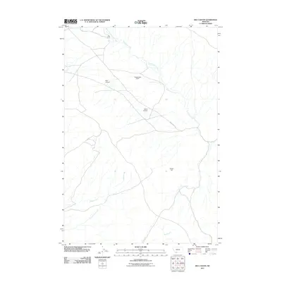 2011 Red Canyon2011 Print · USGSBeaverhead County ranching lands and high-basin terrain are captured here just after the turn of the twenty-first century. Researchers can trace historic water rights and land use at Ball Ranch, Virginia Springs, and along the winding Sweetwater Rd.
 - 2011 Map of Christensen Ranch, 2011 Print
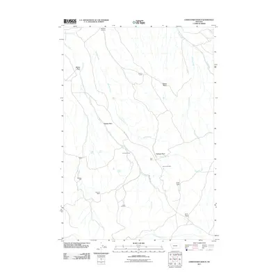 2011 Christensen Ranch2011 Print · USGSMadison County ranching and mining operations are captured here at the start of the 2010s. Researchers can locate specific family outposts and mineral sites like Christensen Ranch, Regal Mine, and the Guidici Cowcamp.
 - 2011 Map of Ruby Dam, 2011 Print
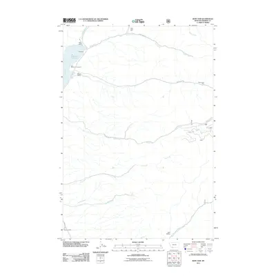 2011 Ruby Dam2011 Print · USGSMadison County's rugged mining and ranching country is centered on the Ruby River Reservoir in the early twenty-first century. Researchers can locate family landmarks like the Wonderly Ranch or trace mineral operations at the Barton Gulch Mine and Davey Creek Mine.
 - 2011 Map of Mount Humbug, 2011 Print
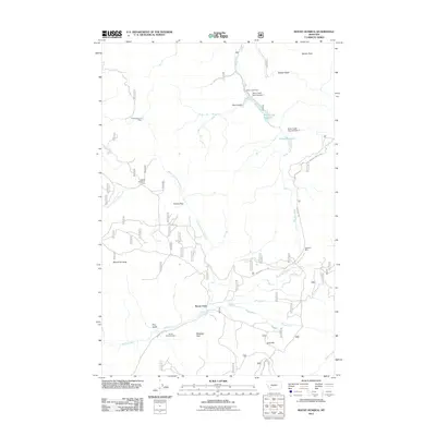 2011 Mount Humbug2011 Print · USGSThe mining and ranching country south of Butte is revealed here in the early 2000s, showcasing a landscape shaped by resource extraction. Researchers can locate specific legacy operations such as the Highland Mine and trace the waters of the Basin Creek Reservoir near Moose Town.
 - 2011 Map of Block Mountain, 2011 Print
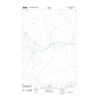 2011 Block Mountain2011 Print · USGSBeaverhead County terrain is captured here in the early twenty-first century as the Big Hole River winds past ancient landmarks and local industry. Genealogists and historians can locate Sodak Mill, the Sodak Mine, and the site of a Buffalo Jump.
 - 2011 Map of Melrose, 2011 Print
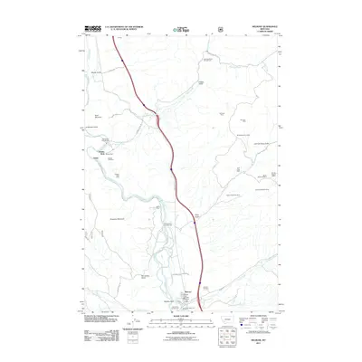 2011 Melrose2011 Print · USGSSilver Bow County in the early twenty-first century remains a landscape defined by its mining heritage and the winding Big Hole River. Genealogists and historians can locate the Melrose Cemetery or trace old mining claims like the Berlin Mine and Tamarack Mine.
 - 2011 Map of Twin Bridges SW, 2011 Print
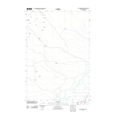 2011 Twin Bridges SW2011 Print · USGSMadison County mining districts and river bottomlands are captured here in the early twenty-first century. Genealogists and researchers can trace dozens of specific claims like the Crystal Mine and Hermit Mine or the waterways of the Big Hole River.
Showing maps 1-25 of 276
Top cities of Madison County
- Ennis historical maps
- Sheridan historical maps
- Twin Bridges historical maps
- Virginia City historical maps
- Harrison historical maps
Frequently asked questions
- What are the different types of historical maps available for Madison County?
- What is the oldest map of Madison County?
- Where can I purchase historical maps of Madison County for my home or office?
- Where can I download high-res historical maps of Madison County?
- Are there historical topographic maps available for Madison County?
- Is there historical aerial imagery available for Madison County?
- Where are historical maps of Madison County sourced from?