2020s Maps of Meagher County, Montana
Explore 134 historic maps of Meagher County from the 2020s. These maps offer a rare glimpse into what life looked like during the 2020s — showing old roads, neighborhoods, homes, and landmarks that have changed or disappeared over time.
Whether you're researching your family's past, planning a metal detecting trip, or studying how Meagher County's landscape evolved across the 2020s, these high-resolution maps are a powerful tool for exploring the history of this region.
- Focus on a specific era: All maps on this page are from the 2020s, giving you a focused view of this time period.
- See what’s changed: Compare century-old streets, trails, and buildings to today's modern landscape using overlays and satellite layers.
- Research with precision: Use these maps for genealogy, historical research, land use analysis, or educational projects.
- View, download, or print: Maps are fully viewable online in high resolution, and can be downloaded or printed for your own records.
Start exploring Meagher County's history through authentic maps from the 2020s. This is your window into the past.
Meagher County, MT maps
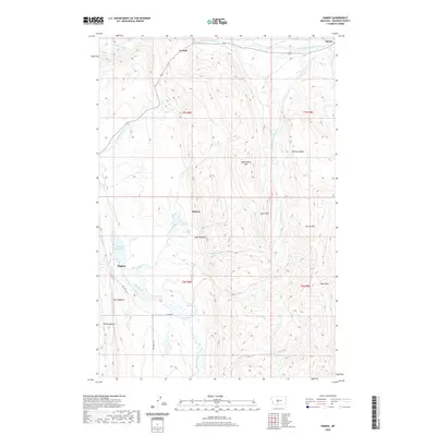
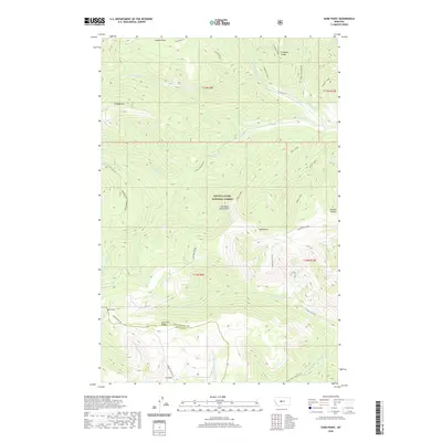
(134)- 2020 Map of Sixteen, 2020 Print
 2020 Sixteen2020 Print · USGSCovers Meagher County, including Sixteen, Gallatin County, and other nearby areas
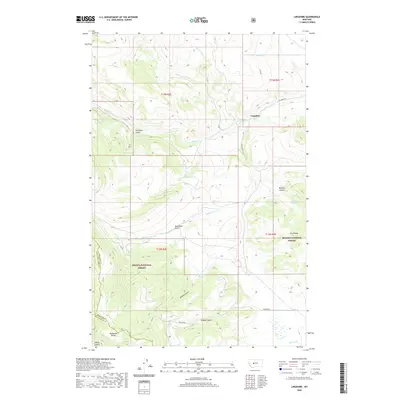
 - 2020 Map of Lennep, 2020 Print
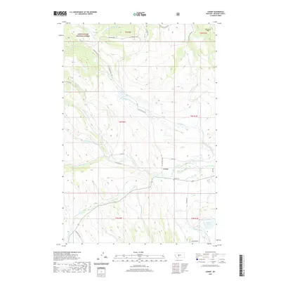 2020 Lennep2020 Print · USGSCovers Meagher County, including Lennep, United States, and other nearby areas
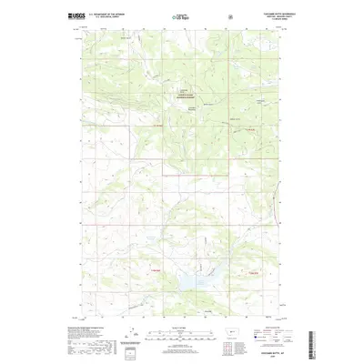
 - 2020 Map of Strawberry Butte, 2020 Print
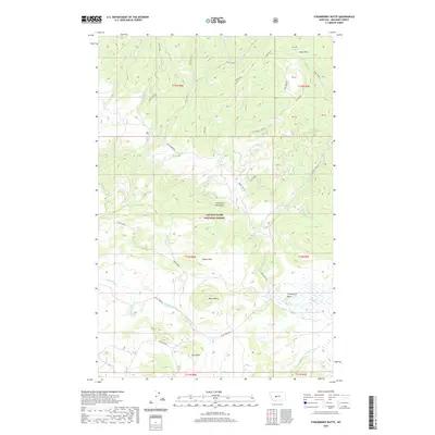 2020 Strawberry Butte2020 Print · USGSCovers Meagher County, including United States, Montana, and other nearby areas
 - 2020 Map of Bubbling Springs, 2020 Print
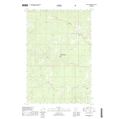 2020 Bubbling Springs2020 Print · USGSCovers Meagher County, including Cascade County, United States, and other nearby areas
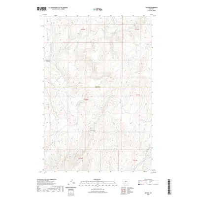
 - 2020 Map of Ringling, 2020 Print
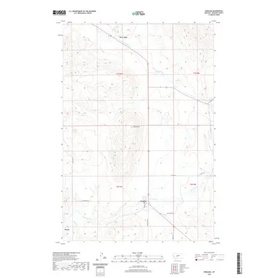 2020 Ringling2020 Print · USGSCovers Meagher County, including Bruce Place, Moss Agate, and other nearby areas
 - 2020 Map of Pinchout Creek, 2020 Print
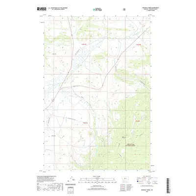 2020 Pinchout Creek2020 Print · USGSCovers Meagher County, including United States, Montana, and other nearby areas
 - 2020 Map of Black Butte Mountain, 2020 Print
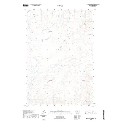 2020 Black Butte Mountain2020 Print · USGSCovers Meagher County, including Moyne, United States, and other nearby areas
 - 2020 Map of Russian Flat, 2020 Print
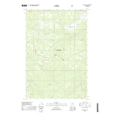 2020 Russian Flat2020 Print · USGSCovers Meagher County, including Judith Basin County, United States, and other nearby areas
 - 2020 Map of Hamen, 2020 Print
 2020 Hamen2020 Print · USGSCovers Meagher County, including Loweth, Hamen, and other nearby areas
 - 2020 Map of Coxcombe Butte, 2020 Print
 2020 Coxcombe Butte2020 Print · USGSCovers Meagher County, including United States, Montana, and other nearby areas
 - 2020 Map of Mount Howe, 2020 Print
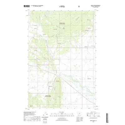 2020 Mount Howe2020 Print · USGSCovers Meagher County, including United States, Montana, and other nearby areas
 - 2020 Map of Moose Mountain, 2020 Print
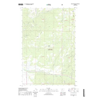 2020 Moose Mountain2020 Print · USGSCovers Meagher County, including Wolsey, Cascade County, and other nearby areas
 - 2020 Map of White Sulphur Springs, 2020 Print
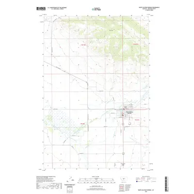 2020 White Sulphur Springs2020 Print · USGSCovers Meagher County, including White Sulphur Springs, Doak Trailer Court, and other nearby areas
 - 2020 Map of Wolf Hill, 2020 Print
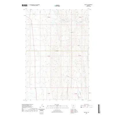 2020 Wolf Hill2020 Print · USGSCovers Meagher County, including Staley Place, Tyman Place, and other nearby areas
 - 2020 Map of Catlin Spring, 2020 Print
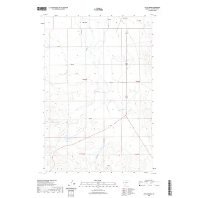 2020 Catlin Spring2020 Print · USGSCovers Meagher County, including United States, Montana, and other nearby areas
 - 2020 Map of Daisy Peak, 2020 Print
 2020 Daisy Peak2020 Print · USGSCovers Meagher County, including Wheatland County, Judith Basin County, and other nearby areas
 - 2020 Map of Sand Point, 2020 Print
 2020 Sand Point2020 Print · USGSCovers Meagher County, including Judith Basin County, United States, and other nearby areas
 - 2020 Map of Castle Town, 2020 Print
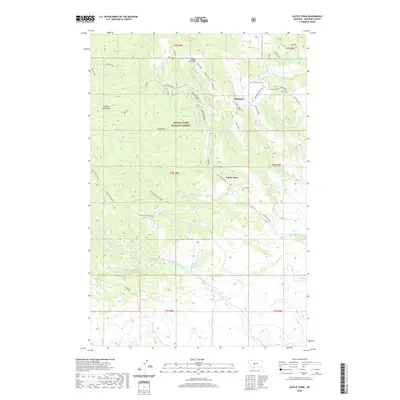 2020 Castle Town2020 Print · USGSCovers Meagher County, including Robinson, United States, and other nearby areas
 - 2020 Map of Martinsdale, 2020 Print
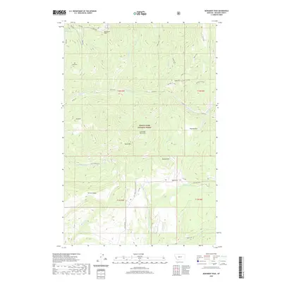
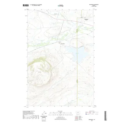 2020 Martinsdale2020 Print · USGSCovers Meagher County, including Martinsdale, Martinsdale Hutterite Colony, and other nearby areas
 - 2020 Map of Sixteen NE, 2020 Print
 2020 Sixteen NE2020 Print · USGSCovers Meagher County, including Gallatin County, Park County, and other nearby areas
 - 2020 Map of Hogback Mountain, 2020 Print
 2020 Hogback Mountain2020 Print · USGSCovers Meagher County, including Lewis and Clark County, United States, and other nearby areas
 - 2020 Map of Monument Peak, 2020 Print
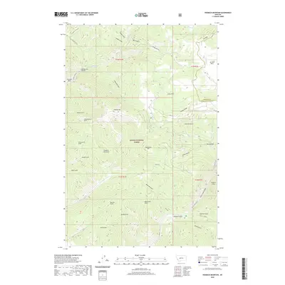
 2020 Monument Peak2020 Print · USGSCovers Meagher County, including United States, Montana, and other nearby areas
 - 2020 Map of Lingshire, 2020 Print
 2020 Lingshire2020 Print · USGSCovers Meagher County, including Lingshire, Lewis and Clark County, and other nearby areas
 - 2020 Map of Battle Mountain, 2020 Print
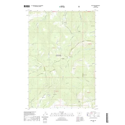
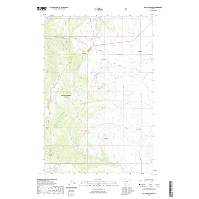 2020 Battle Mountain2020 Print · USGSCovers Meagher County, including Broadwater County, United States, and other nearby areas
 - 2020 Map of Gurnett Creek East, 2020 Print
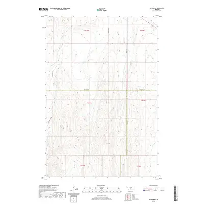
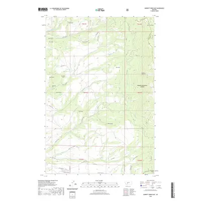 2020 Gurnett Creek East2020 Print · USGSCovers Meagher County, including Broadwater County, United States, and other nearby areas
Showing maps 1-25 of 134
Top cities of Meagher County
Frequently asked questions
- What are the different types of historical maps available for Meagher County?
- What is the oldest map of Meagher County?
- Where can I purchase historical maps of Meagher County for my home or office?
- Where can I download high-res historical maps of Meagher County?
- Are there historical topographic maps available for Meagher County?
- Is there historical aerial imagery available for Meagher County?
- Where are historical maps of Meagher County sourced from?