2010s Maps of Missoula, Montana
Explore 15 historic maps of Missoula from the 2010s. These maps offer a rare glimpse into what life looked like during the 2010s — showing old roads, neighborhoods, homes, and landmarks that have changed or disappeared over time.
Whether you're researching your family's past, planning a metal detecting trip, or studying how Missoula's landscape evolved across the 2010s, these high-resolution maps are a powerful tool for exploring the history of this region.
- Focus on a specific era: All maps on this page are from the 2010s, giving you a focused view of this time period.
- See what’s changed: Compare century-old streets, trails, and buildings to today's modern landscape using overlays and satellite layers.
- Research with precision: Use these maps for genealogy, historical research, land use analysis, or educational projects.
- View, download, or print: Maps are fully viewable online in high resolution, and can be downloaded or printed for your own records.
Start exploring Missoula's history through authentic maps from the 2010s. This is your window into the past.
Missoula, MT maps
(15)- 2011 Map of Primrose, 2011 Print
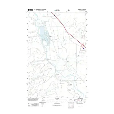 2011 Primrose2011 Print · USGSMissoula County at the start of the 2010s reveals a landscape shaped by the Clark Fork and irrigation networks. Researchers can trace the layout of the Schilling Siding, the historic grounds of Council Grove, and family-named terrain like Sherman Gulch.
 - 2011 Map of Northeast Missoula, 2011 Print
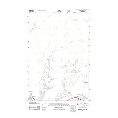 2011 Northeast Missoula2011 Print · USGSMissoula’s northeastern expansion and the rugged foothills of the Rattlesnake Mountains are captured here in the early twenty-first century. Researchers can trace the development of residential areas like Pinegrove and find landmarks such as Saint Mary Cemetery and the Marshall Ski Area.
 - 2011 Map of Southeast Missoula, 2011 Print
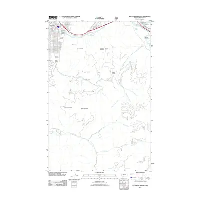 2011 Southeast Missoula2011 Print · USGSMissoula and the Blackfoot River valley are captured here just after the turn of the century, showing the city’s eastern edge and the river communities. Researchers can trace the industrial corridor through Hellgate Canyon to find the Milltown Dam and the historic Mount Sentinel Mine.
 - 2011 Map of Northwest Missoula, 2011 Print
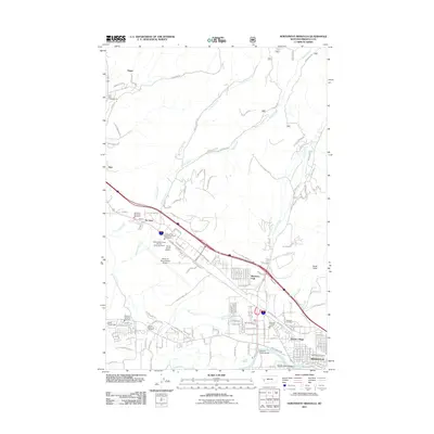 2011 Northwest Missoula2011 Print · USGSThe northwestern outskirts of Missoula and its aviation hub are documented here in the early twenty-first century. Genealogists and local historians can trace family plots at Missoula Cemetery and the industrial growth around De Smet and Travois Village.
 - 2011 Map of Southwest Missoula, 2011 Print
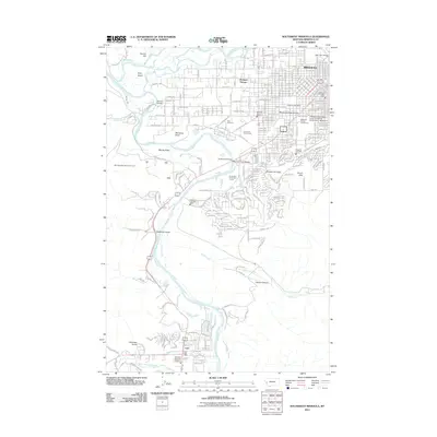 2011 Southwest Missoula2011 Print · USGSThe Bitterroot Valley south of Missoula is captured here during its early 21st-century growth, from the Missoula County Fairgrounds down to Lolo. Genealogists and local historians can trace landmarks like the Post Cemetery or the reaches of Miller Creek and Deadman Gulch.
 - 2014 Map of Northeast Missoula, 2014 Print
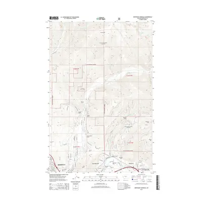 2014 Northeast Missoula2014 Print · USGSNortheast Missoula and the surrounding foothills appear in detail during this period of 21st-century growth. Genealogists and hikers can trace the geography of Saint Mary Cem, the slopes of Mt Jumbo, and the riverfront at Bandmann Flats.
 - 2014 Map of Northwest Missoula, 2014 Print
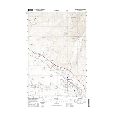 2014 Northwest Missoula2014 Print · USGSMissoula and the surrounding valley floor are shown in the early 2010s as a hub of transport and irrigation. Researchers can trace historic cemeteries such as Missoula Cem, local irrigation via the Flynn Lowney Ditch, and the growth of neighborhoods like Orchard Homes.
 - 2014 Map of Southwest Missoula, 2014 Print
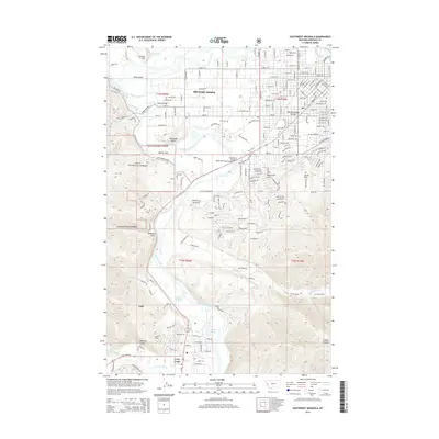 2014 Southwest Missoula2014 Print · USGSMissoula's southwestern fringe meets the winding Bitterroot during the early twenty-first century. Researchers can trace river crossings like Maclay Bridge and local landmarks from Orchard Homes to the Memorial Rose Garden.
 - 2014 Map of Primrose, 2014 Print
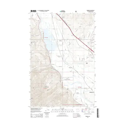 2014 Primrose2014 Print · USGSNear the outskirts of Missoula in the mid-2010s, this area shows a landscape defined by the Clark Fork and historical transportation routes. Trace the reach of the Frenchtown Irrigation District Ditch and find local landmarks like Harper Bridge and Schilling.
 - 2014 Map of Southeast Missoula, 2014 Print
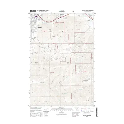 2014 Southeast Missoula2014 Print · USGSMissoula and the Clark Fork valley are documented here in the early twenty-first century, showing the city's interface with the surrounding mountains. Genealogists and hikers can trace property near the University of Montana or explore landmarks like Mt Sentinel and Hellgate Canyon.
 - 2017 Map of Southeast Missoula, 2017 Print
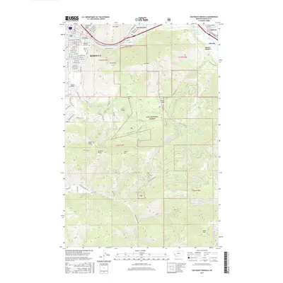 2017 Southeast Missoula2017 Print · USGSMissoula and its eastern river-valley neighbors are shown here at a period of modern growth and environmental management. Researchers can trace the university grounds, rail lines like the BNSF Railway, and local peaks including Mt Sentinel and Miller Peak.
 - 2017 Map of Primrose, 2017 Print
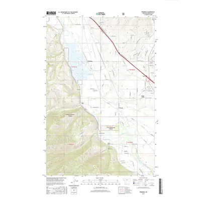 2017 Primrose2017 Print · USGSThe Clark Fork valley west of Missoula is shown here in the late twenty-teens, highlighting a landscape defined by irrigation and river travel. Researchers can trace historic water routes like the Frenchtown Irrigation District Ditch and find local landmarks such as Harper Bridge and Primrose.
 - 2017 Map of Northwest Missoula, 2017 Print
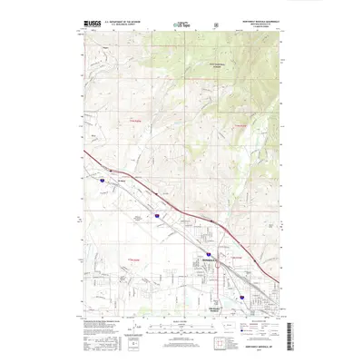 2017 Northwest Missoula2017 Print · USGSThe northwest expansion of Missoula is captured here in the late twenty-tens, showing the city's intersection with the Clark Fork and the North Hills. Trace the development of local neighborhoods like Orchard Homes and the infrastructure around Missoula International Airport.
 - 2017 Map of Southwest Missoula, 2017 Print
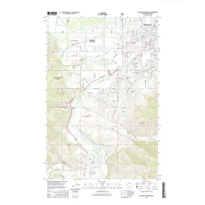 2017 Southwest Missoula2017 Print · USGSMissoula and the Bitterroot Valley are shown here in recent detail as the city expands toward the foothills. Genealogists and local historians can trace modern property developments alongside established landmarks like Post Cem, Maclay Bridge, and the Montana Rail Link.
 - 2017 Map of Northeast Missoula, 2017 Print
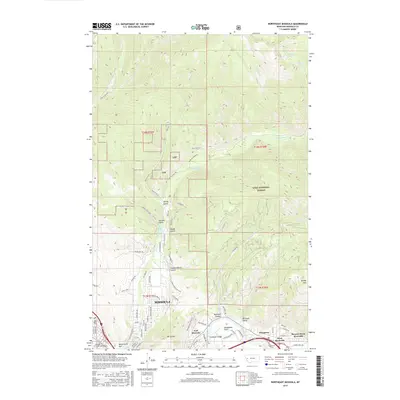 2017 Northeast Missoula2017 Print · USGSMissoula’s northeastern reaches meet the wilderness of the Lolo National Forest in this modern survey of the river-carved landscape. Researchers can trace the development of East Missoula and Pinegrove along the Clark Fork, or locate landmarks like Saint Mary Cems and Mt Jumbo.
End of results
Showing maps 1-15 of 15
Top cities near Missoula
Top neighborhoods of Missoula
- BN Plaza historical maps
- Canyon River historical maps
- North Reserve historical maps
- Northside historical maps
- Riverfront historical maps
- Rose Park historical maps
See more
Frequently asked questions
- What are the different types of historical maps available for Missoula?
- What is the oldest map of Missoula?
- Where can I purchase historical maps of Missoula for my home or office?
- Where can I download high-res historical maps of Missoula?
- Are there historical topographic maps available for Missoula?
- Is there historical aerial imagery available for Missoula?
- Where are historical maps of Missoula sourced from?