2020s Maps of Oswego District, Montana
Explore 32 historic maps of Oswego District from the 2020s. These maps offer a rare glimpse into what life looked like during the 2020s — showing old roads, neighborhoods, homes, and landmarks that have changed or disappeared over time.
Whether you're researching your family's past, planning a metal detecting trip, or studying how Oswego District's landscape evolved across the 2020s, these high-resolution maps are a powerful tool for exploring the history of this region.
- Focus on a specific era: All maps on this page are from the 2020s, giving you a focused view of this time period.
- See what’s changed: Compare century-old streets, trails, and buildings to today's modern landscape using overlays and satellite layers.
- Research with precision: Use these maps for genealogy, historical research, land use analysis, or educational projects.
- View, download, or print: Maps are fully viewable online in high resolution, and can be downloaded or printed for your own records.
Start exploring Oswego District's history through authentic maps from the 2020s. This is your window into the past.
Oswego District, MT maps
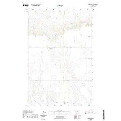
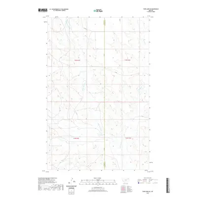
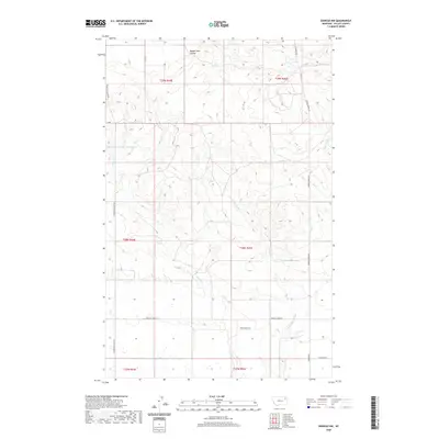
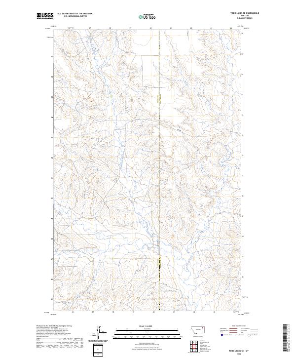
(32)- 2020 Map of Todd Lakes, 2020 Print
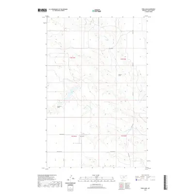 2020 Todd Lakes2020 Print · USGSCovers Oswego District, including Frazer District, Valley County, and other nearby areas
 - 2020 Map of Oswego, 2020 Print
 2020 Oswego2020 Print · USGSCovers Oswego District, including Oswego, Frazer District, and other nearby areas
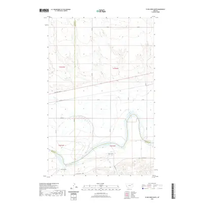
 - 2020 Map of Flynn Creek North, 2020 Print
 2020 Flynn Creek North2020 Print · USGSCovers Oswego District, including Wolf Point District, Roosevelt County, and other nearby areas
 - 2020 Map of Todd Lakes NE, 2020 Print
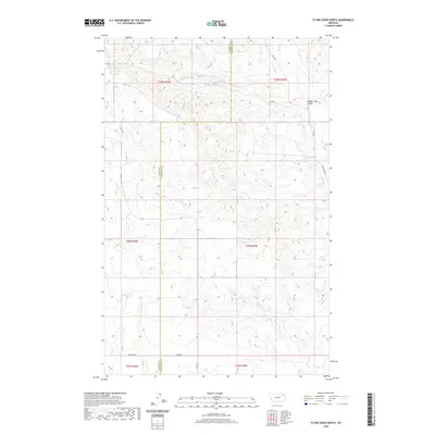
 2020 Todd Lakes NE2020 Print · USGSCovers Oswego District, including Wolf Point District, Roosevelt County, and other nearby areas
 - 2020 Map of Haugens Hill, 2020 Print
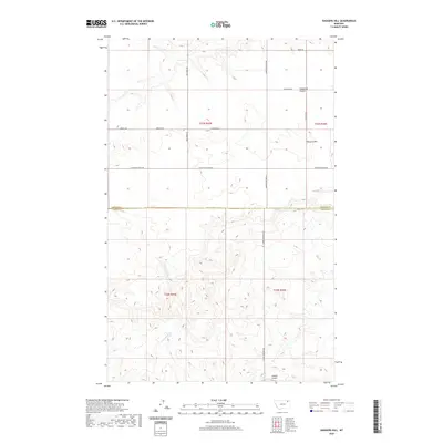 2020 Haugens Hill2020 Print · USGSCovers Oswego District, including Frazer District, Valley County, and other nearby areas
 - 2020 Map of Todd Lakes SE, 2020 Print
 2020 Todd Lakes SE2020 Print · USGSCovers Oswego District, including Wolf Point District, Roosevelt County, and other nearby areas
 - 2020 Map of Poplar Coulee, 2020 Print
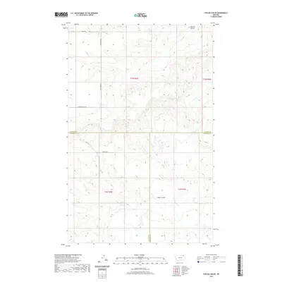 2020 Poplar Coulee2020 Print · USGSCovers Oswego District, including Wolf Point District, Poplar District, and other nearby areas
 - 2020 Map of West Fork NE, 2020 Print
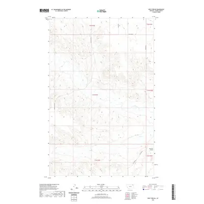 2020 West Fork NE2020 Print · USGSCovers Oswego District, including Wolf Point District, Daniels County, and other nearby areas
 - 2020 Map of West Fork, 2020 Print
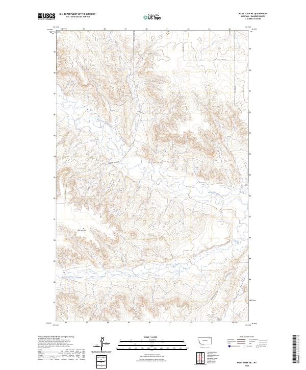
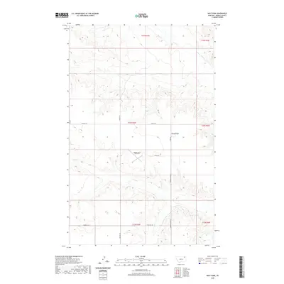 2020 West Fork2020 Print · USGSCovers Oswego District, including West Fork, Daniels County, and other nearby areas
 - 2020 Map of Oswego NW, 2020 Print
 2020 Oswego NW2020 Print · USGSCovers Oswego District, including Frazer District, Valley County, and other nearby areas
 - 2020 Map of Dubbe Reservoir, 2020 Print
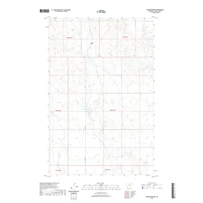 2020 Dubbe Reservoir2020 Print · USGSCovers Oswego District, including Frazer District, Valley County, and other nearby areas
 - 2020 Map of Johnnys Hill, 2020 Print
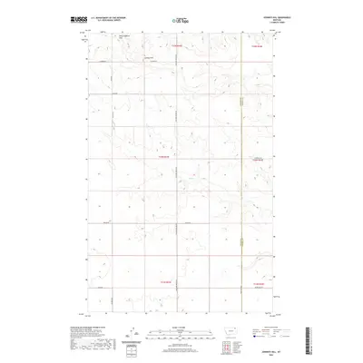 2020 Johnnys Hill2020 Print · USGSCovers Oswego District, including Frazer District, Valley County, and other nearby areas
 - 2020 Map of Blink Springs, 2020 Print
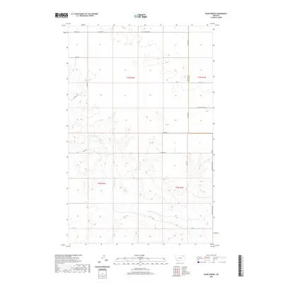 2020 Blink Springs2020 Print · USGSCovers Oswego District, including Frazer District, Valley County, and other nearby areas
 - 2020 Map of Spring Valley East, 2020 Print
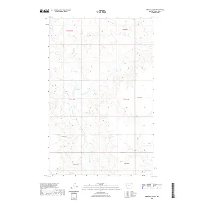 2020 Spring Valley East2020 Print · USGSCovers Oswego District, including Frazer District, Valley County, and other nearby areas
 - 2020 Map of Lustre, 2020 Print
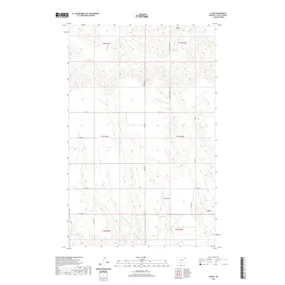 2020 Lustre2020 Print · USGSCovers Oswego District, including Frazer District, Lustre, and other nearby areas
 - 2020 Map of Flynn Creek South, 2020 Print
 2020 Flynn Creek South2020 Print · USGSCovers Oswego District, including Wolf Point District, Prairie Elk Hutterite Colony, and other nearby areas
 - 2024 Map of Oswego NW, 2024 Print
 2024 Oswego NW2024 Print · USGSValley County, Montana, remains a landscape of high plains and deep drainages in the early twenty-first century. Researchers can trace the path of Oswego Creek Rd through the undulating terrain near Three Buttes and Badger Hole Coulee.
 - 2024 Map of Todd Lakes SE, 2024 Print
 2024 Todd Lakes SE2024 Print · USGSThe high plains of Valley and Roosevelt counties are captured here in the early twenty-first century. Genealogists and local historians can trace the intersecting paths of Middle Fork Wolf Creek and East Fork Wolf Creek near rural routes like Coline Rd.
 - 2024 Map of Johnnys Hill, 2024 Print
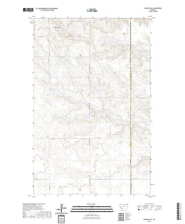 2024 Johnnys Hill2024 Print · USGSNorthern Montana ranching country is captured here along the Valley and Daniels county line. Genealogists and local historians can trace family-named routes like Sillerud Rd and Phillips Rd near the landmark of Johnnys Hill.
 - 2024 Map of West Fork, 2024 Print
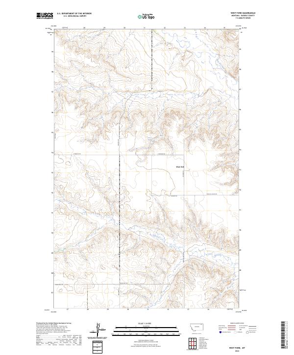 2024 West Fork2024 Print · USGSThe high plains of Daniels County are captured in this recent survey of the rural landscape around West Fork. Researchers can trace old section lines and access routes like Prairie Dell Rd and Peerless Lustre Rd near Hell Creek.
 - 2024 Map of Flynn Creek North, 2024 Print
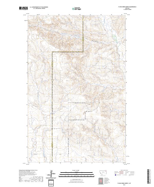 2024 Flynn Creek North2024 Print · USGSThe high plains of Roosevelt and Valley counties are captured here in the early twenty-first century, showing a landscape shaped by seasonal water and section lines. Researchers can trace the rugged drainages of Badger Hole Coulee, Wolf Creek, and the headwaters of Flynn Creek.
 - 2024 Map of Flynn Creek South, 2024 Print
 2024 Flynn Creek South2024 Print · USGSThe Missouri River bottomlands meet the high Montana plains in this recent survey of the Roosevelt County borderlands. Genealogists can locate the Oswego Presbyterian Cem while historians trace the paths of the Lewis and Clark Trl and Indian Hwy.
 - 2024 Map of Oswego, 2024 Print
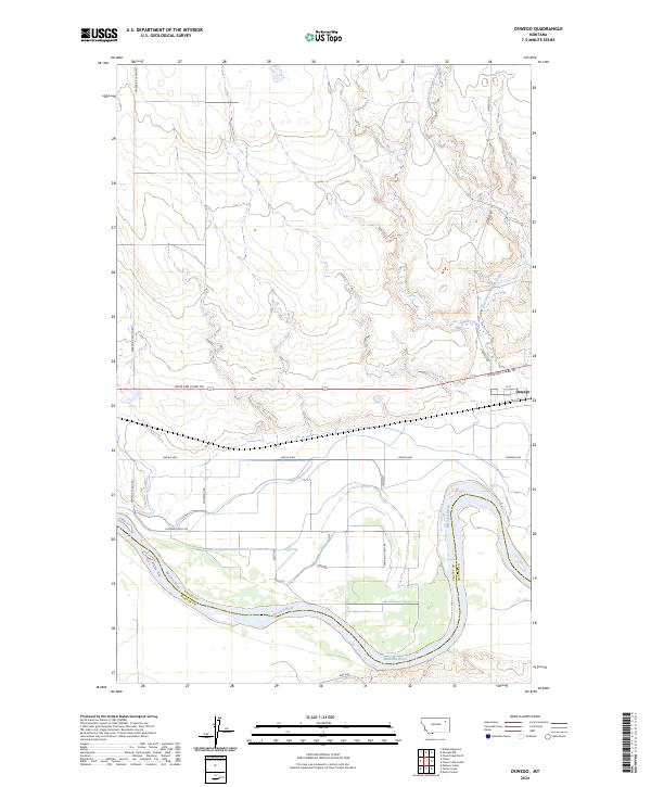 2024 Oswego2024 Print · USGSNortheast Montana at the edge of the river breaks reveals a landscape defined by the wide Missouri River and the settlement of Oswego. Genealogists and historians can trace local travel routes like the Lewis and Clark Trl and Indian Hwy.
 - 2024 Map of Spring Valley East, 2024 Print
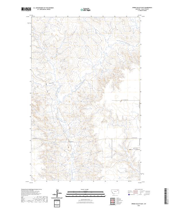 2024 Spring Valley East2024 Print · USGSSpring Valley and the high plains of Valley County are mapped here in the modern era, showing the enduring agricultural and ranching patterns of northern Montana. Researchers can trace the drainages of Little Porcupine Creek or locate local landmarks like the Olfert Airport and Lustre Grain Rd.
 - 2024 Map of West Fork NE, 2024 Print
 2024 West Fork NE2024 Print · USGSDaniels County ranchlands and river breaks are captured in this contemporary survey of the Montana plains. Genealogists and local researchers can locate the West Fork Cem and trace the drainage of the West Fork Poplar River near Shipstead Coulee.
Showing maps 1-25 of 32
Top cities near Oswego District
Top neighborhoods of Oswego District
Frequently asked questions
- What are the different types of historical maps available for Oswego District?
- What is the oldest map of Oswego District?
- Where can I purchase historical maps of Oswego District for my home or office?
- Where can I download high-res historical maps of Oswego District?
- Are there historical topographic maps available for Oswego District?
- Is there historical aerial imagery available for Oswego District?
- Where are historical maps of Oswego District sourced from?